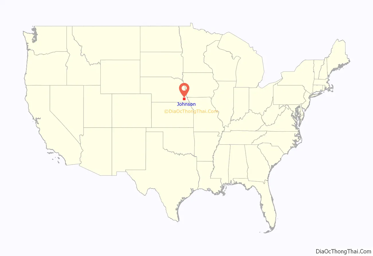
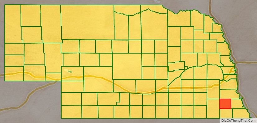
Johnson County is a county in the U.S. state of Nebraska. As of the 2020 United States Census, the population was 5,290. Its county seat is Tecumseh. The county was formed in 1855, and was organized in 1857. It was named after Richard Mentor Johnson, who was Vice President of the United States from 1837 to 1841.
In the Nebraska license plate system, Johnson County is represented by the prefix 57 (it had the fifty-seventh-largest number of vehicles registered in the county when the license plate system was established in 1922).
| Name: | Johnson County |
|---|---|
| FIPS code: | 31-097 |
| State: | Nebraska |
| Founded: | 1857 |
| Named for: | Richard Mentor Johnson |
| Seat: | Tecumseh |
| Largest city: | Tecumseh |
| Total Area: | 377 sq mi (980 km²) |
| Land Area: | 376 sq mi (970 km²) |
| Total Population: | 5,316 |
| Population Density: | 13.8/sq mi (5.3/km²) |
| Time zone: | UTC−6 (Central) |
| Summer Time Zone (DST): | UTC−5 (CDT) |
| Website: | johnsoncounty.ne.gov |
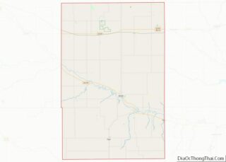
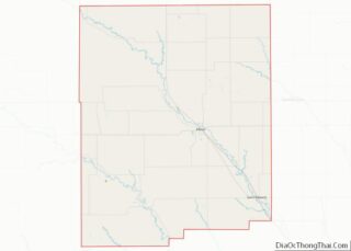
Johnson County location map. Where is Johnson County?
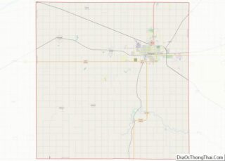
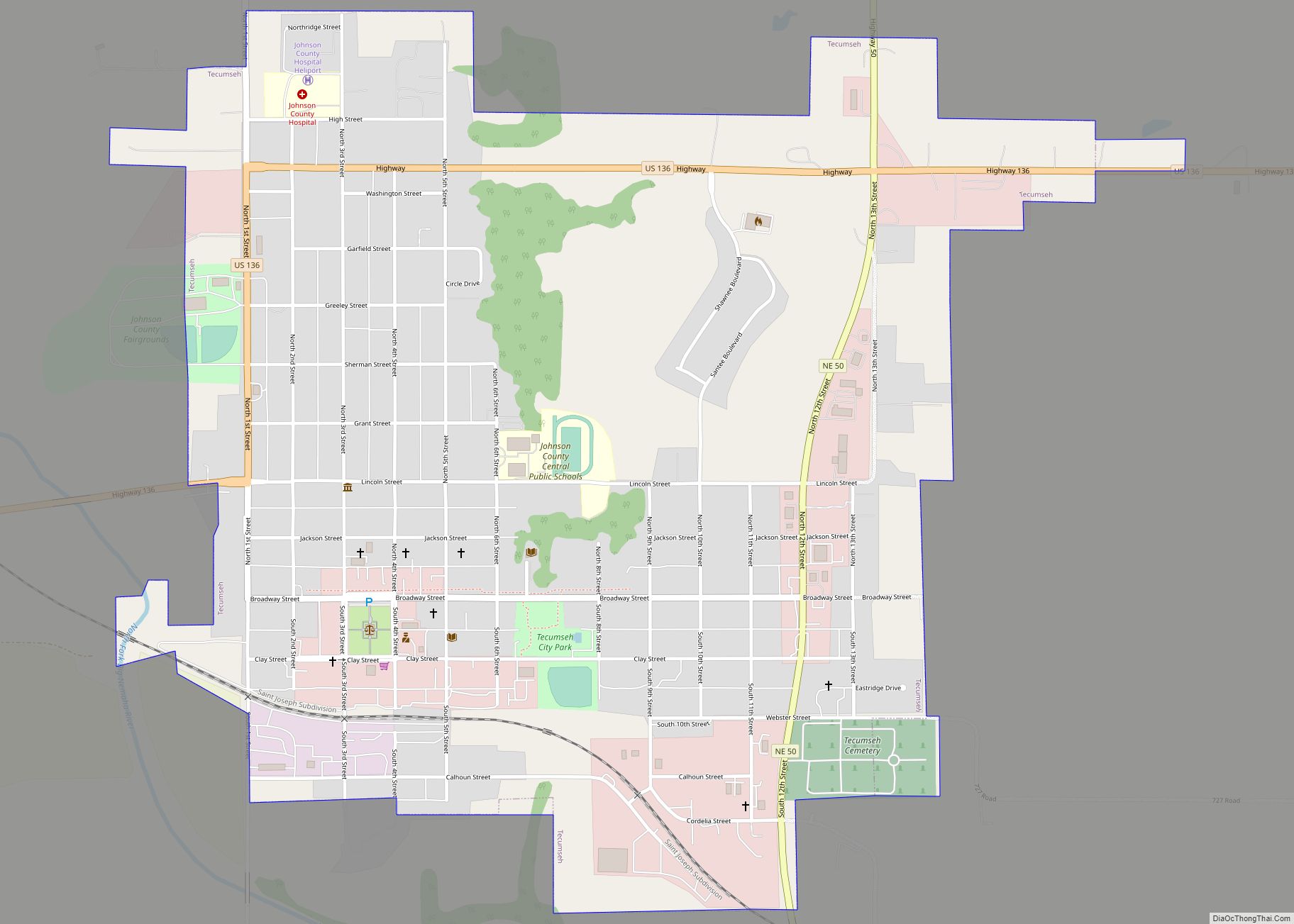
Johnson County Road Map
Geography
The terrain of Johnson County consists of low rolling hills whose flattened tops are mostly used for agriculture. The Big Nemaha River flows southeastward through the central part of the county. The county has a total area of 377 square miles (980 km), of which 376 square miles (970 km) is land and 0.7 square miles (1.8 km) (0.2%) is water. It is the fourth-smallest county in Nebraska by area.
Major highways
- U.S. Highway 136
- Nebraska Highway 41
- Nebraska Highway 50
- Nebraska Highway 62
Adjacent counties
- Otoe County – north
- Nemaha County – east
- Pawnee County – south
- Gage County – west
- Lancaster County – northwest
