Nemaha County is a county in the U.S. state of Nebraska. As of the 2020 United States Census, the population was 7,074. Its county seat is Auburn.
In the Nebraska license plate system, Nemaha County is represented by the prefix 44 (it had the forty-fourth-largest number of vehicles registered in the county when the license plate system was established in 1922).
| Name: | Nemaha County |
|---|---|
| FIPS code: | 31-127 |
| State: | Nebraska |
| Founded: | 1855 |
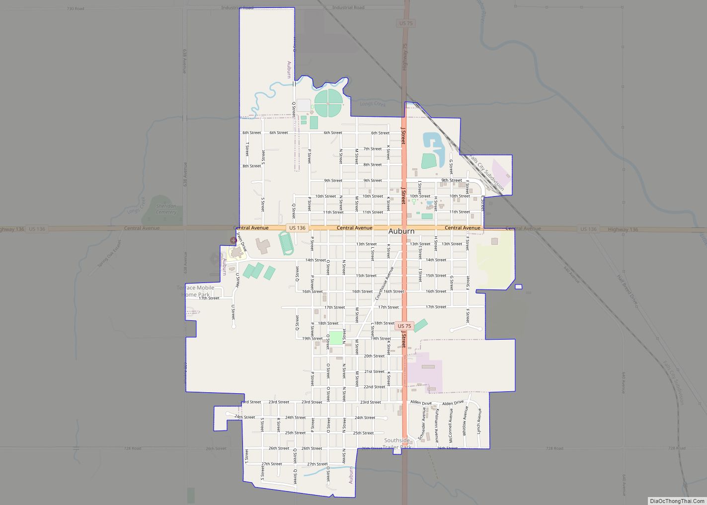
| Seat: | Auburn |
| Largest city: | Auburn |
| Total Area: | 410 sq mi (1,100 km²) |
| Land Area: | 407 sq mi (1,050 km²) |
| Total Population: | 7,064 |
| Population Density: | 17.2/sq mi (6.6/km²) |
| Time zone: | UTC−6 (Central) |
| Summer Time Zone (DST): | UTC−5 (CDT) |
| Website: | nemahacounty.ne.gov |
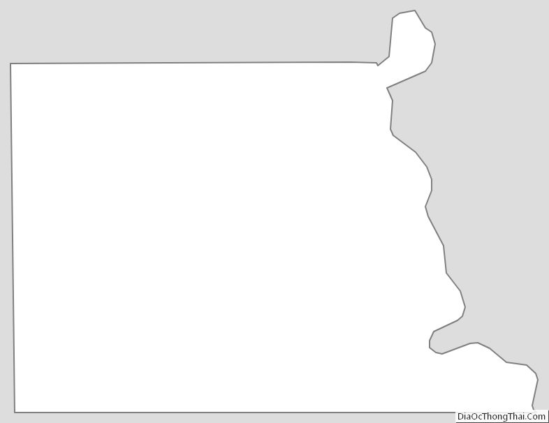
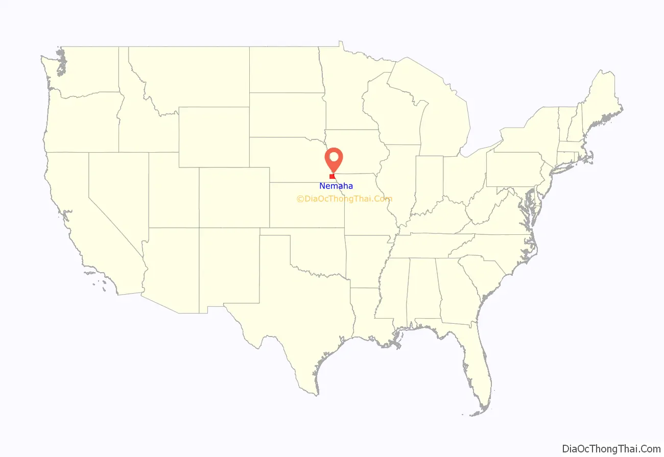
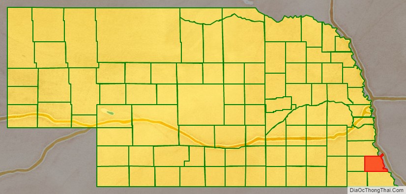
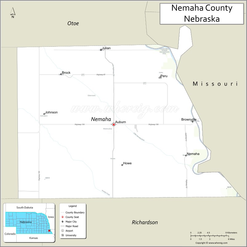
Nemaha County location map. Where is Nemaha County?
History
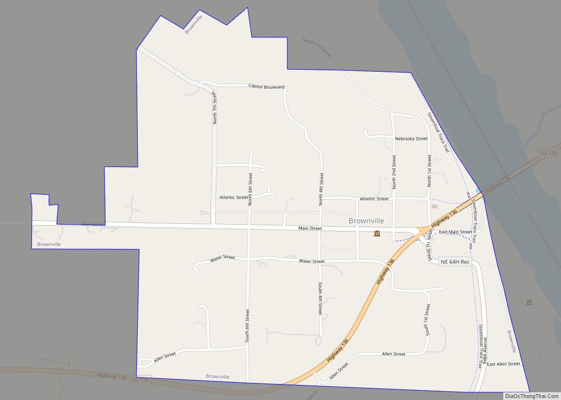
The county forms the core of the Nemaha Half-Breed Reservation formed in the Fourth Treaty of Prairie du Chien in 1830 as land for the offspring of traders and Native Americans. The grounds of modern Indian Cave State Park mark where the county’s first community, Saint Deroin, was founded in 1853 by members of the reservation as a trading post on the Missouri River. When white settlement was permitted in the Kansas–Nebraska Act of 1854, this area was part of Forney County (named for US cabinet member John W. Forney) which stretched along the Little Nemaha River from the Missouri River to west of Lincoln, Nebraska. In 1855 Nemaha County was formally founded with Brownville as its county seat. Johnson County, also founded in 1855, was initially administratively attached to Nemaha, but was organized as a stand-alone county in 1857.
Brownville was the biggest city in Nebraska at the time and several firsts occurred in the county including: in 1861 the first state normal school was founded at what today is Peru State College; Daniel Freeman filed the first claim under the Homestead Act of 1862 for land on January 1, 1863, at the Brownville land office.
The Nebraska State Fair was held in the county at Brownville in 1870–1871.
In 1883 the county seat was moved to Auburn.
In 1974 the Cooper Nuclear Station was commissioned south of Brownville.
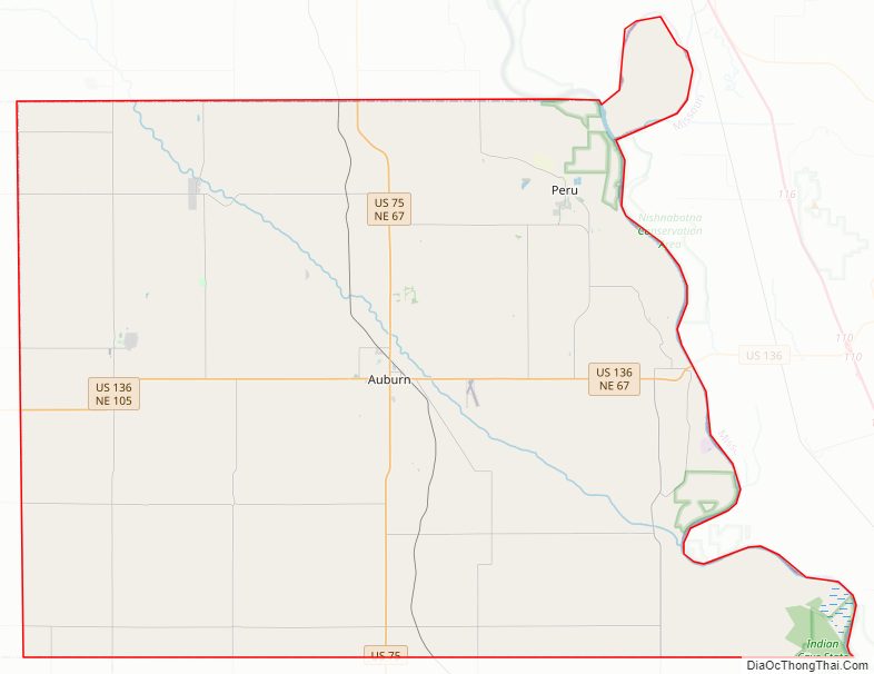
Nemaha County Road Map
Geography
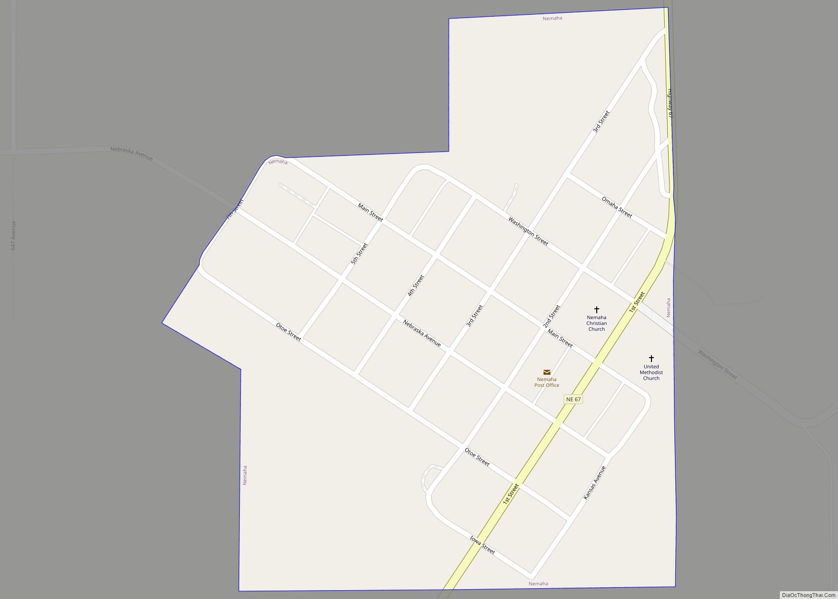
Nemaha County lies on the eastern edge of Nebraska. Its east boundary line abuts the west boundary line of the state of Missouri (across the Missouri River). Most of the county’s eastern border follows the Missouri River bordering Atchison County, Missouri. In the county’s extreme northeast corner, the border follows the river’s former course, lying nearly two miles (3 km) east of the present-day channel. This de facto enclave is McKissick Island. The Nemaha River flows southeastward through the upper eastern portion of the county, discharging into the Missouri River below the village of Nemaha.
The county’s terrain consists of low rolling hills, sloping eastward to the Missouri River valley. Much of the terrain is devoted to agriculture. The county has a total area of 410 square miles (1,100 km), of which 407 square miles (1,050 km) is land and 2.2 square miles (5.7 km) (0.5%) is water.
Major highways
- U.S. Highway 75
- U.S. Highway 136
- Nebraska Highway 62
- Nebraska Highway 67
- Nebraska Highway 105
Protected area
- Indian Cave State Park (part)
Adjacent counties
- Otoe County – north
- Atchison County, Missouri – east
- Holt County, Missouri – southeast
- Richardson County – south
- Pawnee County – southwest
- Johnson County – west
Nemaha County Topographic Map
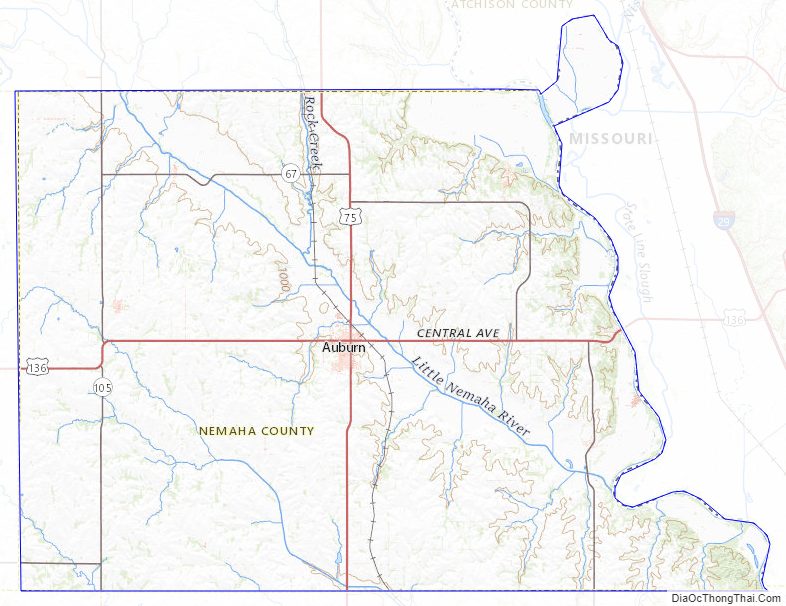
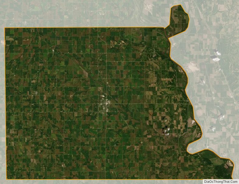
Nemaha County Satellite Map
Nemaha County Outline Map