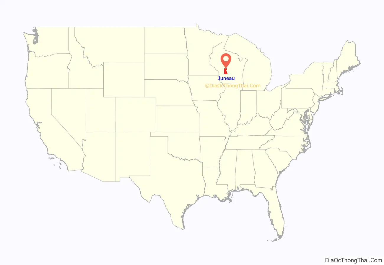
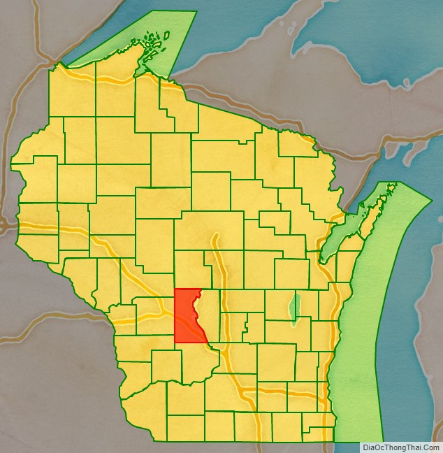
Juneau County is a county located in the U.S. state of Wisconsin. As of the 2020 census, the population was 26,718. Its county seat is Mauston.
| Name: | Juneau County |
|---|---|
| FIPS code: | 55-057 |
| State: | Wisconsin |
| Founded: | 1857 |
| Named for: | Solomon Juneau |
| Seat: | Mauston |
| Largest city: | Mauston |
| Total Area: | 804 sq mi (2,080 km²) |
| Land Area: | 767 sq mi (1,990 km²) |
| Total Population: | 26,718 |
| Population Density: | 34.8/sq mi (13.4/km²) |
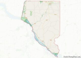
Juneau County location map. Where is Juneau County?
History
Before white settlement, before loggers and explorers, the area that is now Juneau County was the home of Native Americans who left behind artifacts like the thunderbirds etched on the wall at Twin Bluffs and the Gee’s Slough mounds outside New Lisbon.
Juneau County was established in 1857 when the Wisconsin Legislature passed legislation separating lands west of the Wisconsin River from what was then Adams County. After a contest with neighboring New Lisbon, the county seat was established in Maugh’s Town, which is known today as Mauston. The county was named after Solomon Juneau, a founder of Milwaukee.
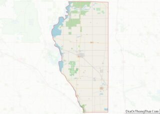
Juneau County Road Map
Geography
According to the U.S. Census Bureau, the county has a total area of 804 square miles (2,080 km), of which 767 square miles (1,990 km) is land and 37 square miles (96 km) (4.6%) is water.
Major highways
Railroads
- Canadian National
- Canadian Pacific
- Union Pacific
Buses
- List of intercity bus stops in Wisconsin
Airports
- Necedah Airport (KDAF), serves the county and surrounding communities.
- Mauston–New Lisbon Union Airport (82C) enhances county service.
Adjacent counties
- Wood County – north
- Adams County – east
- Columbia County – southeast
- Sauk County – south
- Vernon County – southwest
- Monroe County – west
- Jackson County – northwest
National protected area
- Necedah National Wildlife Refuge
United States Military Posts
- Volk Field Air National Guard Base
Fort McCoy outside of Juneau county
