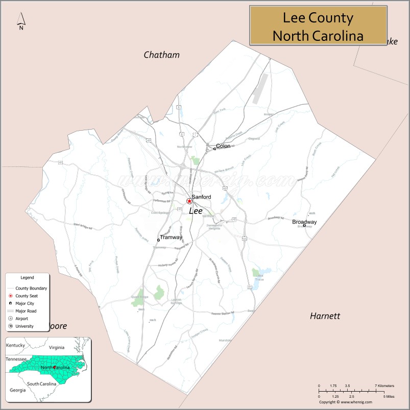
Lee County is a county located in the U.S. state of North Carolina. As of the 2020 census, the population was 63,285. The county seat is Sanford. It was established on March 6, 1907, from parts of Chatham and Moore counties, and named for General Robert E. Lee, who served as the General in Chief of the Armies of the Confederate States in 1865.
Lee County comprises the Sanford Micropolitan Statistical Area, which is a part of the Fayetteville Combined Statistical Area, more commonly known as the Fayetteville area, which had a 2019 estimated population of 854,826. Lee County’s motto is “Committed Today for a Better Tomorrow”.
| Name: | Lee County |
|---|---|
| FIPS code: | 37-105 |
| State: | North Carolina |
| Founded: | 1907 |
| Named for: | General Robert E. Lee |
| Seat: | Sanford |
| Largest city: | Sanford |
| Total Area: | 259 sq mi (670 km²) |
| Land Area: | 255 sq mi (660 km²) |
| Total Population: | 64,138 |
| Population Density: | 251.5/sq mi (97.1/km²) |
| Time zone: | UTC−5 (Eastern) |
| Summer Time Zone (DST): | UTC−4 (EDT) |
| Website: | www.leecountync.gov |
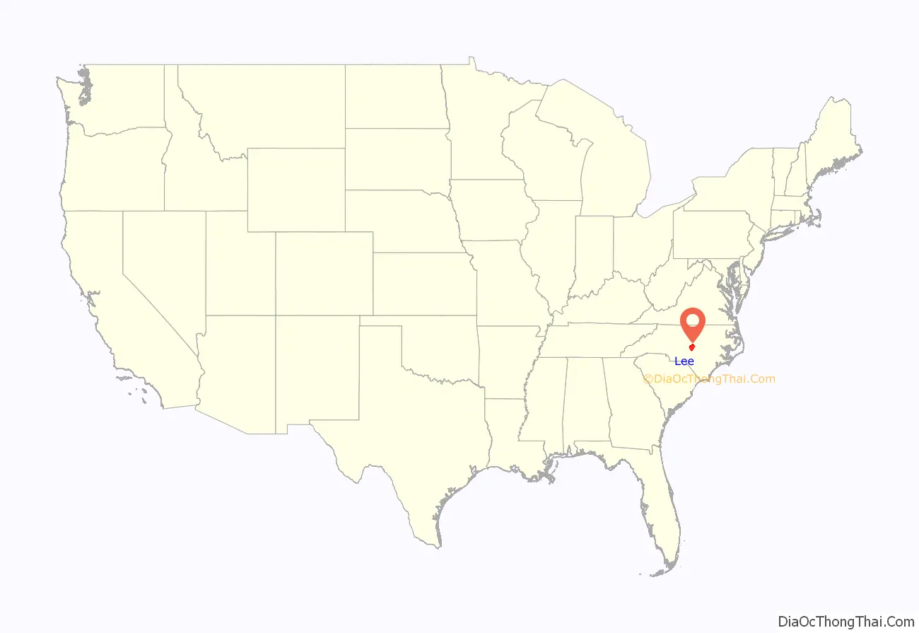
Lee County location map. Where is Lee County?
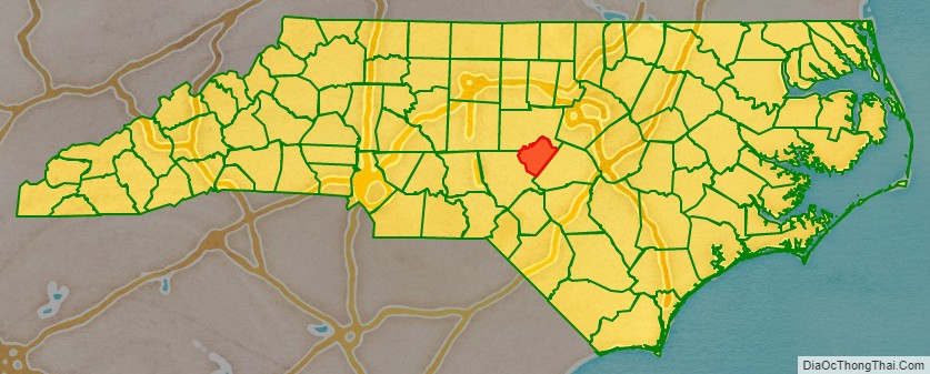
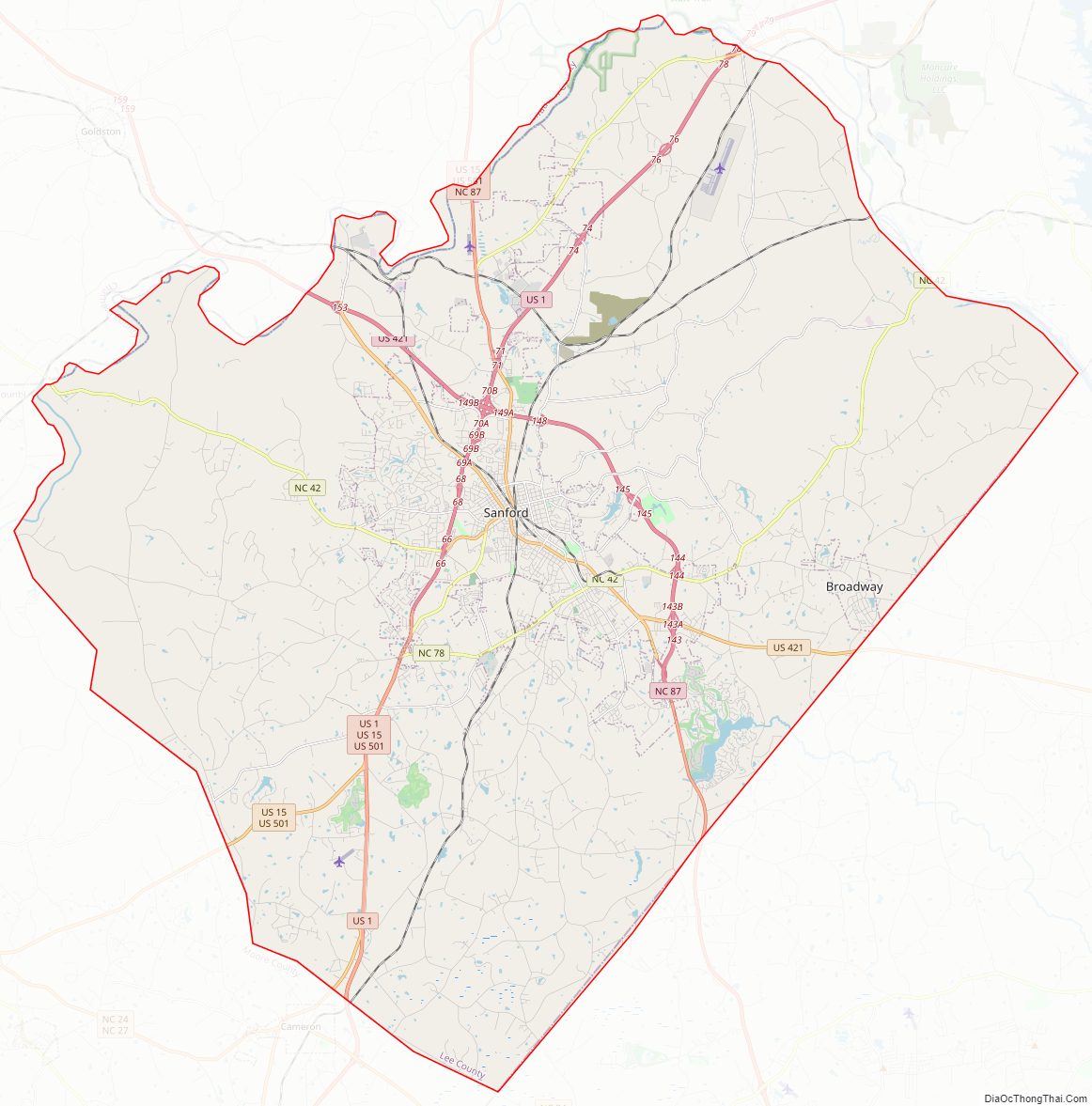
Lee County Road Map
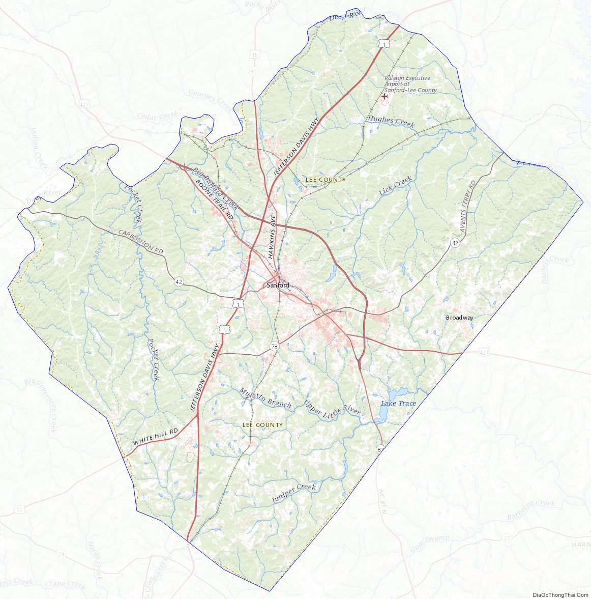
Geography
According to the U.S. Census Bureau, the county has a total area of 259 square miles (670 km), of which 255 square miles (660 km) is land and 4.1 square miles (11 km) (1.6%) is water.
State and local protected areas/sites
- Buckhorn Dam
- White Pines Nature Preserve (part)
Major water bodies
- Big Governors Creek
- Cape Fear River
- Cypress Creek
- Deep River
- Juniper Creek (Cape Fear River tributary)
- Lake Trace
- Lake Villanow
- Lick Creek
- Little Buffalo Creek (Deep River tributary)
- Little Governors Creek
- Little Pocket Creek
- Pocket Creek (Deep River tributary)
- Roberts Creek
Adjacent counties
- Chatham County – north
- Harnett County – southeast
- Moore County – southwest
Major highways
- Future I-685 (Concurrency with US 421)
- US 1
- US 15
- US 421
- US 421 Bus.
- US 501
- NC 42
- NC 78
- NC 87
- NC 87 Byp.
Major infrastructure
- Raleigh Executive Jetport
Lee County Topographic Map
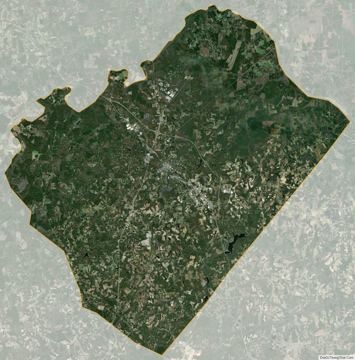
Lee County Satellite Map
Lee County Outline Map