Moore County is a county located in the U.S. state of North Carolina. As of the 2020 census, its population was 99,727.
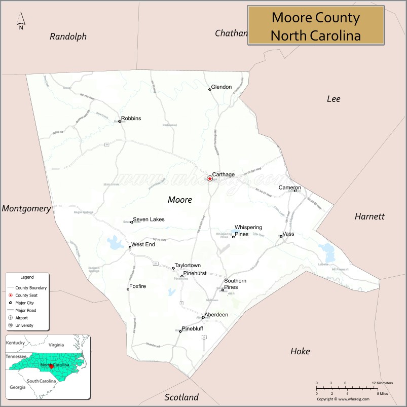
Its county seat is Carthage and its largest municipality is the Village of Pinehurst. It is a border county between the Piedmont and the Atlantic Coastal Plain.
In the early years, the economy was dependent on agriculture and lumber. The lumber business expanded after railroads reached the area, improving access to markets. It lies at the northern edge of the area known as the Sandhills region, and developed resorts in the late 19th century, aided by railroads.
Since the early 21st century, Moore County comprises the Aberdeen–Pinehurst–Southern Pines, North Carolina Micropolitan Statistical Area. Moore County is a part of the Fayetteville Combined Statistical Area, which as of 2019 had an estimated population of 854,826, making it the 65th largest CSA in the United States.
| Name: | Moore County |
|---|---|
| FIPS code: | 37-125 |
| State: | North Carolina |
| Founded: | 1784 |
| Named for: | Alfred Moore |
| Seat: | Carthage |
| Total Area: | 706 sq mi (1,830 km²) |
| Land Area: | 698 sq mi (1,810 km²) |
| Total Population: | 102,763 |
| Population Density: | 147.2/sq mi (56.8/km²) |
| Time zone: | UTC−5 (Eastern) |
| Summer Time Zone (DST): | UTC−4 (EDT) |
| Website: | www.moorecountync.gov |
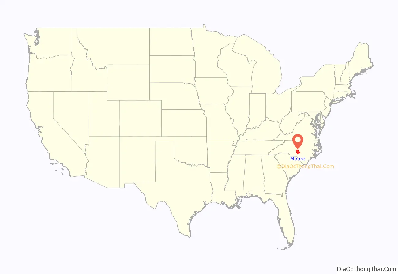
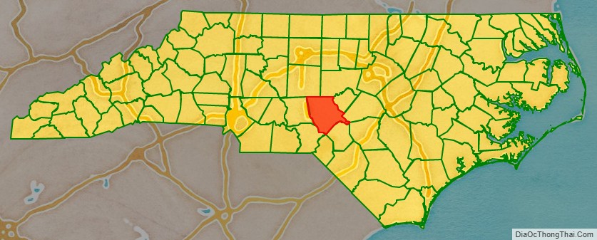
Moore County location map. Where is Moore County?
History
Indigenous peoples occupied this area, with varying cultures over thousands of years. In the historic period that included European encounter, tribes included Algonquian-speaking tribes, Siouan-speaking tribes and the Iroquoian-speaking Cherokee in the western mountains.
This area was settled by Gaels from the Scottish Highlands and Islands and their descendants. The Loyalist war poet Iain mac Mhurchaidh, a member of Clan Macrae from Kintail and a major figure in Scottish Gaelic literature, purchased 150 acres in Moore County in 1775.
The county was formed in 1785, shortly after the American Revolutionary War, from part of Cumberland County. It was named after Alfred Moore, an officer in the American Revolutionary War and associate justice of the Supreme Court of the United States.
In 1907 parts of Moore and Chatham counties were combined to form Lee County.
Moore County has many golf resorts in the Southern Pines/Pinehurst area, and hosted the 1996 and 2001 Women’s U.S. Opens, as well as the 1999 and 2005 Men’s U.S. Opens. The Women’s Open returned to Southern Pines in 2007. In 2014, they consecutively hosted both the Women’s and Men’s Opens in the same year, a first in U.S. Open history.
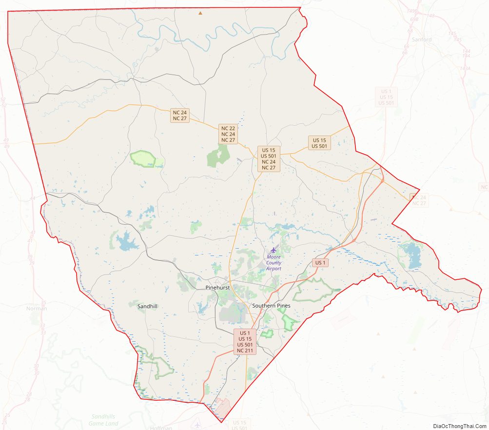
Moore County Road Map
Geography
According to the U.S. Census Bureau, the county has a total area of 706 square miles (1,830 km), of which 698 square miles (1,810 km) is land and 8.0 square miles (21 km) (1.1%) is water.
State and local protected areas/sites
- House in the Horseshoe
- Sandhills Game Land (part)
- Weymouth Woods-Sandhills Nature Preserve
Major water bodies
- Aberdeen Creek (Drowning Creek tributary)
- Auman Lake
- Big Governors Creek
- Crane Creek (Little River tributary)
- Deep Creek
- Deep River
- Drowning Creek
- Dunhams Creek
- Horse Creek
- Jackson Creek
- Killets Creek
- Lake Surf
- Little Governors Creek
- Little River (Cape Fear River tributary)
- McLendons Creek
- Pagers Lake
- Pinehurst Lake
- Richland Creek
- Thagards Lake
- Watson Lake
- Wolf Creek
Adjacent counties
- Chatham County – north
- Lee County – northeast
- Harnett County – east
- Cumberland County – southeast
- Hoke County – southeast
- Scotland County – south
- Richmond County – southwest
- Montgomery County – west
- Randolph County – north
Major highways
- US 1
- US 1 Bus.
- US 15
- US 501
- NC 2
- NC 5
- NC 22
- NC 24
- NC 27
- NC 73
- NC 211
- NC 690
- NC 705
Major infrastructure
- Gilliam – McConnell Airfield, small local airfield located in the county
- Moore County Airport
- Southern Pines Station
Moore County Topographic Map
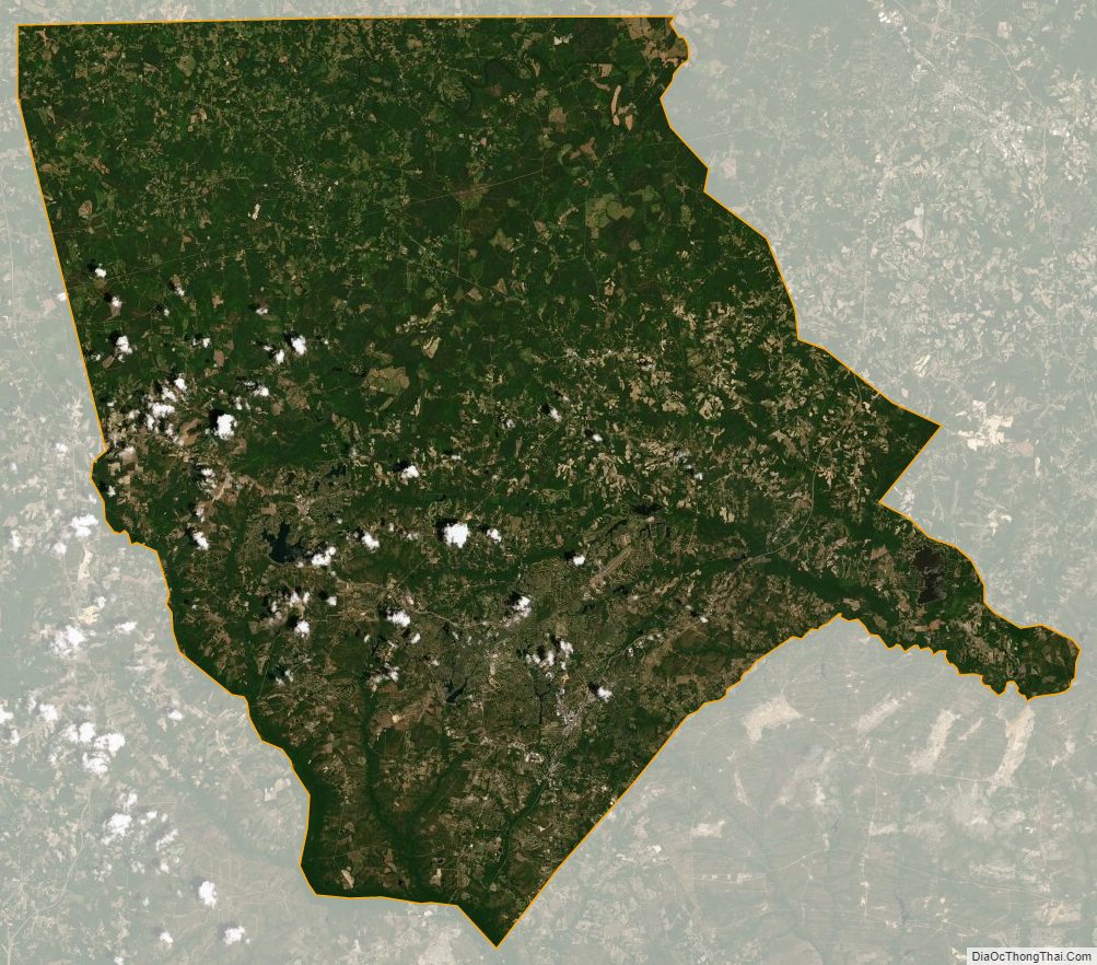
Moore County Satellite Map
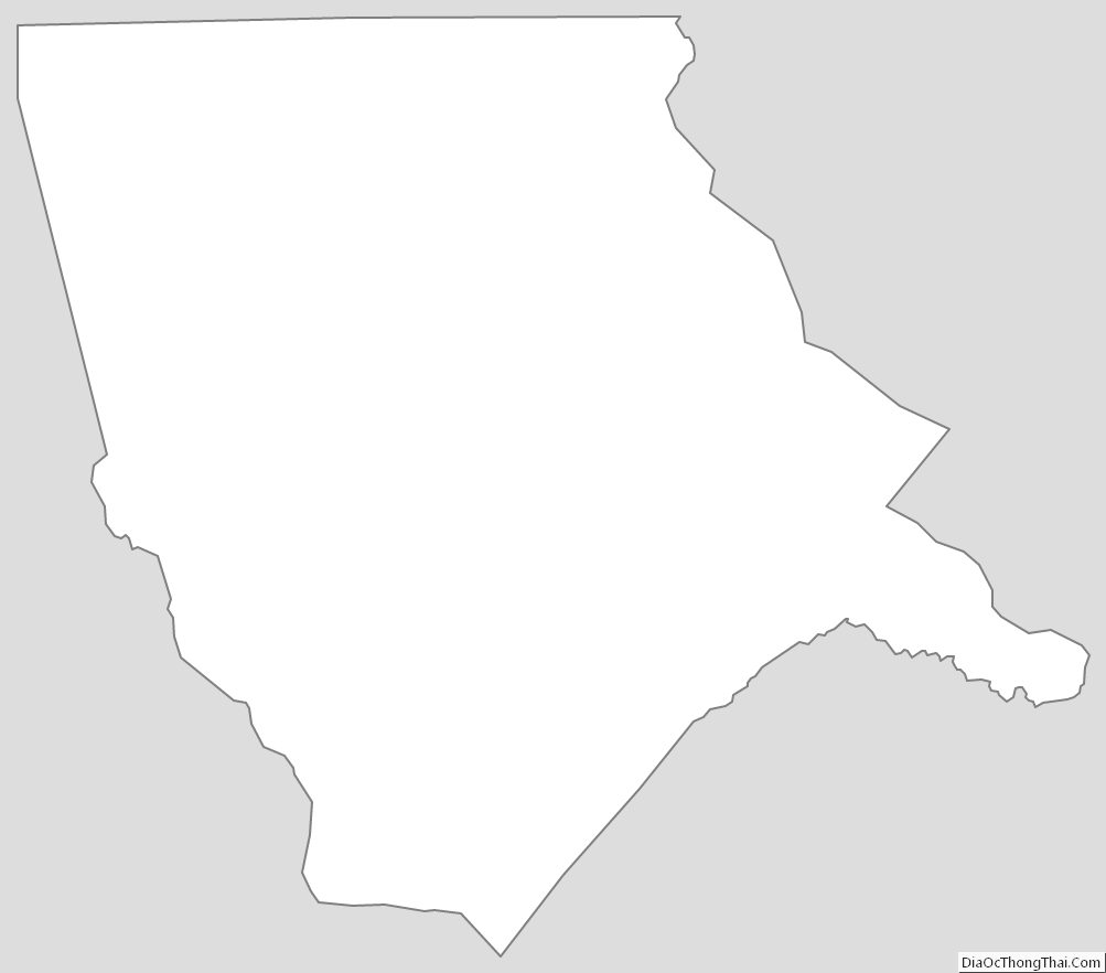
Moore County Outline Map