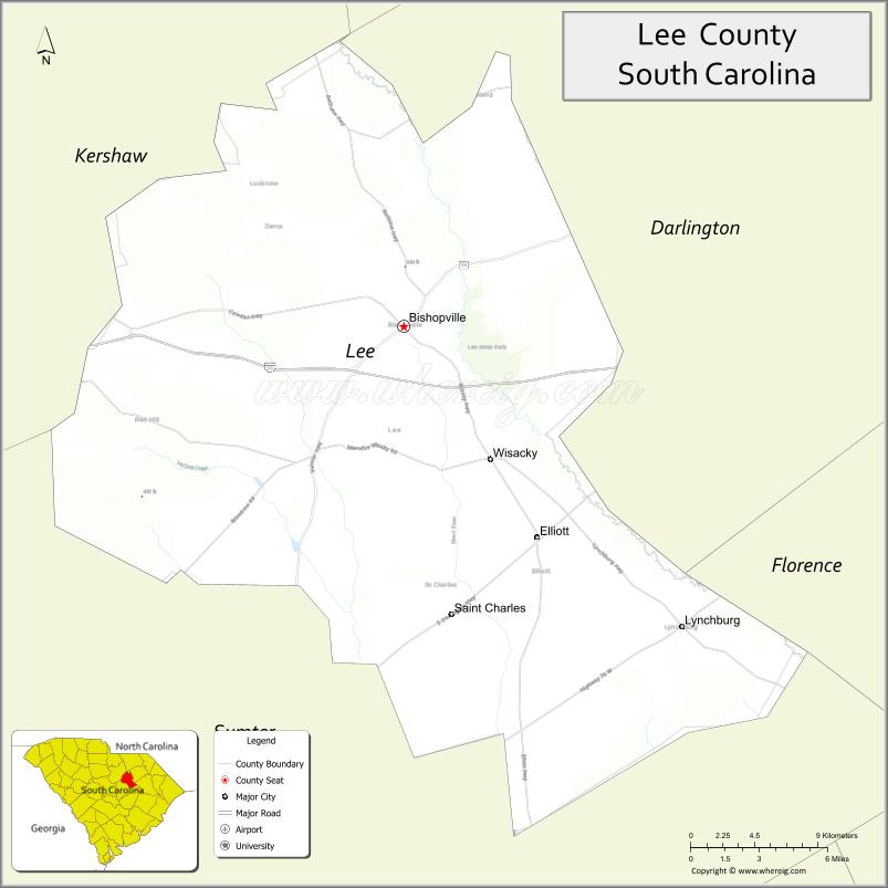
Lee County is a county located in the U.S. state of South Carolina. As of the 2020 census, its population was 16,531, making it the fifth-least populous county in South Carolina. Its county seat is Bishopville.
| Name: | Lee County |
|---|---|
| FIPS code: | 45-061 |
| State: | South Carolina |
| Founded: | December 15, 1902 |
| Named for: | Robert E. Lee |
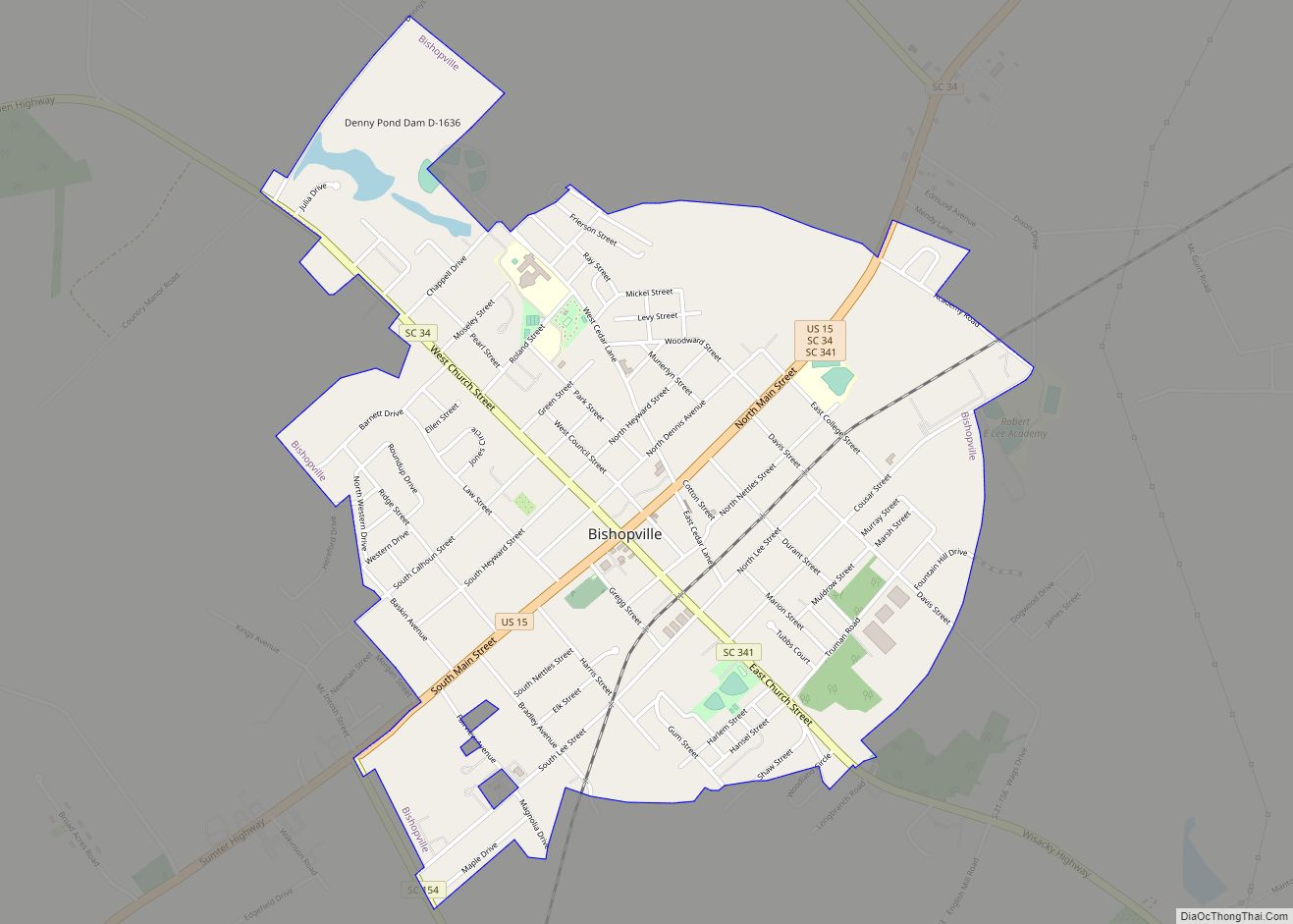
| Seat: | Bishopville |
| Largest town: | Bishopville |
| Total Area: | 411 sq mi (1,060 km²) |
| Land Area: | 410 sq mi (1,100 km²) |
| Total Population: | 16,280 |
| Population Density: | 39.7/sq mi (15.3/km²) |
| Time zone: | UTC−5 (Eastern) |
| Summer Time Zone (DST): | UTC−4 (EDT) |
| Website: | www.leecountysc.org |
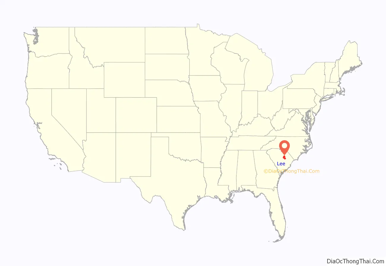
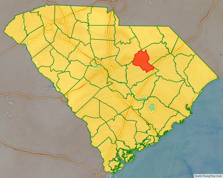
Lee County location map. Where is Lee County?
History
The county is named for Confederate general Robert E. Lee. A previous incarnation of Lee County was established in 1898 and was disestablished the next year. The current Lee County formed on December 15, 1902.
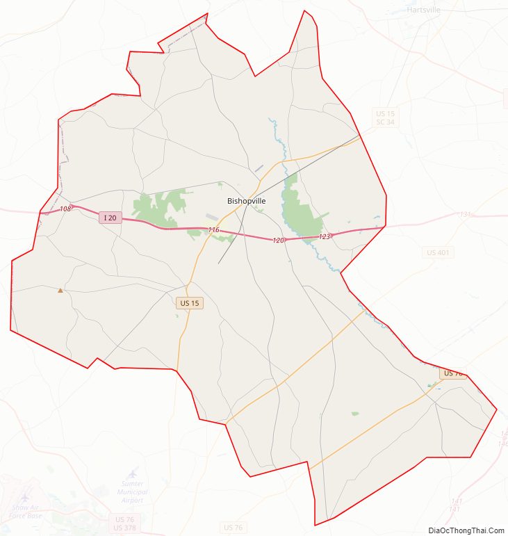
Lee County Road Map
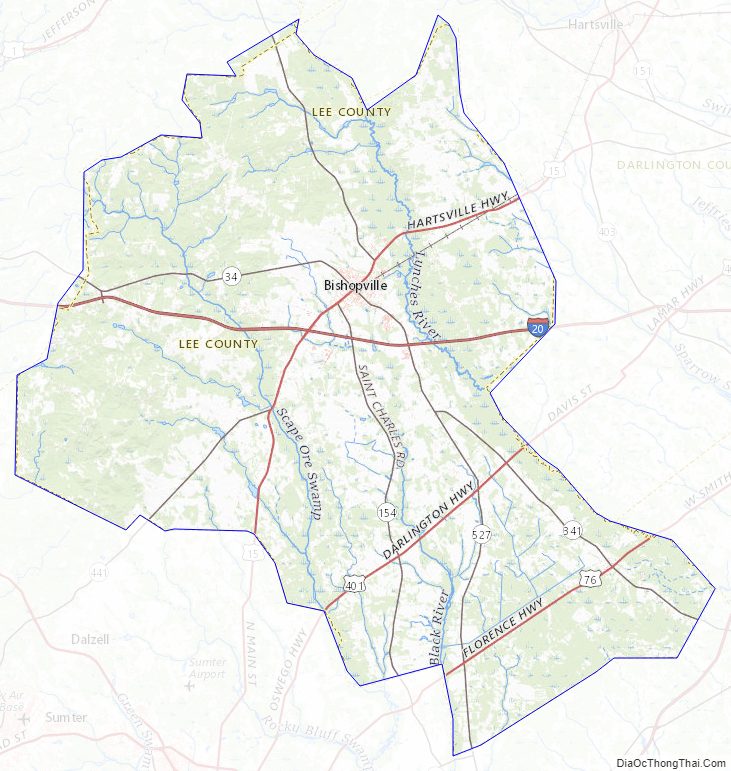
Geography
According to the U.S. Census Bureau, the county has a total area of 411 square miles (1,060 km), of which 410 square miles (1,100 km) is land and 1.0 square mile (2.6 km) (0.3%) is water.
State and local protected areas
- Lee State Natural Area
- Longleaf Pine Heritage Preserve/Wildlife Management Area (part)
- Lynchburg Savanna Heritage Preserve/Wildlife Management Area
- Mary McLeod Bethune Birthplace
Major water bodies
- Black River
- Lynches River
Adjacent counties
- Darlington County – northeast
- Florence County – east
- Sumter County – south
- Kershaw County – northwest
Major highways
- I-20
- US 15
- US 76
- US 401
- SC 34
- SC 154
- SC 341
- SC 441
Lee County Topographic Map
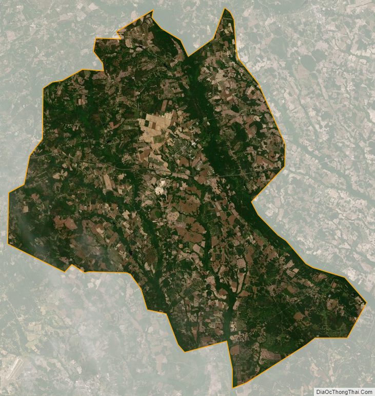
Lee County Satellite Map
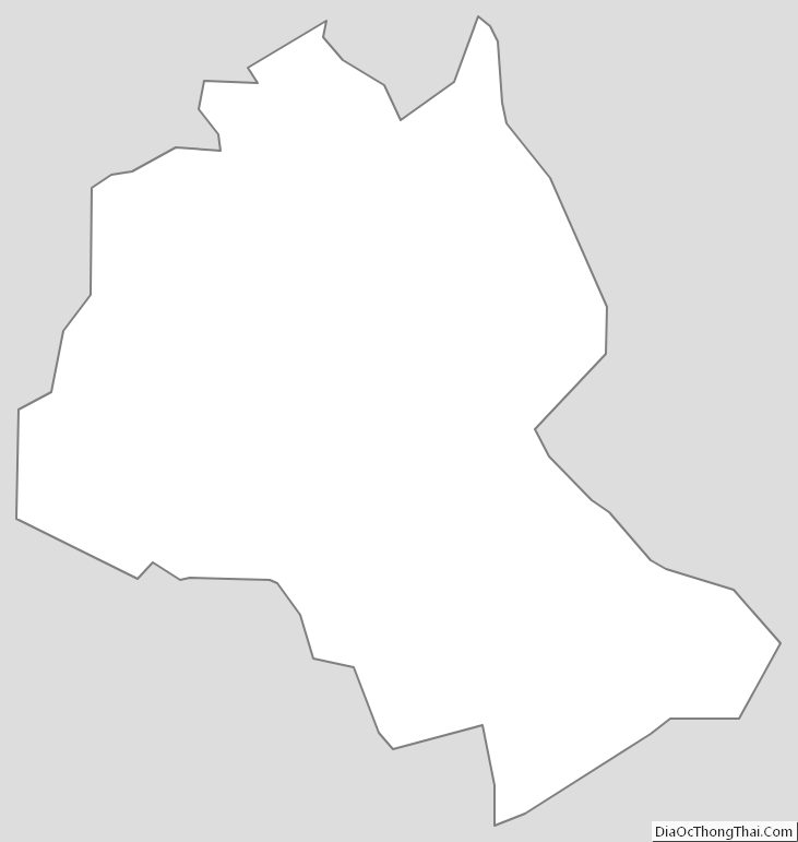
Lee County Outline Map