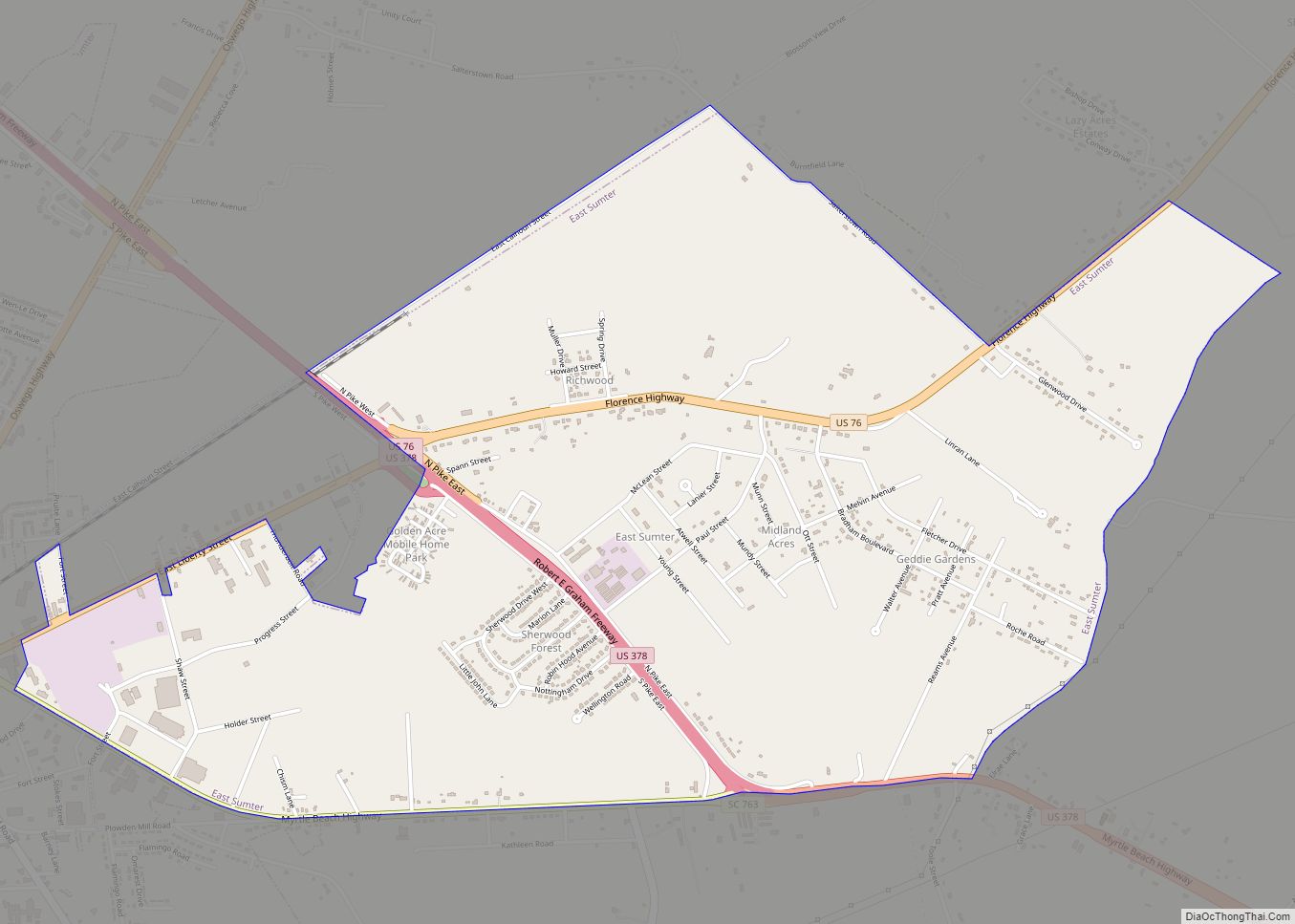
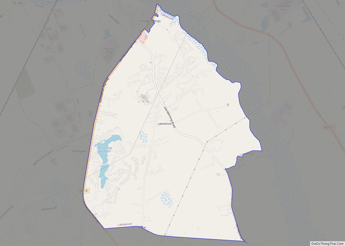
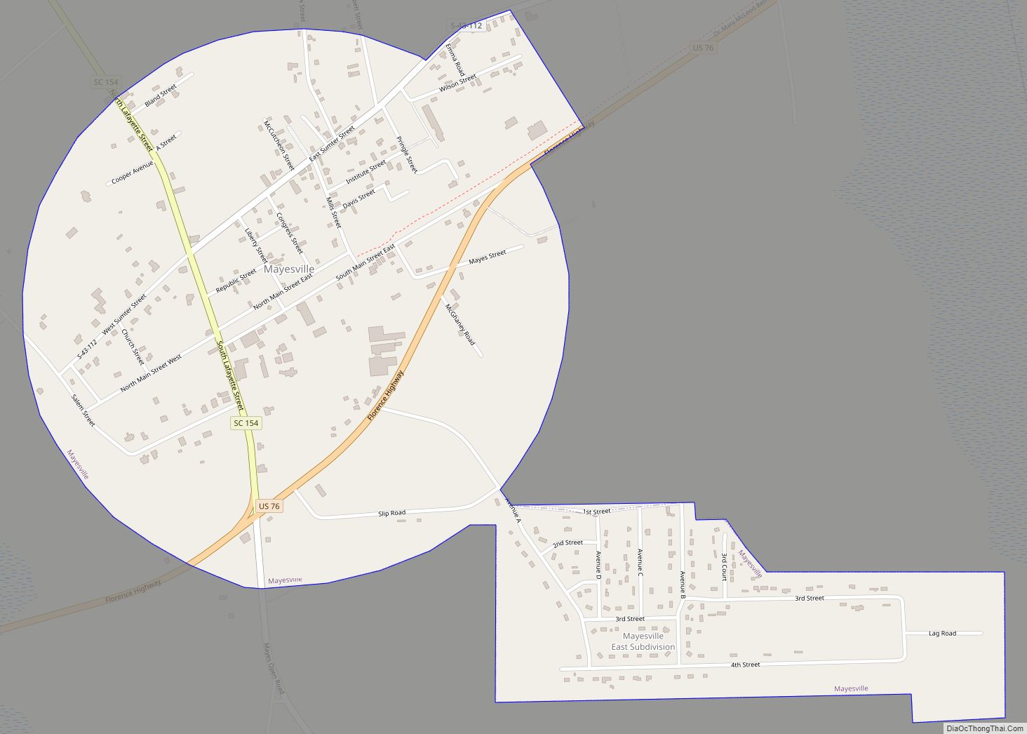
Sumter County is a county located in the U.S. state of South Carolina. As of the 2020 census, the population was 105,556. In a 2018 census estimate, the population was 106,512. Its county seat is Sumter.
Sumter County comprises the Sumter, South Carolina Metropolitan Statistical Area, which, combined with neighboring Lee and Clarendon counties, formed the Sumter-Bishopville–Manning Combined Statistical Area, otherwise known as the “East Midlands” area.
It is the home of Shaw AFB, headquarters to the 9th Air Force, AFCENT, United States Army Central, with a number of other tenant units. It is one of largest bases in the USAF’s Air Combat Command.
| Name: | Sumter County |
|---|---|
| FIPS code: | 45-085 |
| State: | South Carolina |
| Founded: | January 1, 1800 |
| Named for: | Thomas Sumter |
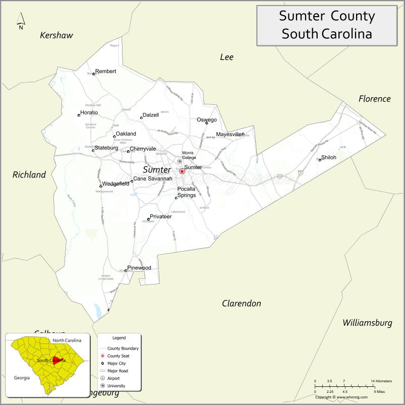
| Seat: | Sumter |
| Largest city: | Sumter |
| Total Area: | 682 sq mi (1,770 km²) |
| Land Area: | 665 sq mi (1,720 km²) |
| Total Population: | 104,758 |
| Population Density: | 157.5/sq mi (60.8/km²) |
| Time zone: | UTC−5 (Eastern) |
| Summer Time Zone (DST): | UTC−4 (EDT) |
| Website: | www.sumtercountysc.org |
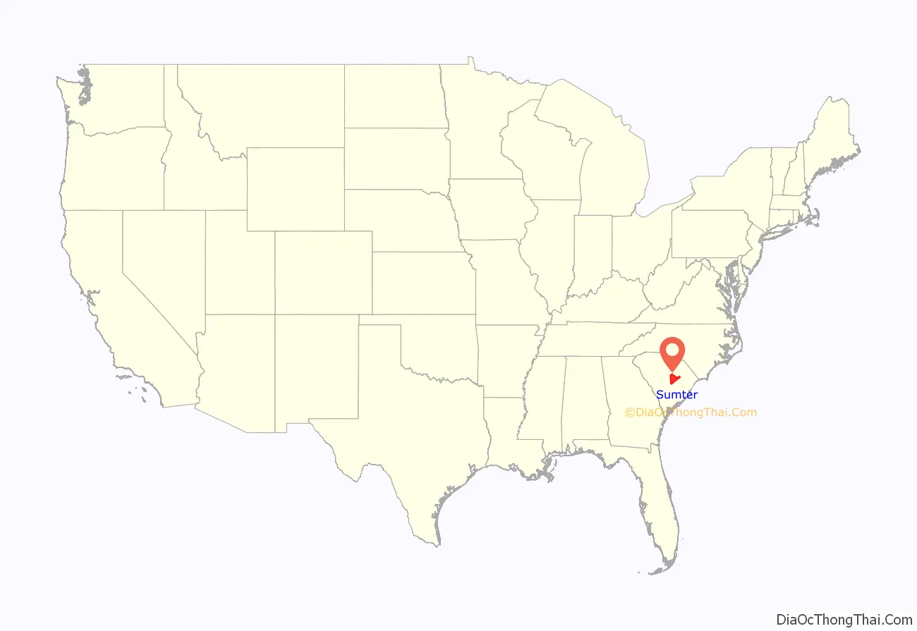
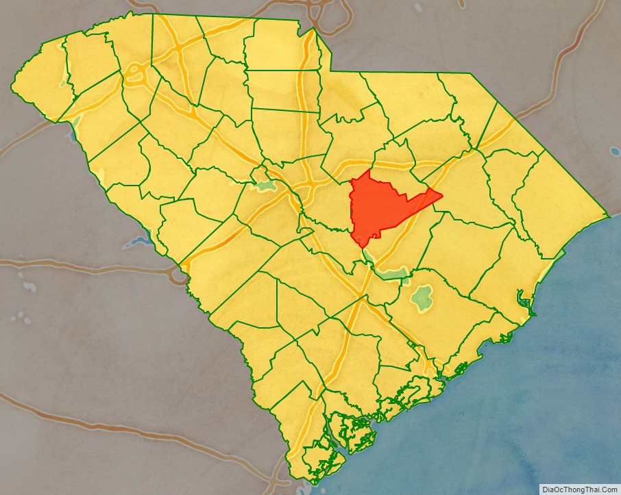
Sumter County location map. Where is Sumter County?
History
Sumter County was created from Clarendon, Claremont and Salem Counties as Sumter District in 1798, named after General Thomas Sumter, and became effective in 1800. When the home of Sumter District’s clerk of records burnt in 1801, the formative records of the three predecessor counties were also destroyed in the conflagration. So documentary evidence that the three counties were within St. Mark’s Parish (formed in 1757 from Prince Frederick’s Parish, Craven County) in Camden District (formed 1769) derives from family genealogies and legislative records.
On 19 December 1855, a legislative act was passed partitioning Sumter District by forming Clarendon District, with the same boundaries as defined for Clarendon County in 1785. When effectuated in 1857, a northeastern part of Sumter District (formerly in Salem County) was also separated in the partition (the area east of a line drawn from the northernmost point of old Clarendon County continued north-northeasterly to a point on the boundary line with Darlington District (Sumter County’s northeastern cornerpoint abutting Florence County since 1888).
The Sumter District gained a form of self-rule and was renamed Sumter County under the 1868 Constitution.
In 1898, a northwestern part of Sumter County was detached to form part of the first Lee County, but its formation was declared unconstitutional in 1899. In 1902, an even larger northern part of Sumter County (more or less the remaining part of former Salem County) was properly legally detached to form the major sections of the current Lee County, of which some acreage reverted in 1914.
In 1921 southern Sumter County received a section from Clarendon County, of which some acreage reverted in 1922, creating the current boundaries of Sumter County.
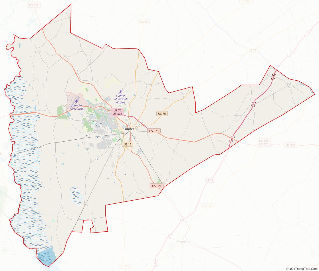
Sumter County Road Map
Geography
According to the U.S. Census Bureau, the county has a total area of 682 square miles (1,770 km), of which 665 square miles (1,720 km) is land and 17 square miles (44 km) (2.5%) is water. It is drained by the Black River and its tributaries. Its western border is formed by the Wateree River. One of South Carolina’s most famous areas are the High Hills of Santee comprising the western part of the county. The county is one of five that borders Lake Marion, also known as South Carolina’s “Inland Sea.”
State and local protected areas/sites
- Longleaf Pine Heritage Preserve/ Wildlife Management Area (part)
- Manchester State Forest
- Millford Plantation Historic Site
- Poinsett State Park
- Swan Lake Iris Gardens
- Tuomey Wildlife Management Area
- Woods Bay State Park (part)
Major water bodies
- Congaree River
- Lake Marion
- Lynches River
- Pocoaligo River
- Rocky Bluff Swamp
- Scape Ore Swamp
- Wateree River
Adjacent counties
- Lee County – north
- Florence County – northeast
- Clarendon County – south
- Calhoun County – southwest
- Richland County – west
- Kershaw County – northwest
Major highways
- I-95
- US 15
- US 15 Conn.
- US 76
- US 76 Bus.
- US 378
- US 401
- US 521
- SC 120
- SC 261
- SC 441
- SC 763
Major infrastructure
- Shaw Air Force Base
- Sumter Airport
Sumter County Topographic Map
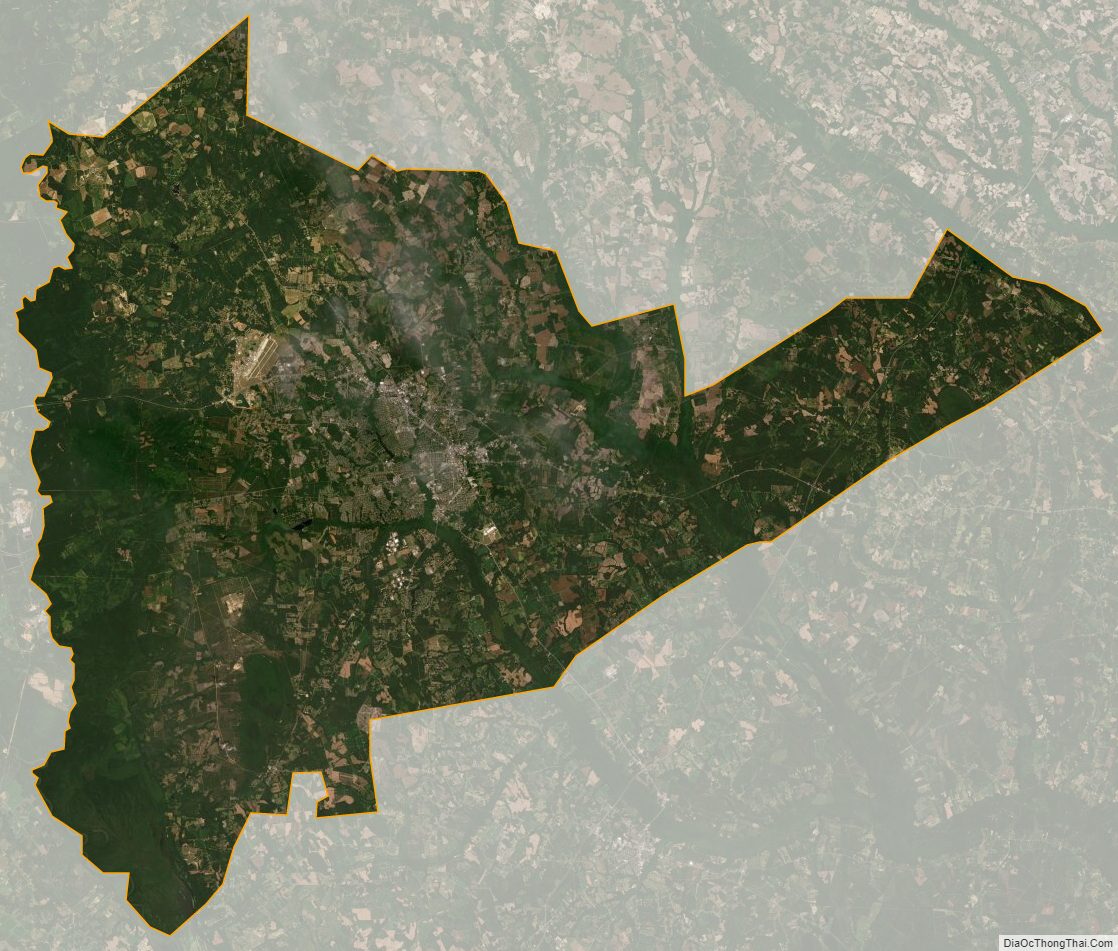
Sumter County Satellite Map
Sumter County Outline Map