Aiken County /ˈeɪkən/ is a county in the U.S. state of South Carolina. As of the 2020 census, its population was 168,808. Its county seat and largest city is Aiken. Aiken County is a part of the Augusta-Richmond County, GA-SC Metropolitan Statistical Area. It is mostly in the Sandhills region, with the northern parts reaching in the Piedmont and southern parts reaching into the Coastal Plain.
| Name: | Aiken County |
|---|---|
| FIPS code: | 45-003 |
| State: | South Carolina |
| Founded: | 1871 |
| Named for: | William Aiken |
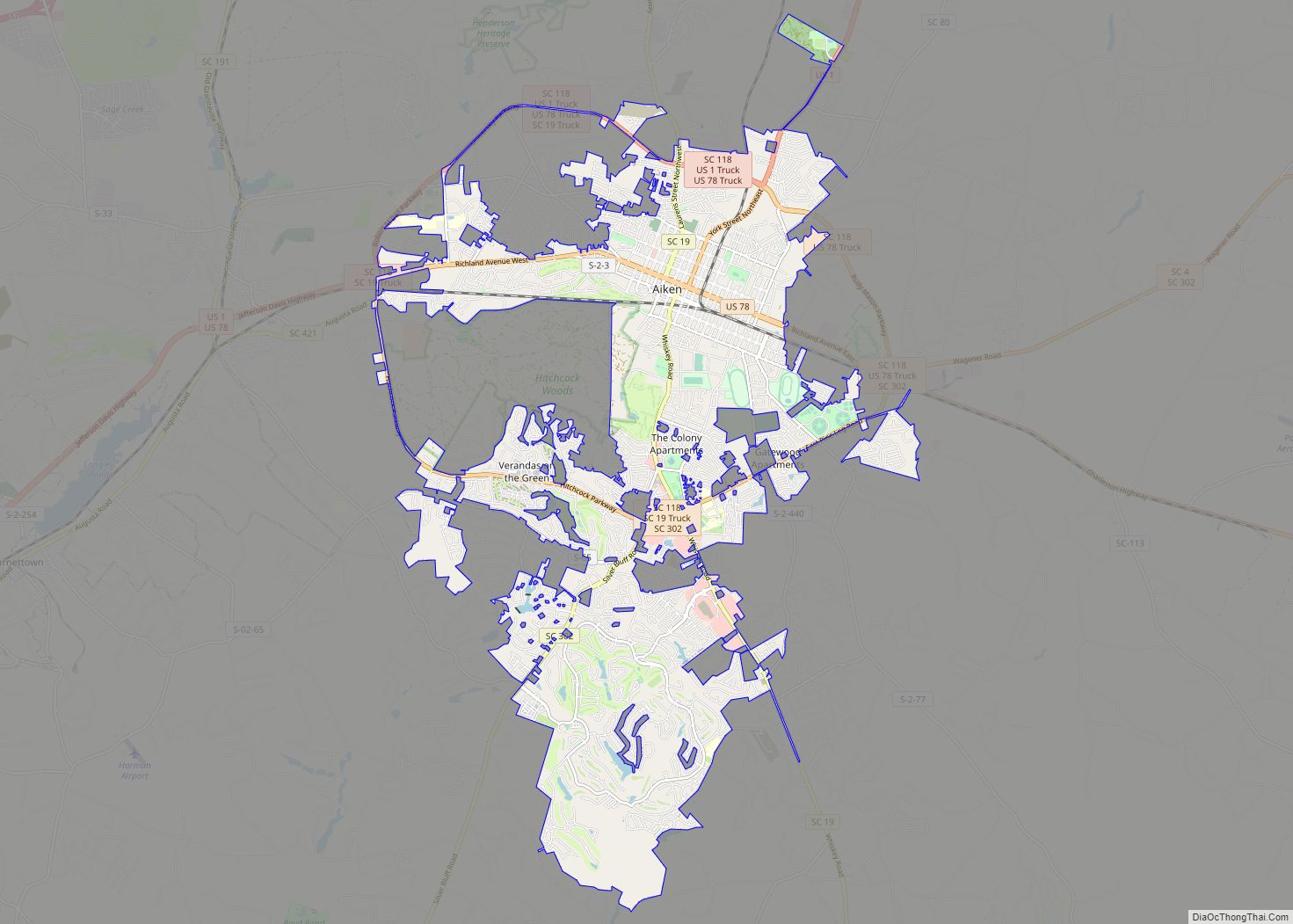
| Seat: | Aiken |
| Largest city: | Aiken |
| Total Area: | 1,081 sq mi (2,800 km²) |
| Land Area: | 1,071 sq mi (2,770 km²) |
| Total Population: | 170,776 |
| Population Density: | 159.5/sq mi (61.6/km²) |
| Time zone: | UTC−5 (Eastern) |
| Summer Time Zone (DST): | UTC−4 (EDT) |
| Website: | www.aikencountysc.gov |
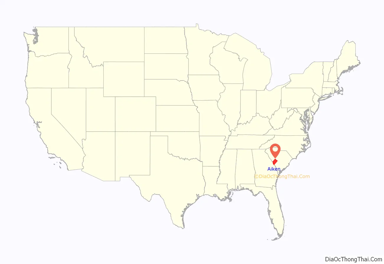
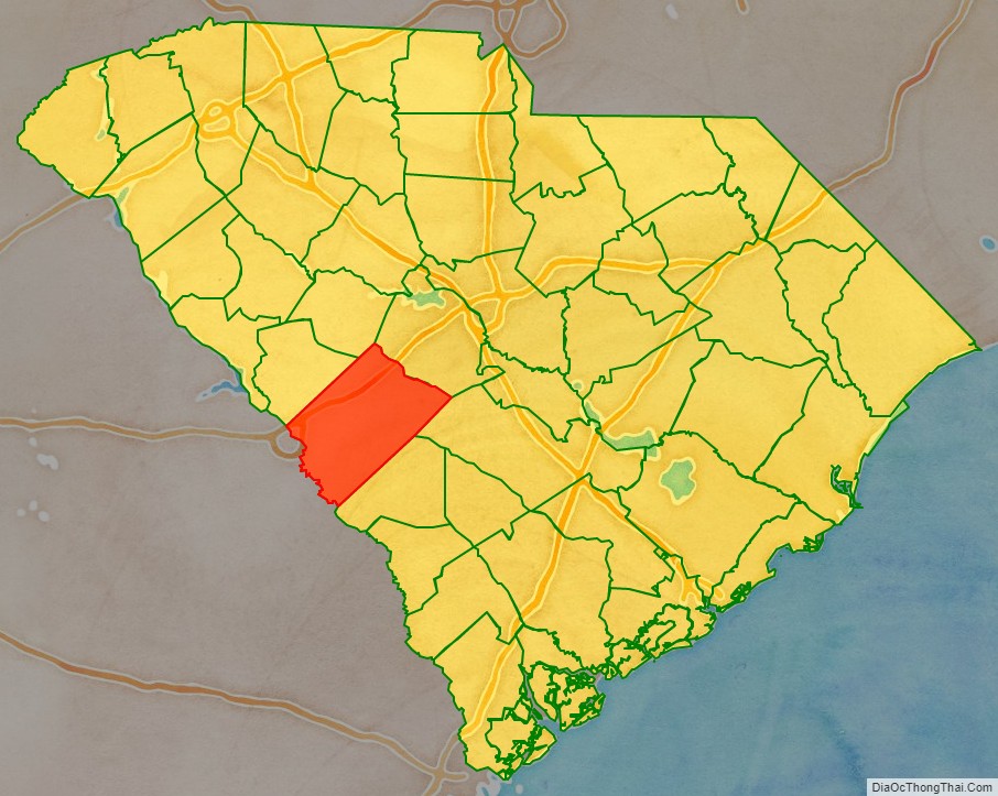
Aiken County location map. Where is Aiken County?
History
In the colonial era the area that is now Aiken County was part of Edgefield and Orangeburgh Districts. The majority of the population were immigrant farmers. Most of whom were from the rural parts of Lincolnshire, England; however, very few were from the town of Lincoln. Virtually all of the farmers from Lincolnshire came to the colony as indentured servants in the 1730s and 1740s. However, by the 1750s, almost all of the Lincolnshire settlers in what is now Aiken County were living on their own private land, almost exclusively engaging in subsistence agriculture on smallholding farms. Many immigrants also came from the rural eastern half of the English county of Nottinghamshire. Specifically, many indentured servants came from the towns of Newark-on-Trent, Winthorpe, Coddington, Balderton, Kelham and Farndon. A third group of English farmers settled in the colony, mostly arriving not as individual indentured servants but as entire family units, coming from the Derbyshire Dales region of the English county of Derbyshire; these settlers primarily originated in the three towns of Ashbourne, Bakewell and Matlock as well as the farm country surrounding these towns. These settlers also settled on lands in between the Savannah River in the west and the towns of Berlin and Jones Crossroads in the east, all arriving in what has since become Aiken County in the 1740s. A numerically smaller but influential migration came to what has since become Aiken County in the form of Presbyterian immigrants of Scottish ancestry who came from County Antrim and the northern portion of County Down in Ireland, as well as small numbers from the town of Kesh in County Fermanagh, Ireland. This population referred to themselves as “Ulstermen” and “Irish Presbyterians” but were known in the colonies as “Scots-Irish” settlers, though this was not a term they self-applied. They too arrived in the 1740s. The area that has since become Aiken County had a significantly high number of first generation British immigrants who fought for the Patriot cause in the revolutionary war.
Both Aiken County and its county seat of Aiken are named after William Aiken (1779–1831), the first president of the South Carolina Railroad Company. Aiken County was organized during the Reconstruction era in 1871 from portions of Barnwell, Edgefield, Lexington, and Orangeburg counties.
Prince Rivers, a freedman and state legislator from Edgefield County, had been a leader in the United States Colored Troops. He was named to head the commission that drew the new county’s boundary lines. He was dubbed “The Black Prince” by local newspapers, including the Edgefield Advertiser. He also led the commission that selected the site of Aiken County’s present-day courthouse. Other freedmen who were part of the founding of the county were Samuel J. Lee, speaker of the state House and the first black man admitted to the South Carolina Bar; and Charles D. Hayne, a free man of color from one of Charleston’s elite families.
Political tensions kept rising in South Carolina during the 1870s, especially around elections. In the months before the 1876 elections, Aiken County was one of the areas to suffer white paramilitary Red Shirts attacks and violence directed against black Republicans to suppress the black vote. Between the Hamburg Massacre in July and several days of rioting in September in Ellenton, more than 100 black men were killed by white paramilitary groups in this county. Two white men died in the violence.
In the late 19th century, the county became a popular winter refuge for affluent Northerners, who built luxury housing. The county remains popular with horse trainers and professional riders because mild winters allow lengthy training seasons.
In the 1950s, Aiken County (along with the nearby counties of Allendale and Barnwell) was chosen as the location for storage and production of nuclear materials and various fissile materials, now known as the Savannah River Site. Ellenton, South Carolina was acquired and its buildings demolished for its development of this plant. Its residents and businesses were moved north about eight miles to New Ellenton, and about 5 miles south to the town of Jackson just outside the entrance to the Savannah River Site, Developed during Cold War tensions, the facility is scheduled for decommissioning of various parts of the site.
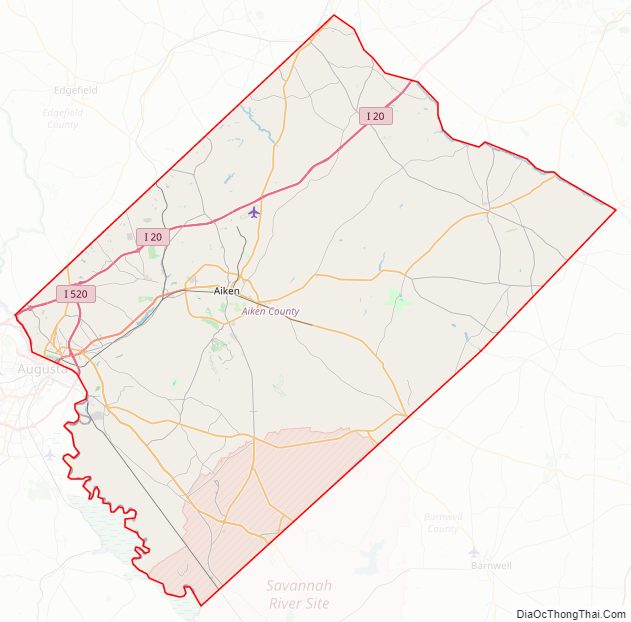
Aiken County Road Map
Geography
According to the U.S. Census Bureau, the county has a total area of 1,081 square miles (2,800 km), of which 1,071 square miles (2,770 km) is land and 9.6 square miles (25 km) (0.9%) is water. It is the fourth-largest county in South Carolina by land area.
State and local protected areas/sites
- Aiken Gopher Tortoise Heritage Preserve/Wildlife Management Area
- Aiken State Park
- Audubon’s Silver Bluff Center and Sanctuary
- Britton Mims Place
- Battle of Aiken
- Graniteville Historic District
- Henderson Heritage Preserve/ Wildlife Management Area
- Redcliffe Plantation State Historic Site
- Vaucluse Mill Village Historic District
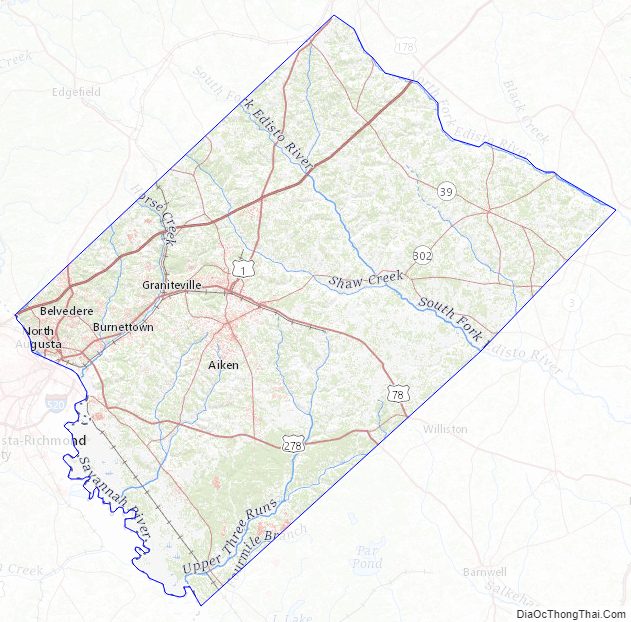
Major water bodies
- Bridge Creek
- Morris Lake
- North Fork Edisto River
- South Fork Edisto River
- Savannah River
- Shaw Creek
Adjacent counties
- Saluda County – north
- Lexington County – northeast
- Orangeburg County – east
- Barnwell County – south
- Burke County, Georgia – southwest
- Edgefield County – west
- Richmond County, Georgia – west
Major highways
- I-20
- I-520
- US 1
- US 1 Truck
- US 25
- US 25 Bus.
- US 25 Conn.
- US 78
- US 78 Truck
- US 278
- SC 4
- SC 4 Truck
- SC 5
- SC 19
- SC 19 Conn.
- SC 19 Truck
- SC 34
- SC 39
- SC 39 Conn.
- SC 73
- SC 121
- SC 125
- SC 125 Conn.
- SC 125 Truck
- SC 191
- SC 230
- SC 302
- SC 394
Major infrastructure
- Aiken Regional Airport
- Harman Airport (SC20)
- Savannah River Site (part)
Aiken County Topographic Map
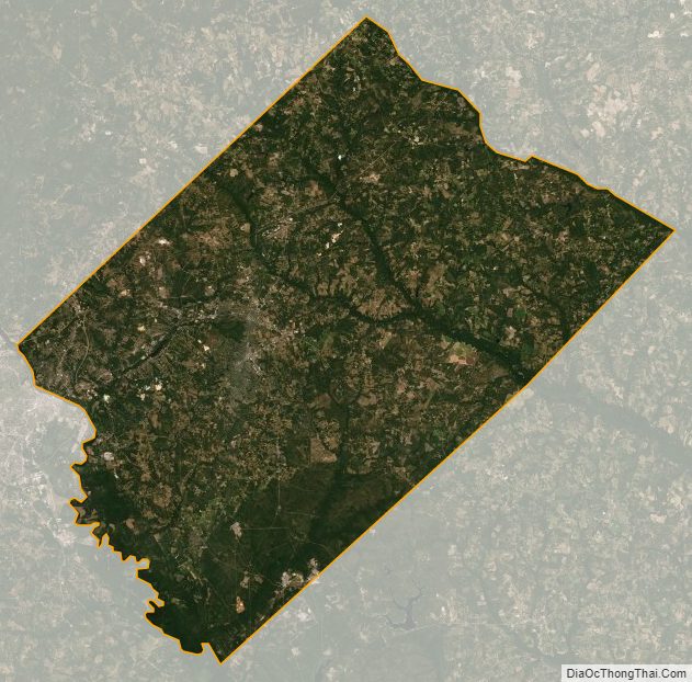
Aiken County Satellite Map
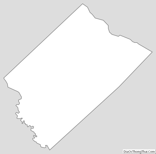
Aiken County Outline Map