Lipscomb County (/ˈlɪpskəm/ LIP-skəm) is a county located in the U.S. state of Texas. As of the 2020 census, its population was 3,059. Its county seat is Lipscomb. The county was created in 1876 and organized in 1887. It is named for Judge Abner Smith Lipscomb, a secretary of state of the Republic of Texas.
| Name: | Lipscomb County |
|---|---|
| FIPS code: | 48-295 |
| State: | Texas |
| Founded: | 1887 |
| Named for: | Abner Smith Lipscomb |
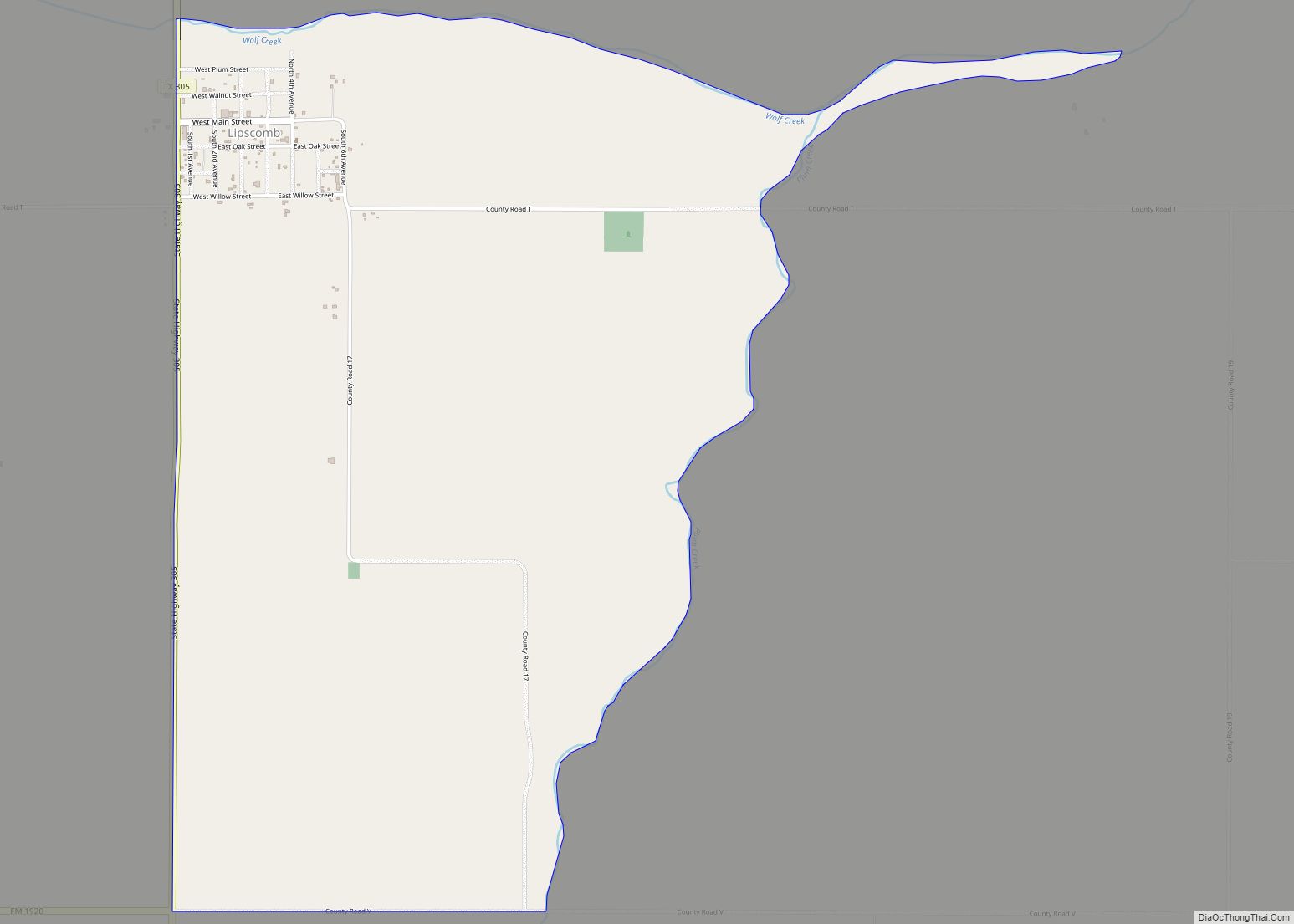
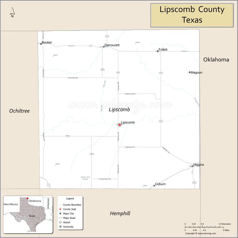
| Seat: | Lipscomb |
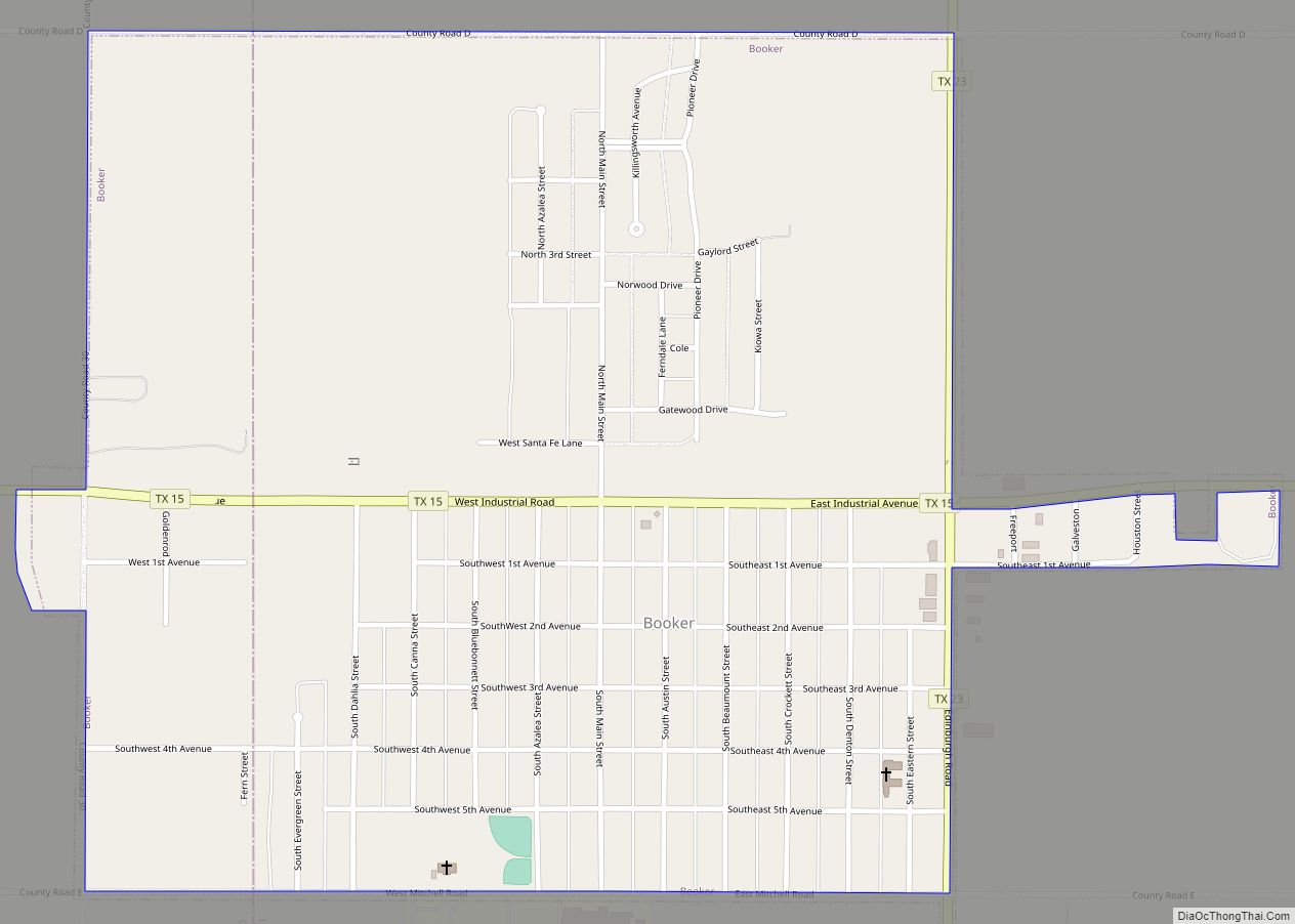
| Largest town: | Booker |
| Total Area: | 932 sq mi (2,410 km²) |
| Land Area: | 932 sq mi (2,410 km²) |
| Total Population: | 3,059 |
| Population Density: | 3.3/sq mi (1.3/km²) |
| Time zone: | UTC−6 (Central) |
| Summer Time Zone (DST): | UTC−5 (CDT) |
| Website: | www.co.lipscomb.tx.us |
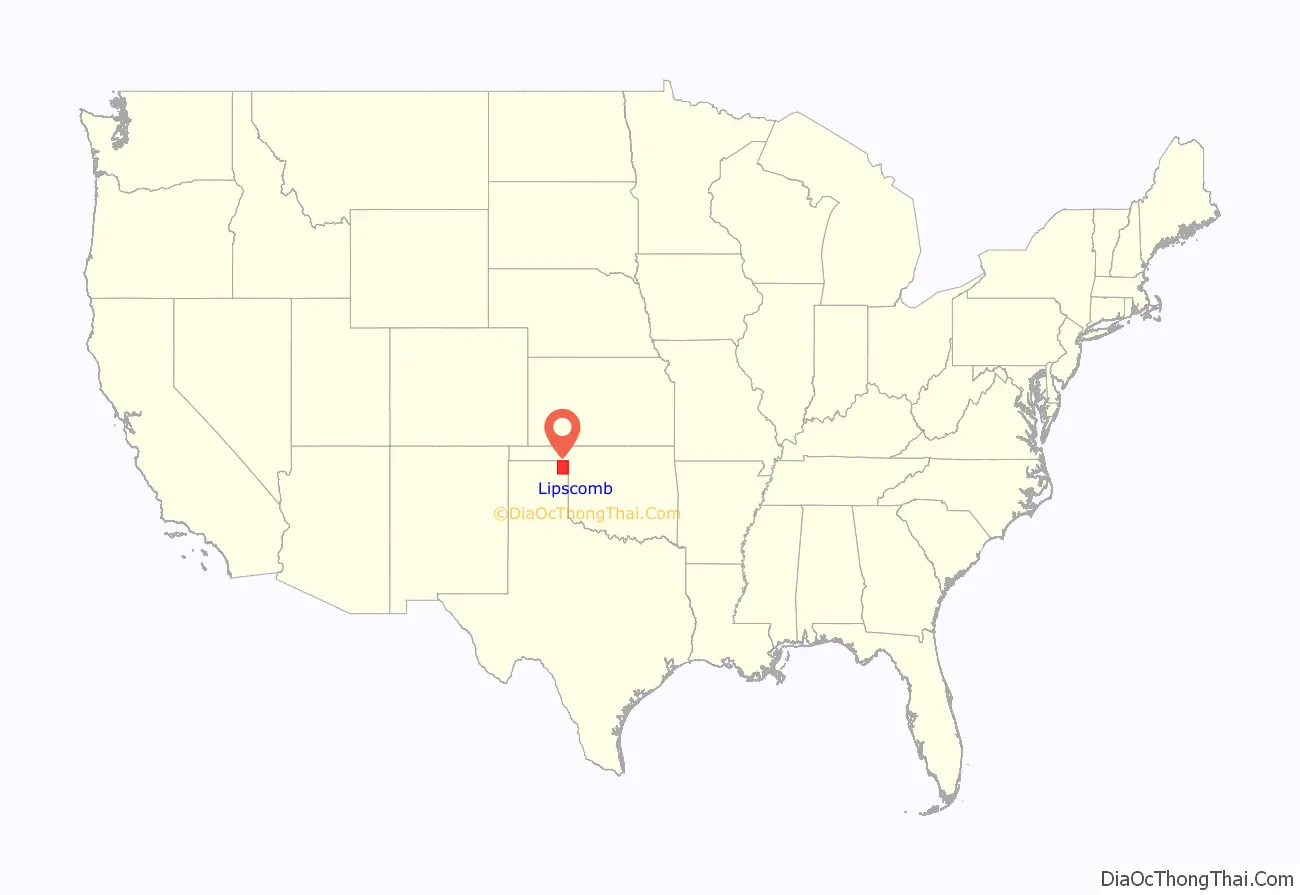
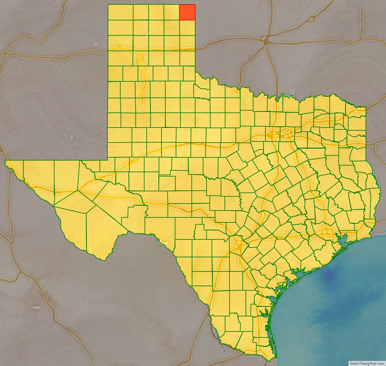
Lipscomb County location map. Where is Lipscomb County?
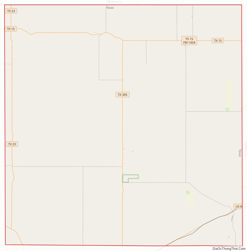
Lipscomb County Road Map
Geography
According to the U.S. Census Bureau, the county has a total area of 932 sq mi (2,410 km), almost all of which are land and 0.1 sq mi (0.26 km) (0.01%) is covered by water.
Major highways
- U.S. Highway 60
- U.S. Highway 83
- State Highway 15
- State Highway 23
- State Highway 213
- State Highway 305
Adjacent counties
- Beaver County, Oklahoma (north)
- Ellis County, Oklahoma (east)
- Hemphill County (south)
- Roberts County (southwest)
- Ochiltree County (west)
Lipscomb County Topographic Map
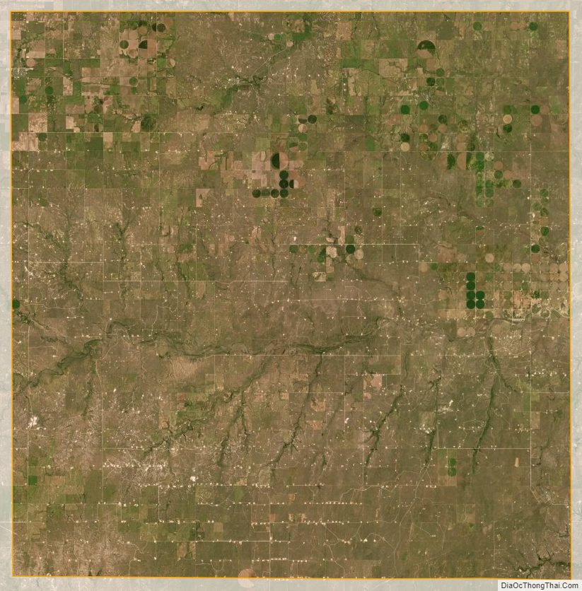
Lipscomb County Satellite Map
Lipscomb County Outline Map