| Name: | Ochiltree County |
|---|---|
| FIPS code: | 48-357 |
| State: | Texas |
| Founded: | 1889 |
| Named for: | W. B. Ochiltree |
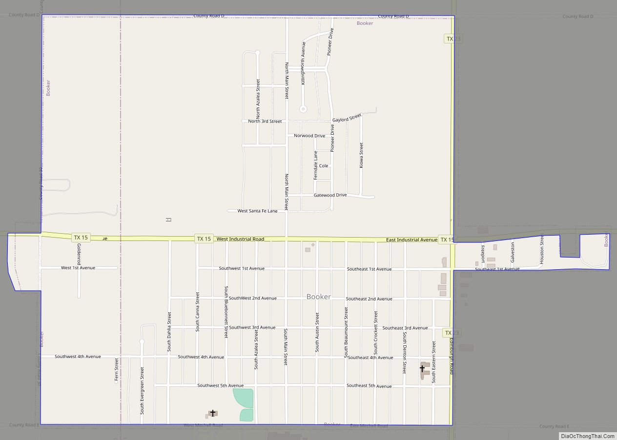
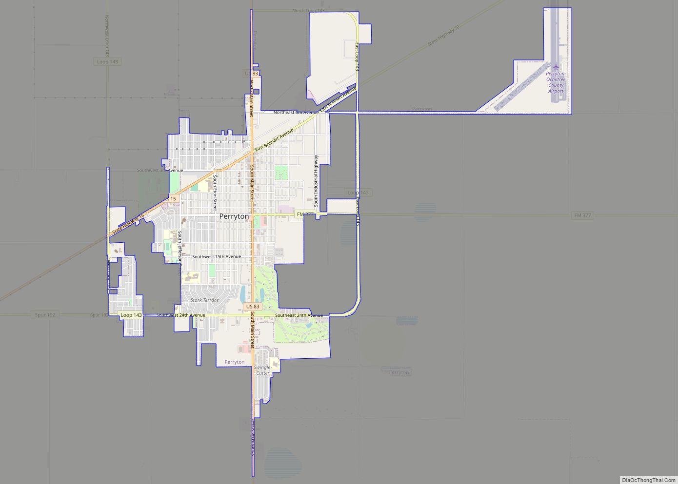
| Seat: | Perryton |
| Largest city: | Perryton |
| Total Area: | 918 sq mi (2,380 km²) |
| Land Area: | 918 sq mi (2,380 km²) |
| Total Population: | 10,015 |
| Population Density: | 11/sq mi (4.2/km²) |
| Time zone: | UTC−6 (Central) |
| Summer Time Zone (DST): | UTC−5 (CDT) |
| Website: | www.co.ochiltree.tx.us |
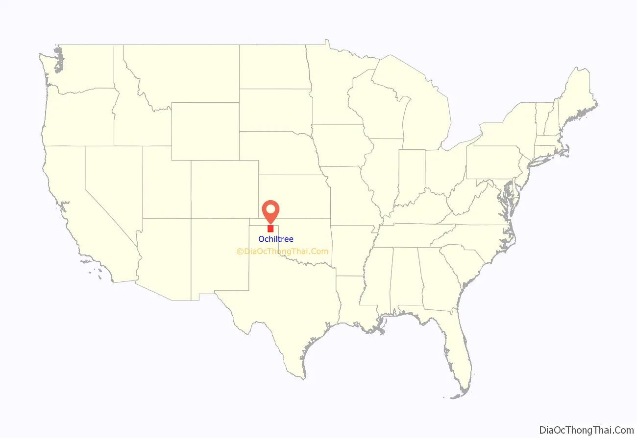
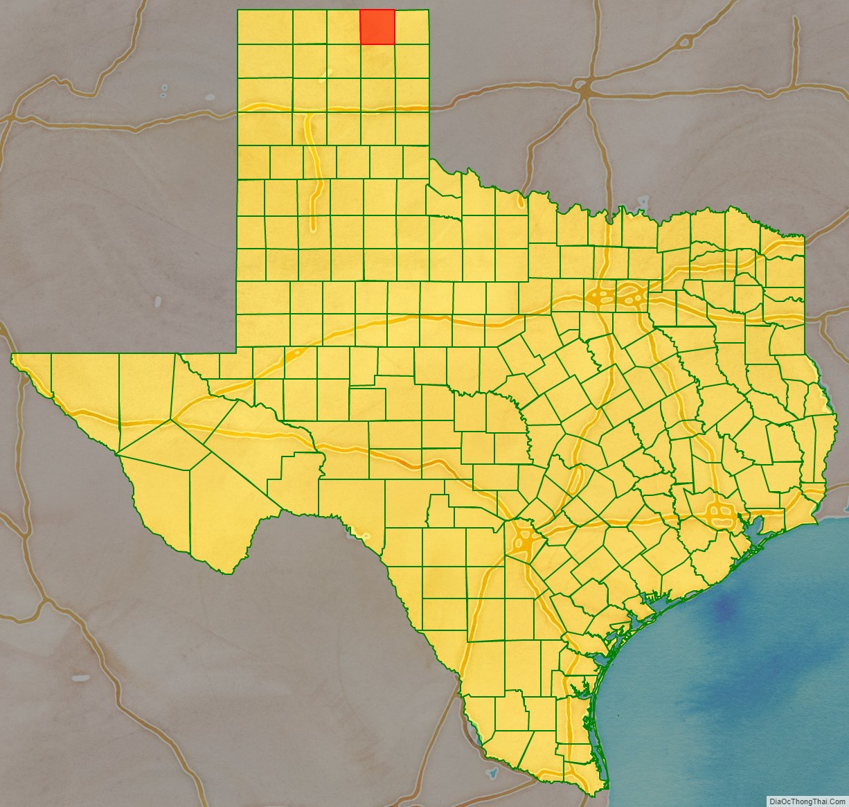
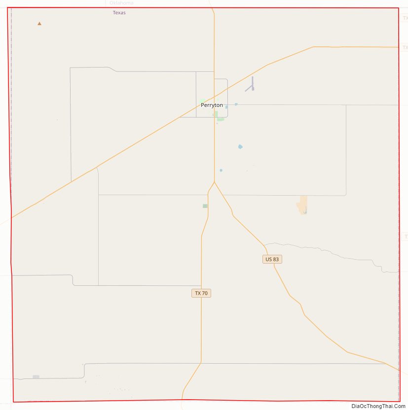
Ochiltree County location map. Where is Ochiltree County?
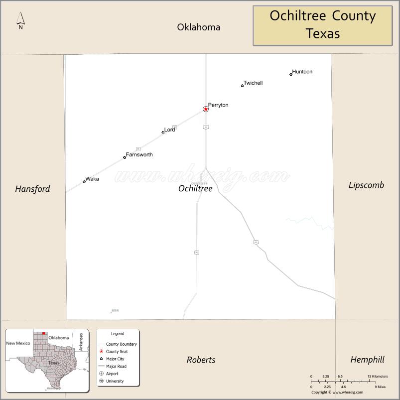
Ochiltree County Road Map
Geography
According to the U.S. Census Bureau, the county has a total area of 918 sq mi (2,380 km), almost all land, and 0.5 sq mi (1.3 km) (0.06%) is covered by water.
Major highways
- U.S. Highway 83
- State Highway 15
- State Highway 70
Adjacent counties
- Texas County, Oklahoma (north)
- Beaver County, Oklahoma (northeast)
- Lipscomb County (east)
- Roberts County (south)
- Hansford County (west)
- Hemphill County (southeast)
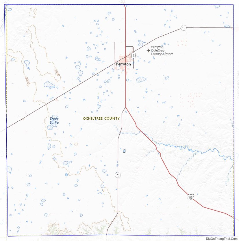
Ochiltree County Topographic Map
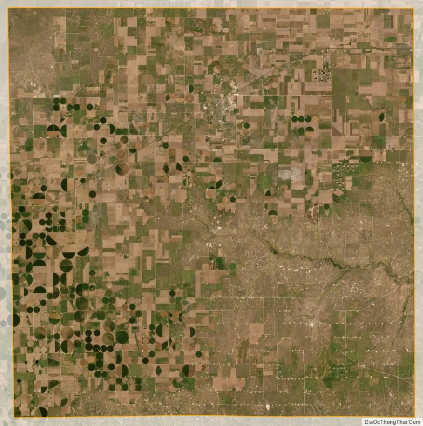
Ochiltree County Satellite Map
Ochiltree County Outline Map