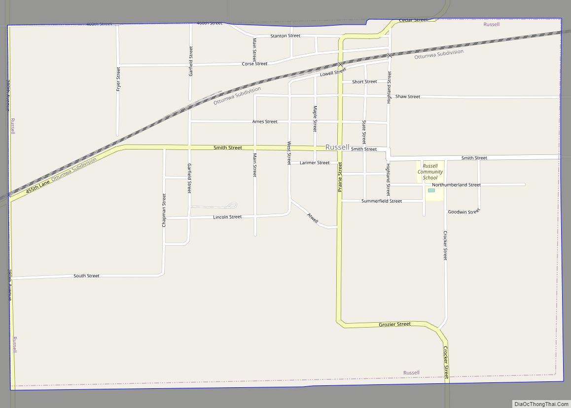
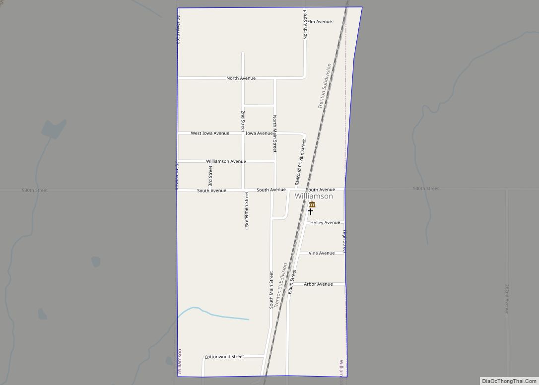
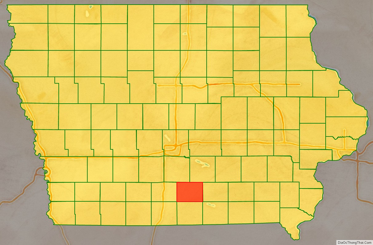
Lucas County is a county located in the U.S. state of Iowa. As of the 2020 census, the population was 8,634. The county seat is Chariton. The county was formed in 1846 and was named for Robert Lucas, a Governor of the Territory.
| Name: | Lucas County |
|---|---|
| FIPS code: | 19-117 |
| State: | Iowa |
| Founded: | 1846 |
| Named for: | Robert Lucas |
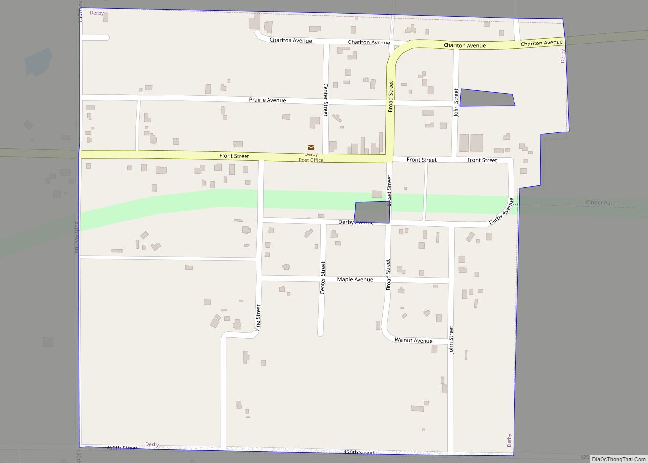
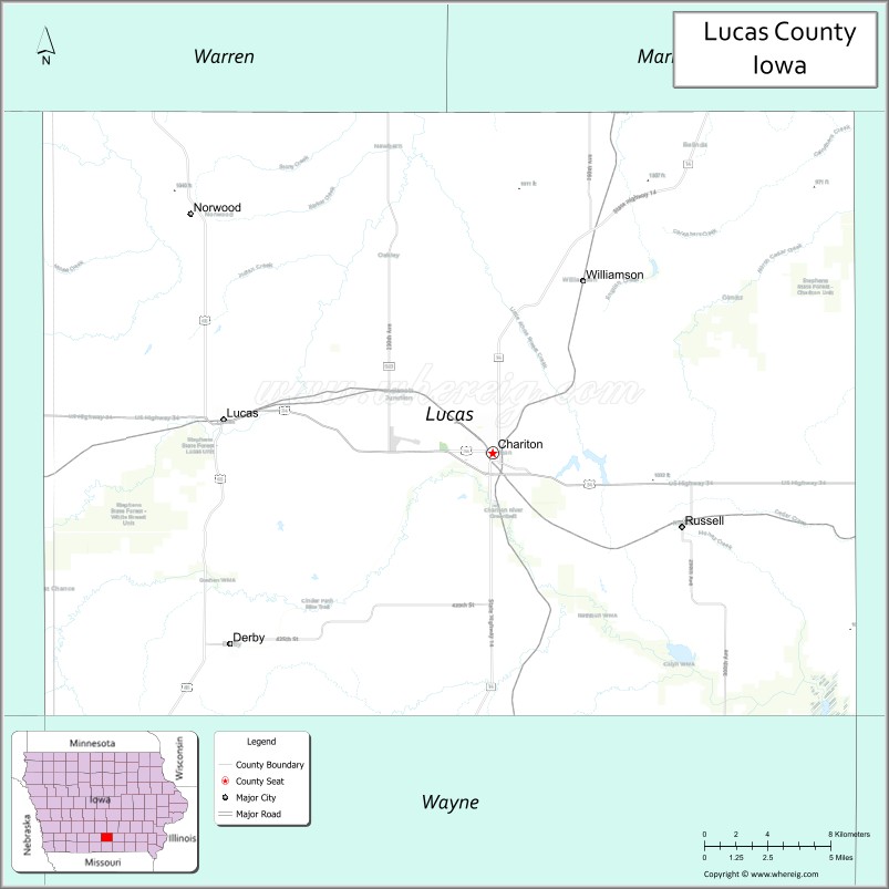
| Seat: | Chariton |
| Largest city: | Chariton |
| Total Area: | 434 sq mi (1,120 km²) |
| Land Area: | 431 sq mi (1,120 km²) |
| Total Population: | 8,634 |
| Population Density: | 20/sq mi (7.7/km²) |
| Time zone: | UTC−6 (Central) |
| Summer Time Zone (DST): | UTC−5 (CDT) |
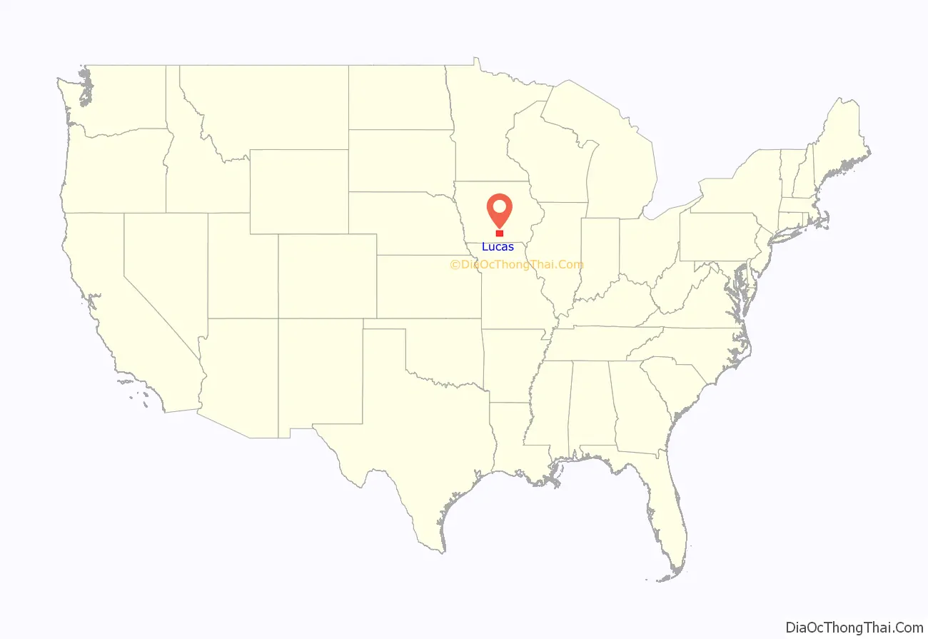
Lucas County location map. Where is Lucas County?
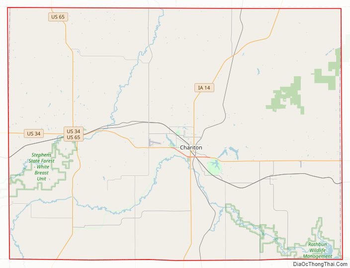
Lucas County Road Map
Geography
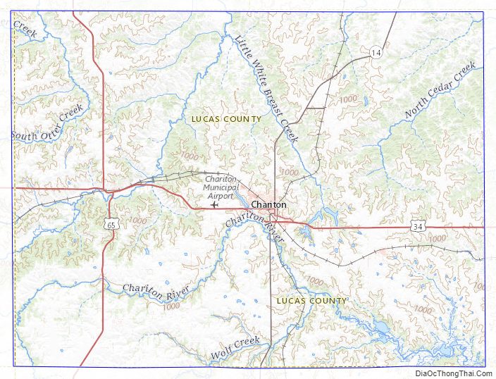
According to the U.S. Census Bureau, the county has a total area of 434 square miles (1,120 km), of which 431 square miles (1,120 km) is land and 3.8 square miles (9.8 km) (0.9%) is water.
Major highways
- U.S. Highway 34
- U.S. Highway 65
- Iowa Highway 14
Adjacent counties
- Warren County (northwest)
- Marion County (northeast)
- Monroe County (east)
- Wayne County (south)
- Clarke County (west)
Lucas County Topographic Map
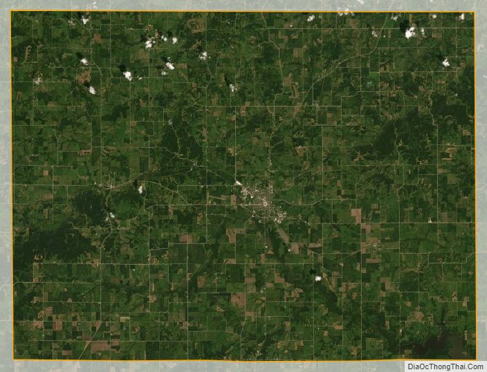
Lucas County Satellite Map
Lucas County Outline Map