Chariton is a city in, and the county seat of, Lucas County, Iowa, United States. The population was 4,193 at the 2020 census. Lucas is the primary distribution center for and the former corporate headquarters of the Hy-Vee supermarket chain.
| Name: | Chariton city |
|---|---|
| LSAD Code: | 25 |
| LSAD Description: | city (suffix) |
| State: | Iowa |
| County: | Lucas County |
| Elevation: | 1,040 ft (317 m) |
| Total Area: | 3.77 sq mi (9.76 km²) |
| Land Area: | 3.77 sq mi (9.76 km²) |
| Water Area: | 0.00 sq mi (0.00 km²) |
| Total Population: | 4,193 |
| Population Density: | 1,112.79/sq mi (429.61/km²) |
| ZIP code: | 50049 |
| Area code: | 641 |
| FIPS code: | 1912720 |
| GNISfeature ID: | 0455350 |
| Website: | www.chariton.org |
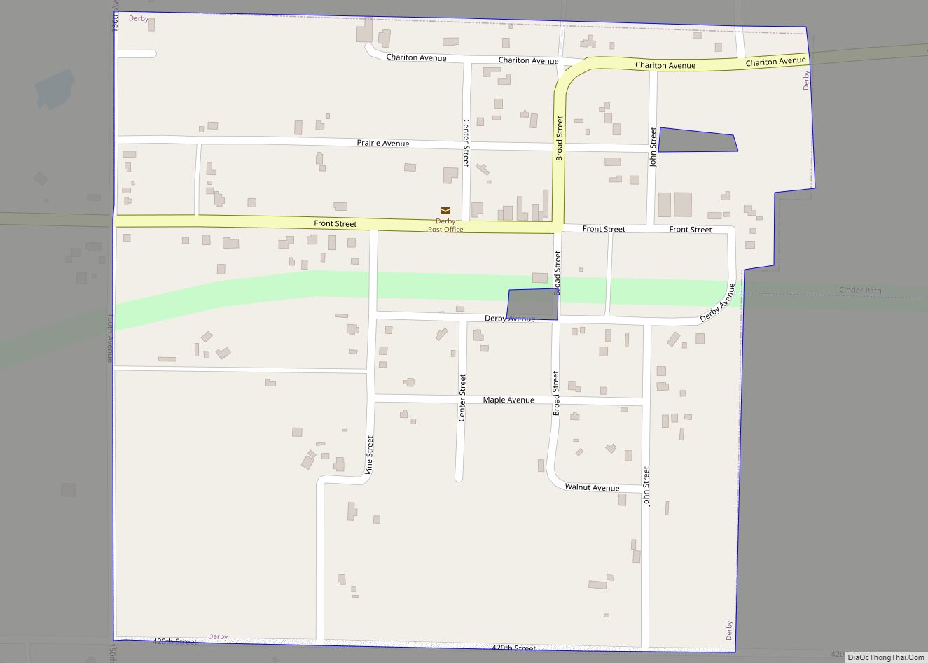
Online Interactive Map
Click on ![]() to view map in "full screen" mode.
to view map in "full screen" mode.
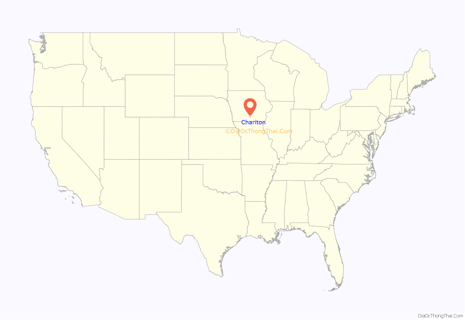
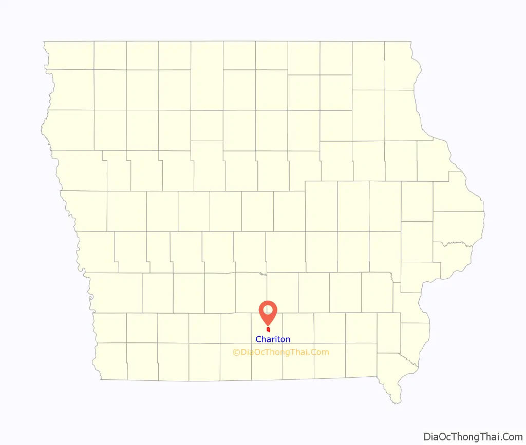
Chariton location map. Where is Chariton city?
History
Chariton was platted in 1850. Chariton was the name of a French trader.
Hotel Charitone
Designed by local architect William L. Perkins and listed on the National Register of Historic Places for its role in the development of Chariton as a county seat, the Hotel Charitone is listed by the Iowa Historic Preservation Alliance as one of the most endangered sites in Iowa. The hotel is currently undergoing restoration with the majority of the hotel being converted into apartments.
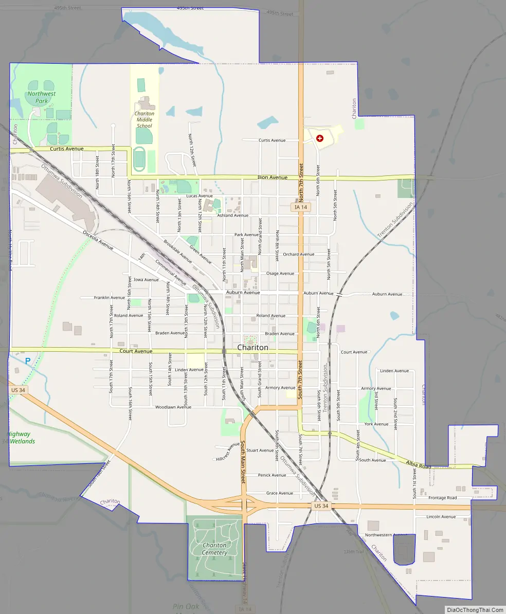
Chariton Road Map
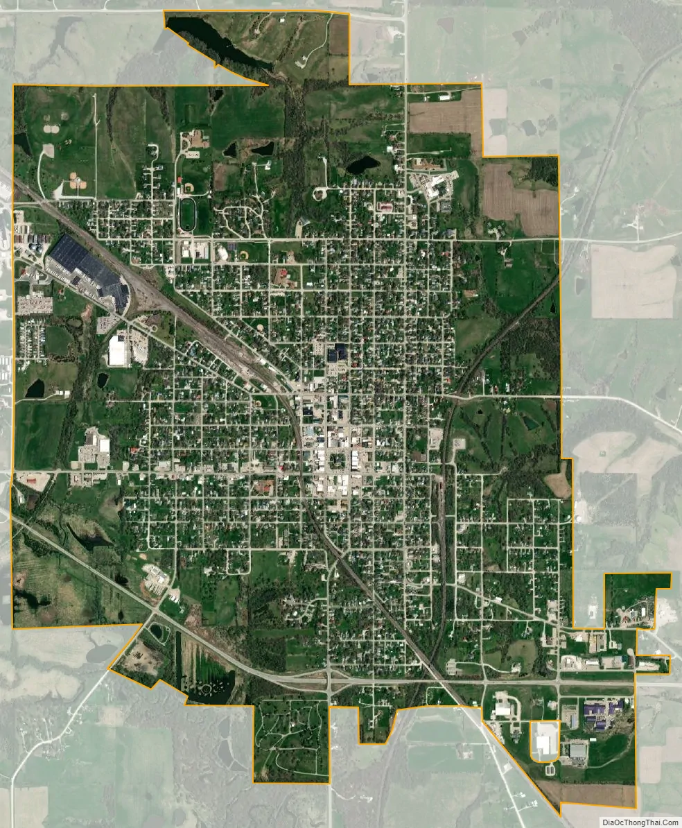
Chariton city Satellite Map
Geography
According to the United States Census Bureau, the city has a total area of 3.82 square miles (9.89 km), all land.
The Lucas County Courthouse is the highest point of elevation in the whole town.
See also
Map of Iowa State and its subdivision:- Adair
- Adams
- Allamakee
- Appanoose
- Audubon
- Benton
- Black Hawk
- Boone
- Bremer
- Buchanan
- Buena Vista
- Butler
- Calhoun
- Carroll
- Cass
- Cedar
- Cerro Gordo
- Cherokee
- Chickasaw
- Clarke
- Clay
- Clayton
- Clinton
- Crawford
- Dallas
- Davis
- Decatur
- Delaware
- Des Moines
- Dickinson
- Dubuque
- Emmet
- Fayette
- Floyd
- Franklin
- Fremont
- Greene
- Grundy
- Guthrie
- Hamilton
- Hancock
- Hardin
- Harrison
- Henry
- Howard
- Humboldt
- Ida
- Iowa
- Jackson
- Jasper
- Jefferson
- Johnson
- Jones
- Keokuk
- Kossuth
- Lee
- Linn
- Louisa
- Lucas
- Lyon
- Madison
- Mahaska
- Marion
- Marshall
- Mills
- Mitchell
- Monona
- Monroe
- Montgomery
- Muscatine
- O'Brien
- Osceola
- Page
- Palo Alto
- Plymouth
- Pocahontas
- Polk
- Pottawattamie
- Poweshiek
- Ringgold
- Sac
- Scott
- Shelby
- Sioux
- Story
- Tama
- Taylor
- Union
- Van Buren
- Wapello
- Warren
- Washington
- Wayne
- Webster
- Winnebago
- Winneshiek
- Woodbury
- Worth
- Wright
- Alabama
- Alaska
- Arizona
- Arkansas
- California
- Colorado
- Connecticut
- Delaware
- District of Columbia
- Florida
- Georgia
- Hawaii
- Idaho
- Illinois
- Indiana
- Iowa
- Kansas
- Kentucky
- Louisiana
- Maine
- Maryland
- Massachusetts
- Michigan
- Minnesota
- Mississippi
- Missouri
- Montana
- Nebraska
- Nevada
- New Hampshire
- New Jersey
- New Mexico
- New York
- North Carolina
- North Dakota
- Ohio
- Oklahoma
- Oregon
- Pennsylvania
- Rhode Island
- South Carolina
- South Dakota
- Tennessee
- Texas
- Utah
- Vermont
- Virginia
- Washington
- West Virginia
- Wisconsin
- Wyoming