Mahnomen County (/məˈnoʊmən/ mə-NOH-mən) is a county in the U.S. state of Minnesota. As of the 2020 census, the population was 5,411. Its county seat is Mahnomen.
The county is part of the White Earth Indian Reservation. It is the only county in Minnesota entirely within an Indian reservation. Mahnomen, East Polk, and Becker counties constitute one of northwestern Minnesota’s biggest cattle-raising areas.
| Name: | Mahnomen County |
|---|---|
| FIPS code: | 27-087 |
| State: | Minnesota |
| Founded: | December 27, 1906 |
| Named for: | Ojibway word for wild rice |
| Seat: | Mahnomen |
| Largest city: | Mahnomen |
| Total Area: | 583 sq mi (1,510 km²) |
| Land Area: | 558 sq mi (1,450 km²) |
| Total Population: | 5,411 |
| Population Density: | 9.7/sq mi (3.7/km²) |
| Time zone: | UTC−6 (Central) |
| Summer Time Zone (DST): | UTC−5 (CDT) |
| Website: | www.co.mahnomen.mn.us |
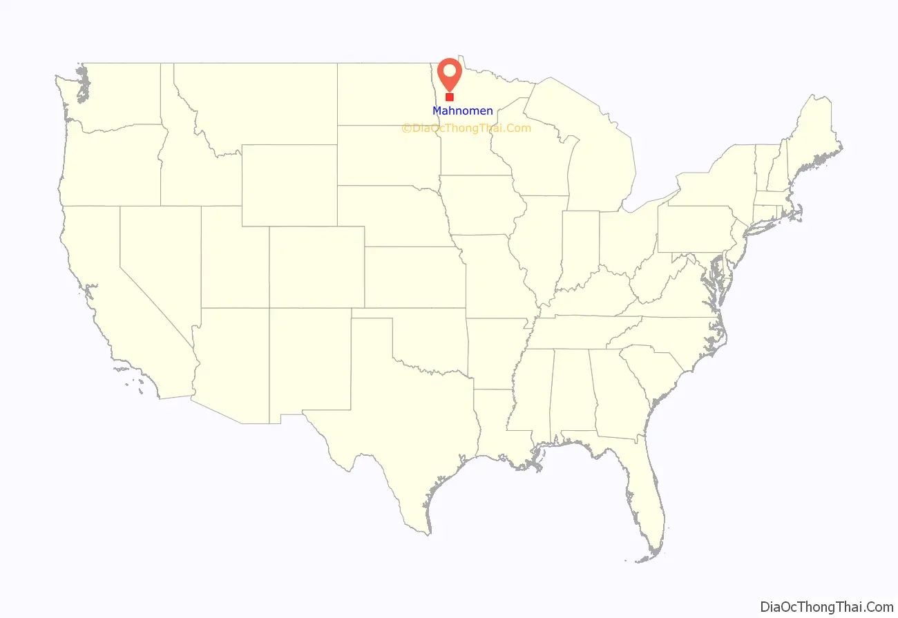
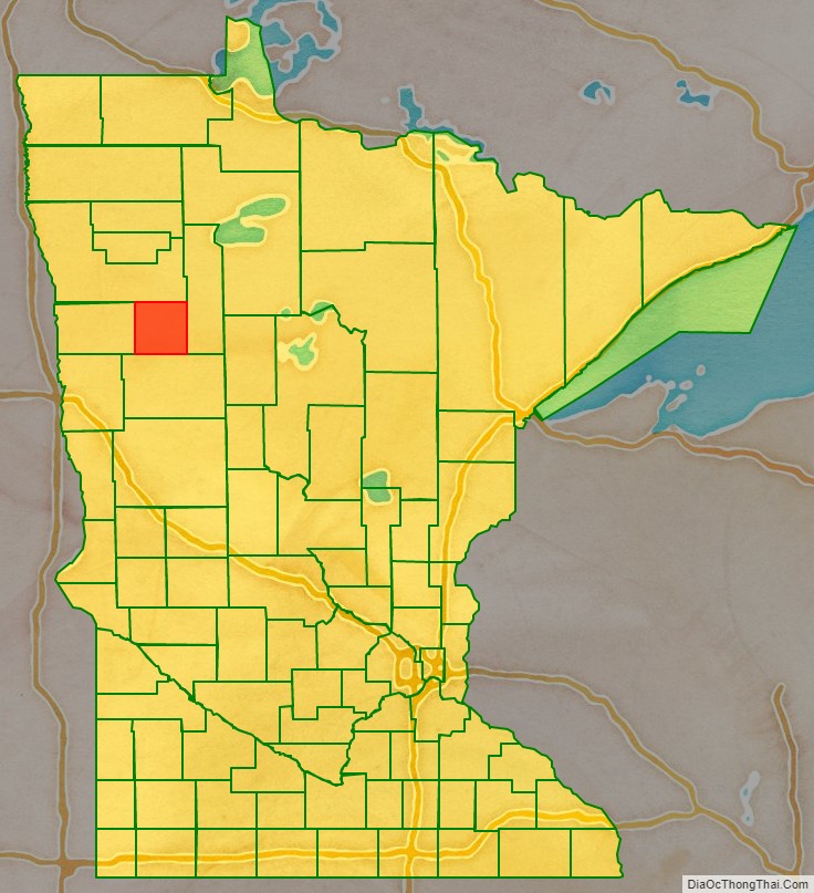
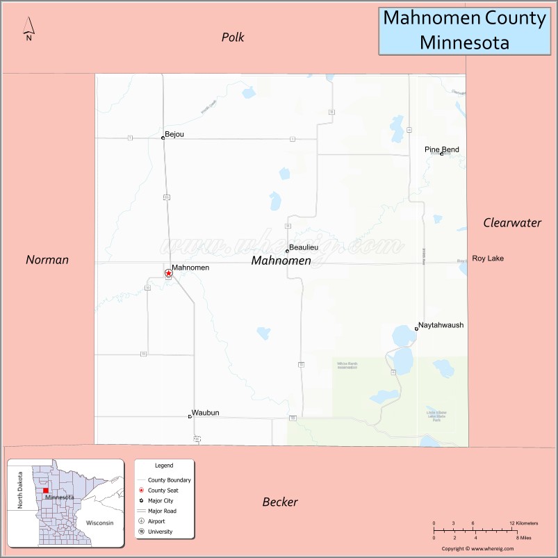
Mahnomen County location map. Where is Mahnomen County?
History
The county was created from the east half of Norman County on December 27, 1906, with Mahnomen, a former railway station town, as the county seat. The county was named for the town, the name of which is one spelling of the Ojibwe word for “wild rice”.
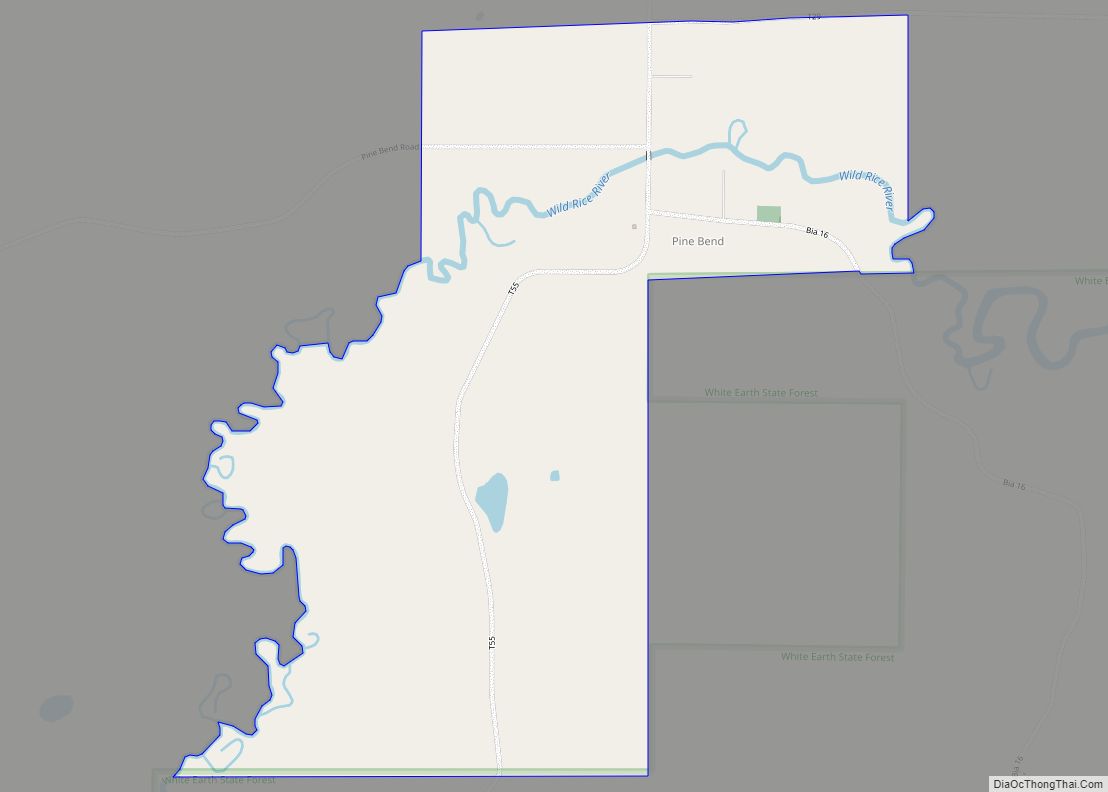
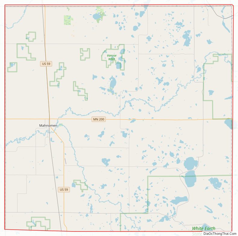
Mahnomen County Road Map
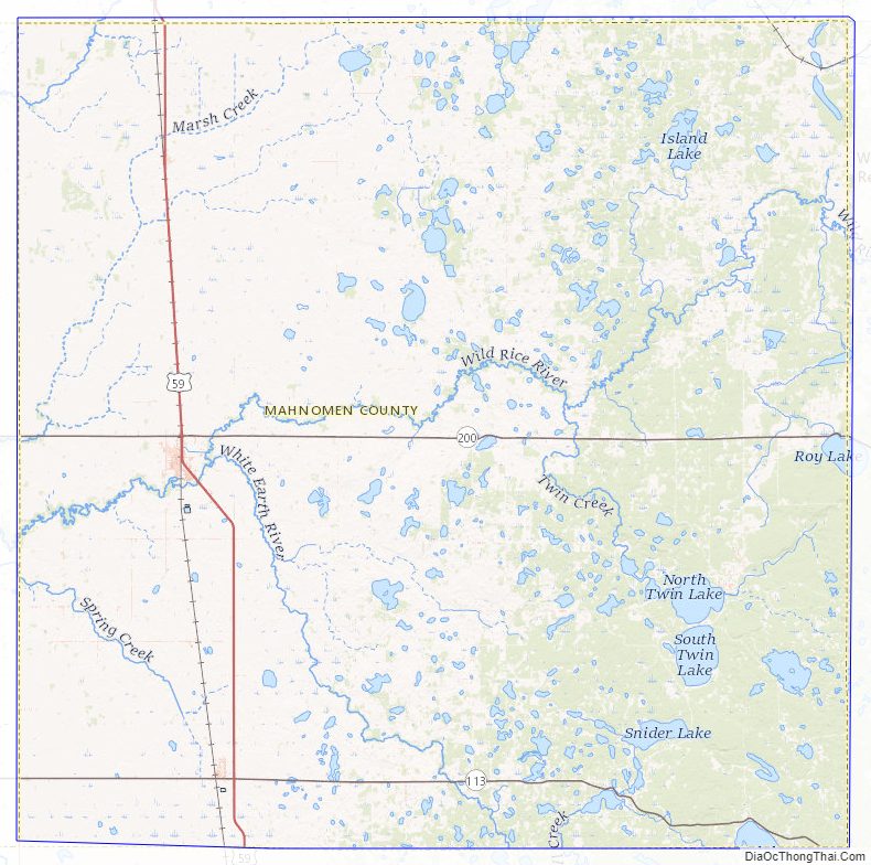
Geography
The Wild Rice River enters the county from Clearwater County and flows west through the central part of the county. The White Earth River originates from White Earth Lake on the county’s southern border and flows northwest to its confluence with the Wild Rice near Mahnomen. The county terrain consists of low rolling hills, carved with drainages. The eastern part of the county is dotted with lakes and ponds and largely wooded. All non-wooded areas are devoted to agriculture where possible. The county slopes to the west and north, with its highest point near the middle of the east border, at 1,825′ (556m) ASL. The county has an area of 583 square miles (1,510 km), of which 558 square miles (1,450 km) is land and 25 square miles (65 km) (4.3%) is water. Mahnomen is one of 17 Minnesota savanna region counties with more savanna soils than either prairie or forest soils.
Major highways
- U.S. Highway 59
- Minnesota State Highway 113
- Minnesota State Highway 200
Airports
- Mahnomen County Airport (3N8) – south of Mahnomen
Adjacent counties
- Polk County – north
- Clearwater County – east
- Becker County – south
- Norman County – west
Protected areas
- Beaulife State Wildlife Management Area
- Bejou State Wildlife Management Area
- Budde Meadow State Wildlife Management Area
- Dittmer State Wildlife Management Area
- Foot State Wildlife Management Area
- Hasselton State Wildlife Management Area (part)
- Loncrace State Wildlife Management Area
- Mahgre State Wildlife Management Area
- Rush Lake State Wildlife Management Area
- Santee Prairie Scientific and Natural Area
- Wambach State Wildlife Management Area
- Warren Lake State Wildlife Management Area
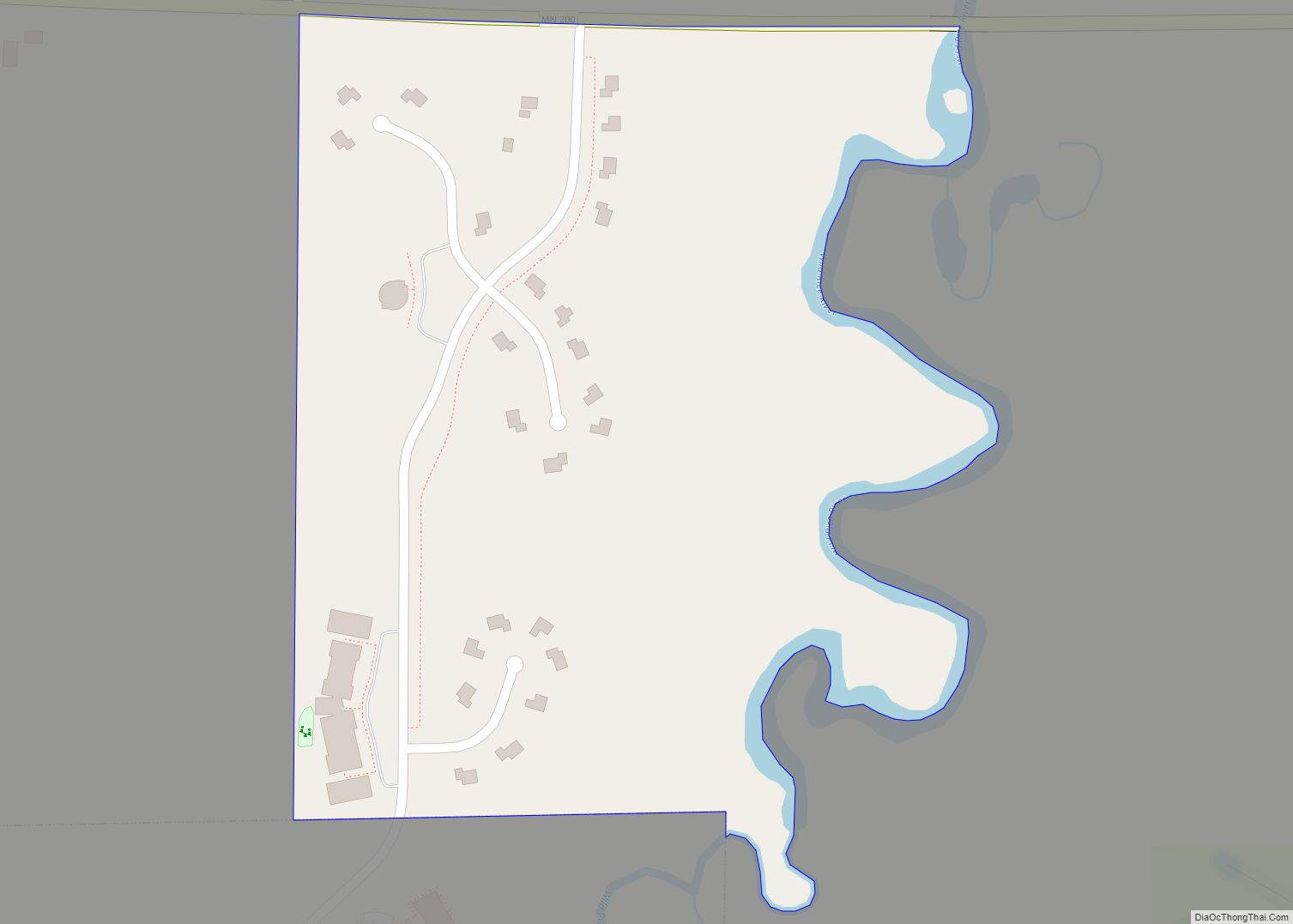
Mahnomen County Topographic Map
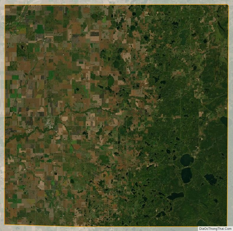
Mahnomen County Satellite Map
Mahnomen County Outline Map