Benton County is a county in the East Central part of the U.S. state of Minnesota. As of the 2020 census, the population was 41,379. Its county seat is Foley.
Benton County is part of the St. Cloud Metropolitan Statistical Area, which is also included in the Minneapolis-St. Paul Combined Statistical Area.
| Name: | Benton County |
|---|---|
| FIPS code: | 27-009 |
| State: | Minnesota |
| Founded: | 1849 |
| Named for: | Thomas Hart Benton |
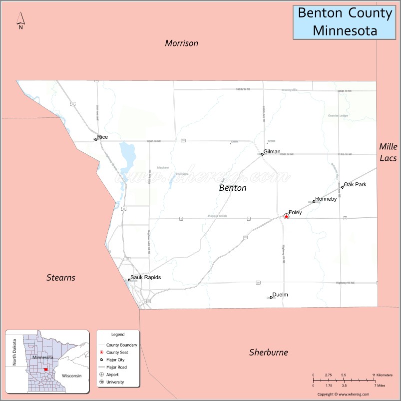
| Seat: | Foley |
| Largest city: | Sauk Rapids |
| Total Area: | 413 sq mi (1,070 km²) |
| Land Area: | 408 sq mi (1,060 km²) |
| Total Population: | 41,379 |
| Population Density: | 97.9/sq mi (37.8/km²) |
| Time zone: | UTC−6 (Central) |
| Summer Time Zone (DST): | UTC−5 (CDT) |
| Website: | www.co.benton.mn.us |
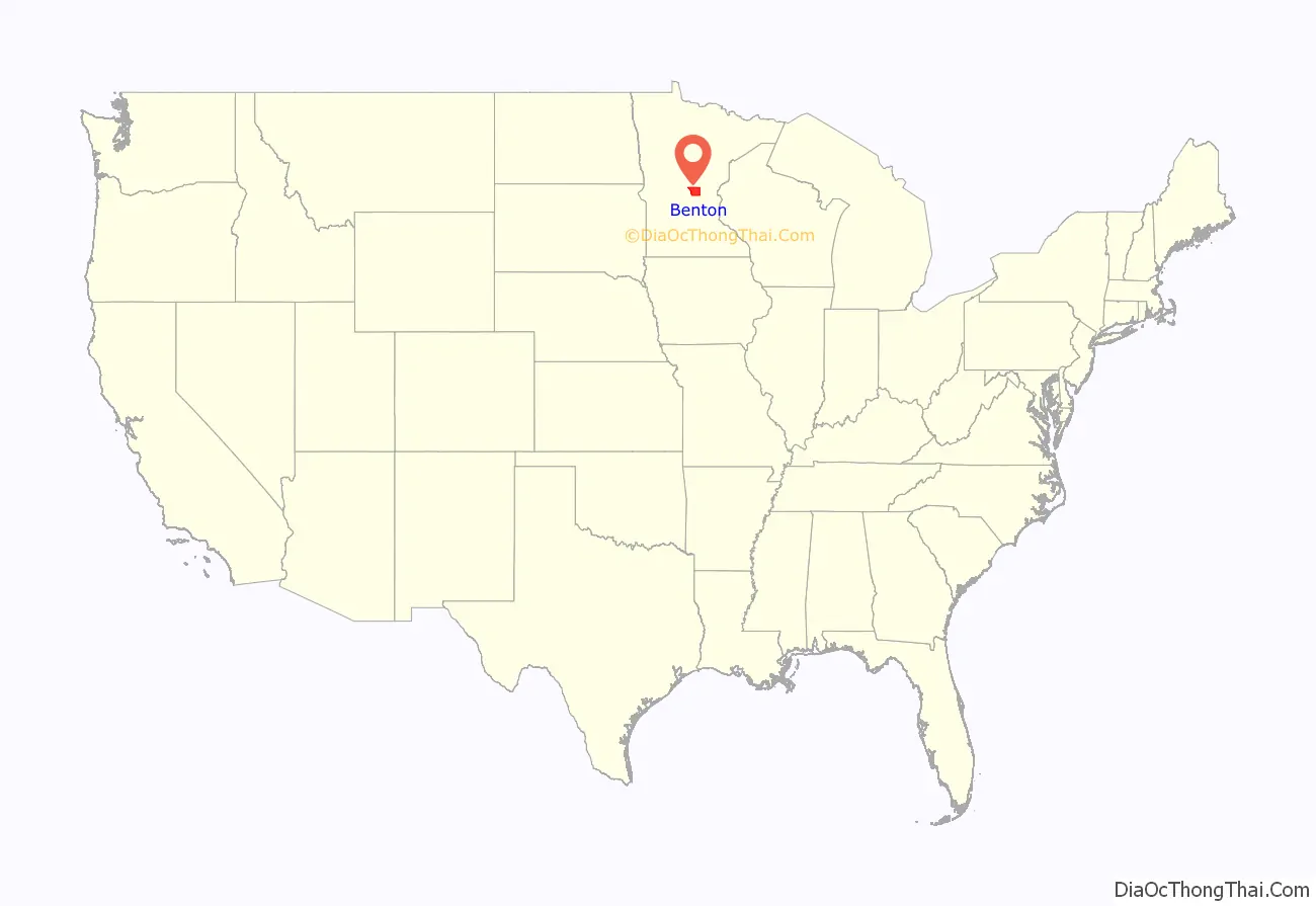
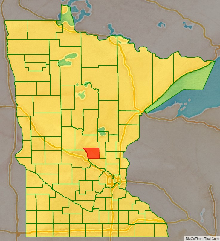
Benton County location map. Where is Benton County?
History
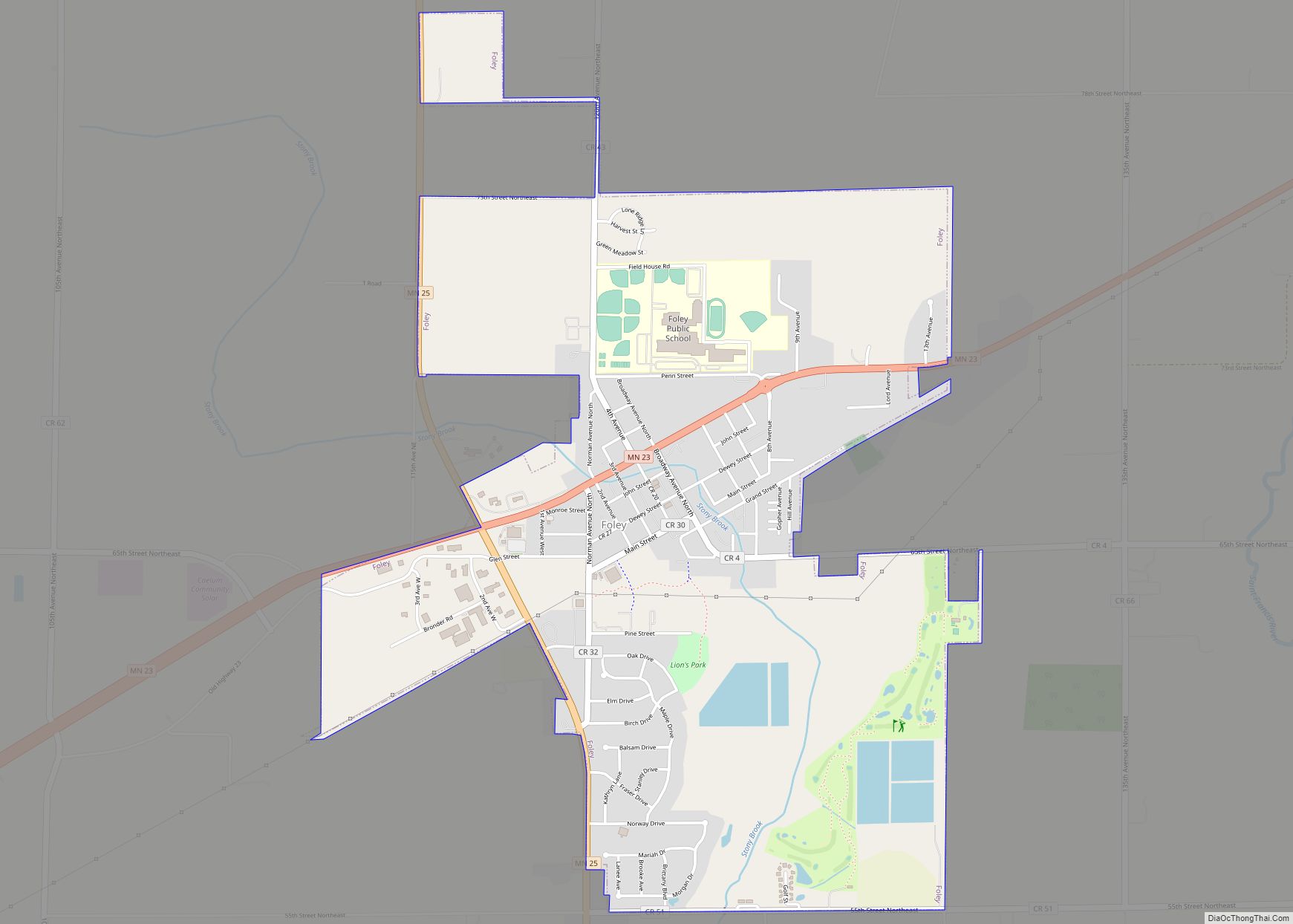
Established in 1849 and organized in 1850, the county is one of the oldest in Minnesota. It was named for Thomas Hart Benton, a United States Senator from Missouri. Its county seat for many years was Sauk Rapids, at the confluence of the Sauk and Mississippi Rivers. The county seat moved to Watab in 1856 and returned to Sauk Rapids in 1859. Sauk Rapids became the terminus of a railroad line in 1874, but was destroyed by a tornado in 1886. In 1897 the county seat moved to Foley, where it remains. As St. Cloud expanded into a metropolitan area, the northern part of Benton County became a suburb.
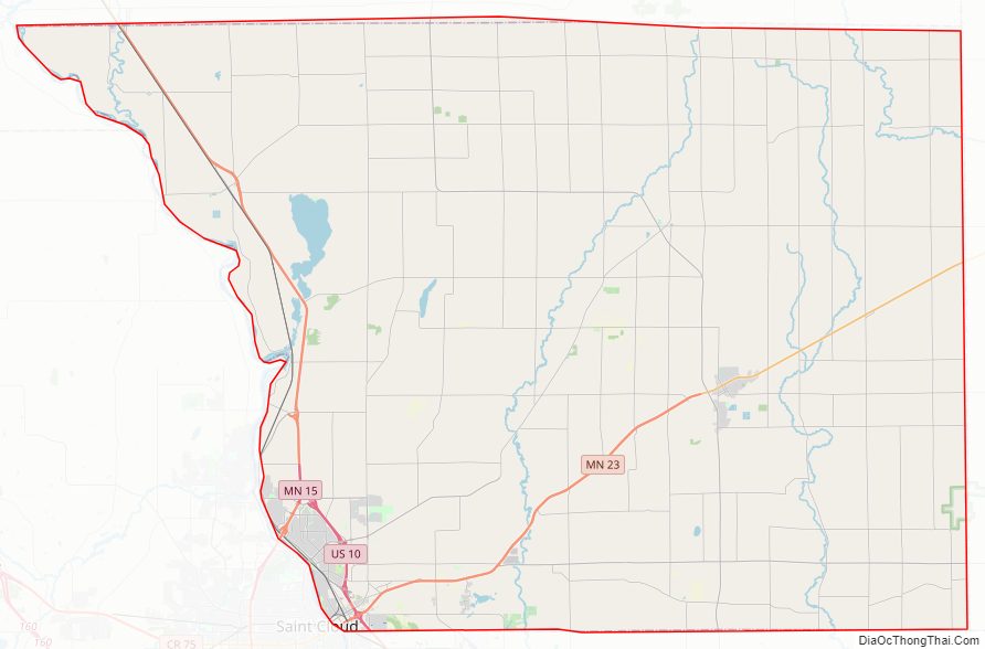
Benton County Road Map
Geography
The Mississippi River flows southeast along Benton County’s western border, and the Platte River flows south through the county’s northwest corner, discharging into the Mississippi at the county’s western border. The terrain consists of low rolling hills, wooded or devoted to agriculture. It generally slopes to the south and east, although its western portion slopes into the river valleys. The county’s highest point is a small hill near the midpoint of the northern border, 1 mi (1.6 km) north of Brennyville, at 1,311 ft (400 m) ASL. The county has a total area of 413 square miles (1,070 km), of which 408 square miles (1,060 km) is land and 4.8 square miles (12 km) (1.2%) is water. It is the fifth-smallest county in Minnesota by land area and fourth-smallest by total area.
Major highways
- U.S. Highway 10
- Minnesota State Highway 15
- Minnesota State Highway 23
- Minnesota State Highway 25
- Minnesota State Highway 95
Adjacent counties
- Mille Lacs – east
- Sherburne – south
- Stearns – west
- Morrison – north
Lakes
- Donovan Lake (part)
- Graham Lake
- Little Rock Lake
- Mayhew Lake
Protected areas
- Benlacs State Wildlife Management Area (part)
- Bibles State Wildlife Management Area
- Englund Ecotone Scientific and Natural Area
- Sartell State Wildlife Management Area
- Wisneski State Wildlife Management Area
Benton County Topographic Map
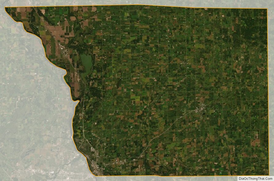
Benton County Satellite Map
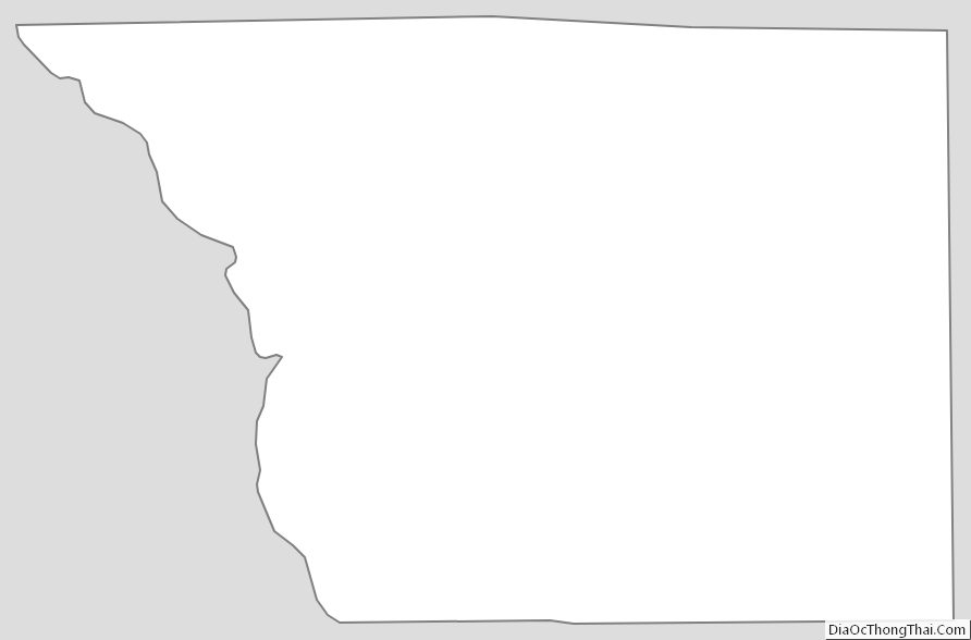
Benton County Outline Map