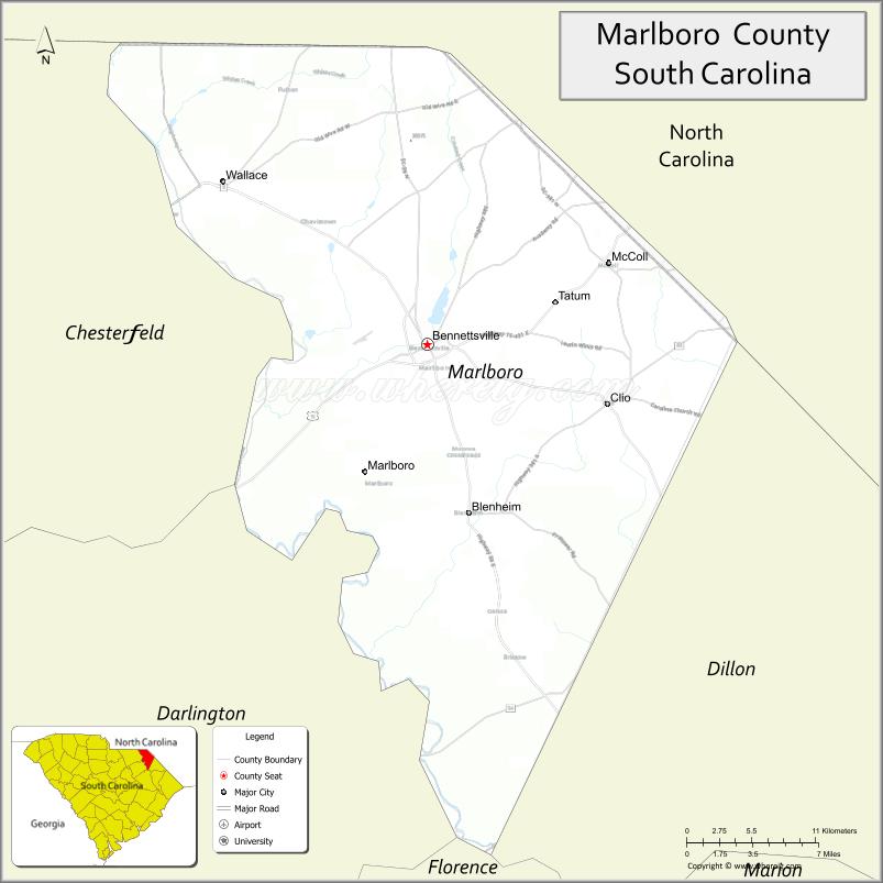
Marlboro County is a county located in the Pee Dee region on the northern border of the U.S. state of South Carolina. As of the 2020 census, its population was 26,667. Its county seat is Bennettsville. The Great Pee Dee River runs through it. Marlboro County comprises the Bennettsville, SC Micropolitan Statistical Area.
Marlboro County is home to the Pee Dee Indian Tribe. They are a relatively small American Indian tribe that has occupied the Pee Dee region for several centuries. The tribe was officially recognized by the Government of South Carolina around the beginning of the 21st Century, they have been seeking federal acknowledgment since 1976. While today the tribe consists of just over 200 enrolled members, they were once a significant cultural and political power in the region. Their profound influence and continual presence in the area is why the region bears the Pee Dee name. Since 1976, the tribe’s official seat of government has operated on land awarded to the tribe in Marlboro County.
| Name: | Marlboro County |
|---|---|
| FIPS code: | 45-069 |
| State: | South Carolina |
| Founded: | 1785 |
| Named for: | John Churchill, 1st Duke of Marlborough |
| Seat: | Bennettsville |
| Largest city: | Bennettsville |
| Total Area: | 485 sq mi (1,260 km²) |
| Land Area: | 480 sq mi (1,200 km²) |
| Total Population: | 26,667 |
| Population Density: | 55/sq mi (21/km²) |
| Time zone: | UTC−5 (Eastern) |
| Summer Time Zone (DST): | UTC−4 (EDT) |
| Website: | marlborocounty.sc.gov |
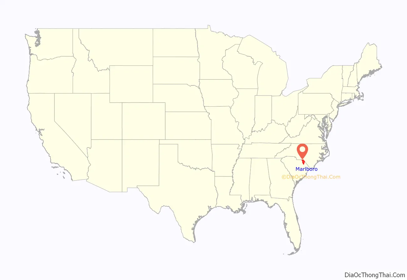
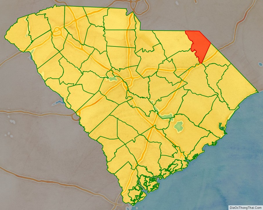
Marlboro County location map. Where is Marlboro County?
History
Succeeding indigenous peoples occupied this area for thousands of years. At the time of European encounter, the inhabitants of the area were the Pee Dee. Though nearly wiped out by European settlers, the Pee Dee Indian Tribe was able to survive centuries of war, disease, slavery and oppression, and has continued to maintain a presence in the area.
In the 1960s and early 1970s, researchers identified numerous sites in South Carolina and the Southeast that they associated with what they have classified as South Appalachian Mississippian culture. The settlements developed about AD 1000, later than did some of the largest settlements to the northwest that were closer to the Mississippi River and its tributaries.
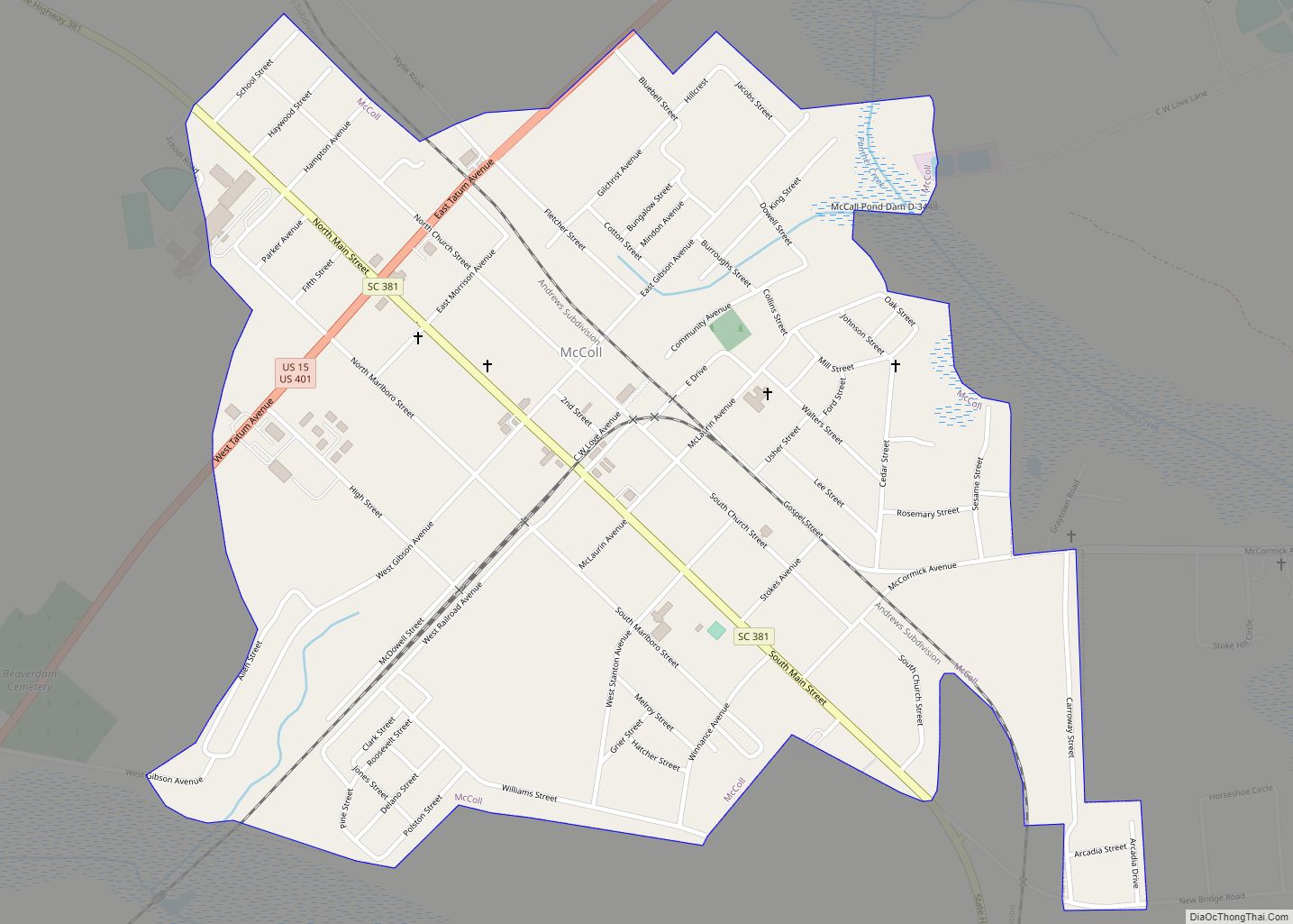
Town Creek Indian Mound, a National Historic Landmark located across the border in present-day Montgomery County, North Carolina, is a surviving platform mound and archeological village site of this Pee Dee culture. It was occupied about 200 years and abandoned after AD 1150, for unknown reasons. In 2017, the Pee Dee Indian Tribe officially began work on the Pee Dee Tribal Mounds located on tribal land in McColl.
European colonization and later history
The first European colonists to arrive in the area were Welsh settlers, part of the British Isles colonists who migrated south from Pennsylvania. In 1737, they established the first European-American settlement, called Welsh Neck. These settlers organized a Baptist church in January 1738.
The South Carolina Welsh settlement consisted of 173,000 acres granted exclusively to Welsh settlers in 1737 by an act of the South Carolina Assembly. Within a decade, nearly all of this land had been taken and settled in by Welsh immigrants, the majority of whom were Baptists. They immigrated to what is now Marlboro County, South Carolina from existing Welsh settlements in Delaware and Pennsylvania as well as directly from Wales. The European settlement along the Peedee River from area around Poston and Gresham, South Carolina all the way to the area around McFarlan, North Carolina was exclusively Welsh between the 1730s and the 1780s.
On 12 March 1785, Marlboro County was established by the South Carolina General Assembly according to its powers as described in the 1778 Constitution of the State of South Carolina during the American Revolution. It was named for the Duke of Marlborough. The nascent county remained part of what was then known as Cheraws District until 1798, then in 1800 Marlboro became a district itself. Under the 1868 Constitution of the State of South Carolina, passed during the Reconstruction era, South Carolina districts became counties with home rule, where the legislative representatives from each county had additional powers as councillors of their county.
The first courthouse was built near the Great Pee Dee River, just north of Crooked Creek, in a village called Carlisle, named for Richard Carlisle.
To establish a central location for the county court, the state legislature designated Bennettsville, founded in 1819, as the new county seat. Construction for a courthouse, designed by Robert Mills, began in 1820. and was completed in 1824. It was replaced in the later 19th century. The second courthouse was expanded and renovated in 1953–1954.
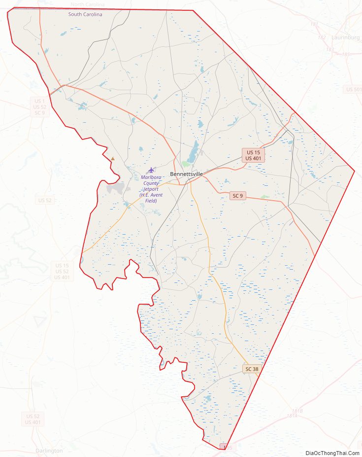
Marlboro County Road Map
Geography
According to the U.S. Census Bureau, the county has a total area of 485 square miles (1,260 km), of which 480 square miles (1,200 km) is land and 5.6 square miles (15 km) (1.2%) is water.
National protected area
- Great Pee Dee River Heritage Preserve Wildlife Management Area (part)
Major water bodies
- Crooked Creek
- Little Pee Dee River
- Great Pee Dee River
- Lake Wallace
Adjacent counties
- Richmond County, North Carolina – north
- Scotland County, North Carolina – northeast
- Robeson County, North Carolina – east
- Dillon County – east
- Florence County – south
- Darlington County – southwest
- Chesterfield County – west
- Anson County, North Carolina – northwest
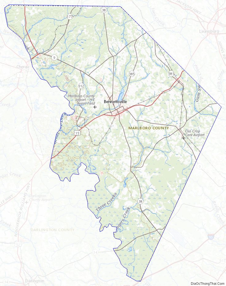
Marlboro County Topographic Map
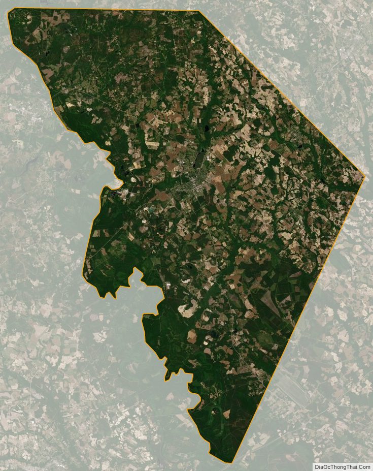
Marlboro County Satellite Map
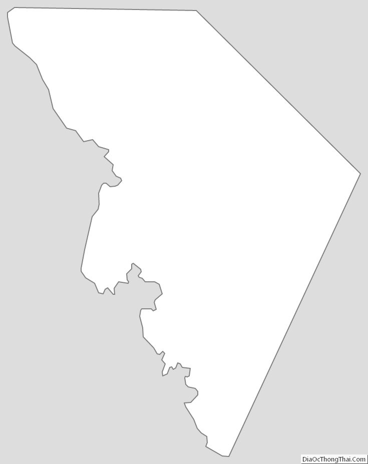
Marlboro County Outline Map