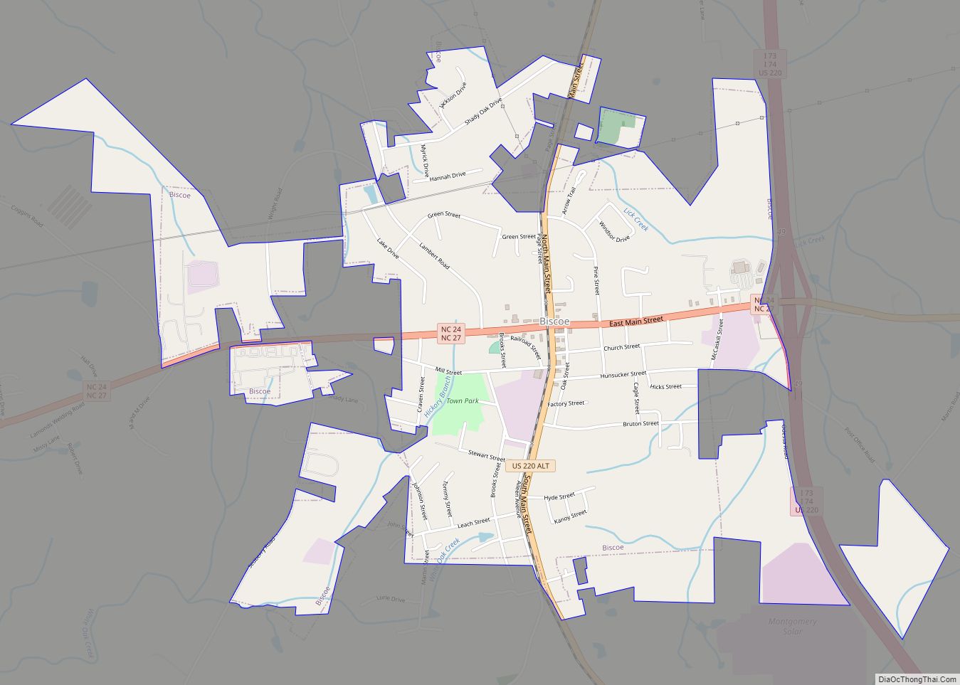
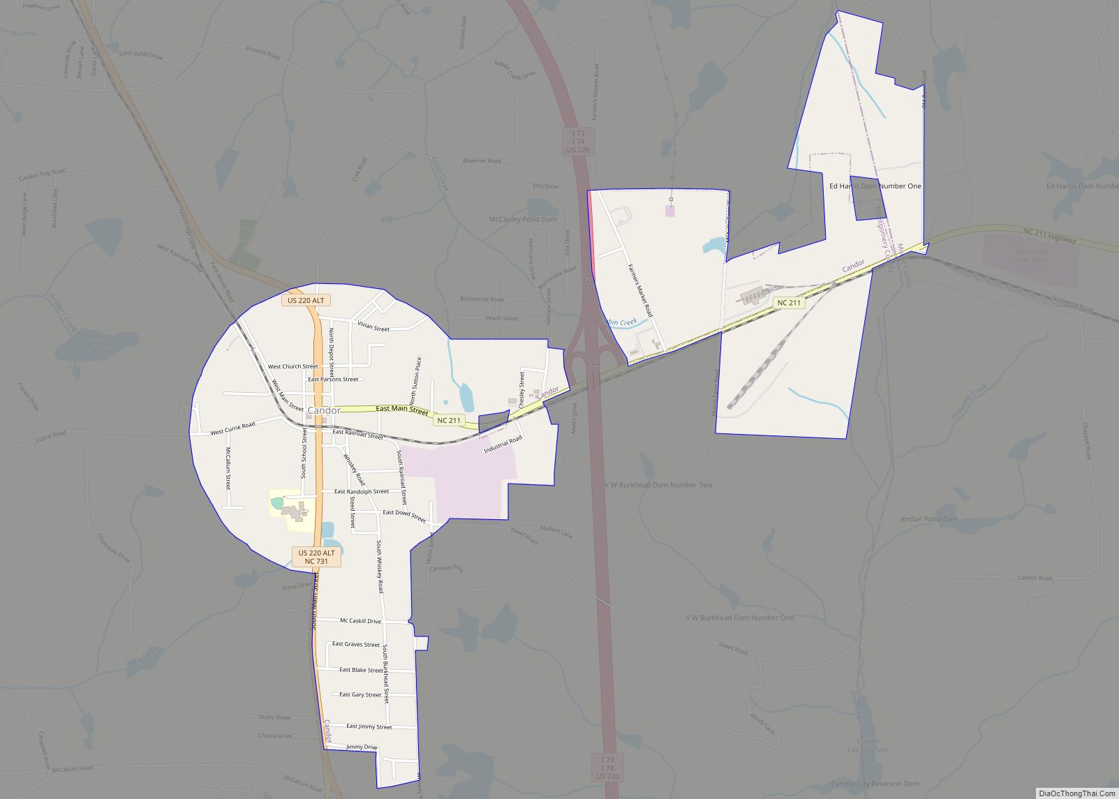
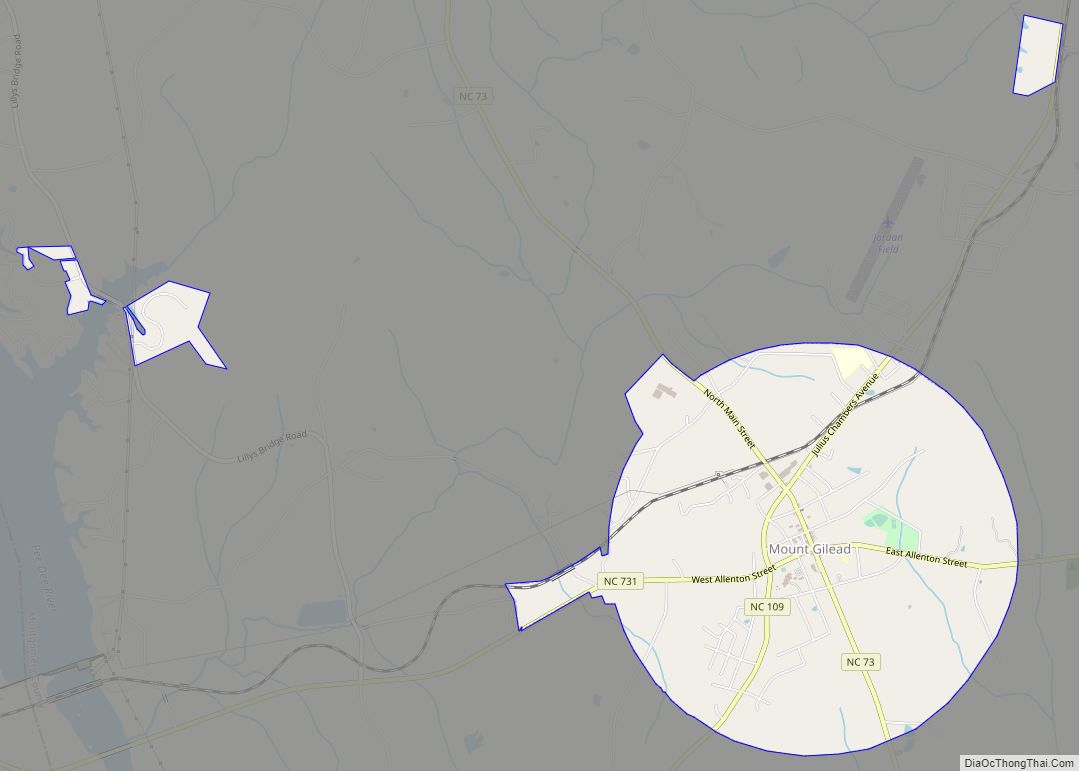
Montgomery County is a rural county located in the southern Piedmont of the U.S. state of North Carolina. As of the 2020 census, the population was 25,751. Its county seat is Troy.
| Name: | Montgomery County |
|---|---|
| FIPS code: | 37-123 |
| State: | North Carolina |
| Founded: | 1779 |
| Named for: | Richard Montgomery |
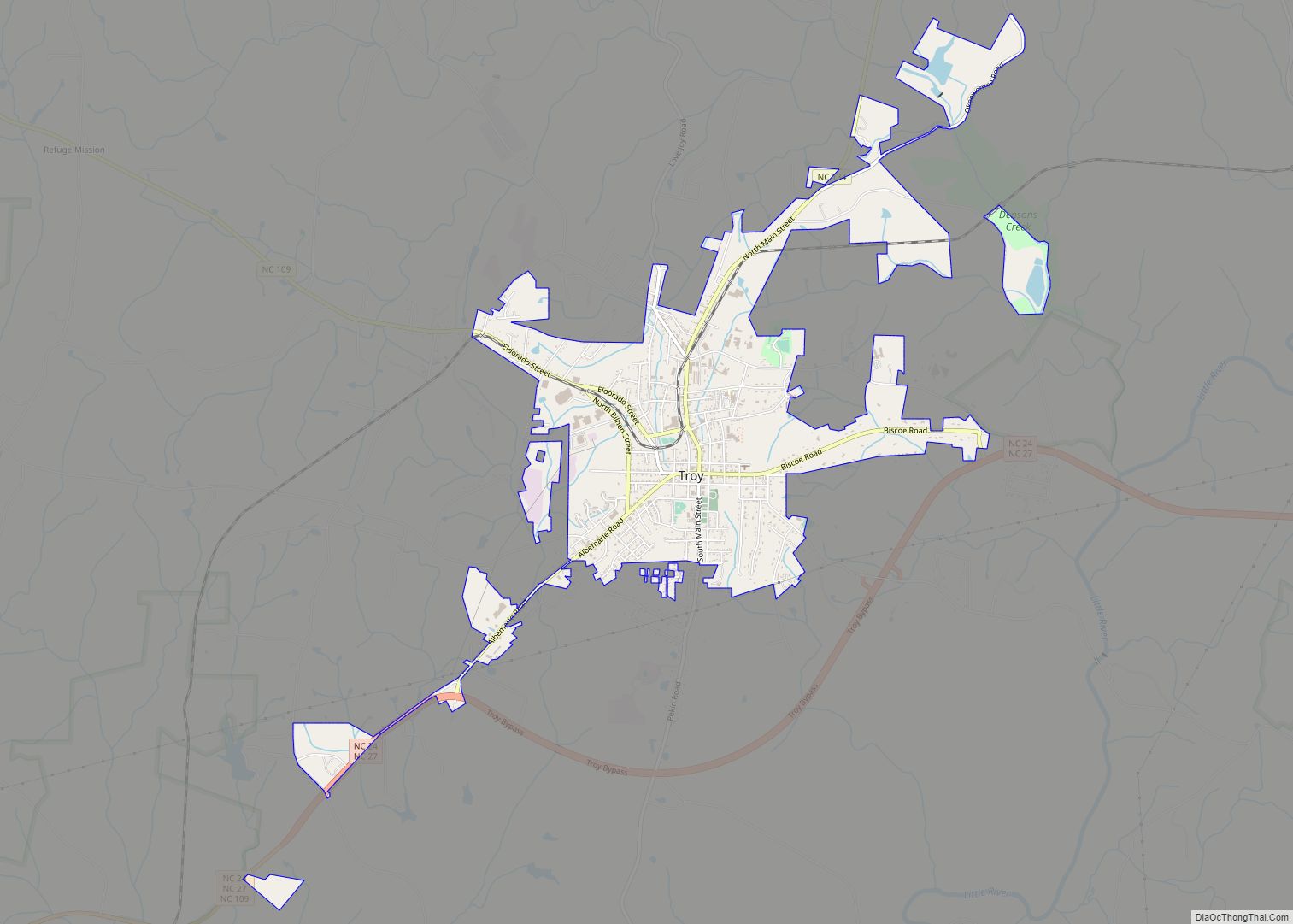
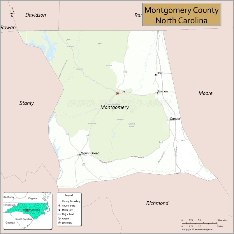
| Seat: | Troy |
| Largest town: | Troy |
| Total Area: | 502 sq mi (1,300 km²) |
| Land Area: | 492 sq mi (1,270 km²) |
| Total Population: | 25,798 |
| Population Density: | 52.4/sq mi (20.2/km²) |
| Time zone: | UTC−5 (Eastern) |
| Summer Time Zone (DST): | UTC−4 (EDT) |
| Website: | www.montgomerycountync.com |
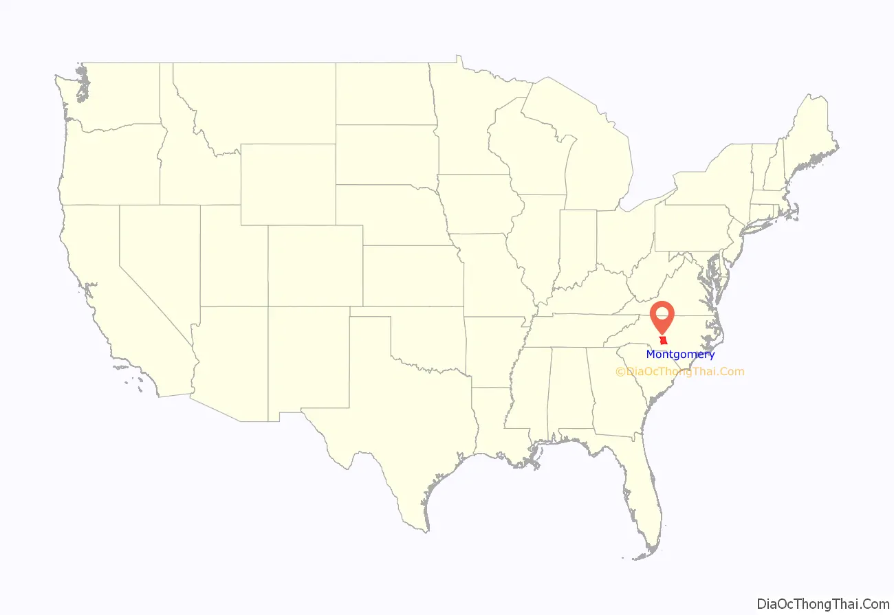
Montgomery County location map. Where is Montgomery County?

History
The county was formed in January 1779, by an act of the North Carolina General Assembly of 1778, from part of Anson County. It was named in honor of Richard Montgomery, an American Revolutionary War general killed in 1775 while attempting to capture Quebec City, Canada. The North Carolina General Assembly of 1779 named James Roper, James Allen, Cornelius Robeson, Samuel Person, and John Collier of Randolph County as the commissioners of Montgomery County and charged them with determining the location for a county seat. They chose what developed as Troy.
In 1841, the part of Montgomery County west of the Yadkin/Pee Dee River became Stanly County.
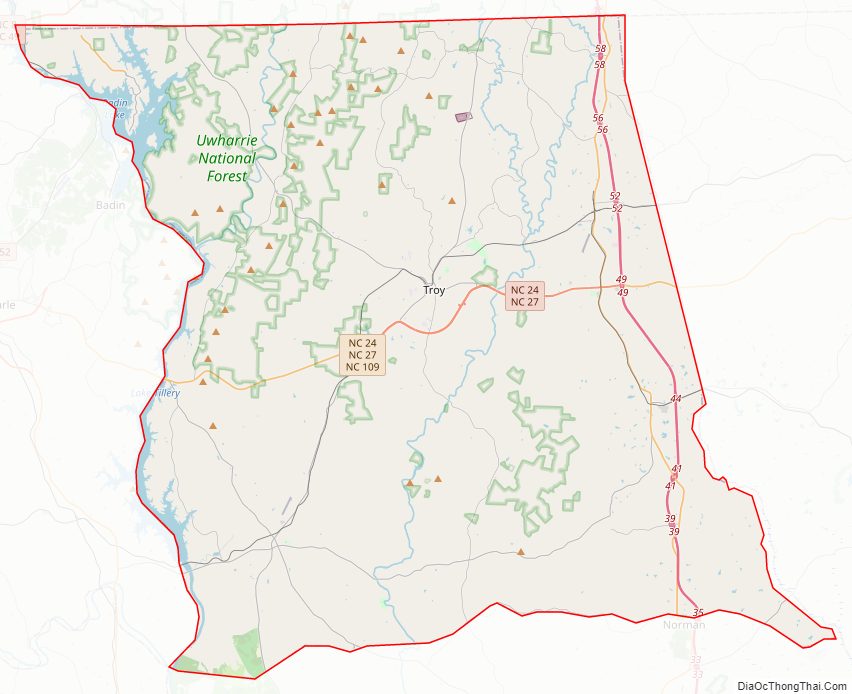
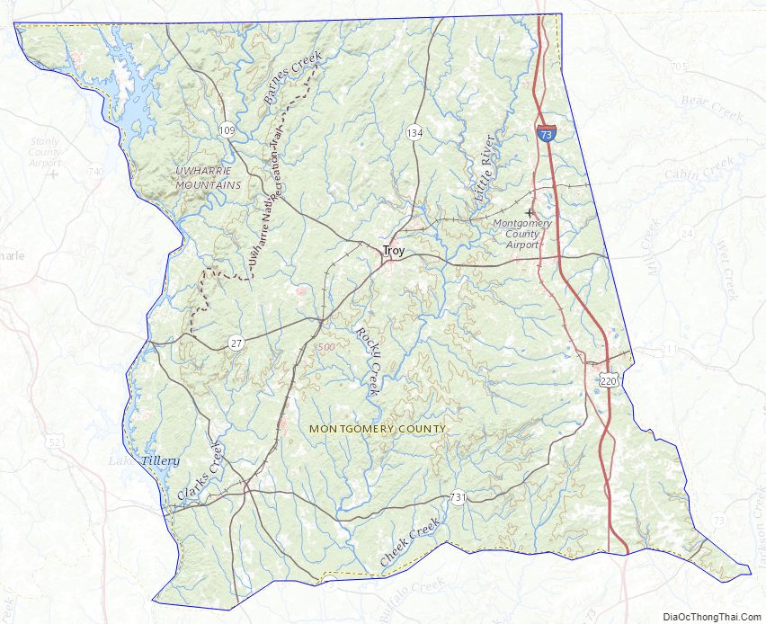
Montgomery County Road Map
Geography
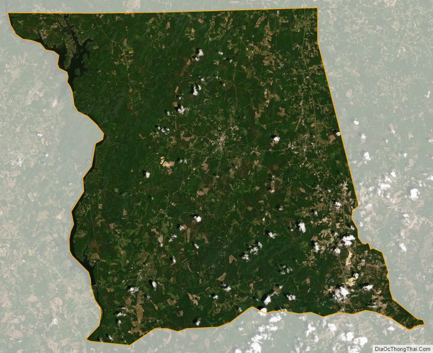
According to the U.S. Census Bureau, the county has a total area of 502 square miles (1,300 km), of which 492 square miles (1,270 km) is land and 10 square miles (26 km) (2.0%) is water. It is situated in the heart of the Uwharrie National Forest.
National protected area
- Uwharrie National Forest (part)
State and local protected areas/sites
- Roy J. Maness Nature Preserve
- Town Creek Indian Mound State Historic Site
- Uwharrie Game Land
Major water bodies
- Badin Lake
- Big Creek
- Big Mountain Creek
- Densons Creek
- Drowning Creek
- Great Pee Dee River
- Jackson Creek
- Lake Tillery
- Little River
- Rocky Creek
- Spencer Creek (Uwharrie River tributary)
- Tuckertown Reservoir
- Uwharrie River
- Yadkin River
Adjacent counties
- Randolph County – northeast
- Moore County – east
- Richmond County – south
- Anson County – southwest
- Stanly County – west
- Davidson County – northwest
Major highways
- I-73
- I-74
- US 220
- US 220 Alt.
- NC 24
- NC 27
- NC 27 Bus. (Possible future business route in Troy)
- NC 73
- NC 109
- NC 109 Bus. (Mount Gilead)
- NC 109 Bus. (Troy)
- NC 134
- NC 211
- NC 731
Major infrastructure
- Montgomery County Airport
Montgomery County Topographic Map
Montgomery County Satellite Map
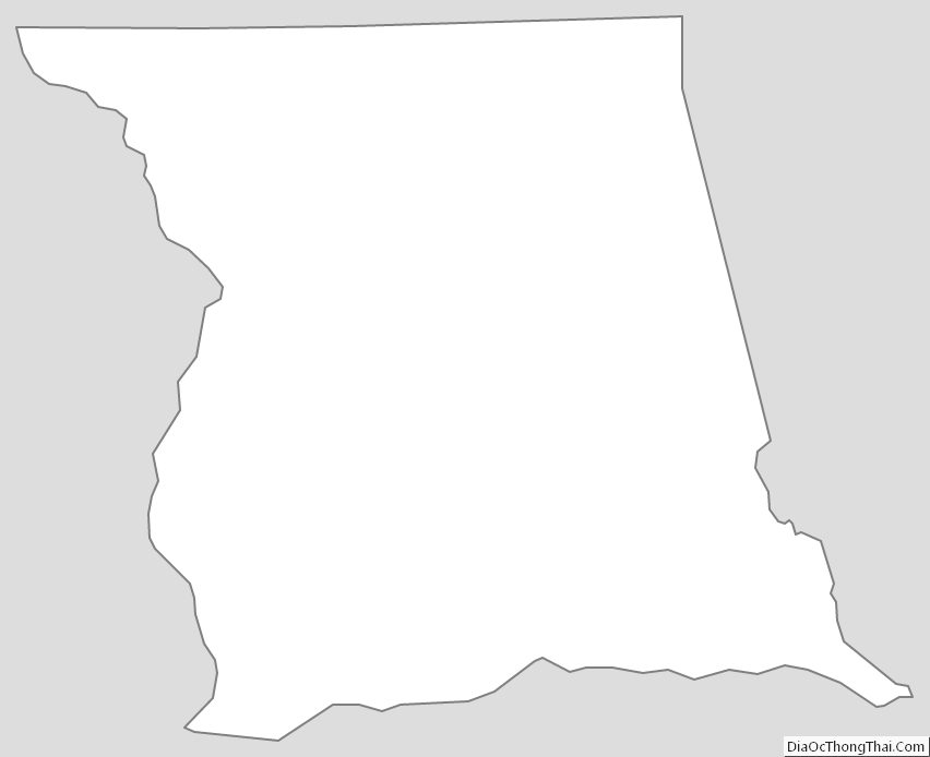
Montgomery County Outline Map