| Name: | Mitchell County |
|---|---|
| FIPS code: | 48-335 |
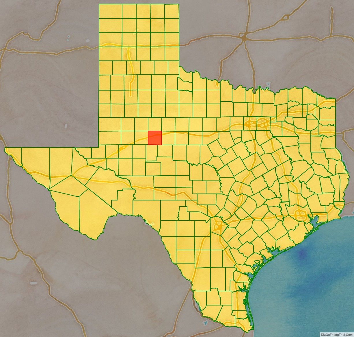
| State: | Texas |
| Founded: | 1881 |
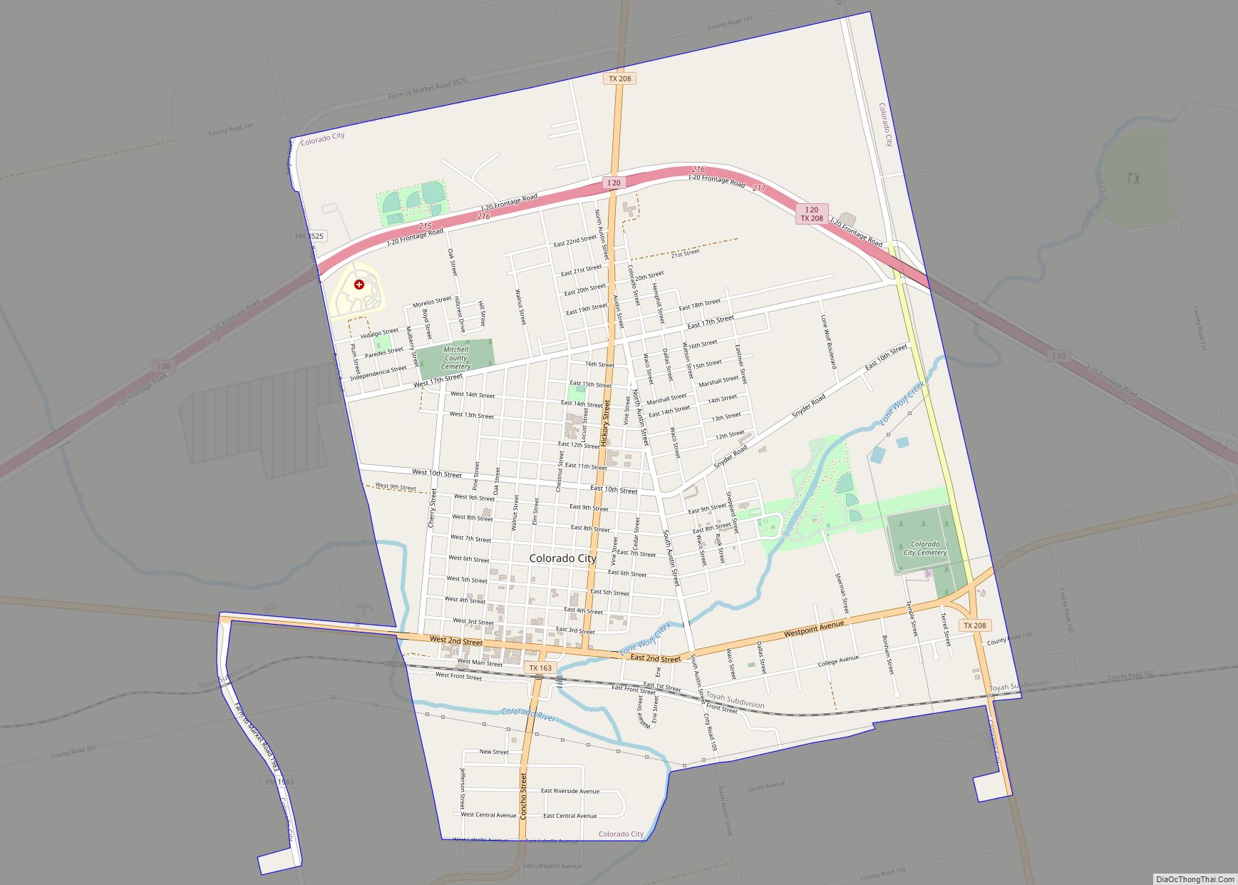
| Seat: | Colorado City |
| Largest city: | Colorado City |
| Total Area: | 916 sq mi (2,370 km²) |
| Land Area: | 911 sq mi (2,360 km²) |
| Total Population: | 8,990 |
| Population Density: | 9.8/sq mi (3.8/km²) |
| Time zone: | UTC−6 (Central) |
| Summer Time Zone (DST): | UTC−5 (CDT) |
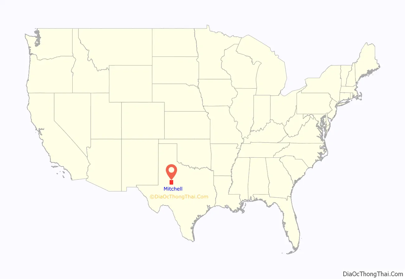
Mitchell County location map. Where is Mitchell County?
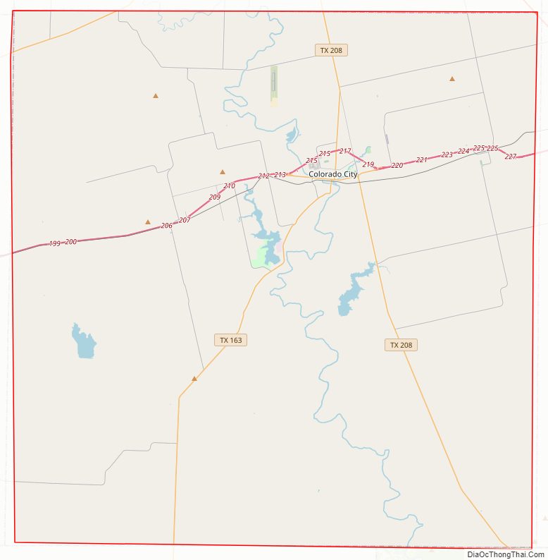
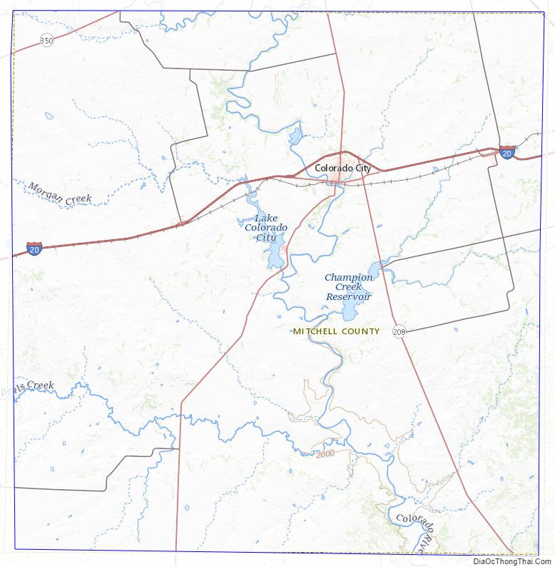
Mitchell County Road Map
Geography
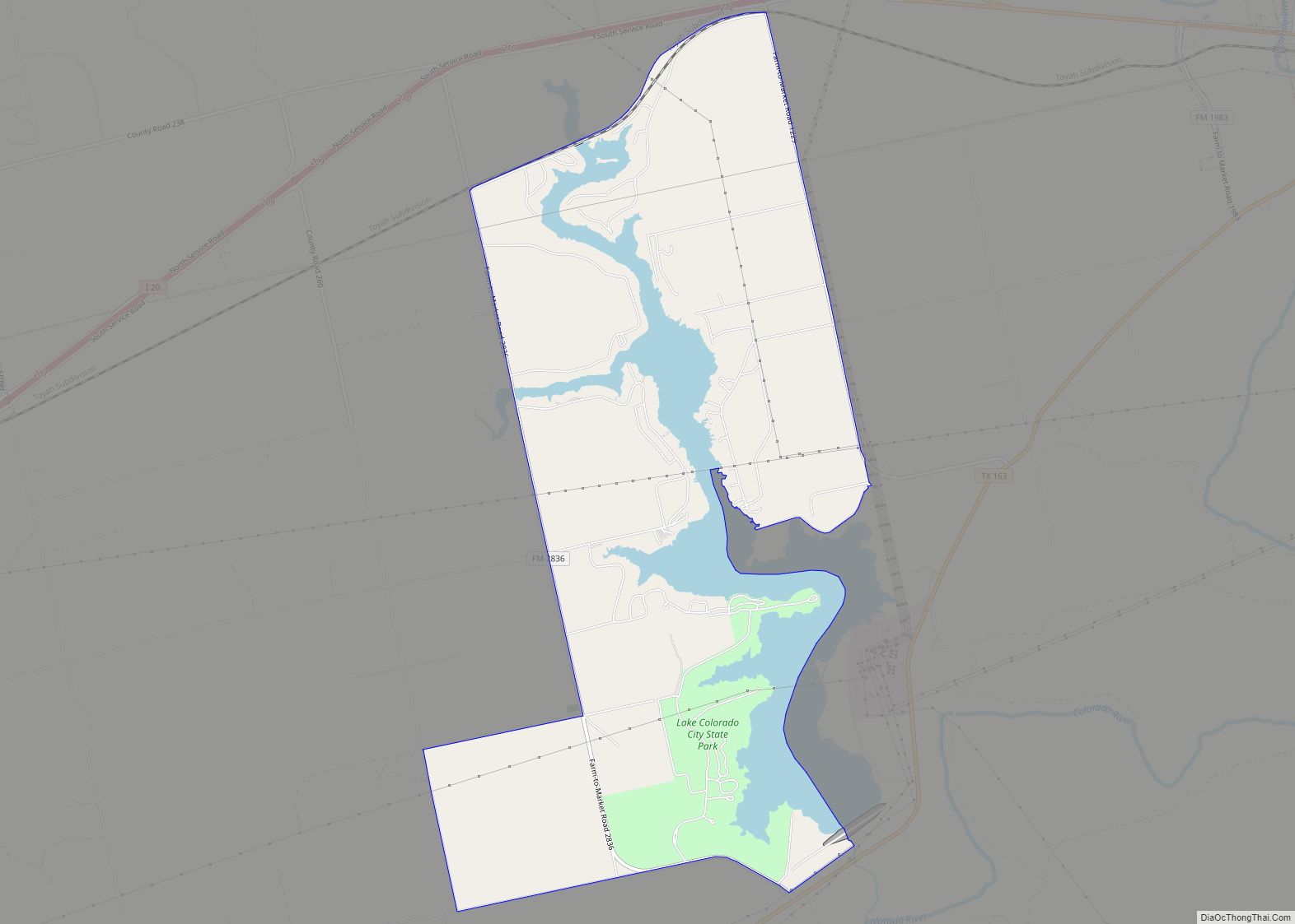
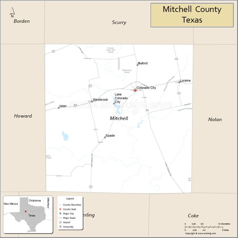
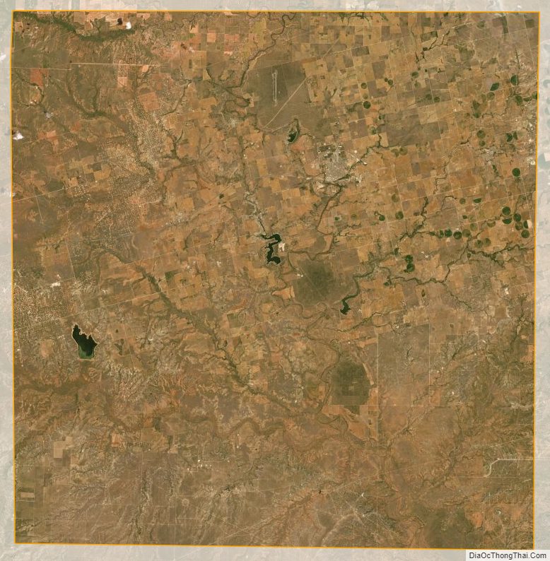
According to the U.S. Census Bureau, the county has a total area of 916 square miles (2,370 km), of which 911 sq mi (2,360 km) are land and 4.8 sq mi (12 km) (0.5%) are covered by water. Mitchell County contains two reservoirs, Lake Colorado City and Lake Champion.
Major highways
- Interstate 20
- State Highway 163
- State Highway 208
- State Highway 350
Adjacent counties
- Scurry County (north)
- Fisher County (northeast)
- Nolan County (east)
- Coke County (southeast)
- Sterling County (south)
- Howard County (west)
- Borden County (northwest)
Mitchell County Topographic Map
Mitchell County Satellite Map
Mitchell County Outline Map