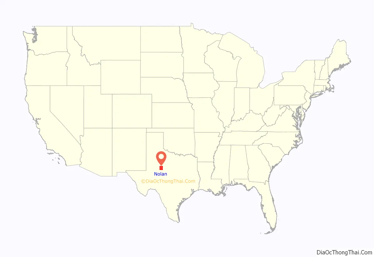
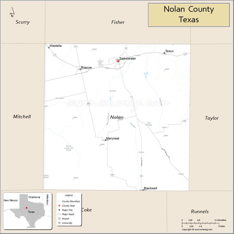
Nolan County is a county located in the west-central region of the U.S. state of Texas. As of the 2020 census, its population was 14,738. Its county seat is Sweetwater. The county was created in 1876 and organized in 1881. It is named for Philip Nolan, one of the first American traders to visit Texas. Nolan County comprises the Sweetwater micropolitan statistical area.
| Name: | Nolan County |
|---|---|
| FIPS code: | 48-353 |
| State: | Texas |
| Founded: | 1881 |
| Named for: | Philip Nolan |
| Seat: | Sweetwater |
| Largest city: | Sweetwater |
| Total Area: | 914 sq mi (2,370 km²) |
| Land Area: | 912 sq mi (2,360 km²) |
| Total Population: | 14,738 |
| Population Density: | 16/sq mi (6.2/km²) |
| Time zone: | UTC−6 (Central) |
| Summer Time Zone (DST): | UTC−5 (CDT) |
| Website: | www.co.nolan.tx.us |
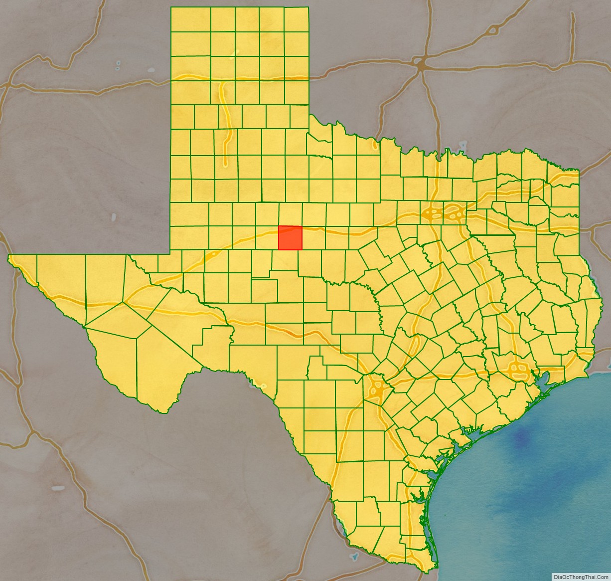
Nolan County location map. Where is Nolan County?
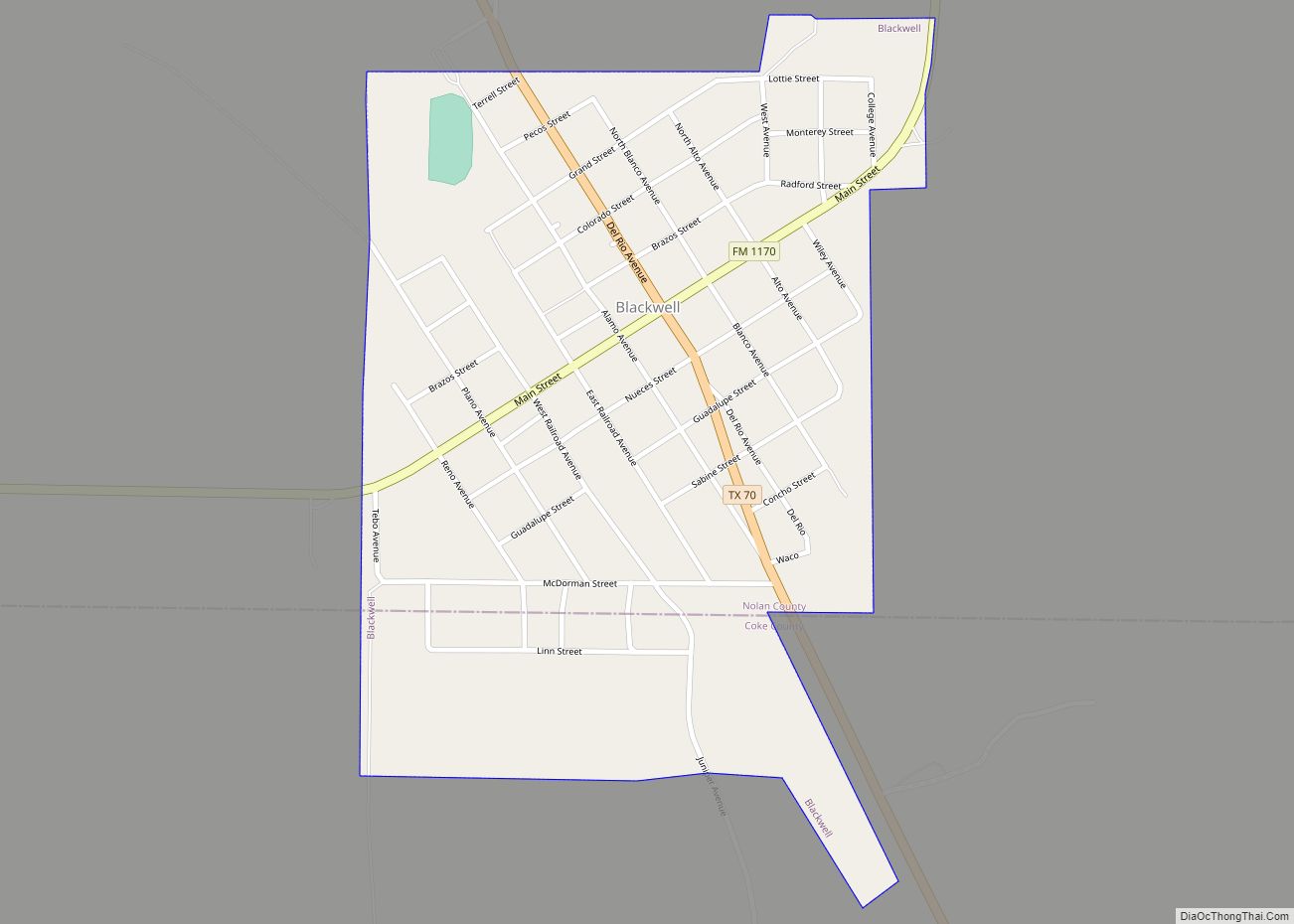
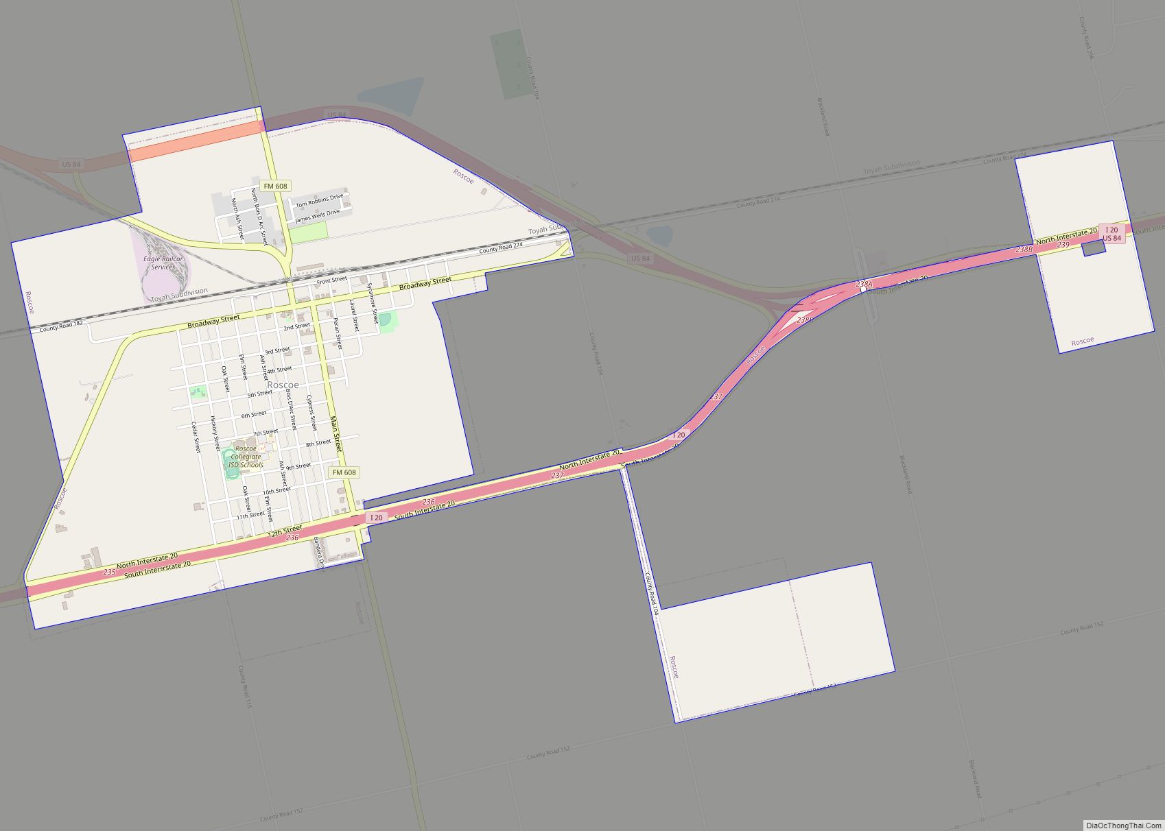
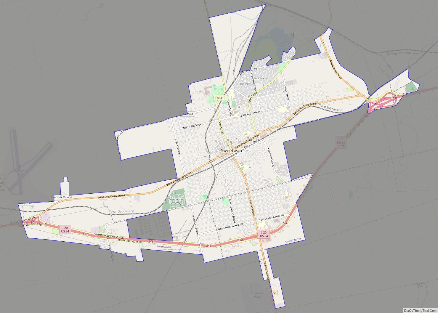
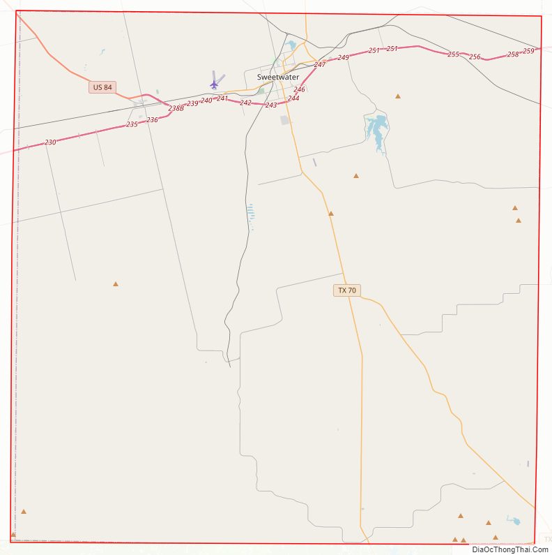
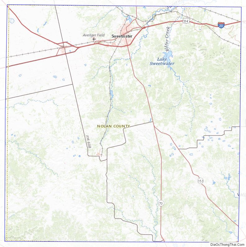
Nolan County Road Map
Geography
According to the U.S. Census Bureau, the county has a total area of 914 square miles (2,370 km), of which 2.0 sq mi (5.2 km) (0.2%) are covered by water.
Nolan County is in the Cross Timbers region for wildlife management. Geologically Nolan County occupies part of the Rolling Plains in the North and South, separated by an isolated part of the Edwards Plateau in much of the center. The uplifted plateau, rising up to 500 feet above the surrounding plains, gives Nolan county an advantage on production of wind energy.
West of Highland School, the Bench Mountain, at 2607 feet above sea level, is listed as the highest point in Nolan County.
Plateau areas of the Cretaceous Period and much of the county are underlain by petroleum deposits from the Pennsylvanian Period.
Major highways
- Interstate 20
- U.S. Highway 84
- State Highway 70
- State Highway 153
Adjacent counties
- Fisher County (north)
- Taylor County (east)
- Runnels County (southeast)
- Coke County (south)
- Mitchell County (west)
Nolan County Topographic Map
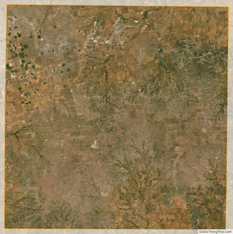
Nolan County Satellite Map
Nolan County Outline Map