Coke County is a county located on the Edwards Plateau in the U.S. state of Texas. As of the 2020 census, its population was 3,285. Its county seat is Robert Lee. The county was founded in 1889 and is named for Richard Coke, the 15th governor of Texas. Coke County was one of 46 prohibition, or entirely dry, counties in the state of Texas, but passed a law allowing the sale of beer and wine in 2005.
| Name: | Coke County |
|---|---|
| FIPS code: | 48-081 |
| State: | Texas |
| Founded: | 1889 |
| Named for: | Richard Coke |
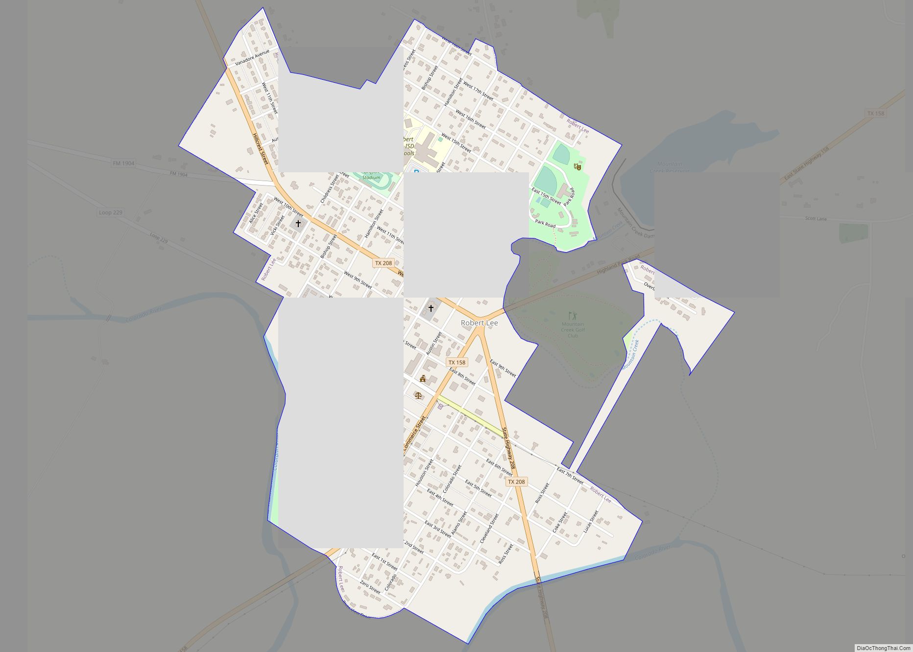
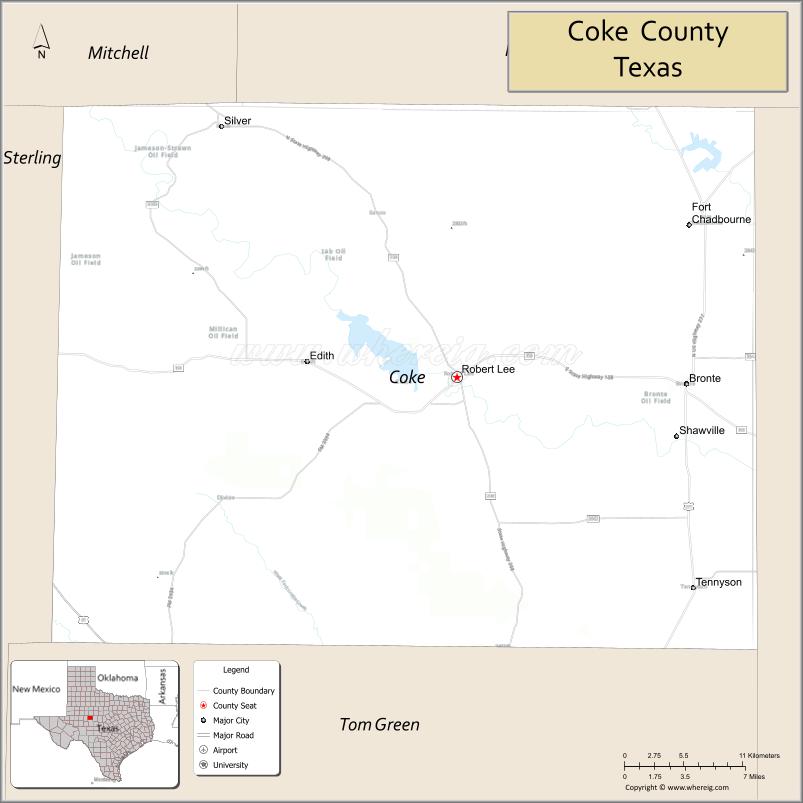
| Seat: | Robert Lee |
| Largest city: | Robert Lee |
| Total Area: | 928 sq mi (2,400 km²) |
| Land Area: | 911 sq mi (2,360 km²) |
| Total Population: | 3,285 |
| Population Density: | 3.5/sq mi (1.4/km²) |
| Time zone: | UTC−6 (Central) |
| Summer Time Zone (DST): | UTC−5 (CDT) |
| Website: | www.co.coke.tx.us |
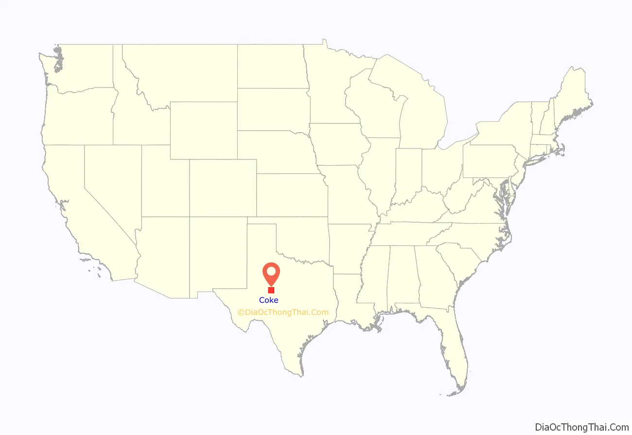
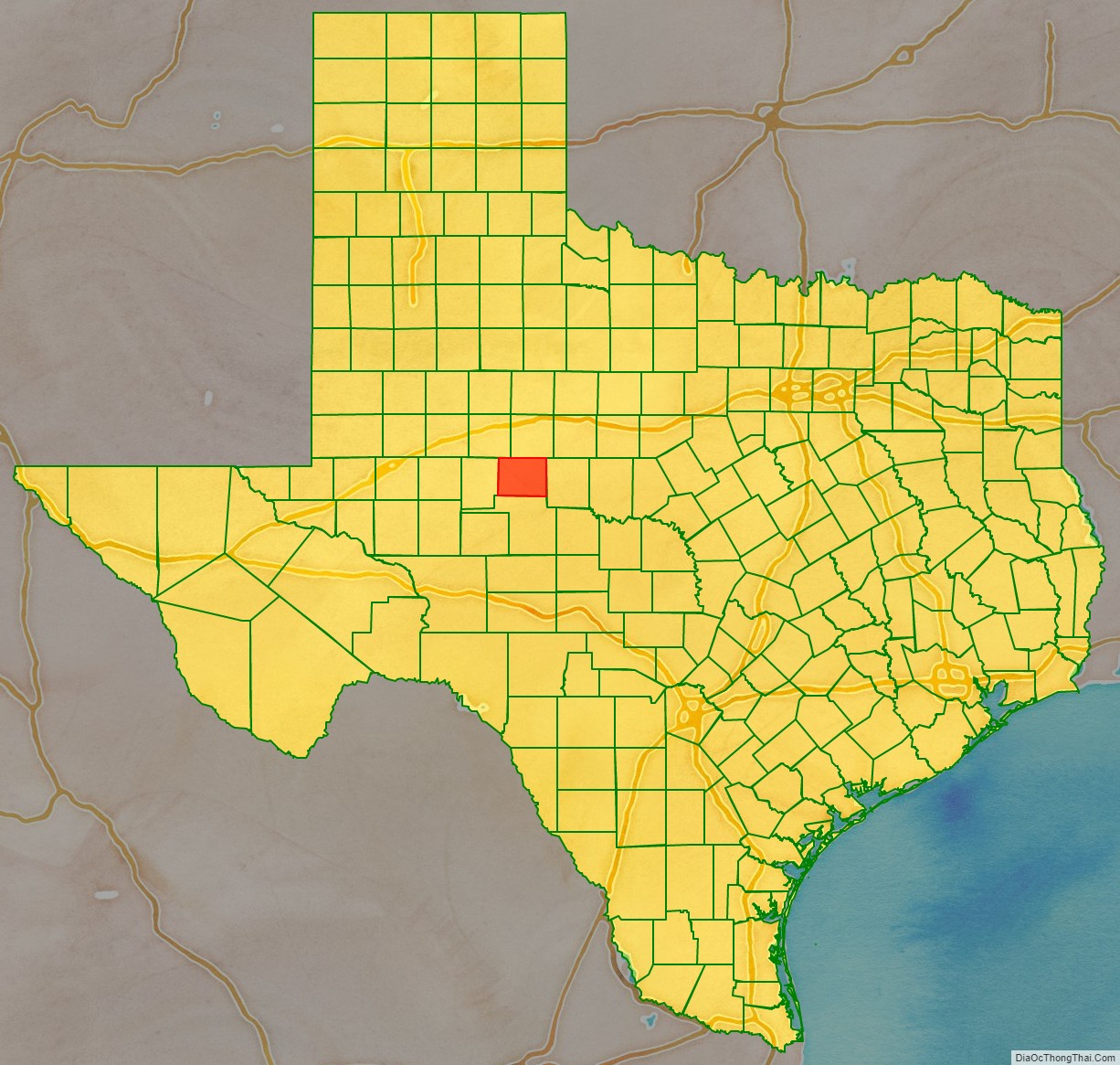
Coke County location map. Where is Coke County?
History
Native Americans
From about 1700 to the 1870s, Comanche, Tonkawa, Lipan Apache, Kickapoo, and Kiowa roamed the county. These tribes settled in rock shelters in the river and creek valleys, leaving behind artifacts and caches of seeds, implements, burial sites, petroglyphs, river shells, turkey and deer bones, flint knives, scrapers, and points.
Early years
In 1851, United States Army post Fort Chadbourne was established to protect the frontier, and the fort was manned until the Civil War. The Butterfield Overland Mail ran through the area from 1858 to 1861.
Between 1860 and the early 1880s, the only settlers in what became Coke County were ranchers attracted to open grazing land. J. J. Austin established his ranch headquarters near Sanco in 1875. Pate Francher settled in the area in 1877.
In 1882, the Texas and Pacific Railway began providing service to San Angelo, and settlers started coming into the region in somewhat larger numbers.
Severe drought in the 1880s led to fence cutting and its attendant issues. State authorities eventually settled the disputes.
A few years later, the county was named after Confederate soldier, Texas leader, governor, and U.S senator Richard Coke.
County history
The Texas Legislature established Coke County in 1889, out of Tom Green County. The county was organized that same year, with Hayrick as county seat. The county’s first newspaper, the Hayrick Democrat, began publication in 1889, but was renamed the Rustler.
In 1891, after an election, the new town of Robert Lee became the county seat. Robert E. Lee had once served at Fort Chadbourne. That same year, the county’s newspaper moved to the new county seat and was renamed the Robert Lee Observer.
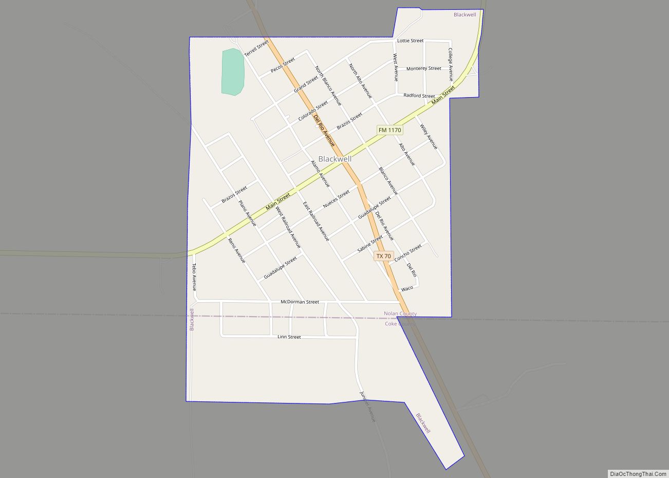
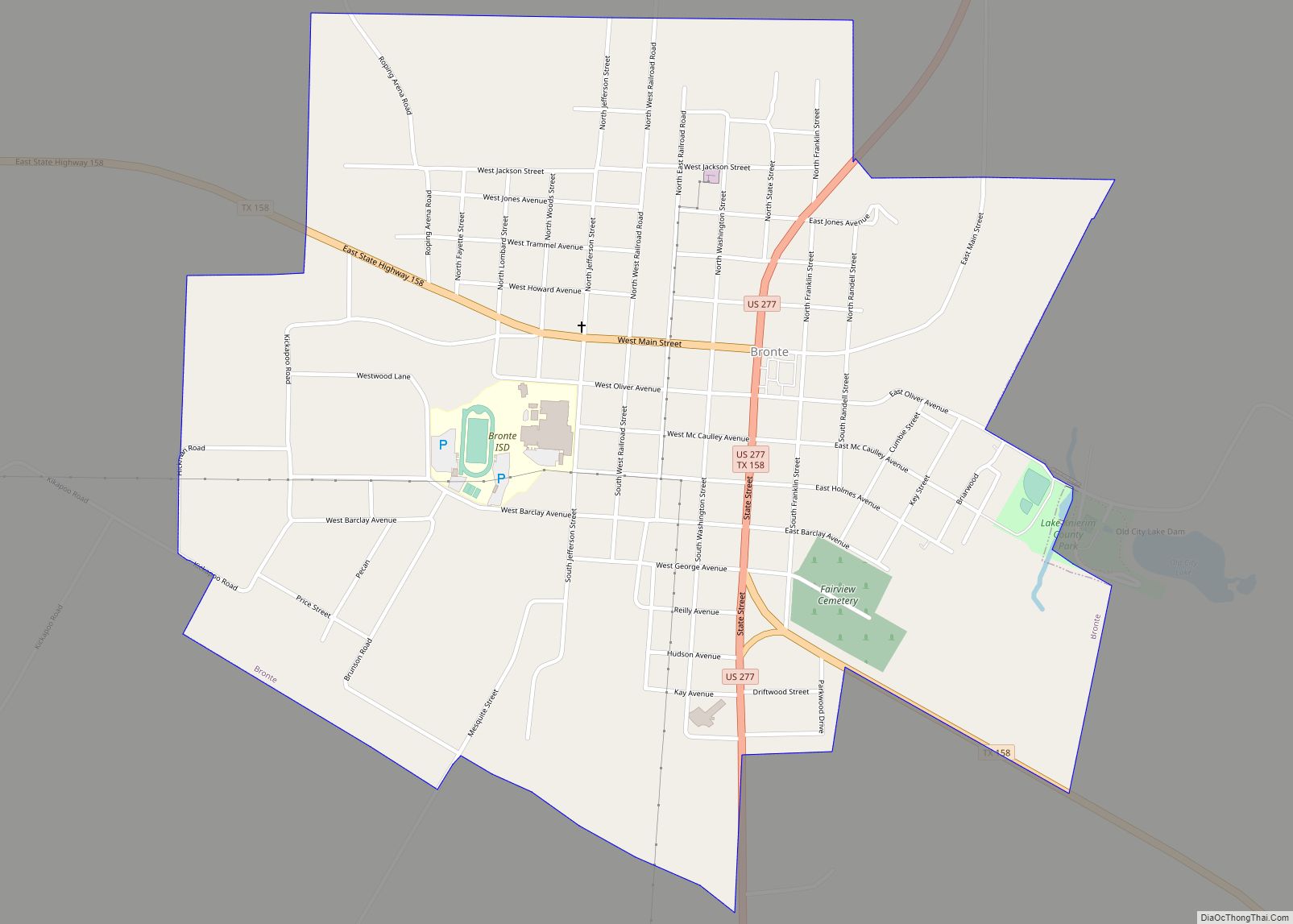
Dr. D.W. Key started the town of Bronte, named after English writer Charlotte Brontë. The town was originally named Oso and then Bronco. A post office was granted in 1890 after residents changed the name to Bronte.
Silver, named after Silver Peak Summit, was settled between 1870 and 1880 as a ranching hub. Early settlers were S.M. Conner, R.B. Allen, W.G. Jameson, and W.R. Walker. Dr. Joseph Eaton Reed was for 50 years the only physician. Oil discovery and related industries created a boom in Silver in the mid-20th century. After the oil camps closed down in 1966, Silver’s population slipped drastically.
Tennyson, named in honor of the British poet Alfred, Lord Tennyson was established in 1892. It received a post office two years later.
The Kansas City, Mexico and Orient Railway built tracks north from San Angelo in 1907, which benefited Tennyson, Bronte, and Fort Chadbourne.
Cotton acreage peaked in 1910, but plunged sharply during the 1920s, because of a boll weevil infestation. Expanding during the same period was the production of corn, wheat, sorghum, and fruit trees. The county population declined during the Great Depression.
Oil was discovered in the county in 1942, and by 1991, 209,281,131 barrels (33,273,040.9 m) had been taken from Coke County lands. Tax money derived from oil profits helped the county to improve infrastructure and public facilities and services for its citizens. Oil production accounts for the major share of income for the county.
In 1995 Louis Jones murdered United States Army soldier Tracie Joy McBride in Coke County after having kidnapped her from Goodfellow Air Force Base in San Angelo, Texas.
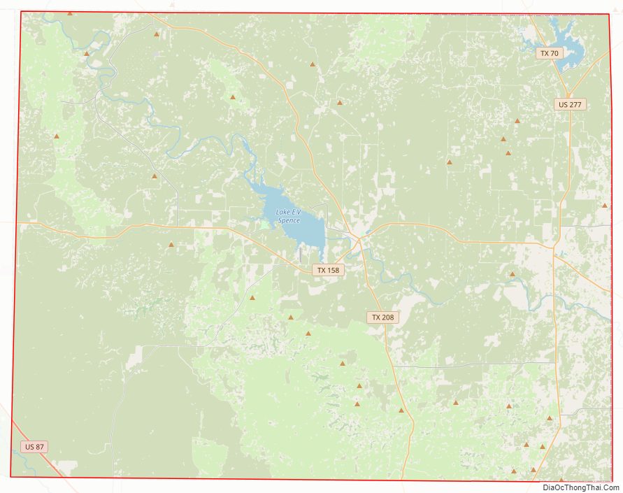
Coke County Road Map
Geography
According to the United States Census Bureau, the county has a total area of 928 square miles (2,400 km), of which 911 square miles (2,360 km) are land and 17 square miles (44 km) (1.8%) are covered by water.
Major highways
- U.S. Highway 277
- State Highway 158
- State Highway 208
Adjacent counties
- Nolan County (north)
- Runnels County (east)
- Tom Green County (south)
- Sterling County (west)
- Mitchell County (northwest)
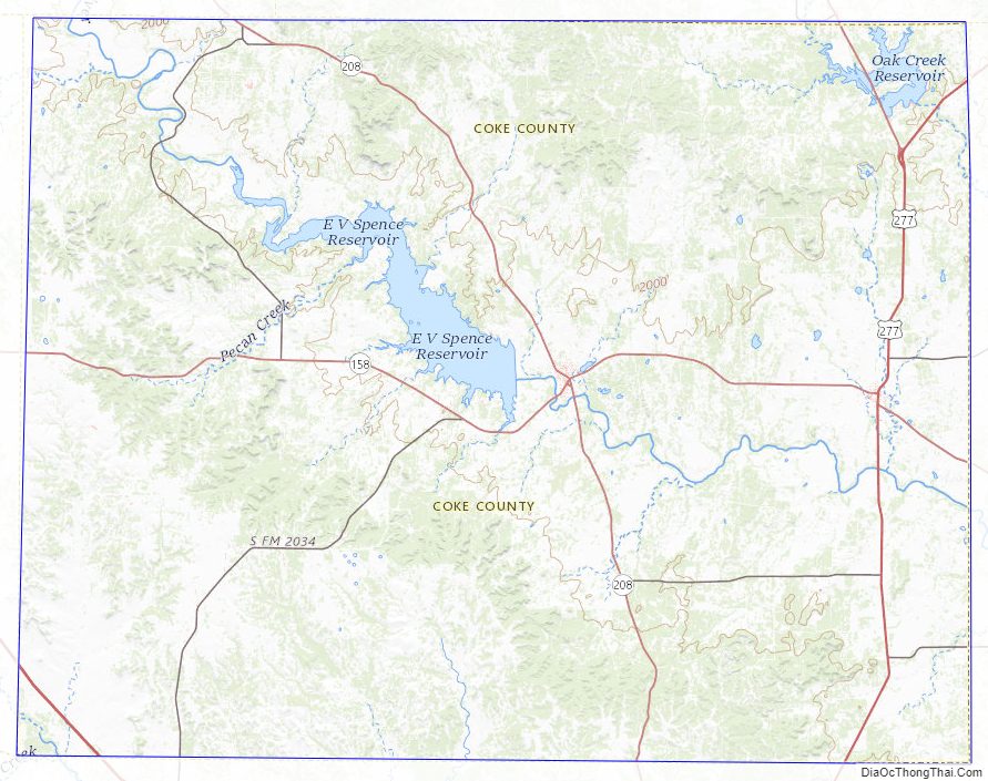
Coke County Topographic Map
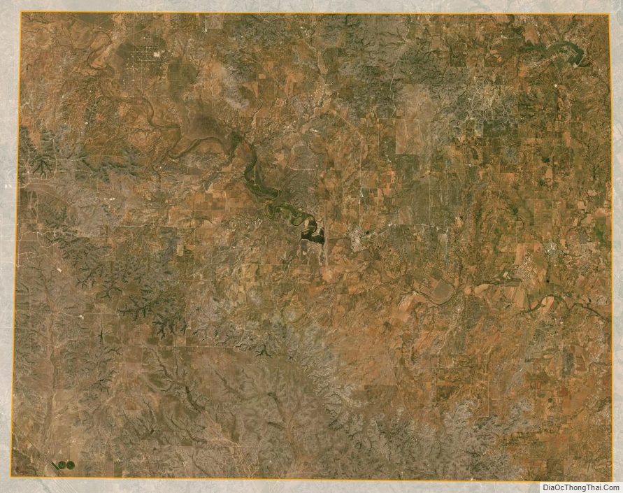
Coke County Satellite Map
Coke County Outline Map