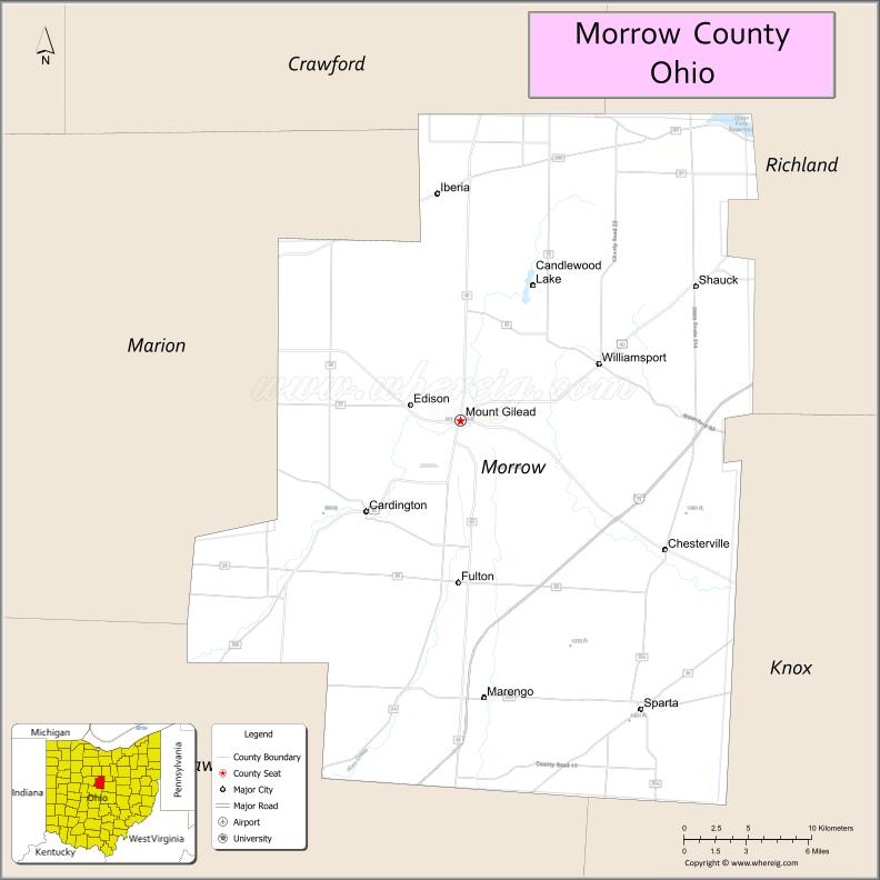
| Name: | Morrow County |
|---|---|
| FIPS code: | 39-117 |
| State: | Ohio |
| Founded: | March 1, 1848 |
| Named for: | Jeremiah Morrow |
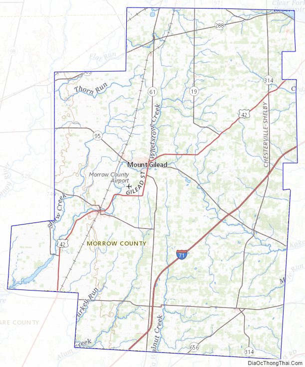
| Seat: | Mount Gilead |
| Total Area: | 407 sq mi (1,050 km²) |
| Land Area: | 406 sq mi (1,050 km²) |
| Total Population: | 34,950 |
| Population Density: | 86/sq mi (33/km²) |
| Time zone: | UTC−5 (Eastern) |
| Summer Time Zone (DST): | UTC−4 (EDT) |
| Website: | www.morrowcountyohio.gov |
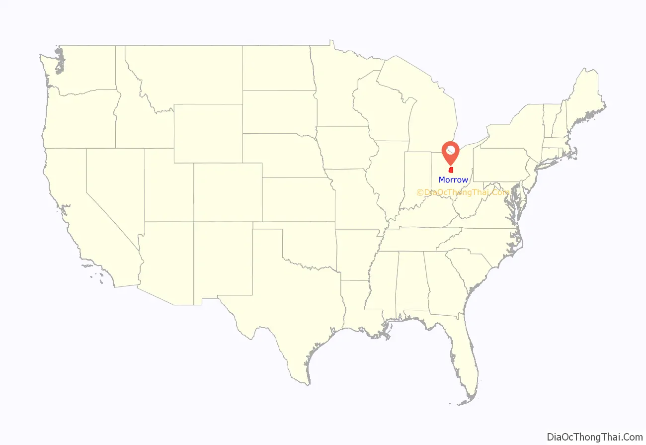
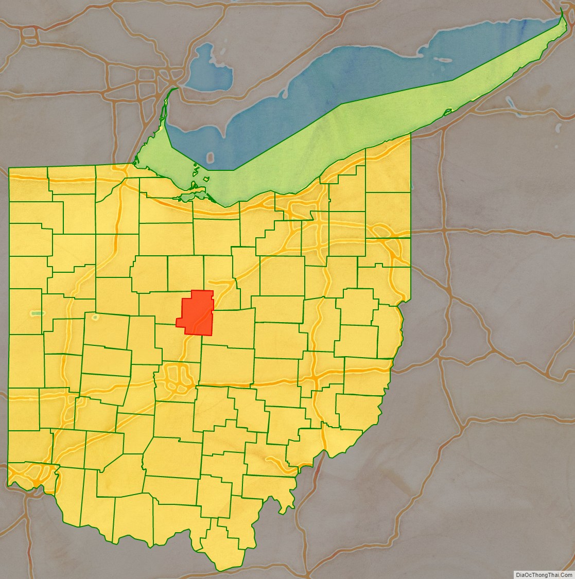
Morrow County location map. Where is Morrow County?
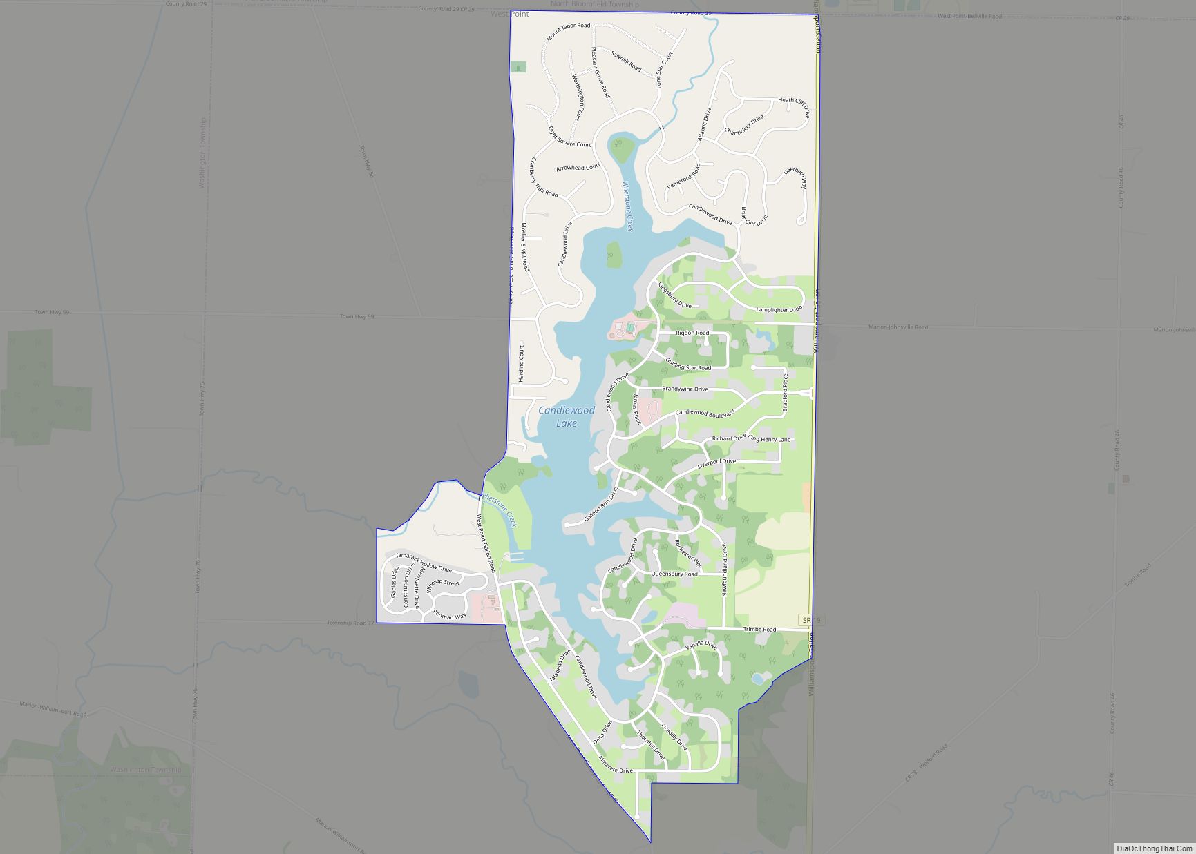
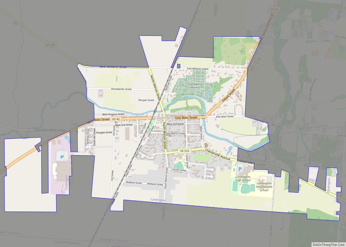
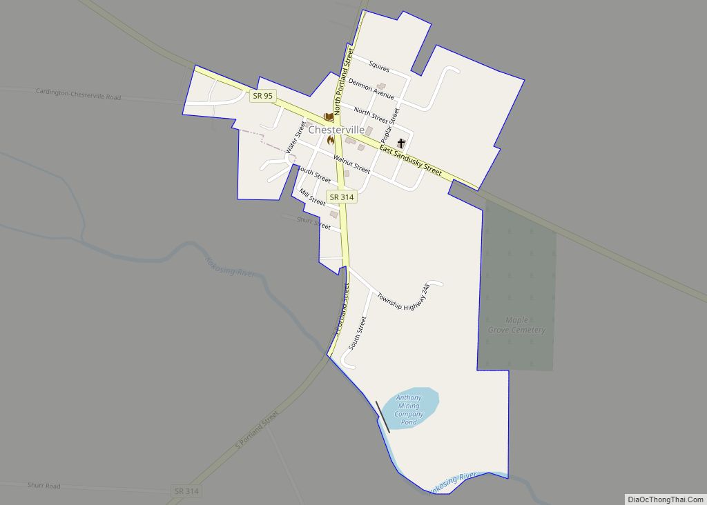
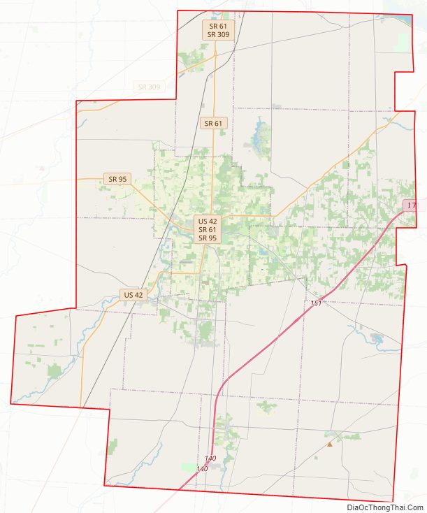
Morrow County Road Map
Geography
According to the U.S. Census Bureau, the county has a total area of 407 square miles (1,050 km), of which 406 square miles (1,050 km) is land and 1.1 square miles (2.8 km) (0.3%) is water. Morrow County is considered to be a part of “Mid Ohio.”
Adjacent counties
- Crawford County (north)
- Richland County (northeast)
- Knox County (southeast)
- Delaware County (southwest)
- Marion County (west)
Water features
Ossing Run is a tributary of Shaw Creek that flows through Morrow County, Ohio. Shaw Creek flows into Whetstone Creek which is located adjacent to Cardington, Ohio. The United States Geological Survey’s Geographic Names Information System (GNIS) classifies Ossing Run as a stream with an identification number of 2761345. The feature name was entered into the GNIS system in April 2014.
Morrow County Topographic Map
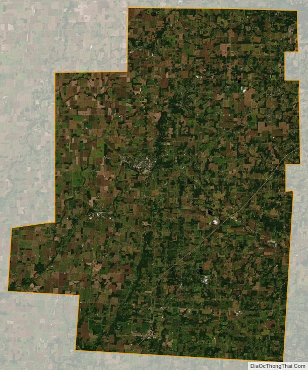
Morrow County Satellite Map
Morrow County Outline Map