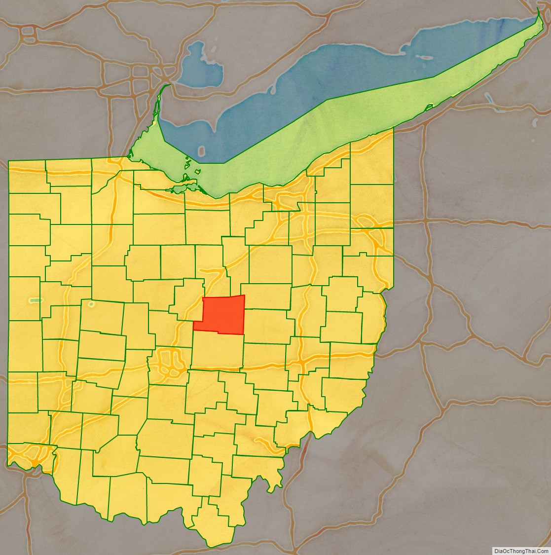
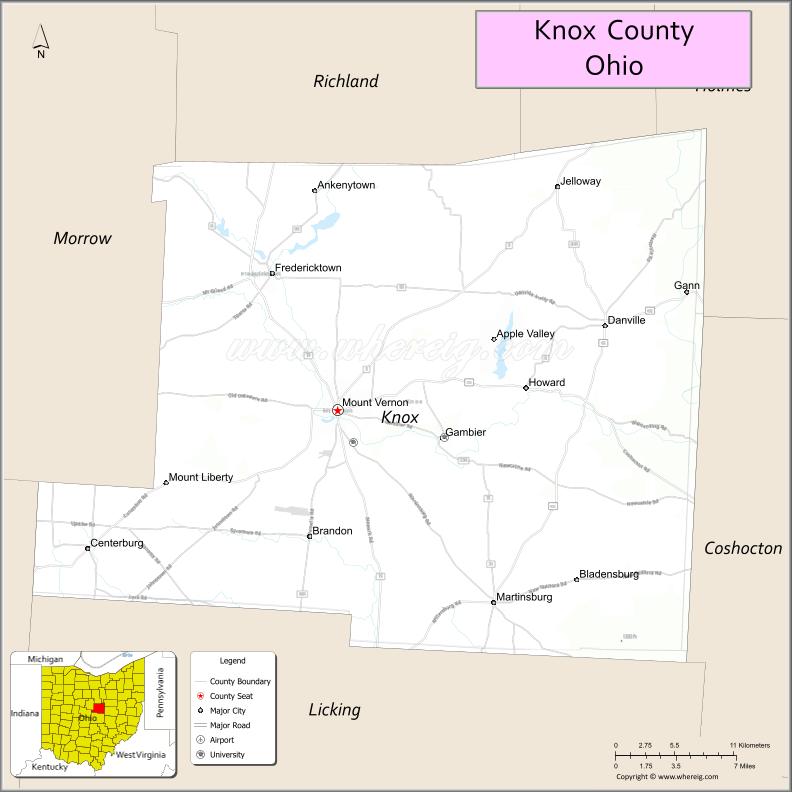
Knox County is a county located in the U.S. state of Ohio. As of the 2020 census, the population was 62,721. Its county seat is Mount Vernon. The county is named for Henry Knox, an officer in the American Revolutionary War who was later the first Secretary of War. Knox County comprises the Mount Vernon, OH Micropolitan Statistical Area, which is also included in the Columbus-Marion-Zanesville, OH Combined Statistical Area.
| Name: | Knox County |
|---|---|
| FIPS code: | 39-083 |
| State: | Ohio |
| Founded: | March 1, 1808 |
| Named for: | Henry Knox |
| Seat: | Mount Vernon |
| Largest city: | Mount Vernon |
| Total Area: | 530 sq mi (1,400 km²) |
| Land Area: | 525 sq mi (1,360 km²) |
| Total Population: | 62,721 |
| Population Density: | 120/sq mi (46/km²) |
| Time zone: | UTC−5 (Eastern) |
| Summer Time Zone (DST): | UTC−4 (EDT) |
| Website: | www.co.knox.oh.us |
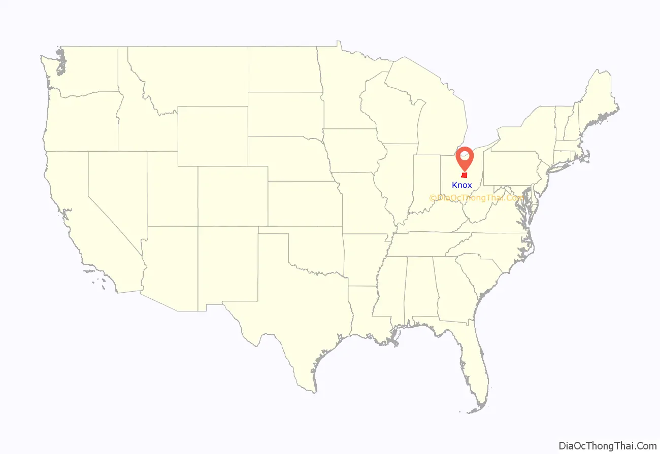
Knox County location map. Where is Knox County?
History
Knox County was formed from Fairfield County in 1808.
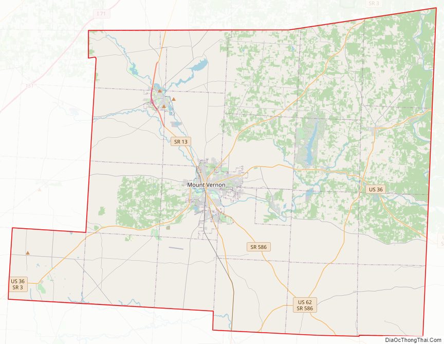
Knox County Road Map
Geography
According to the U.S. Census Bureau, the county has a total area of 530 square miles (1,400 km), of which 525 square miles (1,360 km) is land and 4.1 square miles (11 km) (0.8%) is water. Approximately 58% of the county is farmland and 28% is forested. Most of the county lies in the Glaciated Allegheny Plateau with rolling hills and valleys. Although the relief is not sharp, some elevations in the county reach over 1400 feet above sea level.
Adjacent counties
- Richland County (north)
- Ashland County (far northeast)
- Holmes County (northeast)
- Coshocton County (east)
- Licking County (south)
- Delaware County (southwest)
- Morrow County (northwest)
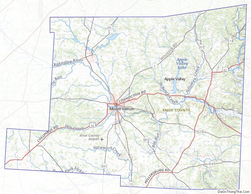
Knox County Topographic Map
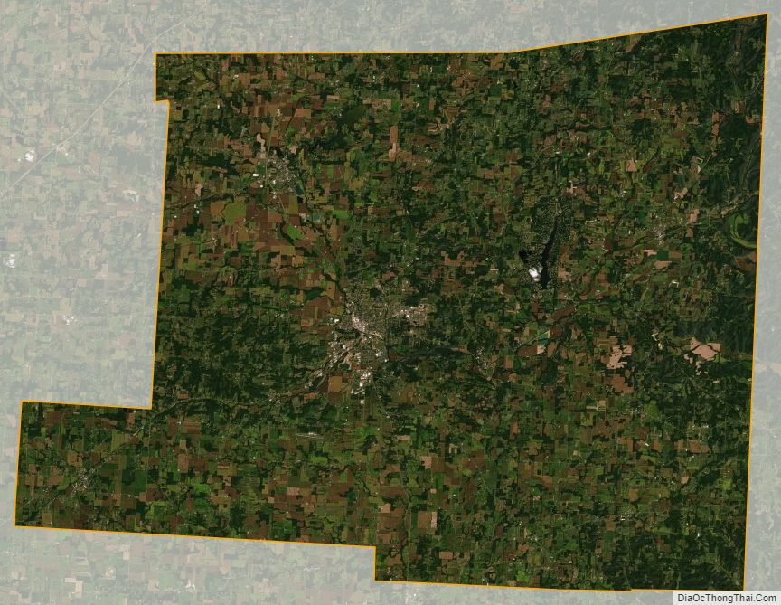
Knox County Satellite Map
Knox County Outline Map