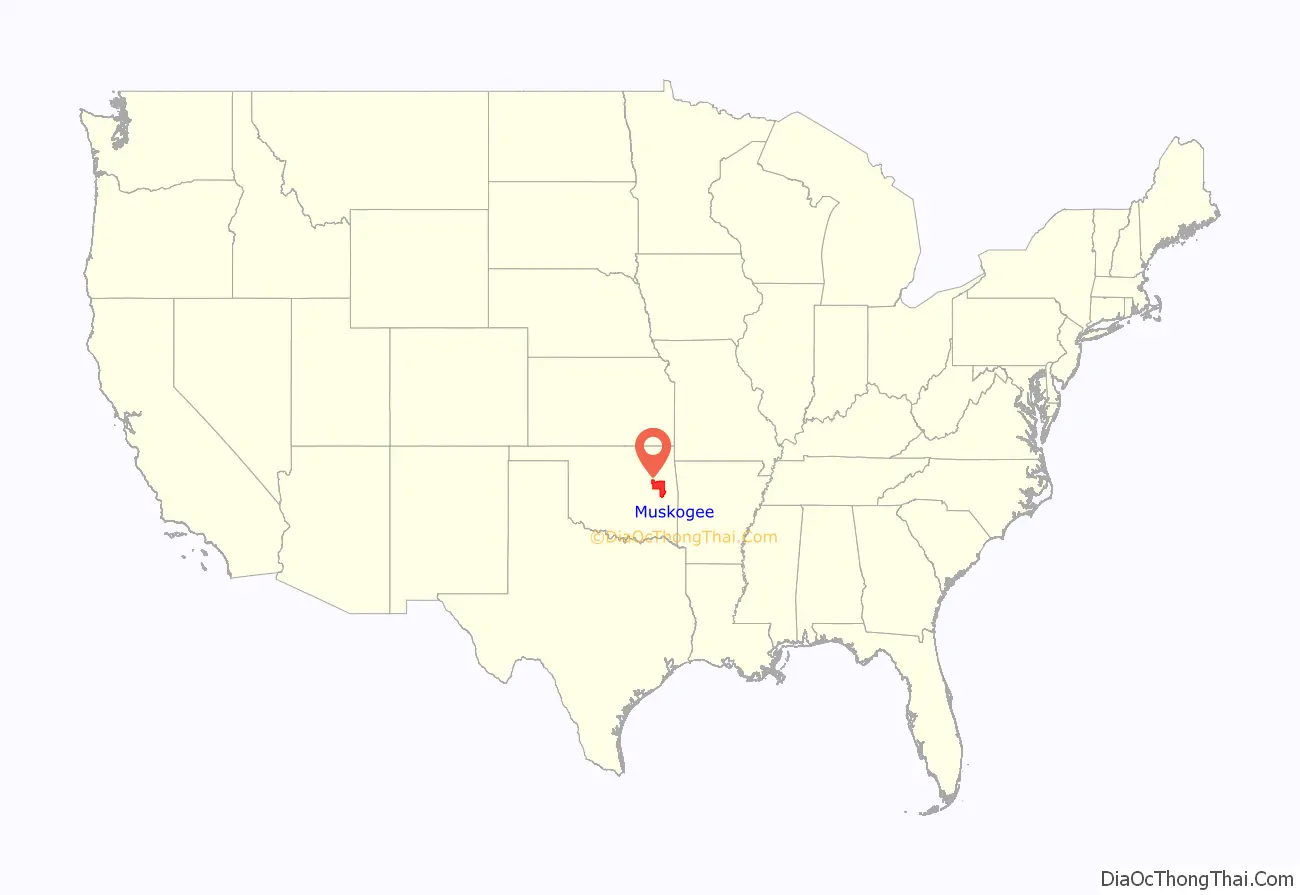
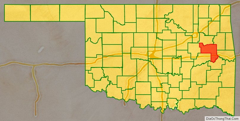
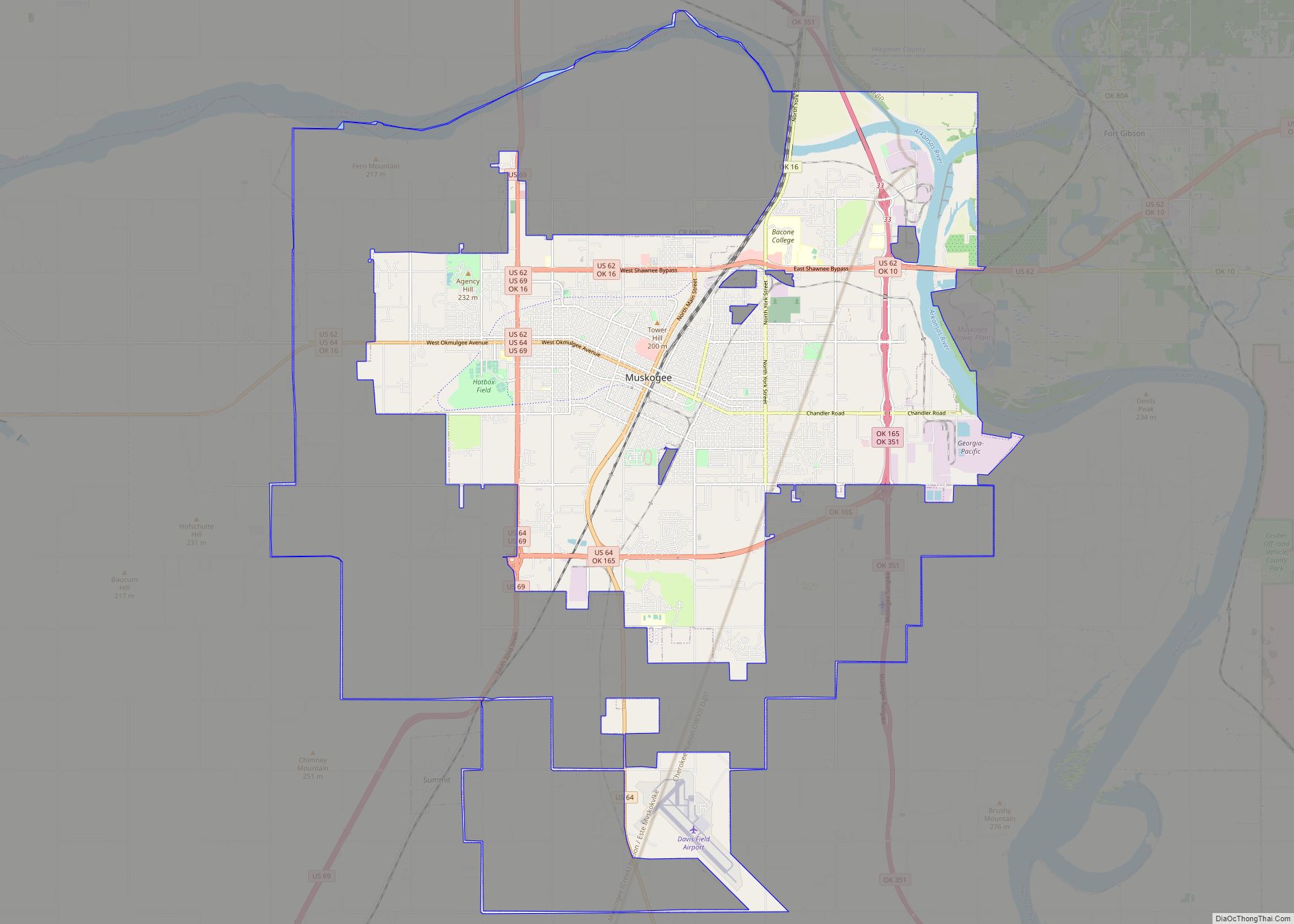
Muskogee County is a county located in the U.S. state of Oklahoma. As of the 2010 census, the population was 70,990. The county seat is Muskogee. The county and city were named for the Muscogee (Creek) Nation. The official spelling of the name was changed to Muskogee by the post office in 1900.
Muskogee County is part of the Muskogee, OK Micropolitan Statistical Area, which is included in the Tulsa-Muskogee-Bartlesville Combined Statistical Area.
| Name: | Muskogee County |
|---|---|
| FIPS code: | 40-101 |
| State: | Oklahoma |
| Founded: | 1907 |
| Named for: | Muscogee Nation |
| Seat: | Muskogee |
| Largest city: | Muskogee |
| Total Area: | 840 sq mi (2,200 km²) |
| Land Area: | 810 sq mi (2,100 km²) |
| Total Population: | 70,990 |
| Population Density: | 88/sq mi (34/km²) |
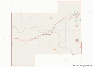
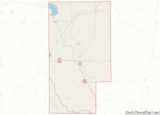
Muskogee County location map. Where is Muskogee County?
History
According to archaeological studies, prehistoric people lived in this area as long ago as the Paleo-Indian period (before 6,000 B. C.). However, archaeologists have made more extensive studies of those people known as the Mound Builders who lived here during the Caddoan Stage (A.D. 300 – 1200).
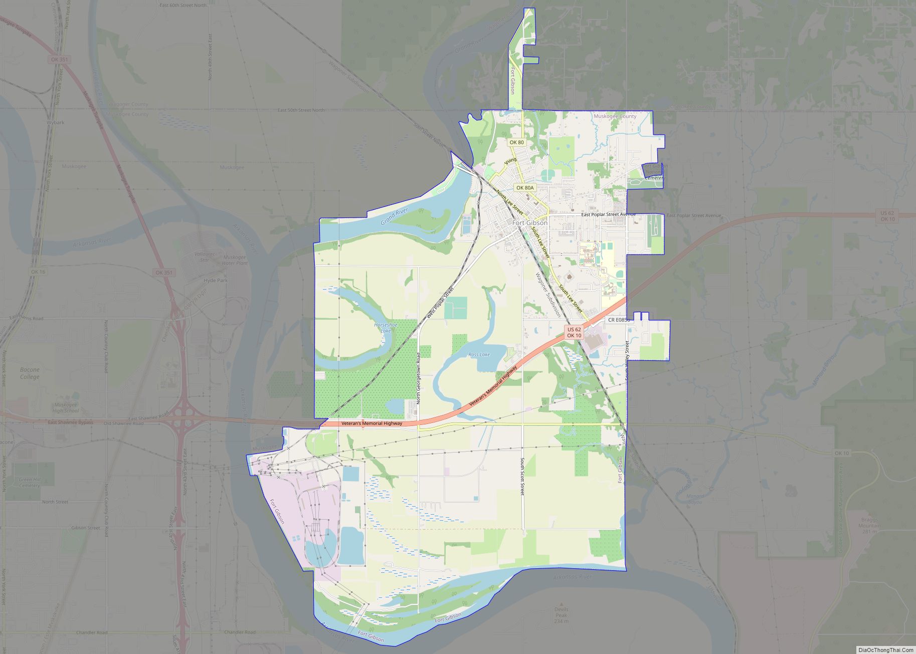
One of the first Europeans to come to this area was Jean Baptiste Bénard de la Harpe. He was a French explorer and trader who discovered a Wichita village in 1719. By the end of the 18th century the Wichita had been driven away by the more warlike Osage, who used this as their hunting ground. Auguste Pierre Chouteau and other fur traders had established a settlement at the Three Forks. Early in the 19th Century, Cherokee and Choctaw hunting parties made incursions that caused frequent conflict with the Osage. In 1824, the U.S. Army established Fort Gibson on the Grand River to dampen the conflict. The town of Fort Gibson that grew up just outside the fort claims to be the oldest town in Oklahoma.
At the start of the U. S. Civil War, Confederate troops of the Cherokee and Creek Home Guards built Fort Davis, across the Arkansas River from Fort Gibson. Federal troops attacked and destroyed Fort Davis in 1862, driving the Confederates from this area, although a few skirmishes occurred later in the war at Bayou Menard Skirmish (1862), several at Webbers Falls (1862), and the Creek Agency Skirmish (1863).
The county was formed at statehood with land from the Muskogee District of the Creek Nation and the Canadian and Illinois Districts of the Cherokee Nation. A post office named Muscogee had been established January 17, 1872. The official spelling of the name was changed to Muskogee on July 19, 1900.
After the Civil War, the Five Civilized Tribes, which included the Creeks, agreed to new treaties with the federal government. Among other provisions, they ceded their western lands back to the government and allowed rights of way to railroads. The Missouri, Kansas and Texas Railway (also called MKT or Katy) built a line into Indian Territory, near the Three Forks. Although railroad officials intended to build a depot at the site of Fort Davis, the terrain proved unsuitable, so they relocated the depot, which they named Muscogee, farther south. They also began the town of Oktaha 11 miles (18 km) farther south, in the same year.
Other railroads followed, such as the Kansas and Arkansas Valley Railway (1888, later the Missouri Pacific Railway), the Midland Valley Railroad (1904–05), the Ozark and Cherokee Central Railway (1901–03, sold to the St. Louis and San Francisco Railway, Frisco), the Shawnee, Oklahoma and Missouri Coal and Railway (1902–03, sold to the Frisco), the Muskogee Union Railway (1903–04, sold to the Missouri, Oklahoma and Gulf Railway [MOG]), and the MOG (1903–05, which became the Texas and Pacific Railroad).
In 1874, the federal government consolidated all of the Five Civilized Tribes agencies into one Union Agency, located just west of Muscogee. In 1889, a federal district court was created in Muscogee. In 1894, the Dawes Commission also established its headquarters there.
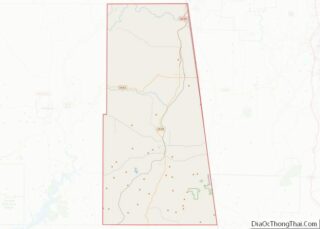
Muskogee County Road Map
Geography
According to the U.S. Census Bureau, the county has a total area of 840 square miles (2,200 km), of which 810 square miles (2,100 km) is land and 29 square miles (75 km) (3.5%) is water.
The western part of the county is prairie grassland, while the eastern part rises into the Cookson Hills, on the western edge of the Ozark Mountains. The Arkansas, Verdigris and Grand rivers all converge in the county, causing that area to be called “Three Forks.” Webbers Falls Lake on the Arkansas River covers part of the county.
Major highways
- Interstate 40
- U.S. Highway 62
- U.S. Highway 64
- U.S. Highway 69
- State Highway 2
- State Highway 10
- State Highway 16
- State Highway 72
- Muskogee Turnpike
Adjacent counties
- Wagoner County (north)
- Cherokee County (northeast)
- Sequoyah County (east)
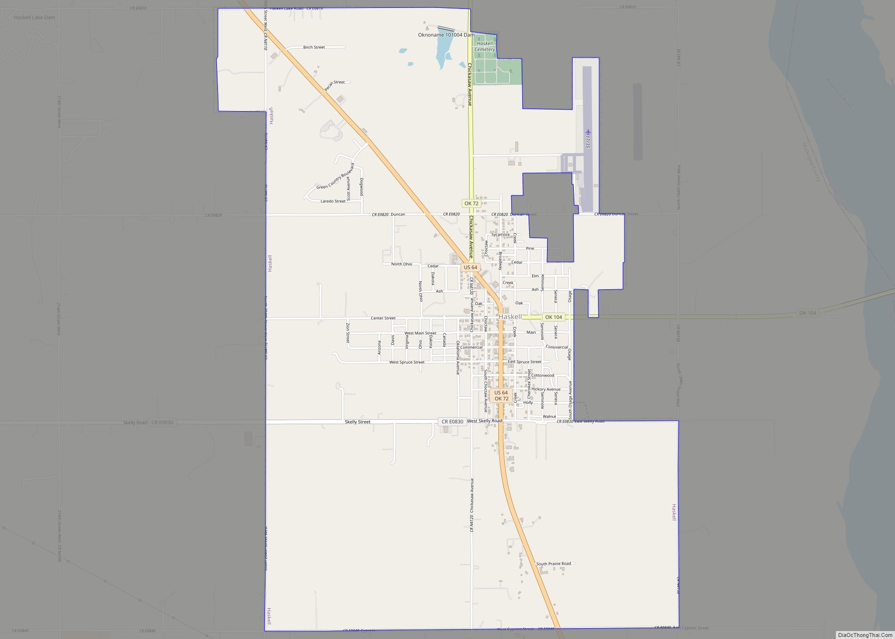
- Haskell County (southeast)
- McIntosh County (southwest)
- Okmulgee County (west)
National protected area
- Sequoyah National Wildlife Refuge (part)
