Haskell County is a county located in the southeast quadrant of the U.S. state of Oklahoma. As of the 2020 census, the population was 12,652. Its county seat is Stigler. The county is named in honor of Charles N. Haskell, the first governor of Oklahoma.
| Name: | Haskell County |
|---|---|
| FIPS code: | 40-061 |
| State: | Oklahoma |
| Founded: | 1907 |
| Named for: | Charles N. Haskell |
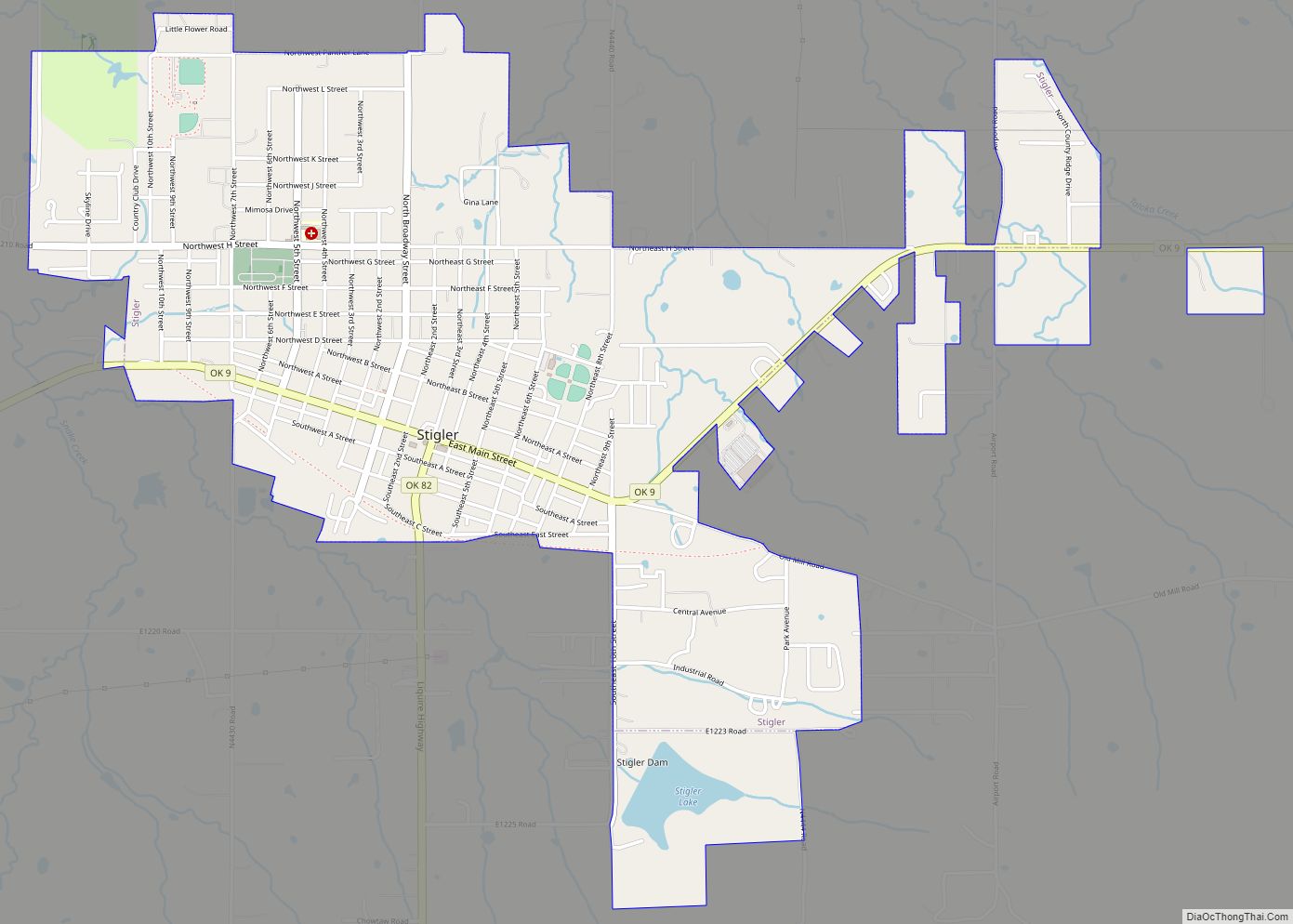
| Seat: | Stigler |
| Largest city: | Stigler |
| Total Area: | 625 sq mi (1,620 km²) |
| Land Area: | 577 sq mi (1,490 km²) |
| Total Population: | 12,769 |
| Population Density: | 22/sq mi (8/km²) |
| Time zone: | UTC−6 (Central) |
| Summer Time Zone (DST): | UTC−5 (CDT) |
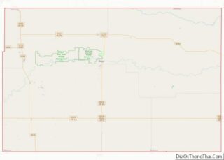
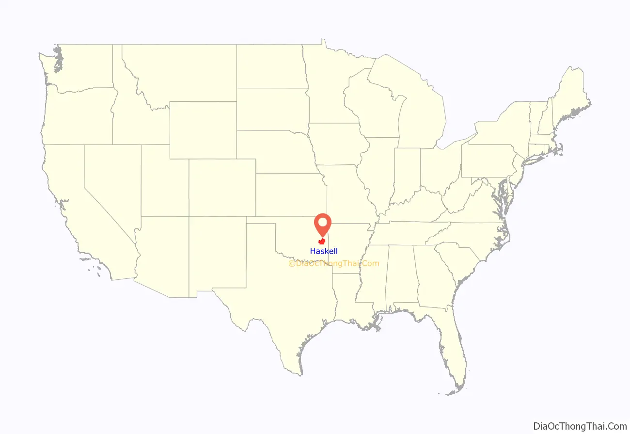
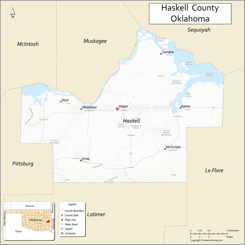
Haskell County location map. Where is Haskell County?
History
The area now comprising Haskell County was created at statehood primarily from the former Sans Bois County of the Choctaw Nation in Indian Territory. Sans Bois County was part of the Moshulatubbee District, one of three administrative super-regions comprising the Choctaw Nation. Small portions of present-day Haskell County fell within Gaines County and Skullyville County, Choctaw Nation.
In 1908 county voters picked Stigler over Keota and Whitefield as the county seat.
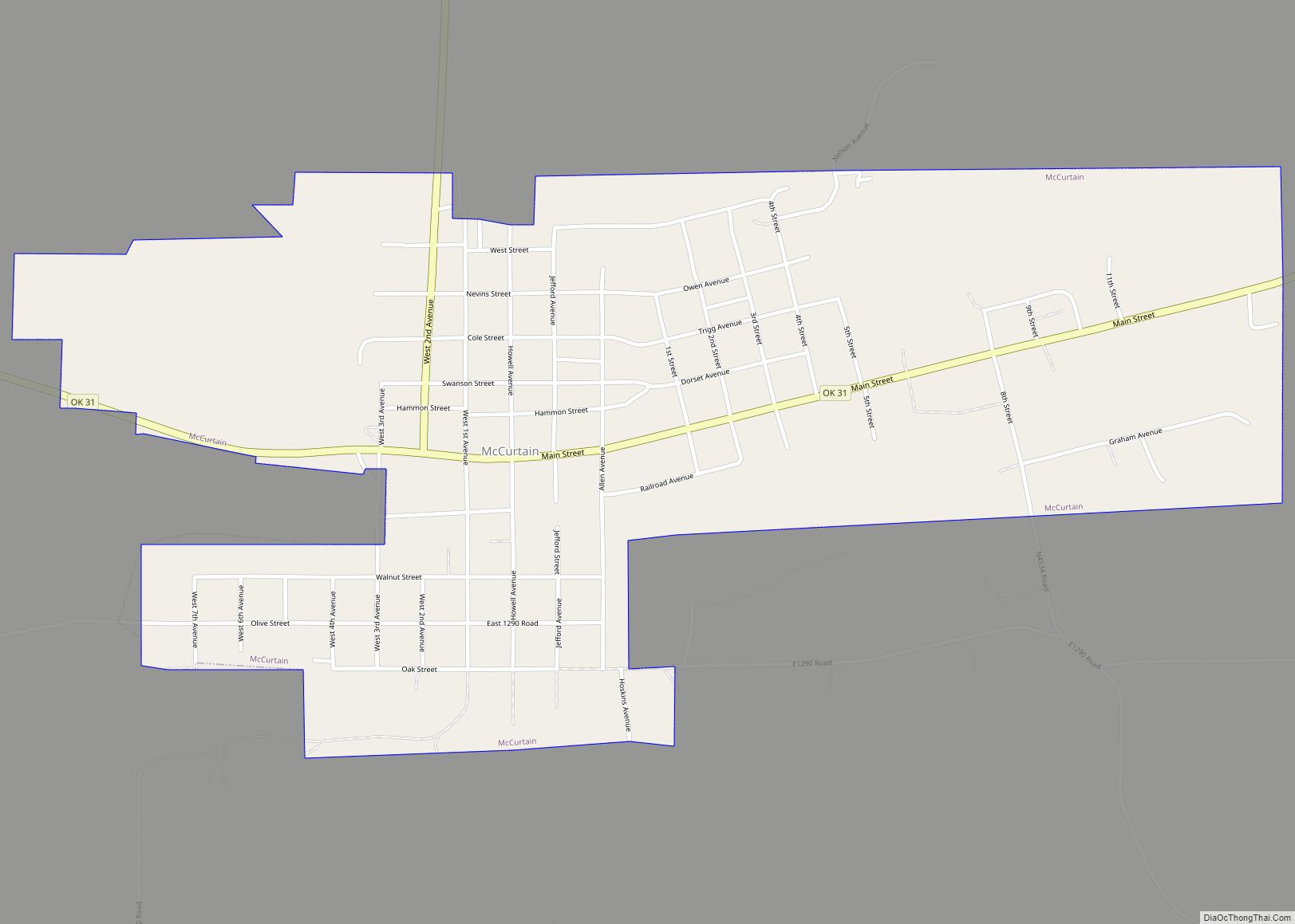
Underground coal mining was undertaken here in the early 20th century, creating jobs and attracting railroad construction to southern Haskell County. The San Bois Coal Company built more than four hundred company houses in McCurtain and Chant (two towns that eventually merged into one) for their miners. In 1912 a large, underground explosion rocked the Number Two mine at McCurtain, killing 73 (seventy-three) miners and bankrupting the San Bois Company. The McCurtain disaster and the declining demand for coal in the 1920s halted underground coal mining in the county.
Strip mining continued. The Lone Star Steel Company became the county’s leading coal producer. Haskell County was the source of 20 percent of Oklahoma’s coal production between 1950 and 1980.
Agriculture was the most important component of the county economy in the early 20th century. Cotton was the most important crop, followed by corn and oats. The collapse of cotton prices and the Great Depression caused a drop in population as well as farm acreage. In 1934 the Federal Emergency Relief Administration helped over 85 percent of Haskell County’s population. Ranching supplanted farming, which was forced to diversify. By 1964, livestock accounted for about 70 percent of the county’s revenues.
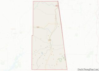
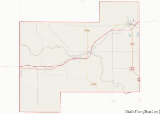
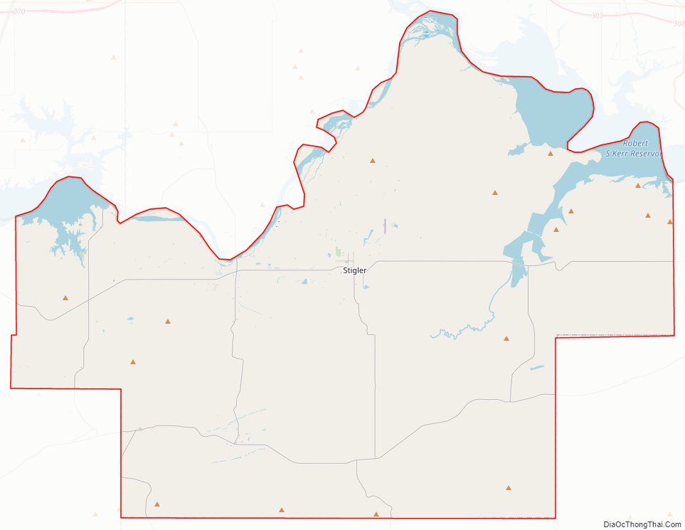
Haskell County Road Map
Geography
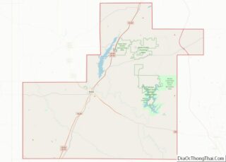
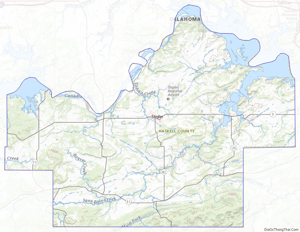
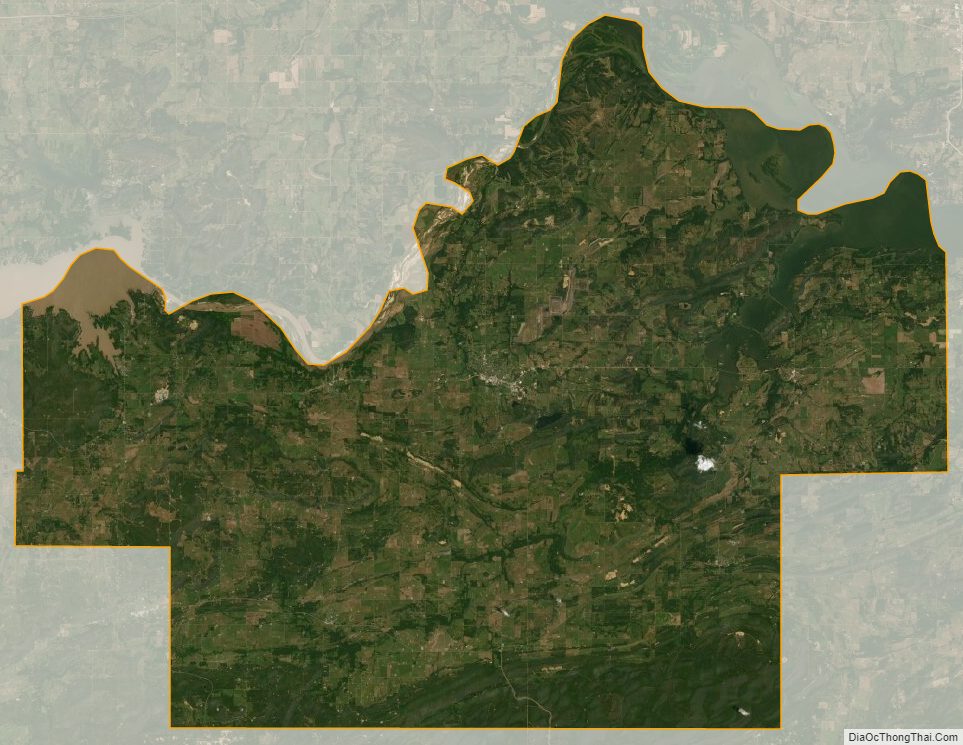
According to the U.S. Census Bureau, the county has a total area of 625 square miles (1,620 km), of which 577 square miles (1,490 km) is land and 49 square miles (130 km) (7.8%) is water. The county elevation varies because of the Sans Bois Mountains in the southern part of the county from 500 feet (150 m) to 1,500 feet (460 m).
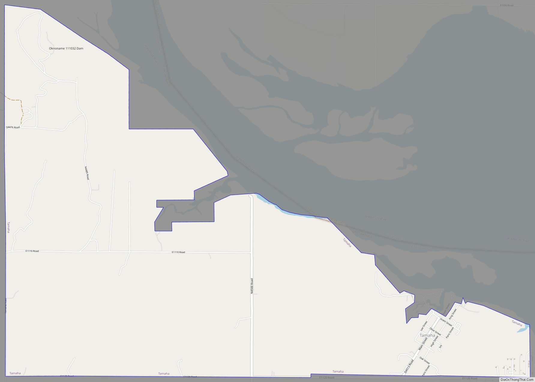
The relatively large water area results from the presence of Eufaula Lake and the Robert S. Kerr Reservoir. The South Canadian River forms the northern border with McIntosh and Muskogee counties before draining into the Arkansas River at the Robert S. Kerr Reservoir. The Arkansas is the northeastern border with Sequoyah County.
Major highways
- State Highway 2
- State Highway 9
- State Highway 31
- State Highway 71
- State Highway 82
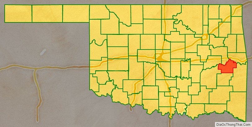
Adjacent counties
- Muskogee County (north)
- Sequoyah County (northeast)
- Le Flore County (east)
- Latimer County (south)
- Pittsburg County (west)
- McIntosh County (northwest)
National protected area
- Sequoyah National Wildlife Refuge (part)
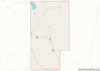
Haskell County Topographic Map
Haskell County Satellite Map
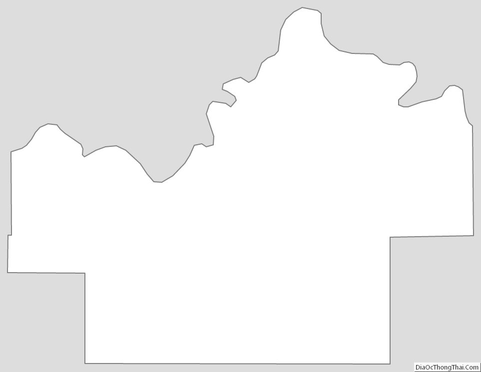
Haskell County Outline Map