Niobrara County is a county in the U.S. state of Wyoming. As of the 2020 United States Census, the population was 2,467, making it the least populous county in Wyoming. Its county seat is Lusk. Its eastern boundary abuts the west lines of the states of Nebraska and South Dakota.
| Name: | Niobrara County |
|---|---|
| FIPS code: | 56-027 |
| State: | Wyoming |
| Founded: | February 21, 1911 (authorized) 1913 (organized) |
| Named for: | Niobrara River |
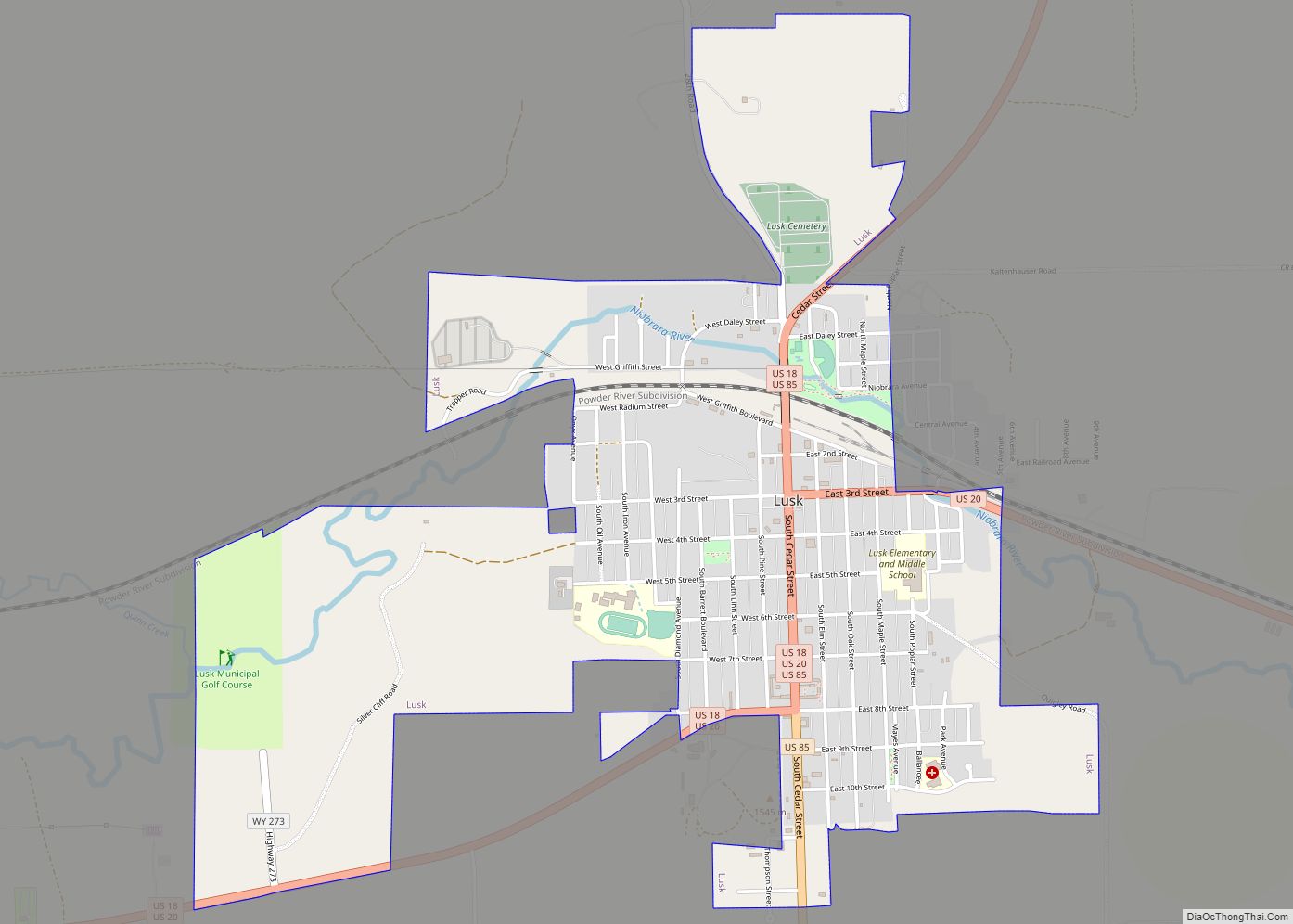
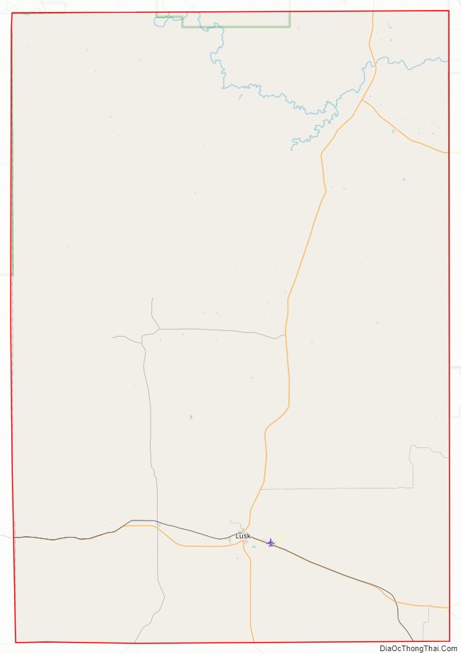
| Seat: | Lusk |
| Largest town: | Lusk |
| Total Area: | 2,628 sq mi (6,810 km²) |
| Land Area: | 2,626 sq mi (6,800 km²) |
| Total Population: | 2,467 |
| Population Density: | 0.94/sq mi (0.36/km²) |
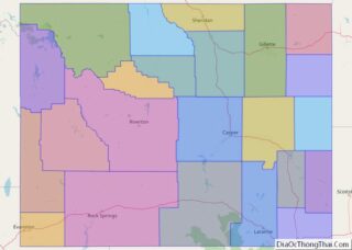
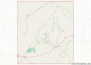
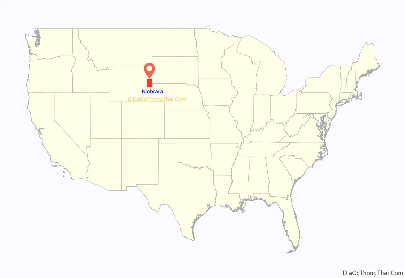
Niobrara County location map. Where is Niobrara County?
History
Niobrara County was created on February 21, 1911, of area annexed from Converse County. Its organization was established in 1913.
The county was named for the Niobrara River, which rises near Lusk.
Recently in 2006, Niobrara County was the site for a creepypasta known as “The Wyoming Incident.”
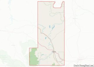
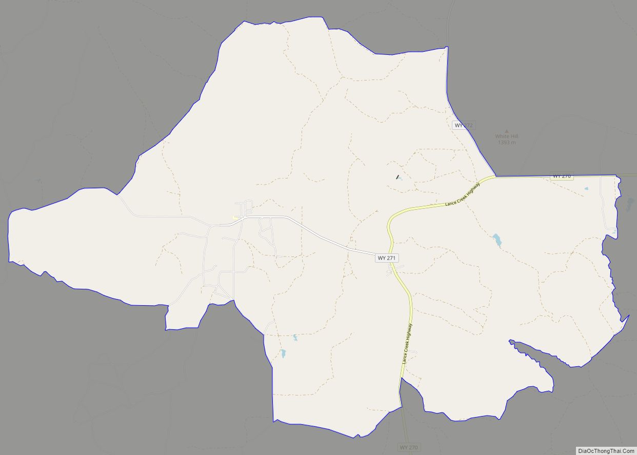
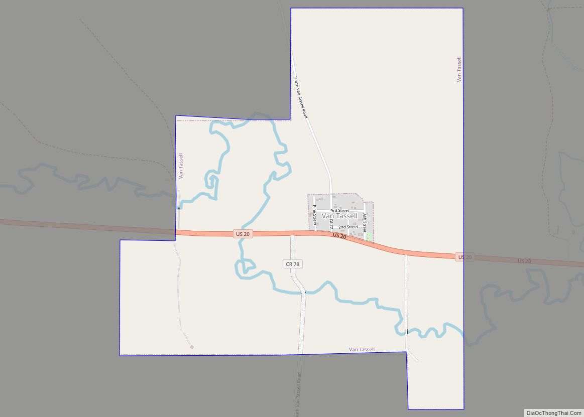
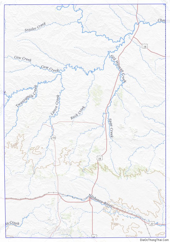
Niobrara County Road Map
Geography
According to the US Census Bureau, the county has a total area of 2,628 square miles (6,810 km), of which 2,626 square miles (6,800 km) is land and 1.9 square miles (4.9 km) (0.07%) is water.
In comparison to the state of Rhode Island, the county has more than twice the land area, with approximately 1/500 of the population.
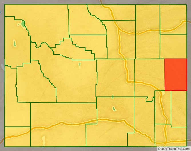
Adjacent counties
- Weston County – north
- Custer County, South Dakota – northeast
- Fall River County, South Dakota – east
- Sioux County, Nebraska – southeast
- Goshen County – south
- Platte County – southwest
- Converse County – west
Major Highways
- US 18
- US 20
- US 85
- WYO 270
- WYO 271
- WYO 272
- WYO 273
National protected area
- Thunder Basin National Grassland (part)
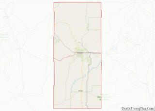
Niobrara County Topographic Map
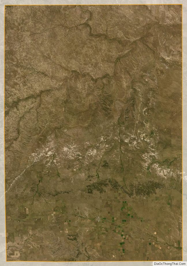
Niobrara County Satellite Map
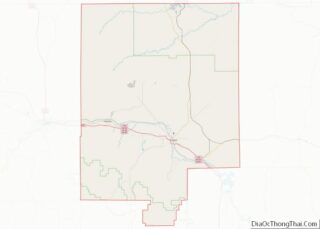
Niobrara County Outline Map