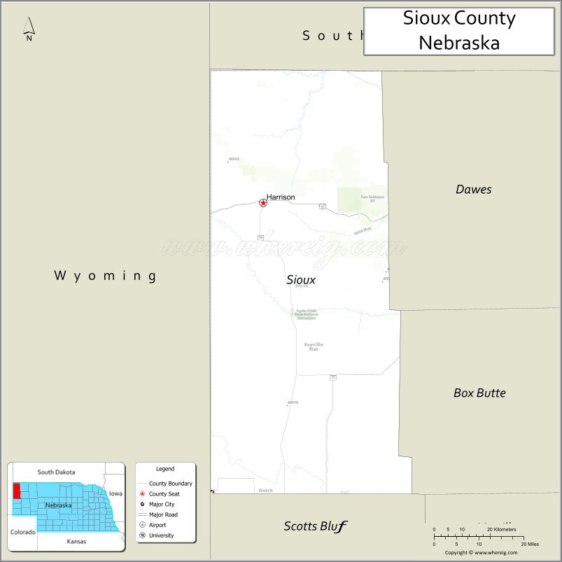
Sioux County is a county in the U.S. state of Nebraska. As of the 2010 United States Census, the population was 1,311. Its county seat is Harrison.
Sioux County is included in the Scottsbluff, NE Micropolitan Statistical Area.
In the Nebraska license plate system, Sioux County is represented by the prefix 80 (it had the 80th-largest number of vehicles registered in the state when the license plate system was established in 1922).
| Name: | Sioux County |
|---|---|
| FIPS code: | 31-165 |
| State: | Nebraska |
| Founded: | 1877 |
| Named for: | Sioux people |
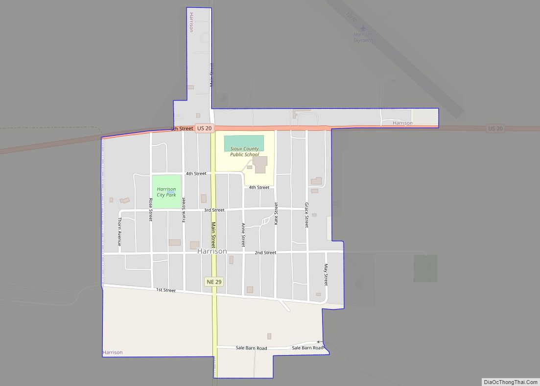
| Seat: | Harrison |
| Total Area: | 2,067 sq mi (5,350 km²) |
| Land Area: | 2,067 sq mi (5,350 km²) |
| Total Population: | 1,135 |
| Population Density: | 0.5/sq mi (0.2/km²) |
| Time zone: | UTC−7 (Mountain) |
| Summer Time Zone (DST): | UTC−6 (MDT) |
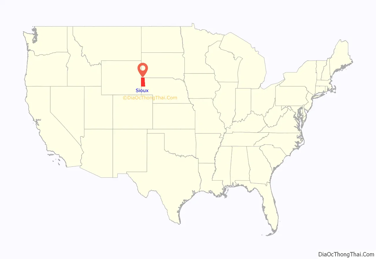
Sioux County location map. Where is Sioux County?
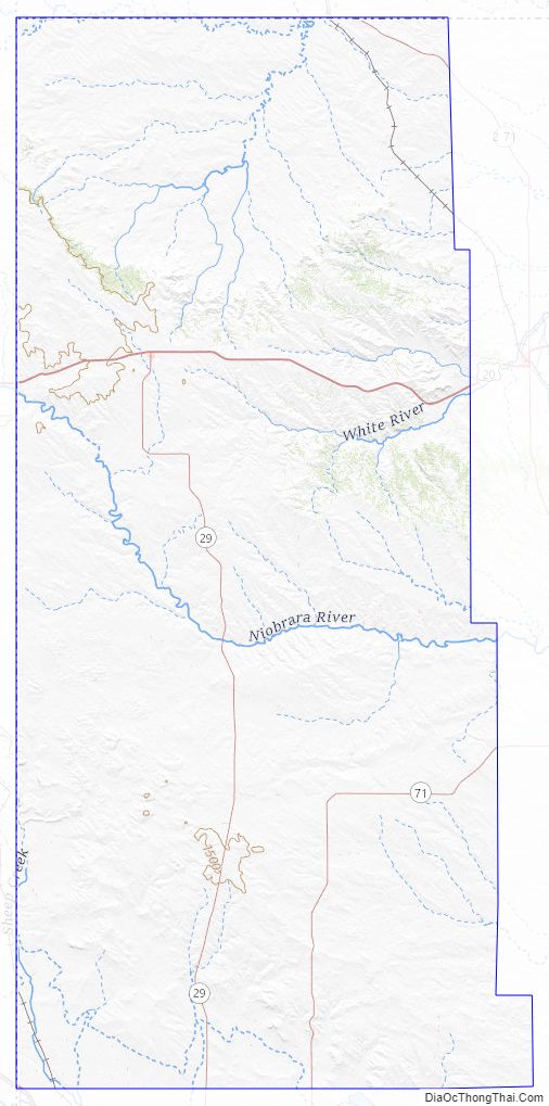
Sioux County Road Map
Geography
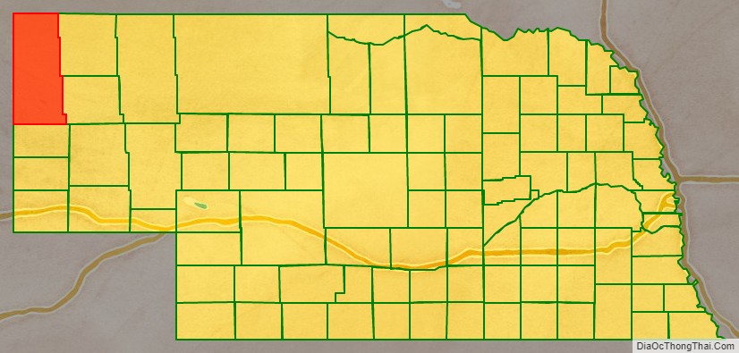
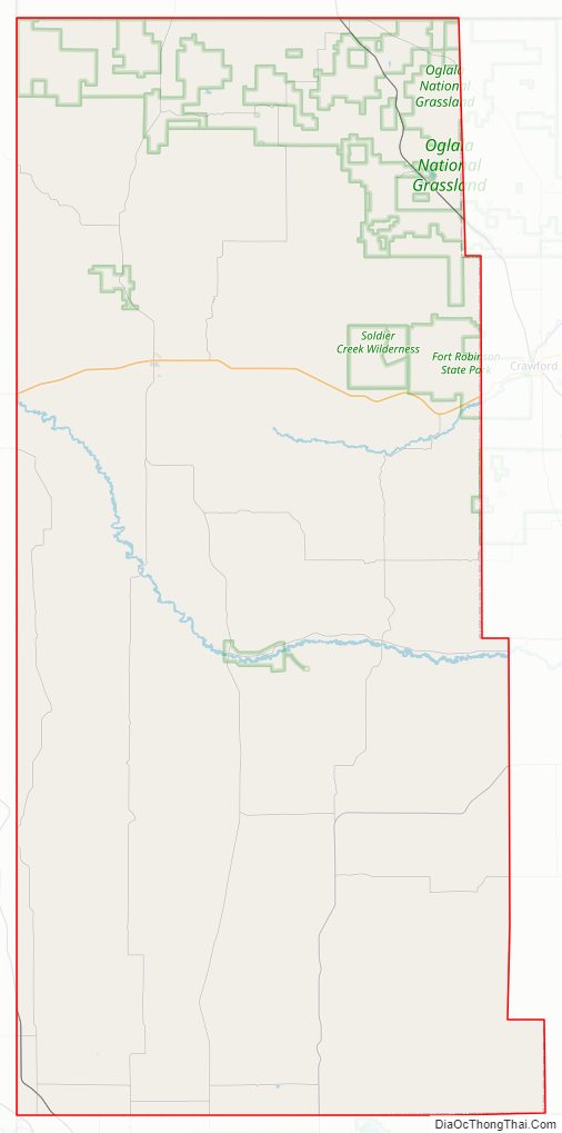
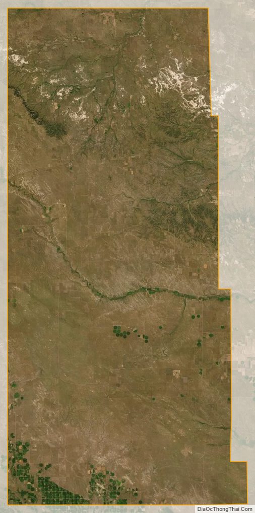
Sioux County lies at the NW corner of Nebraska. Its north boundary line abuts the south line of the state of South Dakota and its west boundary line abuts the east boundary line of the state of Wyoming. The Niobrara River flows southeastward and eastward through the upper central part of the county. The county terrain is arid low rolling hills, sloping to the east and southeast. The terrain is sparsely utilized for agriculture, with some center pivot irrigation used. The county has an area of 2,067 square miles (5,350 km), of which 2,067 square miles (5,350 km) is land and 0.7 square miles (1.8 km) (0.03%) is water.
Major highways
- US 20
- N-2
- N-29
- N-71
Protected areas
- Agate Fossil Beds National Monument
- Fort Robinson State Park (part)
- Gilbert-Baker Wildlife Area
- Nebraska National Forest (part)
- Peterson State Wildlife Area
- Soldier Creek Wilderness
- Oglala National Grassland (part)
- Toadstool Geologic Park
- Hudson-Meng Bison Kill
Adjacent counties
- Fall River County, South Dakota – north
- Dawes County – northeast
- Box Butte County – southeast
- Scotts Bluff County – south
- Goshen County, Wyoming – southwest
- Niobrara County, Wyoming – northwest
Sioux County Topographic Map
Sioux County Satellite Map
Sioux County Outline Map