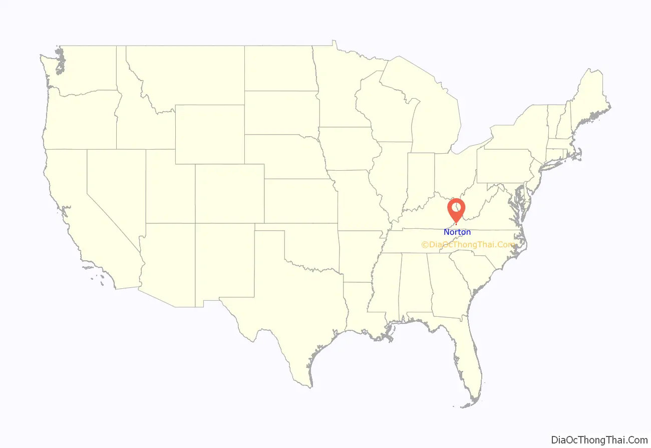
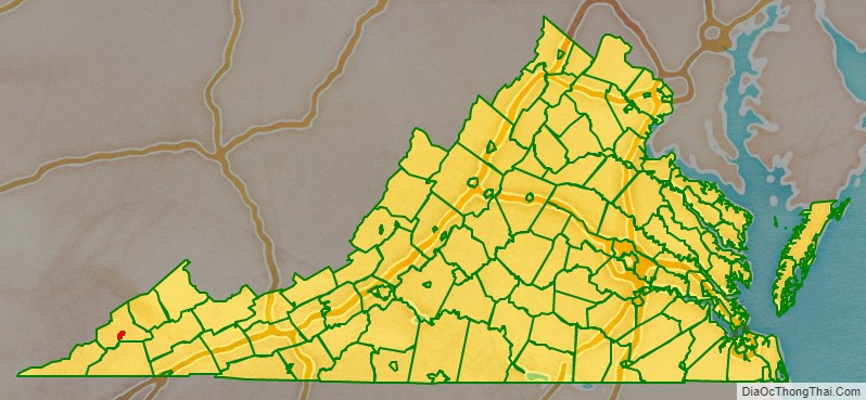
Norton is an independent city in the Commonwealth of Virginia, located in the far western tip of the state in Wise County, Virginia. As of the 2020 census, the population was 3,687, making it the least populous city in Virginia. The Bureau of Economic Analysis combines the city of Norton with surrounding Wise County for statistical purposes.
| Name: | Norton City |
|---|---|
| FIPS code: | 51-720 |
| State: | Virginia |
| Founded: | 1894 |
| Named for: | Eckstein Norton |
| Total Area: | 7.51 sq mi (19.46 km²) |
| Land Area: | 7.48 sq mi (19.37 km²) |
| Total Population: | 3,687 |
| Population Density: | 490/sq mi (190/km²) |
Norton City location map. Where is Norton City?
History
The settlement was originally known as “Prince’s Flats,” but in a bid to convince the Louisville and Nashville Railroad to build a depot there, the town was renamed after the then-current head of the railroad, Eckstein Norton. Norton was located on the Wilderness Trail, which had been blazed by Daniel Boone, and later extensively mapped and settled by Christopher Gist. The settlement developed as a central hub for the timber trade until the coal boom of the 1830-40s.
The Hotel Norton is listed on the National Register of Historic Places.
Norton City Road Map
Geography
Norton is located along the Powell and Guest Rivers. The entire area of Norton lies within the confines of Wise County, but is not a part of the county.
According to the United States Census Bureau, the city has a total area of 7.5 square miles (19 km), virtually all of which is land.
Major highways
- US 23
- US 58 Alt.


