Noxubee County is a county located in the U.S. state of Mississippi. As of the 2020 census, its population was 10,285. Its county seat is Macon. The name is derived from the Choctaw word nakshobi meaning “to stink”.
| Name: | Noxubee County |
|---|---|
| FIPS code: | 28-103 |
| State: | Mississippi |
| Founded: | 1833 |
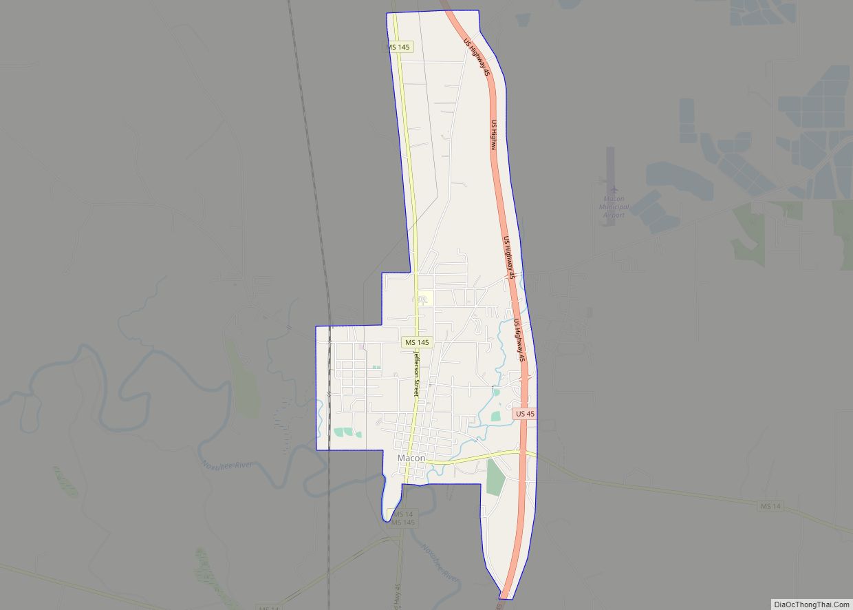
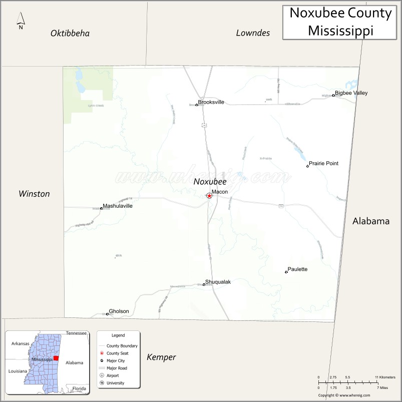
| Seat: | Macon |
| Largest city: | Macon |
| Total Area: | 700 sq mi (2,000 km²) |
| Land Area: | 695 sq mi (1,800 km²) |
| Total Population: | 10,285 |
| Population Density: | 15/sq mi (5.7/km²) |
| Time zone: | UTC−6 (Central) |
| Summer Time Zone (DST): | UTC−5 (CDT) |
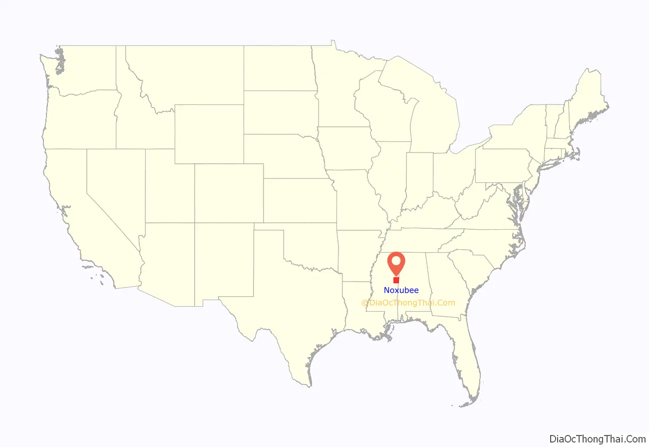
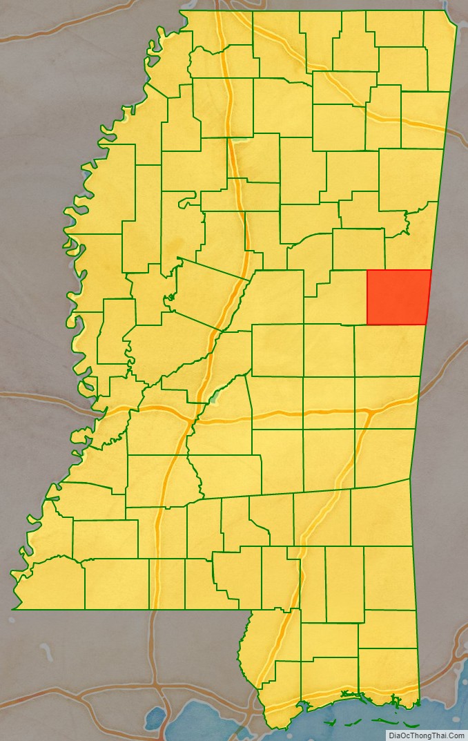
Noxubee County location map. Where is Noxubee County?
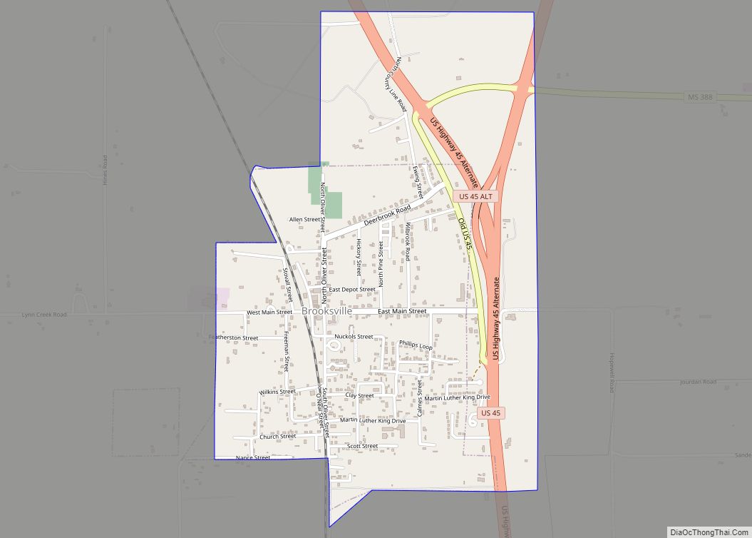
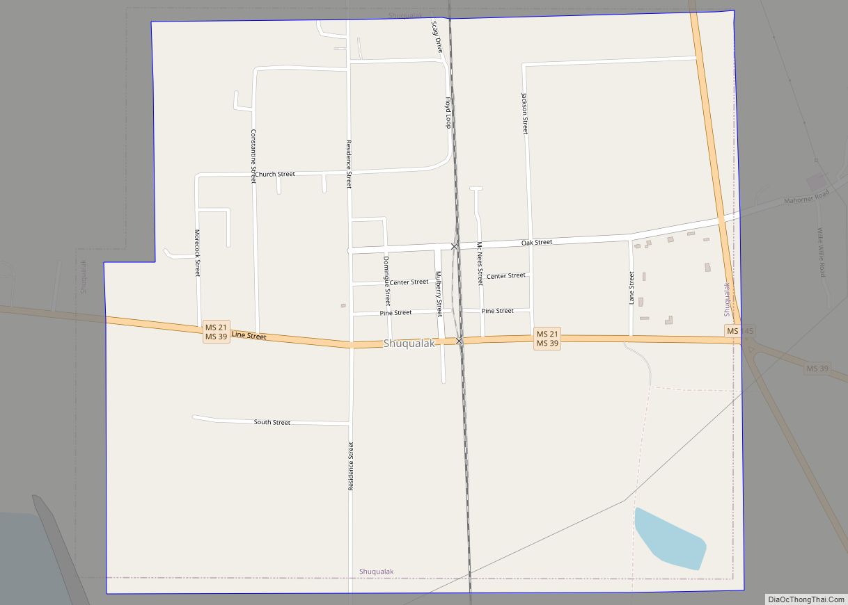
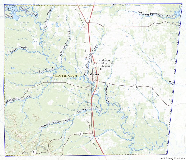
Noxubee County Road Map
Geography
According to the U.S. Census Bureau, the county has a total area of 700 square miles (1,800 km), of which 4.8 square miles (12 km) (0.7%) is covered by water.
Major highways
- U.S. Highway 45
- Mississippi Highway 14
- Mississippi Highway 21
- Mississippi Highway 39
Adjacent counties
- Lowndes County (north)
- Pickens County, Alabama (east)
- Sumter County, Alabama (southeast)
- Kemper County (south)
- Winston County (west)
- Oktibbeha County (northwest)
National protected area
- Noxubee National Wildlife Refuge (part)
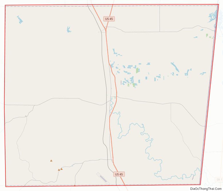
Noxubee County Topographic Map
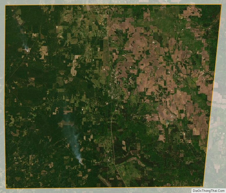
Noxubee County Satellite Map
Noxubee County Outline Map