Macon is a city in Noxubee County, Mississippi along the Noxubee River. The population was 2,768 at the 2010 census. It is the county seat of Noxubee County.
| Name: | Macon city |
|---|---|
| LSAD Code: | 25 |
| LSAD Description: | city (suffix) |
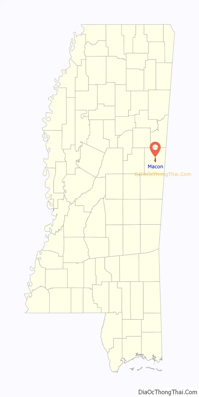
| State: | Mississippi |
| County: | Noxubee County |
| Elevation: | 197 ft (60 m) |
| Total Area: | 3.85 sq mi (9.98 km²) |
| Land Area: | 3.83 sq mi (9.92 km²) |
| Water Area: | 0.02 sq mi (0.06 km²) |
| Total Population: | 2,582 |
| Population Density: | 674.33/sq mi (260.34/km²) |
| ZIP code: | 39341 |
| Area code: | 662 |
| FIPS code: | 2844240 |
| GNISfeature ID: | 0673046 |
| Website: | www.cityofmacon.org |
Online Interactive Map
Click on ![]() to view map in "full screen" mode.
to view map in "full screen" mode.
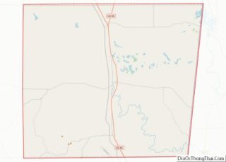
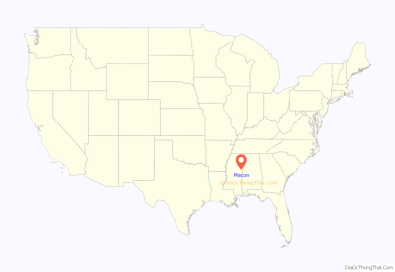
Macon location map. Where is Macon city?
History
In 1817, Jackson’s Military Road was built at the urging of Andrew Jackson to provide a direct connection between Nashville and New Orleans. The road crossed the Noxubee River just west of Macon, located at the old Choctaw village of Taladega, now the site of the local golf club. The road declined in importance in the 1840s, largely due to the difficulty of travel in the swamps surrounding the Noxubee River in and west of Macon.
The route for the most part was replaced by the Robinson Road, which ran through Agency and Louisville before joining the Natchez Trace, bypassing Macon.
On September 15, 1830, US government officials met with an audience of 6,000 Choctaw men, women and children at Dancing Rabbit Creek to explain the policy of removal through interpreters. The Choctaws faced migration west of the Mississippi River or submitting to U.S. and state law as citizens.
The treaty would sign away the remaining traditional homeland to the United States; however, a provision in the treaty made removal more acceptable.
The town was named Macon on August 10, 1835 in honor of Nathaniel Macon, a statesman from North Carolina.
The city served as the capital for the state of Mississippi during the Civil War from 1863 onward.
The legislature was housed in the Calhoun Institute, which also housed Governor Charles Clark’s office and served as one of several hospital sites in Macon.
In October 1865, Governor Benjamin Humphreys attempted to retrieve the furniture from the governor’s mansion to Jackson, however it had been either destroyed or stolen.
On June 27, 1919, in an incident described as part of the Red Summer, a mob of white citizens including a banker and a deputy sheriff, among many others, attacked prominent black citizens. On May 20, 1927, Dan Anderson was lynched in Macon.
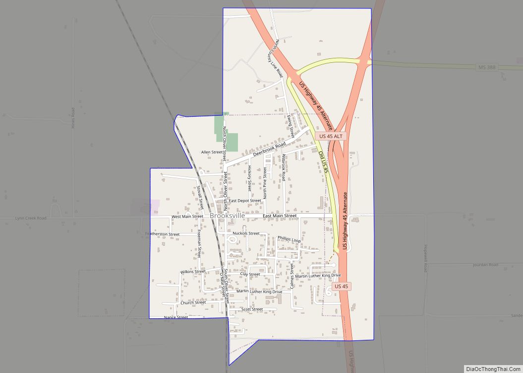
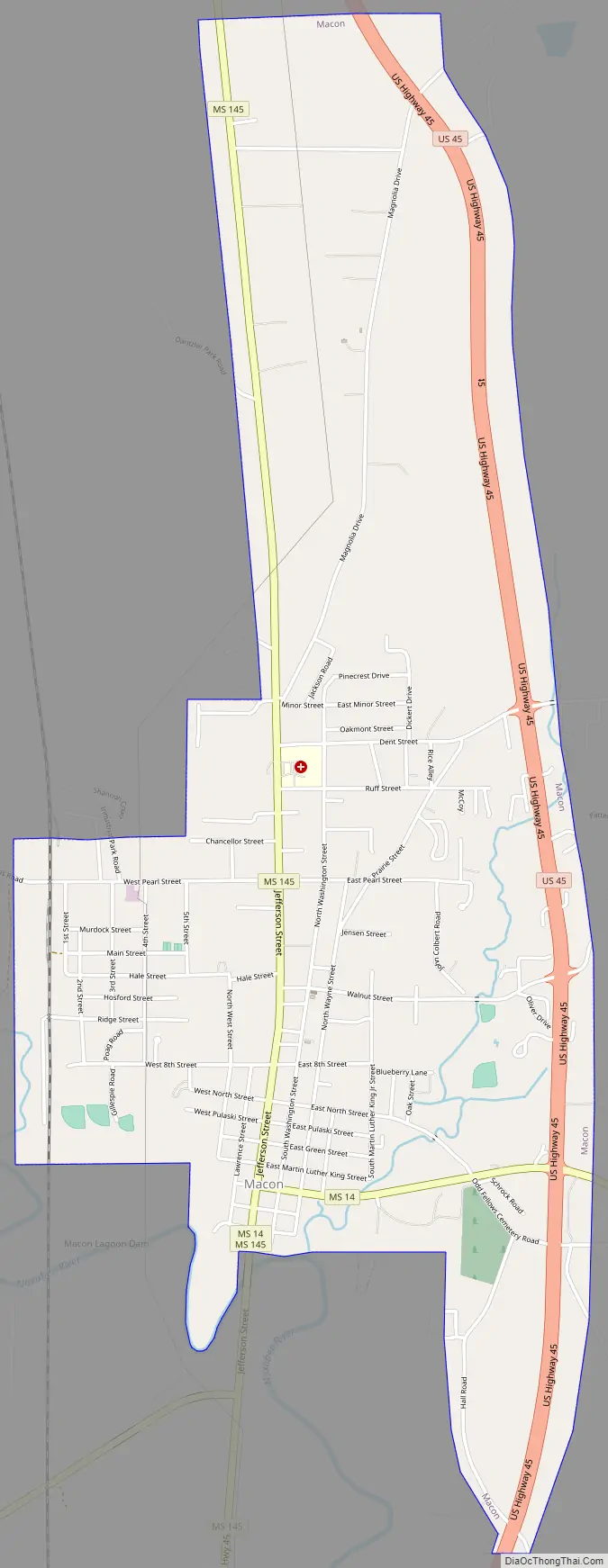
Macon Road Map
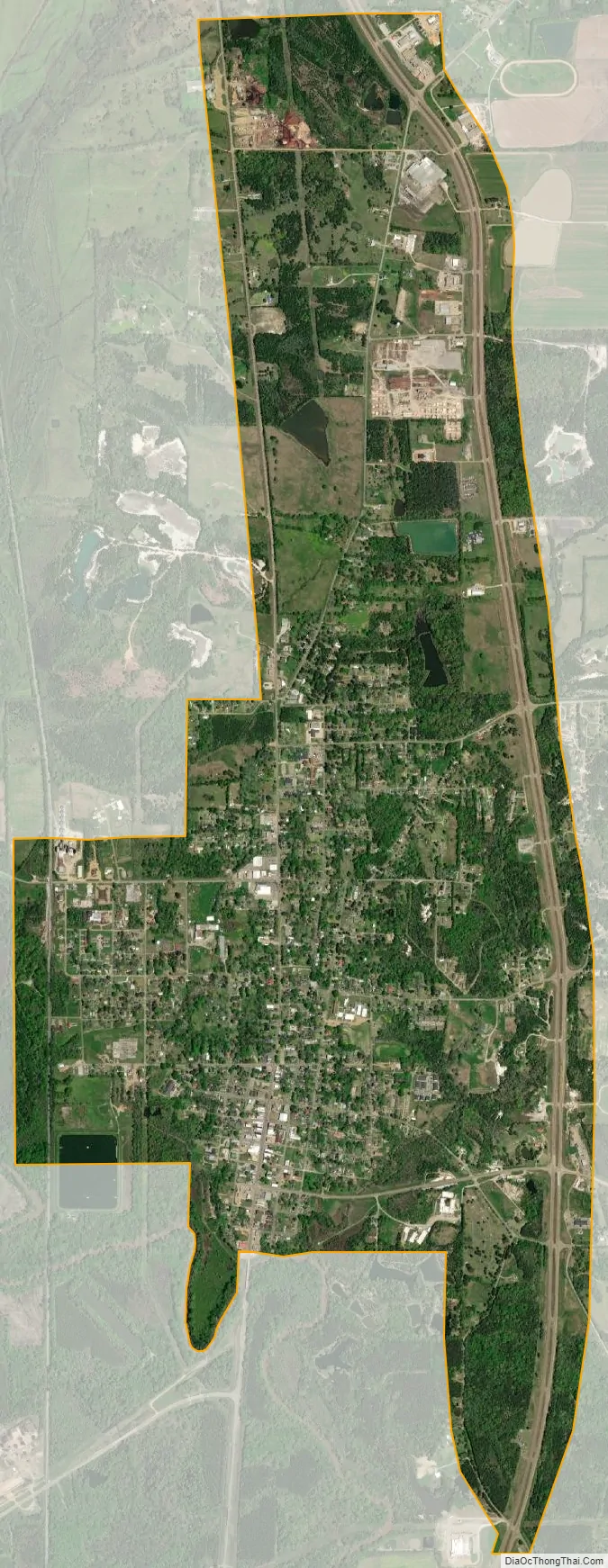
Macon city Satellite Map
Geography
According to the United States Census Bureau, the city has a total area of 1.5 square miles (3.9 km), all land.
See also
Map of Mississippi State and its subdivision:- Adams
- Alcorn
- Amite
- Attala
- Benton
- Bolivar
- Calhoun
- Carroll
- Chickasaw
- Choctaw
- Claiborne
- Clarke
- Clay
- Coahoma
- Copiah
- Covington
- Desoto
- Forrest
- Franklin
- George
- Greene
- Grenada
- Hancock
- Harrison
- Hinds
- Holmes
- Humphreys
- Issaquena
- Itawamba
- Jackson
- Jasper
- Jefferson
- Jefferson Davis
- Jones
- Kemper
- Lafayette
- Lamar
- Lauderdale
- Lawrence
- Leake
- Lee
- Leflore
- Lincoln
- Lowndes
- Madison
- Marion
- Marshall
- Monroe
- Montgomery
- Neshoba
- Newton
- Noxubee
- Oktibbeha
- Panola
- Pearl River
- Perry
- Pike
- Pontotoc
- Prentiss
- Quitman
- Rankin
- Scott
- Sharkey
- Simpson
- Smith
- Stone
- Sunflower
- Tallahatchie
- Tate
- Tippah
- Tishomingo
- Tunica
- Union
- Walthall
- Warren
- Washington
- Wayne
- Webster
- Wilkinson
- Winston
- Yalobusha
- Yazoo
- Alabama
- Alaska
- Arizona
- Arkansas
- California
- Colorado
- Connecticut
- Delaware
- District of Columbia
- Florida
- Georgia
- Hawaii
- Idaho
- Illinois
- Indiana
- Iowa
- Kansas
- Kentucky
- Louisiana
- Maine
- Maryland
- Massachusetts
- Michigan
- Minnesota
- Mississippi
- Missouri
- Montana
- Nebraska
- Nevada
- New Hampshire
- New Jersey
- New Mexico
- New York
- North Carolina
- North Dakota
- Ohio
- Oklahoma
- Oregon
- Pennsylvania
- Rhode Island
- South Carolina
- South Dakota
- Tennessee
- Texas
- Utah
- Vermont
- Virginia
- Washington
- West Virginia
- Wisconsin
- Wyoming