Owen County is a county located in the northern part of the U.S. state of Kentucky. Its county seat is Owenton. The county is named for Colonel Abraham Owen. It is a prohibition or dry county, with the exception of a winery that is authorized to sell its product to the public, and limited sales within the incorporated city limits of Owenton.
| Name: | Owen County |
|---|---|
| FIPS code: | 21-187 |
| State: | Kentucky |
| Founded: | 1819 |
| Named for: | Abraham Owen |
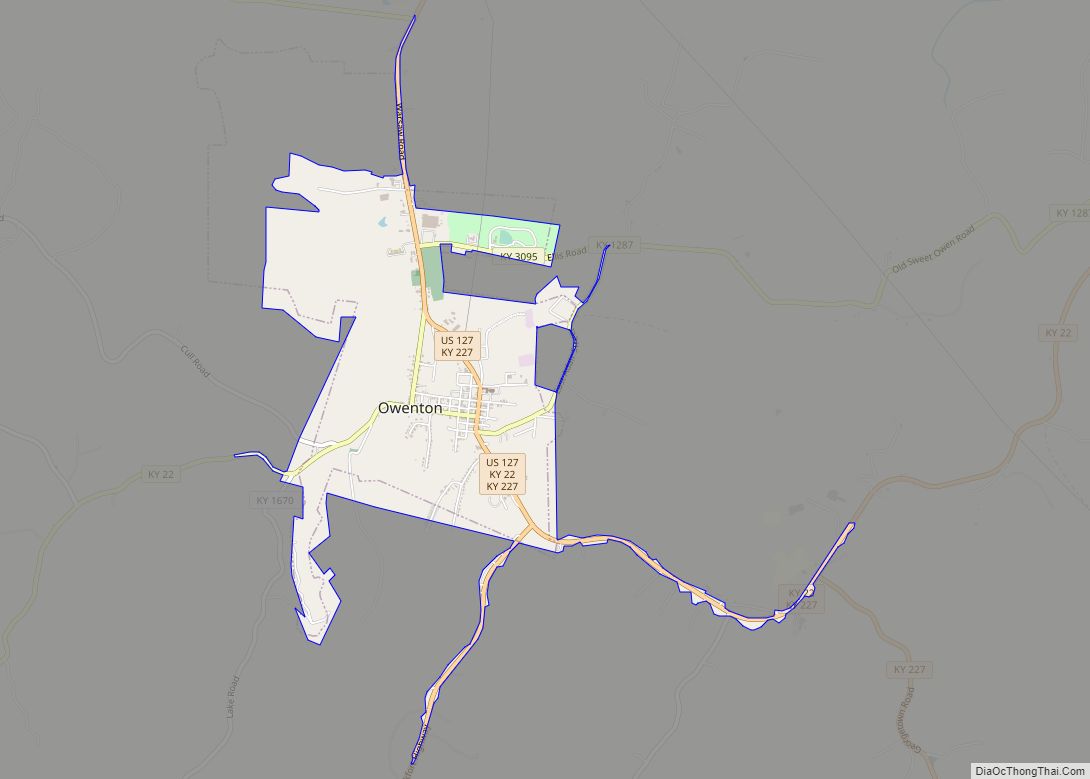
| Seat: | Owenton |
| Largest city: | Owenton |
| Total Area: | 354 sq mi (920 km²) |
| Land Area: | 351 sq mi (910 km²) |
| Total Population: | 11,278 |
| Population Density: | 32/sq mi (12/km²) |
| Time zone: | UTC−5 (Eastern) |
| Summer Time Zone (DST): | UTC−4 (EDT) |
| Website: | www.owencountyky.us |
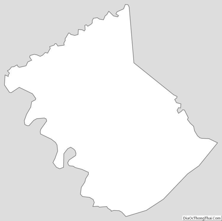
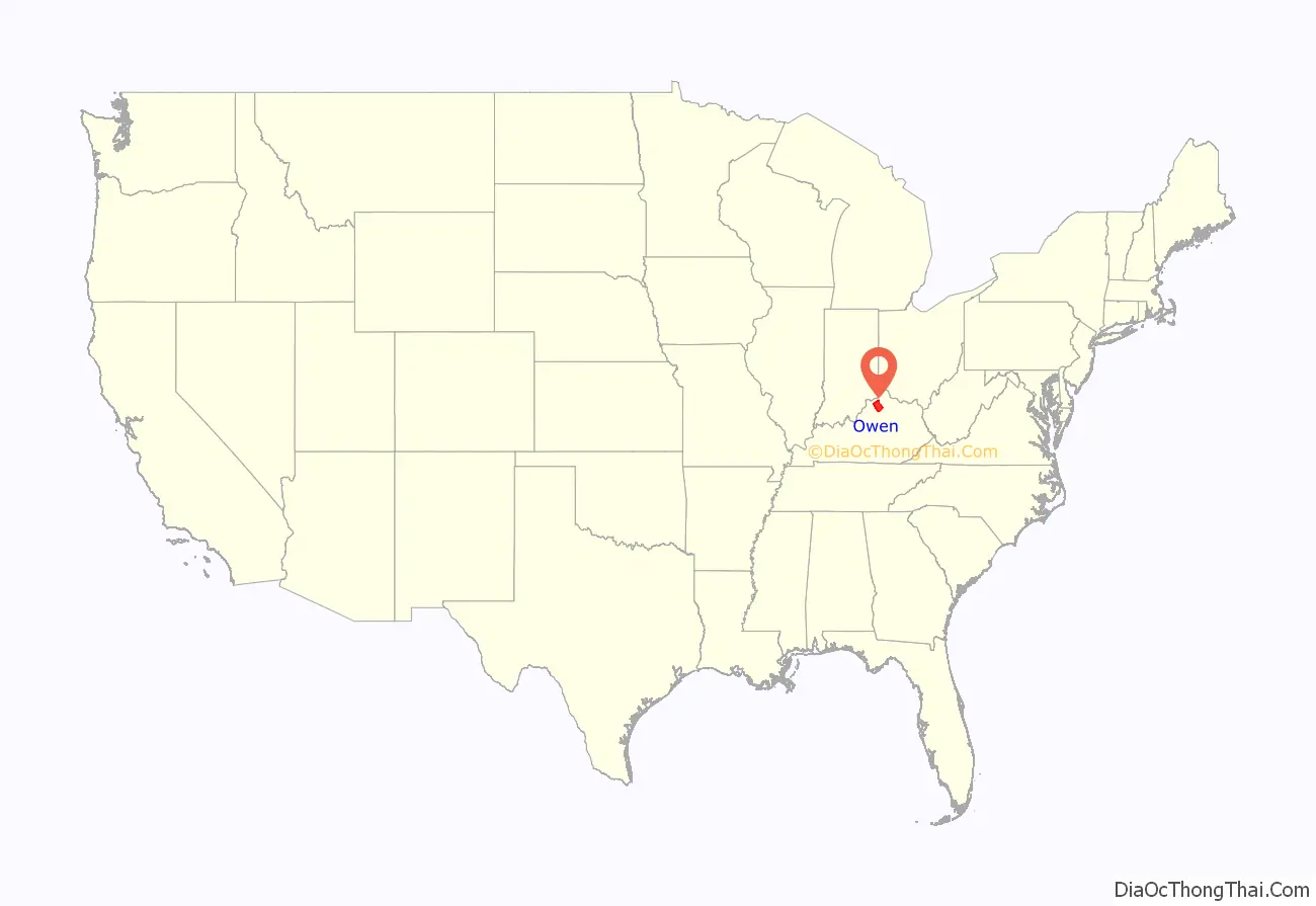
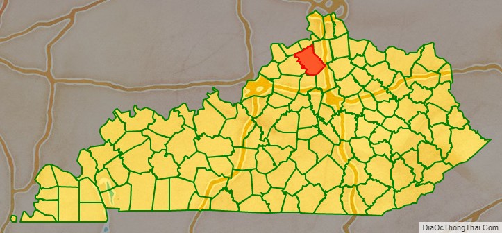
Owen County location map. Where is Owen County?
History
Numerous Native American burial mounds were located in Owen County. Many pioneers made their homes on land grants along the many streams which flow through the county.
Owen County was formed as the 63rd county by the Commonwealth of Kentucky and approved February 6, 1819. It was formed from the counties of Franklin, Scott, Gallatin, and Pendleton. Hesler (Heslerville) was the first county seat. Owen County was named after Abraham Owen, an Indian fighter and Kentucky legislator, who was killed at the Battle of Tippecanoe. Colonel Owen also surveyed and mapped the region that became Owen County. On November 16, 1820, the legislature passed another act which restored to Franklin County part or all of what was taken from it under the 1819 act. To compensate for this, the legislature took some more land from Gallatin County and gave it to Owen by act dated December 26, 1820. Therefore, Hesler was no longer in the center of the county. Accordingly, on January 15, 1822, the county court ordered that the seat of justice be removed to land owned by Andrew Parker, James Hess, and William H. Forsee. The town Owenton was developed. Court was held at the new county seat on February 11, 1822.
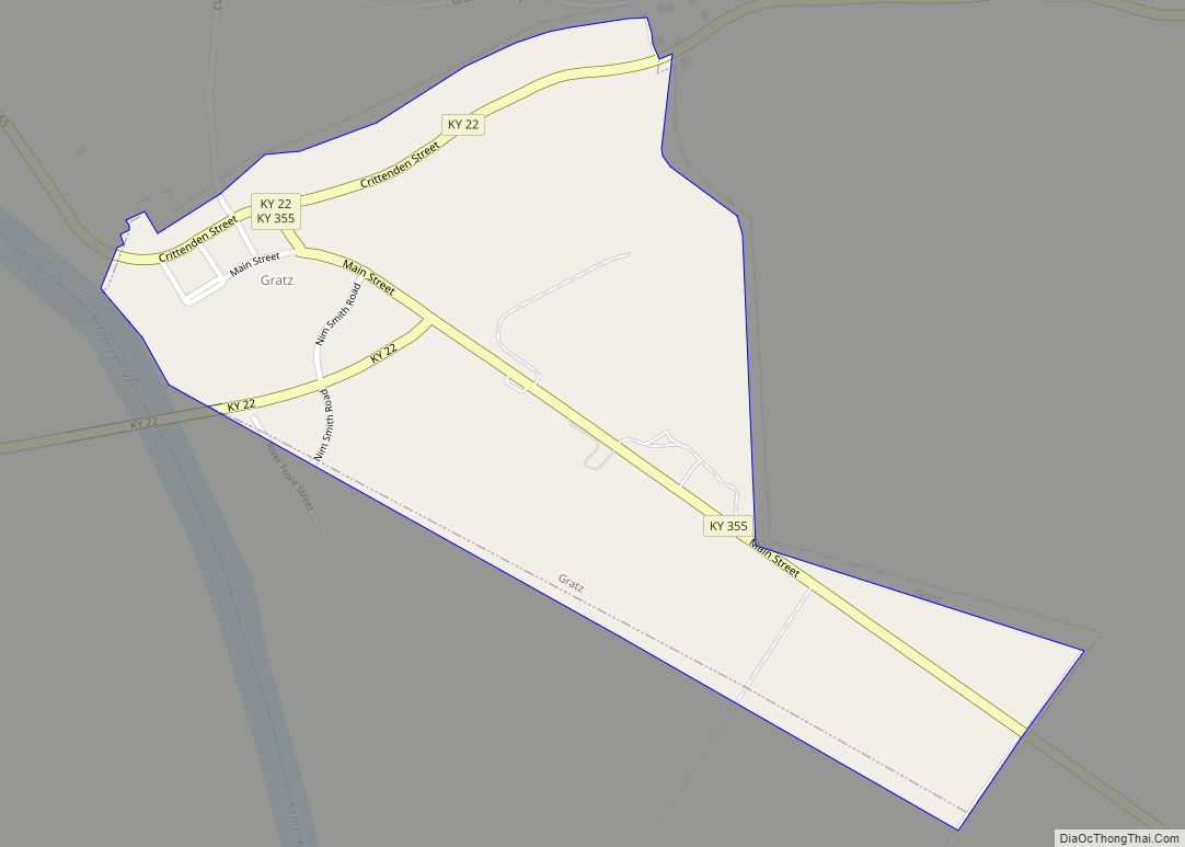
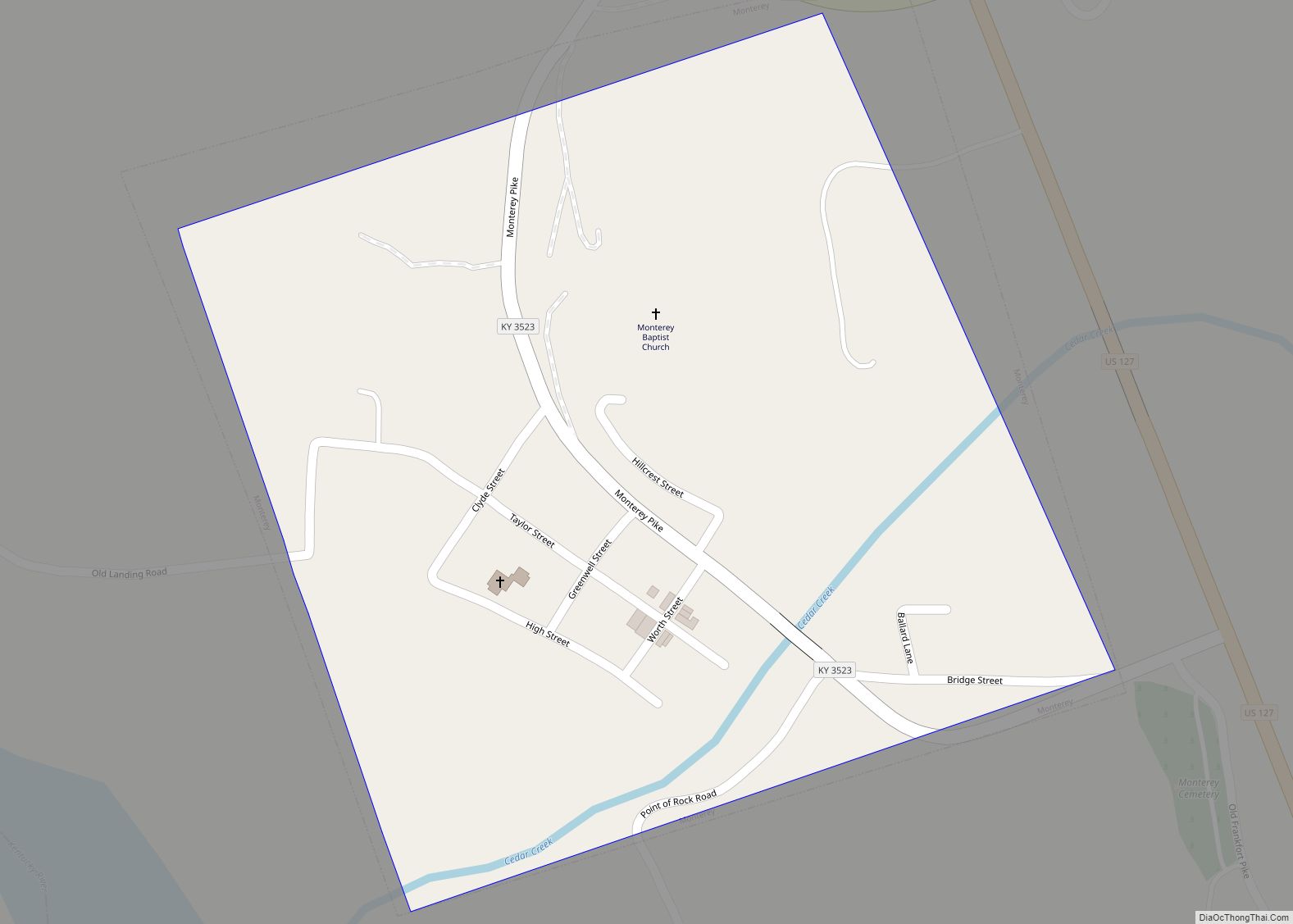
In 1844, after Kentucky began to construct locks and dams on the Kentucky River, packet boats on regular trips between Frankfort and Louisville made stops in Owen County at Monterey, Moxley, Gratz, and other towns. New Liberty was founded before 1800 and was the site of one of the first churches.
In the 1870s, Owen County saw Deputy U.S. Marshall Willis Russell struggle to suppress the local Ku Klux Klan chapter, which was committing violence against former slaves in the years during Reconstruction. Russell was murdered by an unknown assassin in 1875.
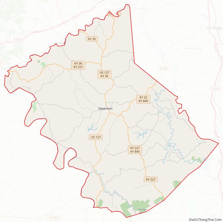
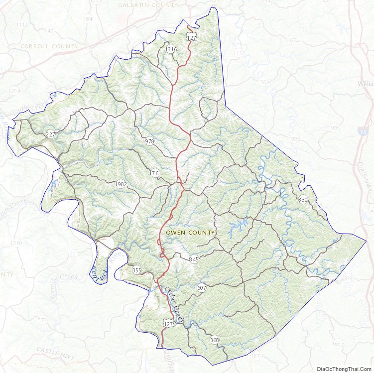
Owen County Road Map
Geography
According to the U.S. Census Bureau, the county has a total area of 354 square miles (920 km), of which 351 square miles (910 km) is land and 3.1 square miles (8.0 km) (0.9%) is water.
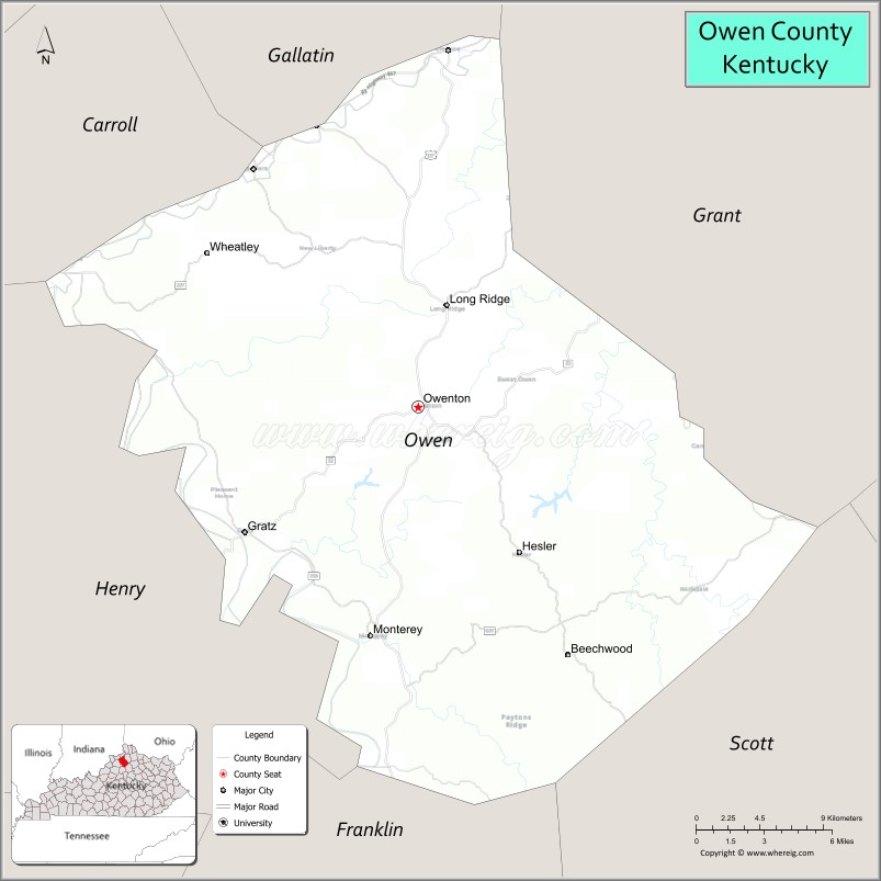
Adjacent counties
- Carroll County (northwest)
- Gallatin County (northeast)
- Grant County (east)
- Scott County (southeast)
- Franklin County (southwest)
- Henry County (west)
Owen County Topographic Map
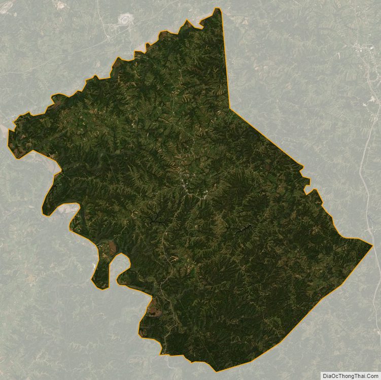
Owen County Satellite Map
Owen County Outline Map