Carroll County is a county located in the northern part of the U.S. state of Kentucky. Its county seat is Carrollton. The county was formed in 1838 and named for Charles Carroll of Carrollton, the last living signer of the Declaration of Independence. It is located at the confluence of the Kentucky and Ohio Rivers.
| Name: | Carroll County |
|---|---|
| FIPS code: | 21-041 |
| State: | Kentucky |
| Founded: | 1838 |
| Named for: | Charles Carroll of Carrollton |
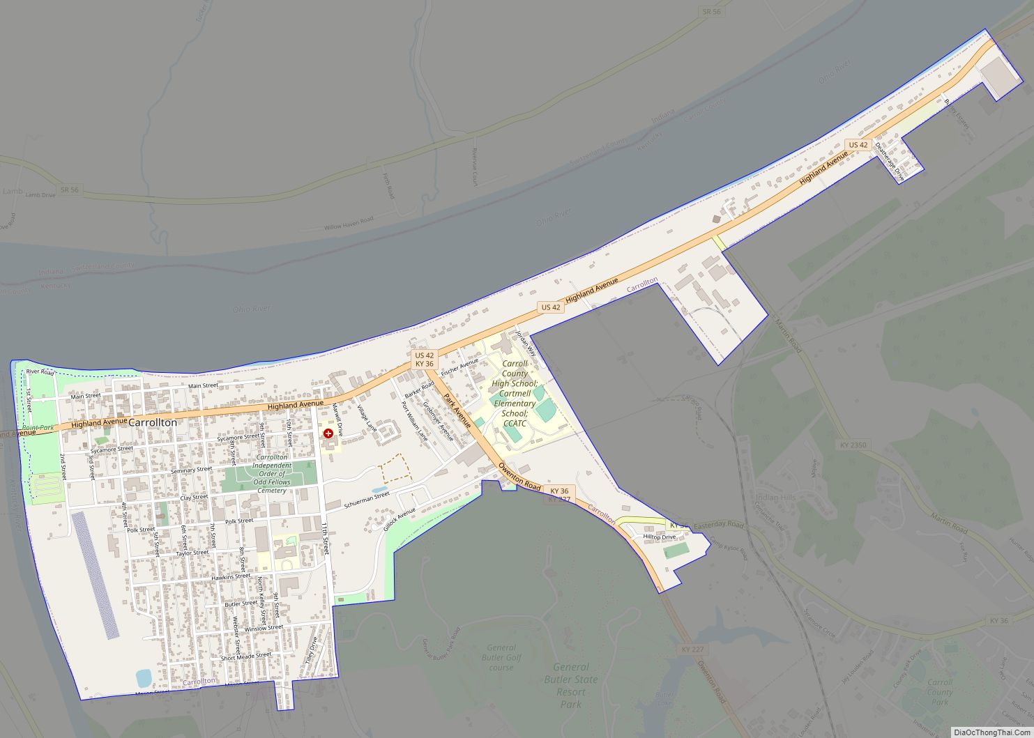
| Seat: | Carrollton |
| Largest city: | Carrollton |
| Total Area: | 137 sq mi (350 km²) |
| Land Area: | 129 sq mi (330 km²) |
| Total Population: | 10,810 |
| Population Density: | 79/sq mi (30/km²) |
| Time zone: | UTC−5 (Eastern) |
| Summer Time Zone (DST): | UTC−4 (EDT) |
| Website: | www.carrollcountygov.us |
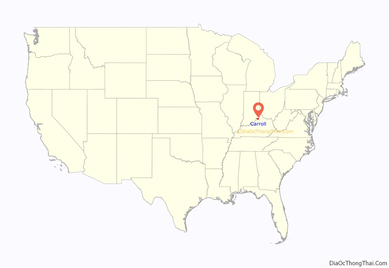
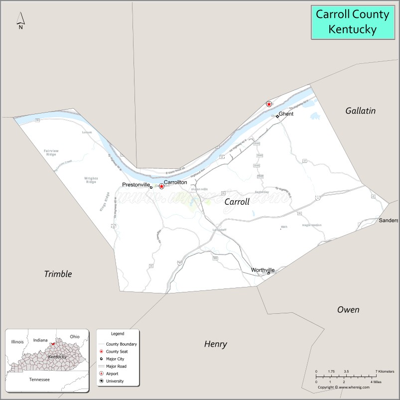
Carroll County location map. Where is Carroll County?
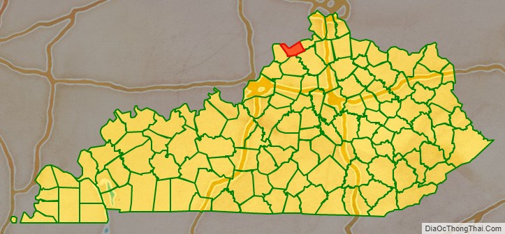
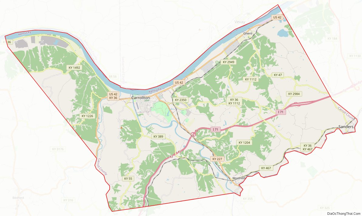
Carroll County Road Map
Geography
According to the U.S. Census Bureau, the county has a total area of 137 square miles (350 km), of which 129 square miles (330 km) is land and 8.7 square miles (23 km) (6.4%) is water. It is the third-smallest county by area in Kentucky.
Adjacent counties
- Jefferson County, Indiana (north)
- Switzerland County, Indiana (northwest)
- Gallatin County (east)
- Owen County (southeast)
- Henry County (south)
- Trimble County (west)
Carroll County Topographic Map
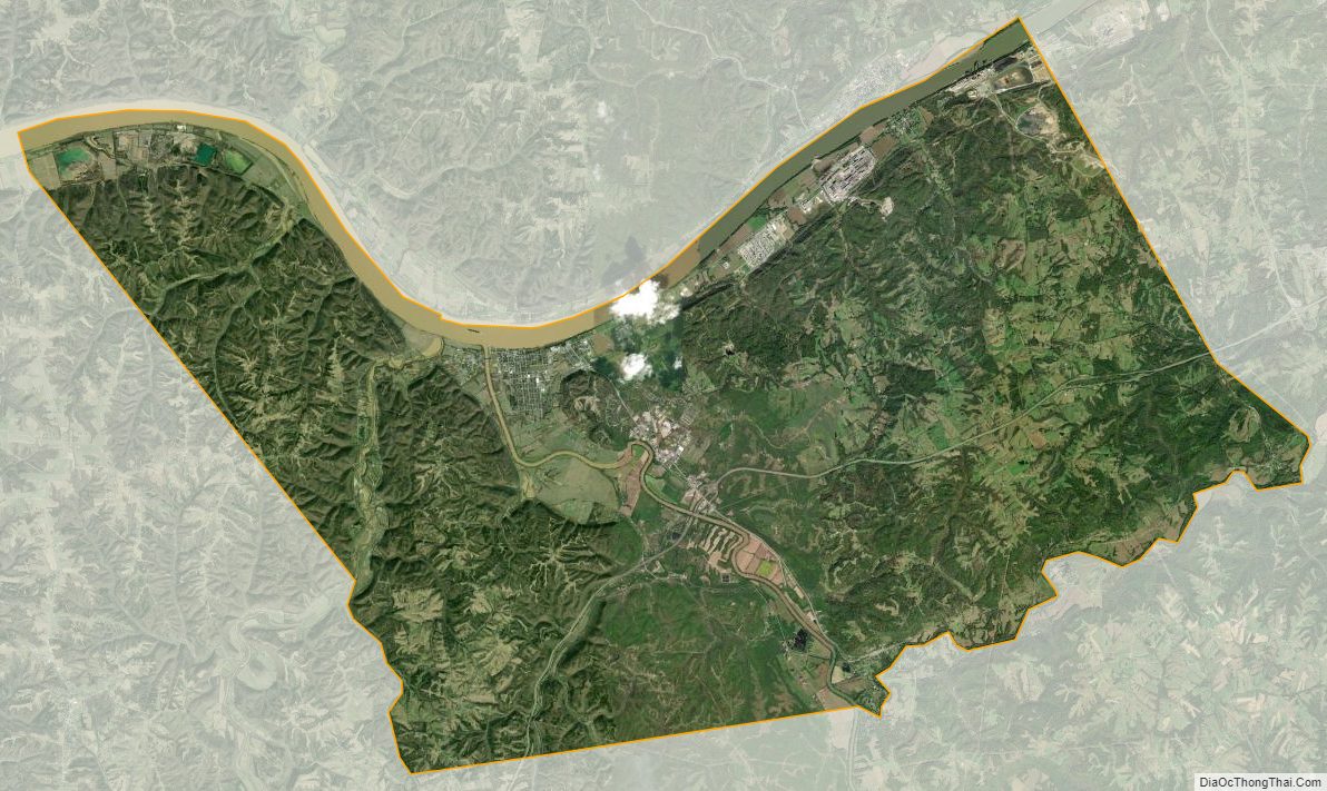
Carroll County Satellite Map
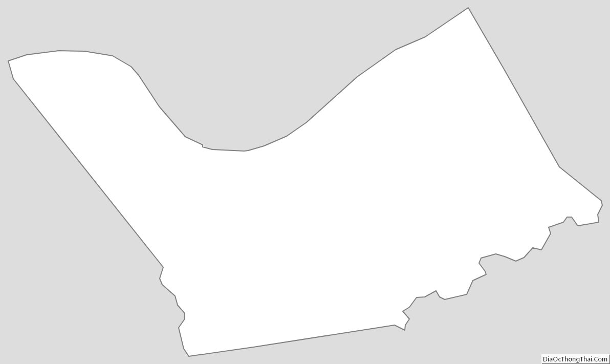
Carroll County Outline Map