Pend Oreille County (/ˌpɒndəˈreɪ/ POND-ə-RAY) is a county located in the northeast corner of the U.S. state of Washington, along the Canada–US border. As of the 2020 census, the population was 13,401. The county seat and largest city is Newport. The county was created out of Stevens County on March 1, 1911. It is the most recently formed of the state’s 39 counties. It is named after the Pend d’Oreilles tribe, who in turn were ostensibly named for large shell earrings that members wore. (“Pend d’oreille”, while awkward in French, could be translated as “hangs from the ear”.)
| Name: | Pend Oreille County |
|---|---|
| FIPS code: | 53-051 |
| State: | Washington |
| Founded: | March 1, 1911 |
| Named for: | Pend d’Oreilles people |
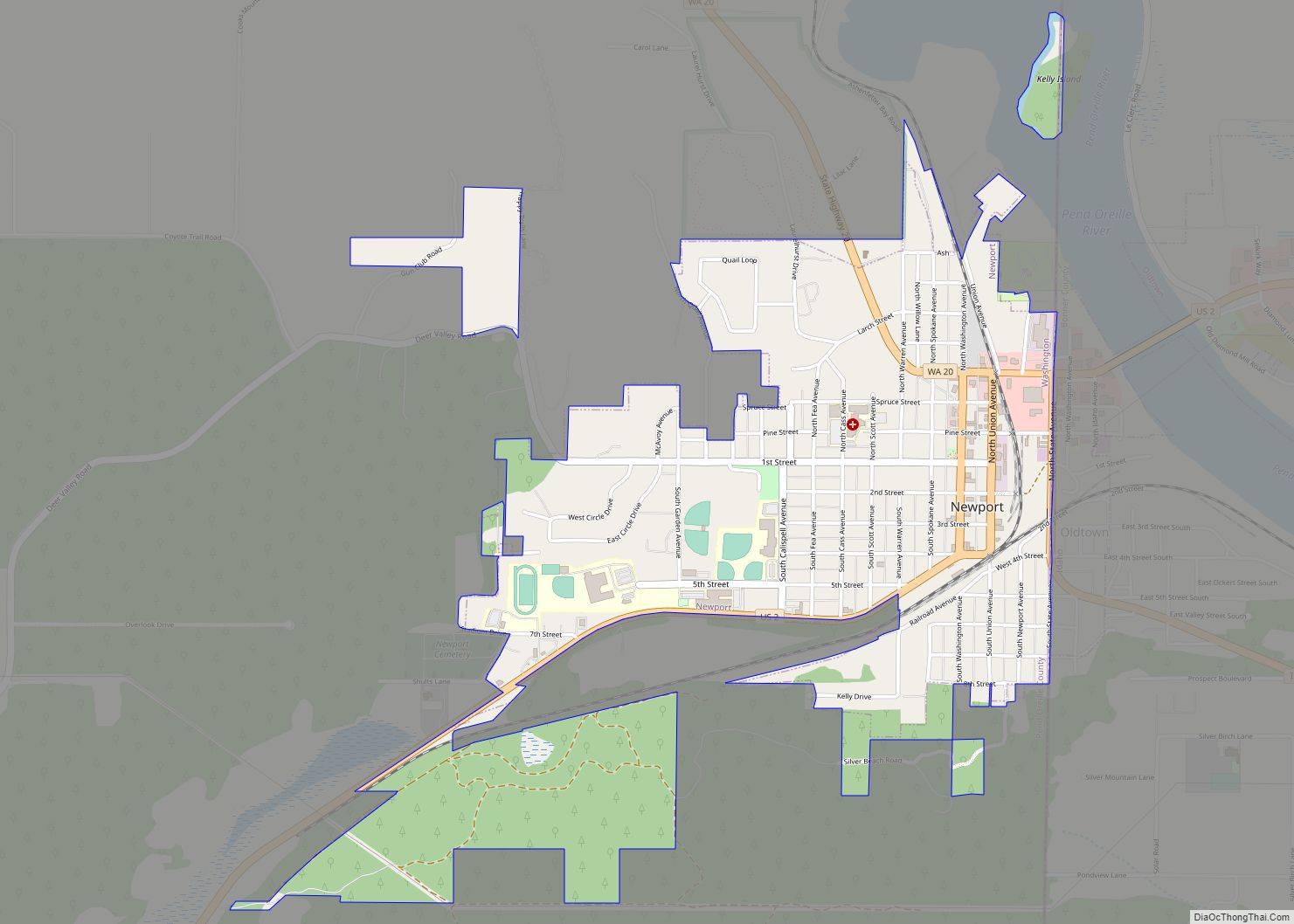
| Seat: | Newport |
| Largest city: | Newport |
| Total Area: | 1,425 sq mi (3,690 km²) |
| Land Area: | 1,400 sq mi (4,000 km²) |
| Total Population: | 13,401 |
| Population Density: | 9.3/sq mi (3.6/km²) |
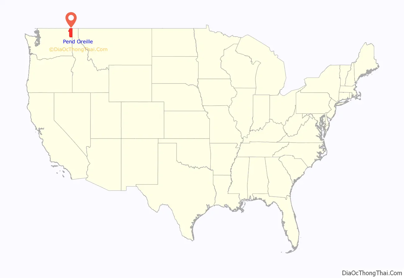
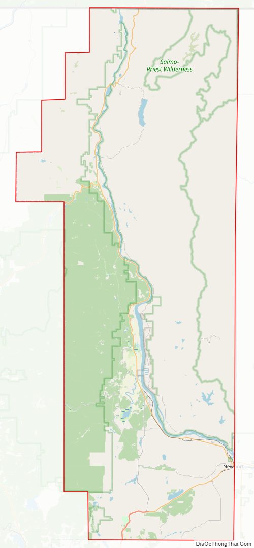
Pend Oreille County location map. Where is Pend Oreille County?
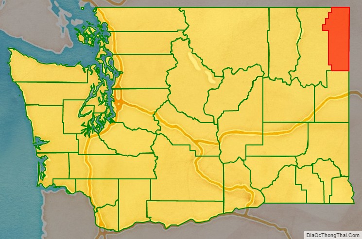
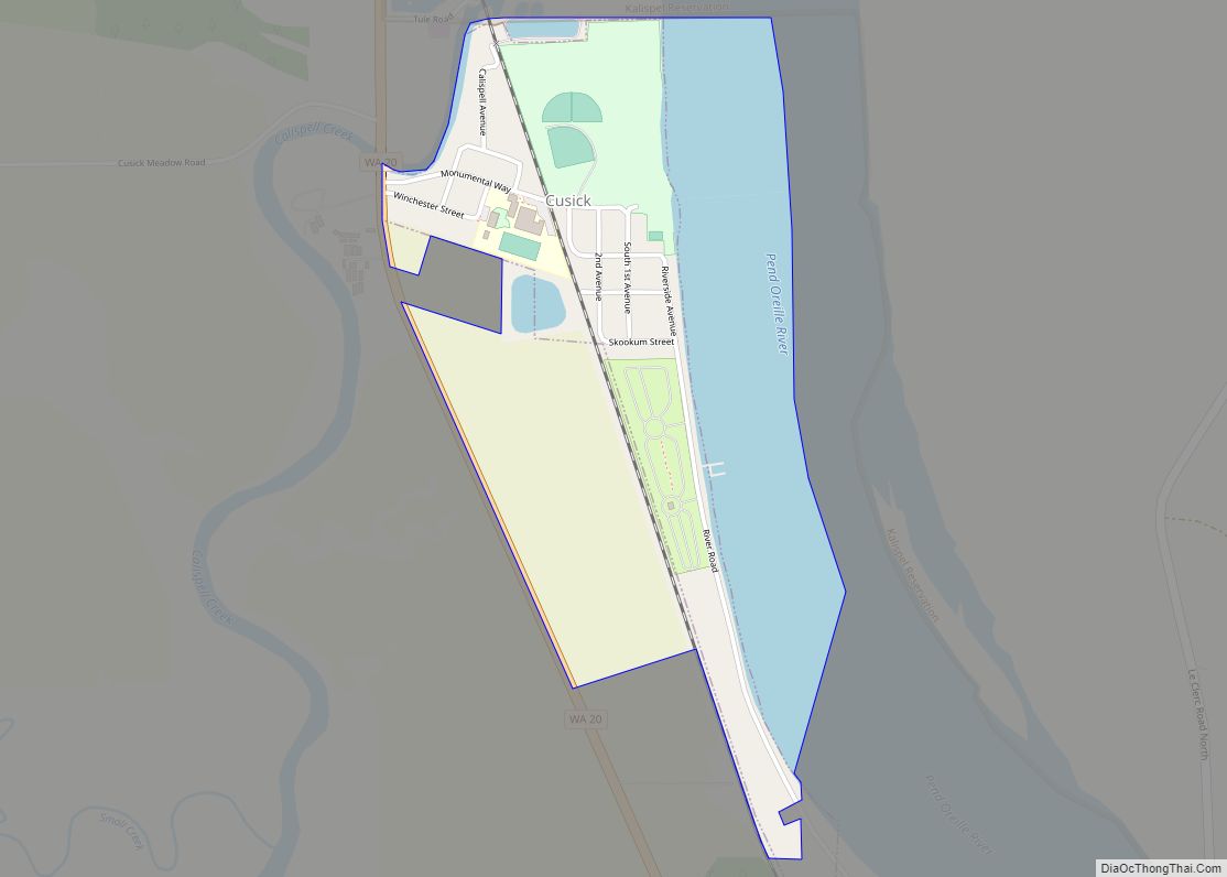
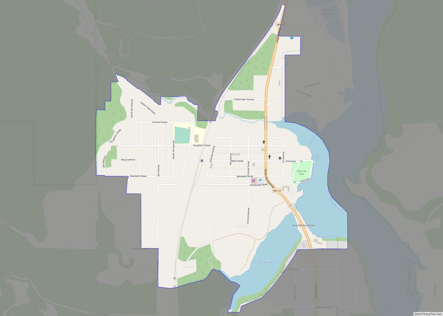
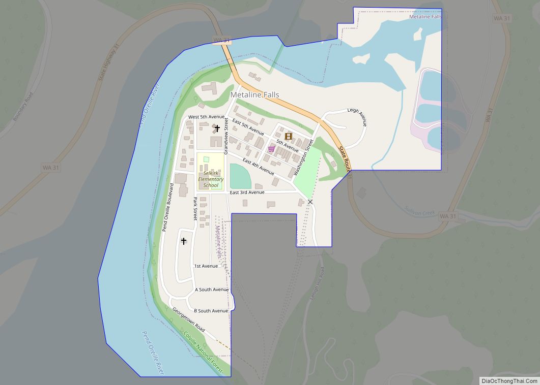
Pend Oreille County Road Map
Geography
According to the United States Census Bureau, the county has a total area of 1,425 square miles (3,690 km), of which 1,400 square miles (3,600 km) is land and 25 square miles (65 km) (1.8%) is water.
Highways
- U.S. Route 2
- State Route 20
- State Route 31
- State Route 41
- State Route 211
- International Selkirk Loop
Adjacent counties
- Boundary County, Idaho – east
- Bonner County, Idaho – east
- Spokane County – south
- Stevens County – west
- Central Kootenay Regional District, British Columbia – north
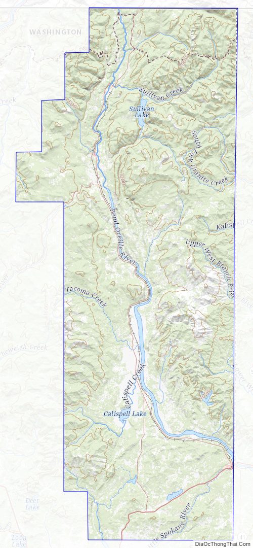
National protected areas
- Colville National Forest (part)
- Pacific Northwest National Scenic Trail (part)
- Kaniksu National Forest (part)
- Little Pend Oreille National Wildlife Refuge (part)
Pend Oreille County Topographic Map
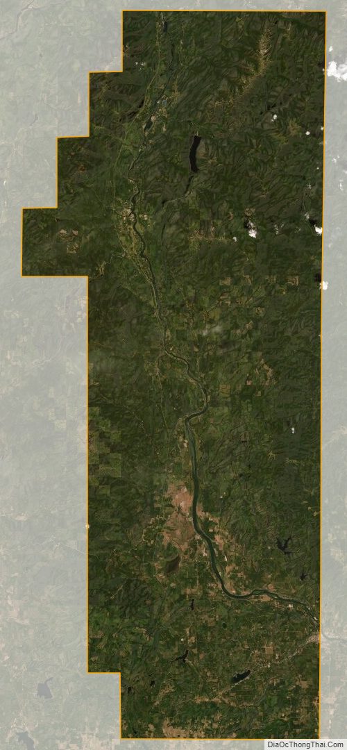
Pend Oreille County Satellite Map
Pend Oreille County Outline Map