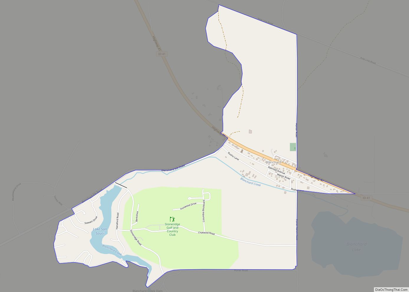
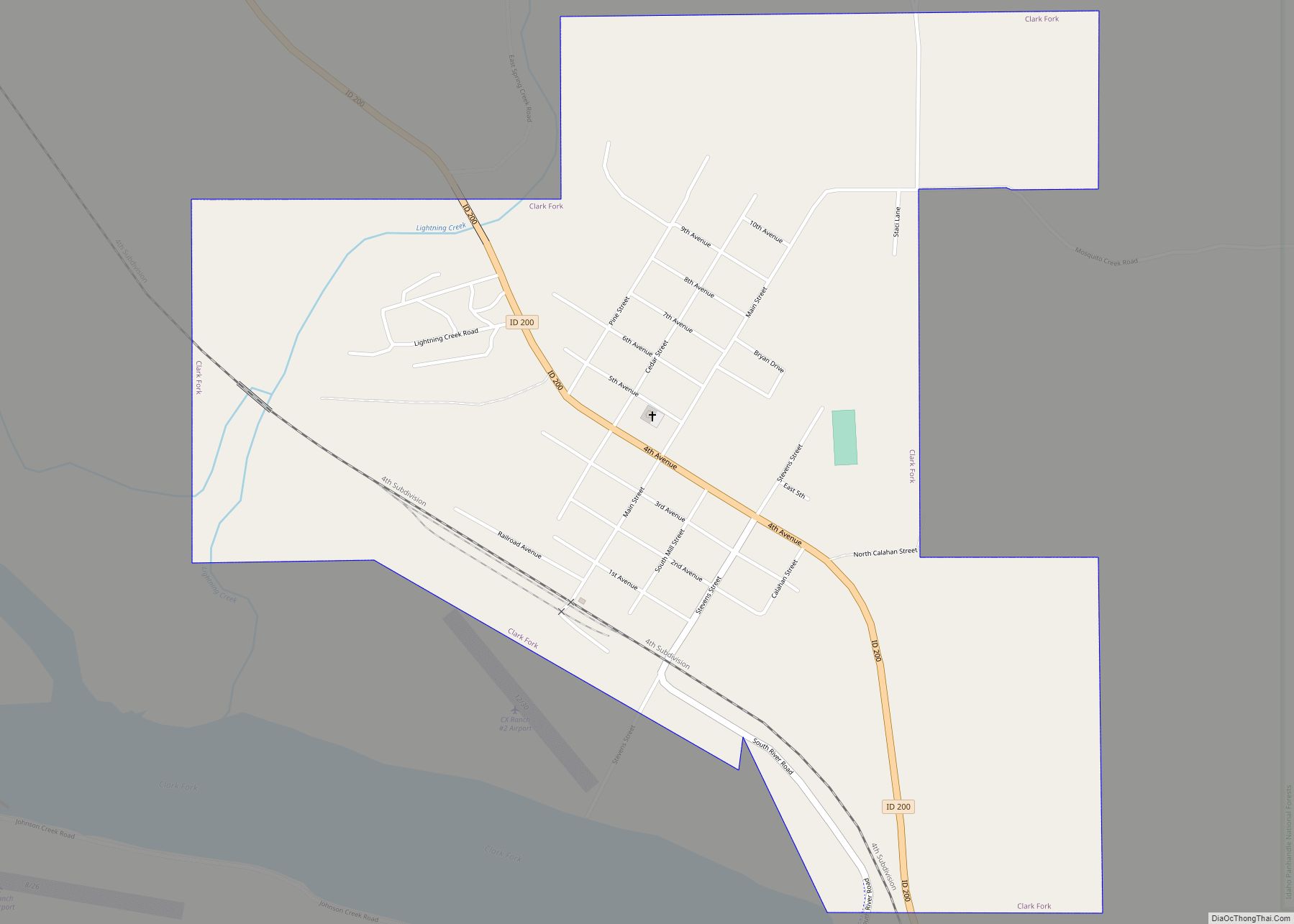
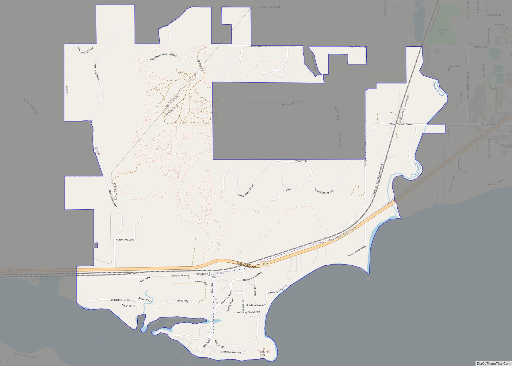
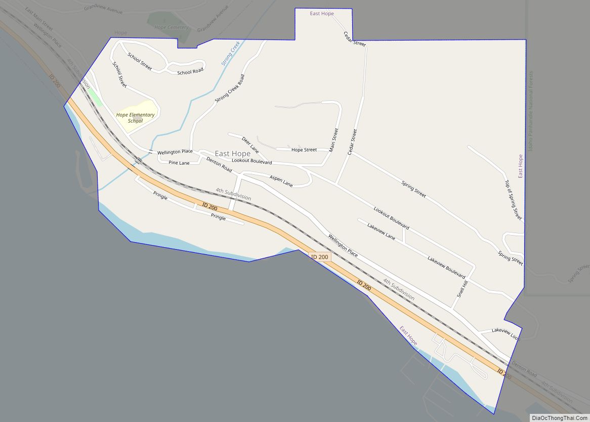
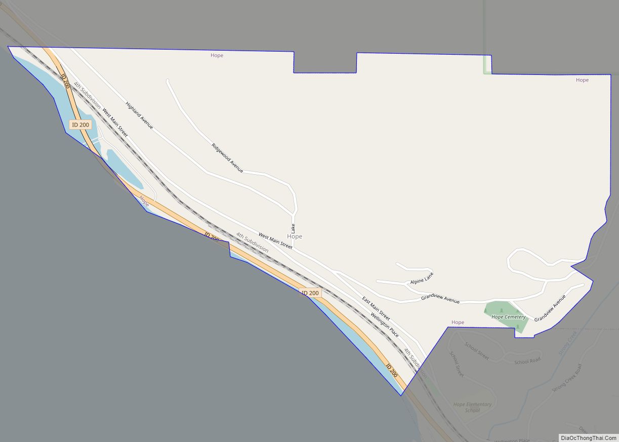
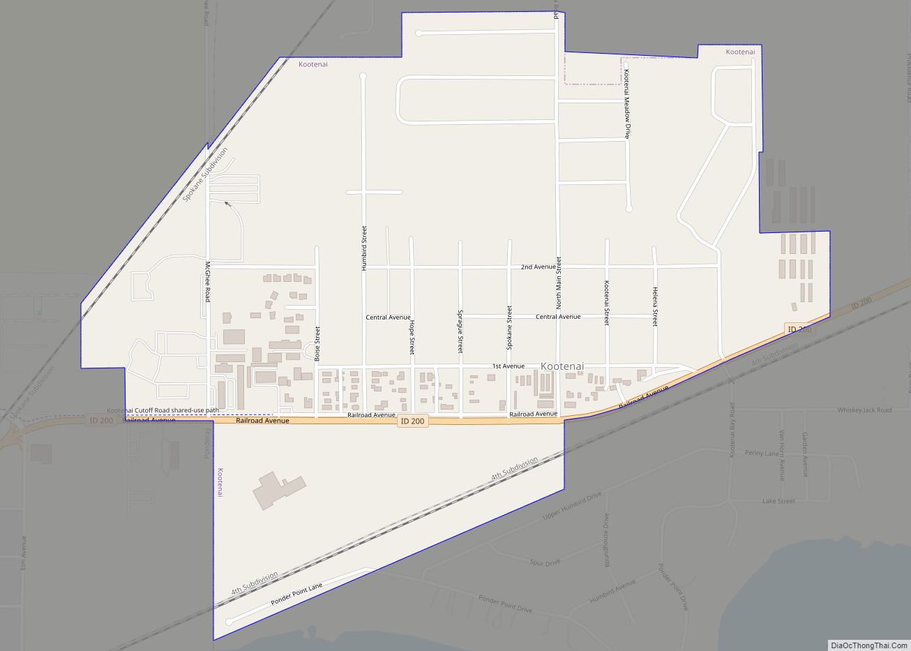
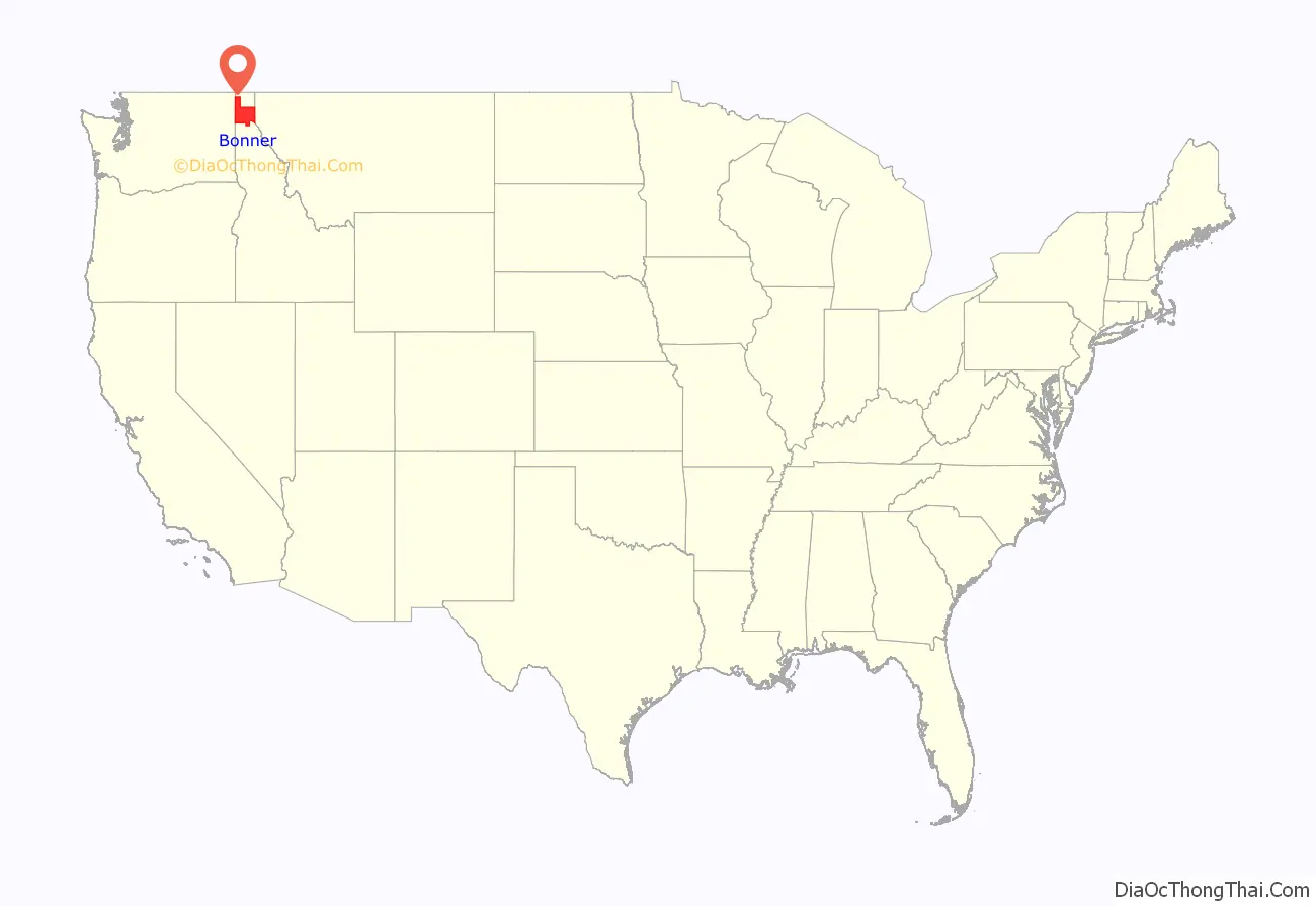
Bonner County is a county in the northern part of the U.S. state of Idaho. As of the 2020 census, the population was 47,110. The county seat and largest city is Sandpoint. Partitioned from Kootenai County and established in 1907, it was named for Edwin L. Bonner, a ferry operator.
Bonner County comprises the Sandpoint, Idaho Micropolitan Statistical Area.
| Name: | Bonner County |
|---|---|
| FIPS code: | 16-017 |
| State: | Idaho |
| Founded: | February 21, 1907 |
| Named for: | Edwin L. Bonner |
| Seat: | Sandpoint |
| Largest city: | Sandpoint |
| Total Area: | 1,919 sq mi (4,970 km²) |
| Land Area: | 1,735 sq mi (4,490 km²) |
| Total Population: | 47,110 |
| Population Density: | 25/sq mi (9.5/km²) |
| Time zone: | UTC−8 (Pacific) |
| Summer Time Zone (DST): | UTC−7 (PDT) |
| Website: | bonnercounty.us |
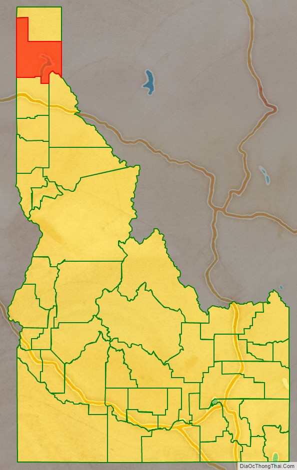
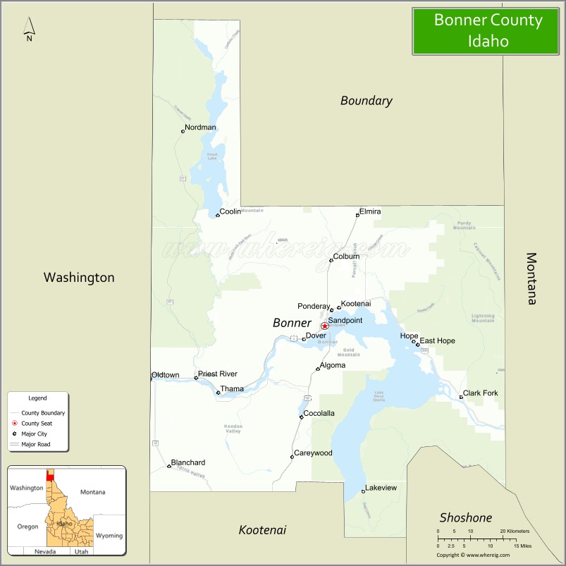
Bonner County location map. Where is Bonner County?
History
Bonner County was formed on February 21, 1907. It was named for travel entrepreneur Edwin L. Bonner, a ferry operator.
In 1864, the Idaho Legislature created the counties of Lah-Toh and Kootenai. Kootenai County initially covered all of present-day Bonner and Boundary counties and a portion of present-day Kootenai County. It also overlapped part of the existing boundary of Shoshone County. Sin-na-ac-qua-teen, a trading post in present-day Bonner County on the south shore of the Pend Oreille River near Laclede, was named county seat. The government of Kootenai failed to organize due to lack of settlement within the county boundary. In 1867, the legislature repealed the act that created the two counties and consolidated them into a county that retained the Kootenai name. Rathdrum became the county seat when Kootenai County organized in 1881.
The tiny portion of Bonner County south of the 48th parallel and east of Shoshone County was not in any of Idaho’s counties from 1863 to 1907, the longest time frame any non-county area existed in the State of Idaho. The Idaho panhandle north of the Clearwater River’s basin was in Spokane County, Washington, prior to Idaho’s creation as a territory in 1863. When Idaho defined its original counties by February, 1864, it attached the former Spokane County area to Nez Perce County for judicial purposes. Legislators creating Kootenai County in December 1864 lacked knowledge of the geography of the area and failed to fully include the non-county area within the county boundaries of Kootenai or Lah-Toh. The non-county area was fully included within Bonner County when it was formed in 1907.
Boundary County was formed from Bonner County in 1915.
Bonner County Road Map
Geography
According to the U.S. Census Bureau, the county has a total area of 1,919 square miles (4,970 km), of which 1,735 square miles (4,490 km) is land and 185 square miles (480 km) (9.6%) is water.
Adjacent counties
- Pend Oreille County, Washington– northwest
- Boundary County – north
- Lincoln County, Montana – east/Mountain Time Border
- Sanders County, Montana – southeast/Mountain Time Border
- Shoshone County – southeast
- Kootenai County – south
- Spokane County, Washington – southwest
National protected areas
- Pacific Northwest National Scenic Trail (part)
- Coeur d’Alene National Forest (part)
- Kaniksu National Forest (part)
- Kootenai National Forest (part)
Major highways
- US 2
- US 95
- SH-41
- SH-57
- SH-200
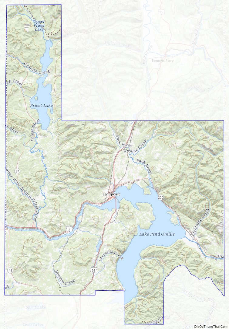
Rivers and lakes
- Albeni Falls Dam
- Clark Fork River
- Cocolalla
- Kelso Lake
- Lake Pend Oreille
- Pack River
- Pend Oreille River
- Priest Lake
Bonner County Topographic Map
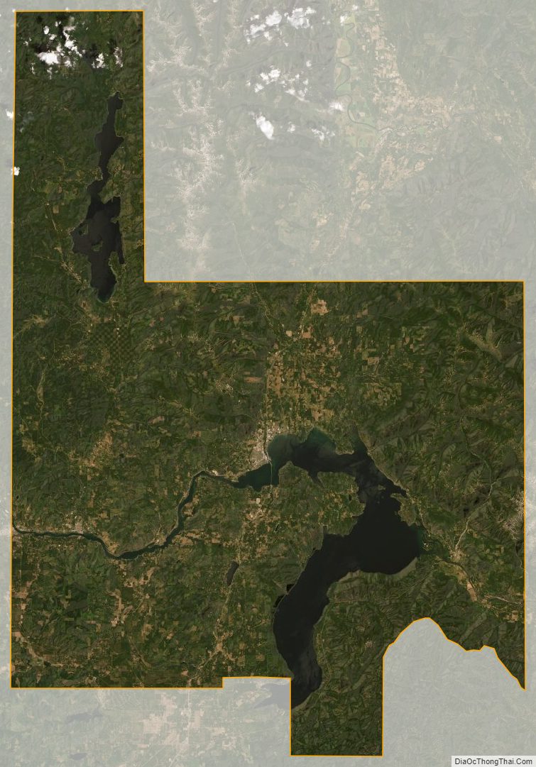
Bonner County Satellite Map
Bonner County Outline Map