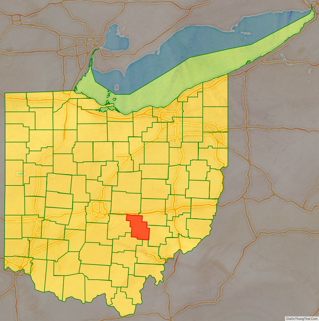
Perry County is a county located in the U.S. state of Ohio. As of the 2020 census, the population was 35,408. Its county seat is New Lexington. It was established on March 1, 1818, from parts of Fairfield, Washington and Muskingum counties. The county is named for Oliver Hazard Perry, a hero of the War of 1812. Perry County is included in the Columbus, OH Metropolitan Statistical Area. One of the poorest counties in the state, this is where the lawsuit challenging Ohio’s school funding system, DeRolph v. State, began.
| Name: | Perry County |
|---|---|
| FIPS code: | 39-127 |
| State: | Ohio |
| Founded: | March 1, 1818 |
| Named for: | Oliver Hazard Perry |
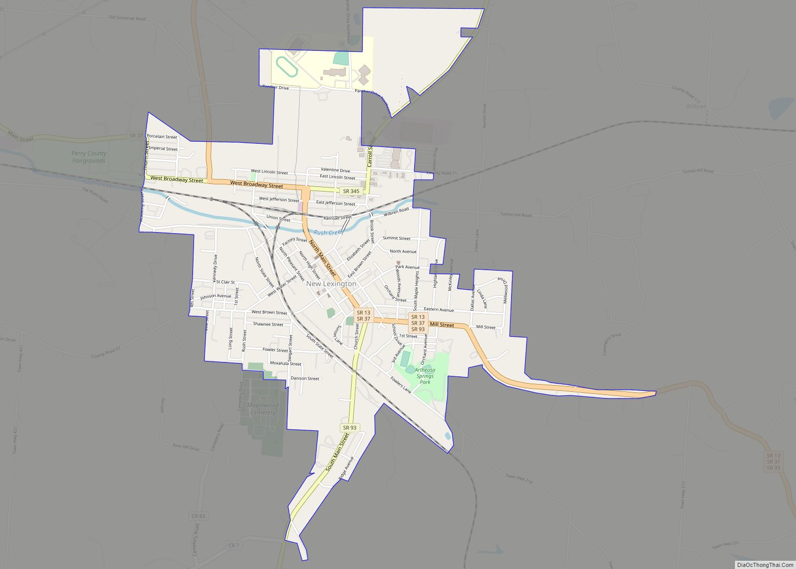
| Seat: | New Lexington |
| Largest city: | New Lexington |
| Total Area: | 412 sq mi (1,070 km²) |
| Land Area: | 408 sq mi (1,060 km²) |
| Total Population: | 35,408 |
| Population Density: | 86/sq mi (33/km²) |
| Time zone: | UTC−5 (Eastern) |
| Summer Time Zone (DST): | UTC−4 (EDT) |
| Website: | www.perrycountyohio.net |
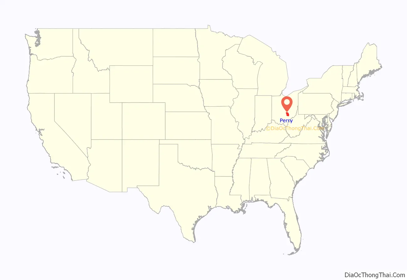
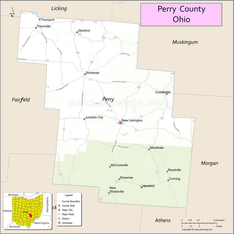
Perry County location map. Where is Perry County?
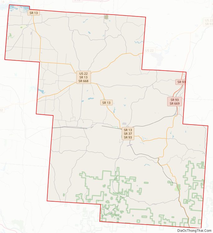
Perry County Road Map
Geography
According to the U.S. Census Bureau, the county has a total area of 412 square miles (1,070 km), of which 408 square miles (1,060 km) is land and 4.5 square miles (12 km) (1.1%) is water.
Adjacent counties
- Licking County (north)
- Muskingum County (northeast)
- Morgan County (southeast)
- Athens County (south)
- Hocking County (southwest)
- Fairfield County (west)
National protected area
- Wayne National Forest (part)
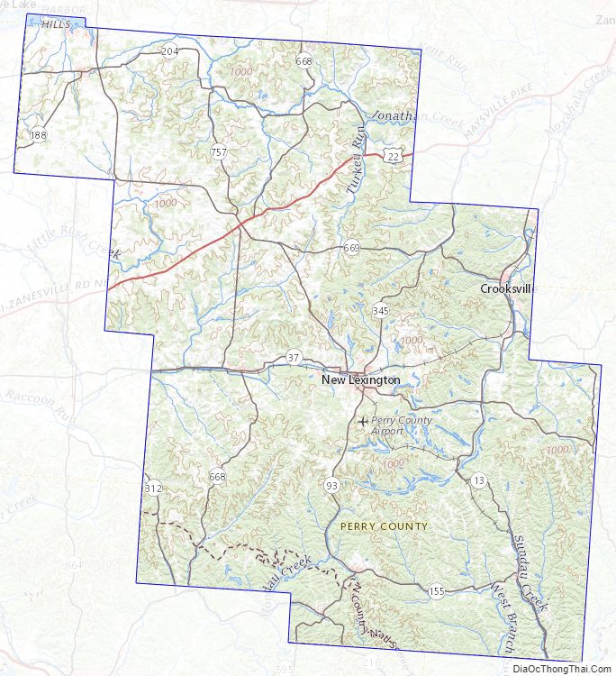
Perry County Topographic Map
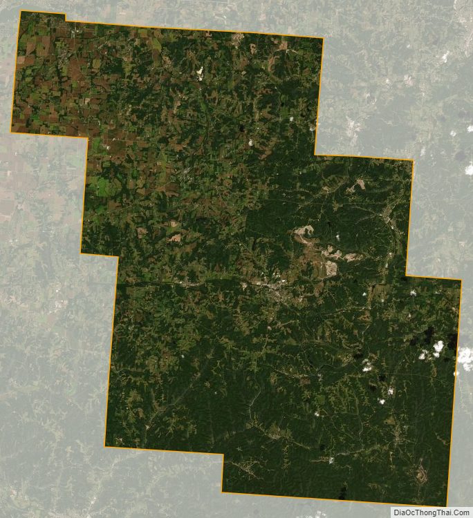
Perry County Satellite Map
Perry County Outline Map