New Lexington is a village in and the county seat of Perry County, Ohio, United States, 21 miles (34 km) southwest of Zanesville and 45 miles (72 km) miles southeast of Columbus. The population was 4,435 at the 2020 census.
| Name: | New Lexington village |
|---|---|
| LSAD Code: | 47 |
| LSAD Description: | village (suffix) |
| State: | Ohio |
| County: | Perry County |
| Elevation: | 945 ft (288 m) |
| Total Area: | 1.95 sq mi (5.05 km²) |
| Land Area: | 1.95 sq mi (5.04 km²) |
| Water Area: | 0.00 sq mi (0.01 km²) |
| Total Population: | 4,435 |
| Population Density: | 2,277.86/sq mi (879.31/km²) |
| ZIP code: | 43764 |
| Area code: | 740 |
| FIPS code: | 3954866 |
| GNISfeature ID: | 1076507 |
| Website: | http://www.newlexington.org/ |
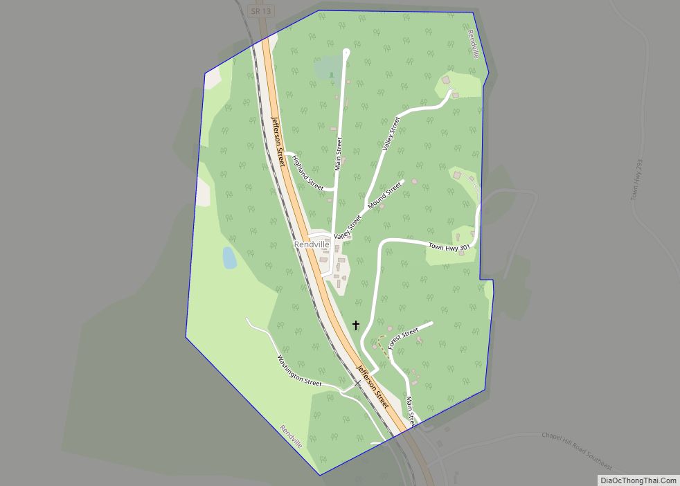
Online Interactive Map
Click on ![]() to view map in "full screen" mode.
to view map in "full screen" mode.
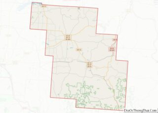
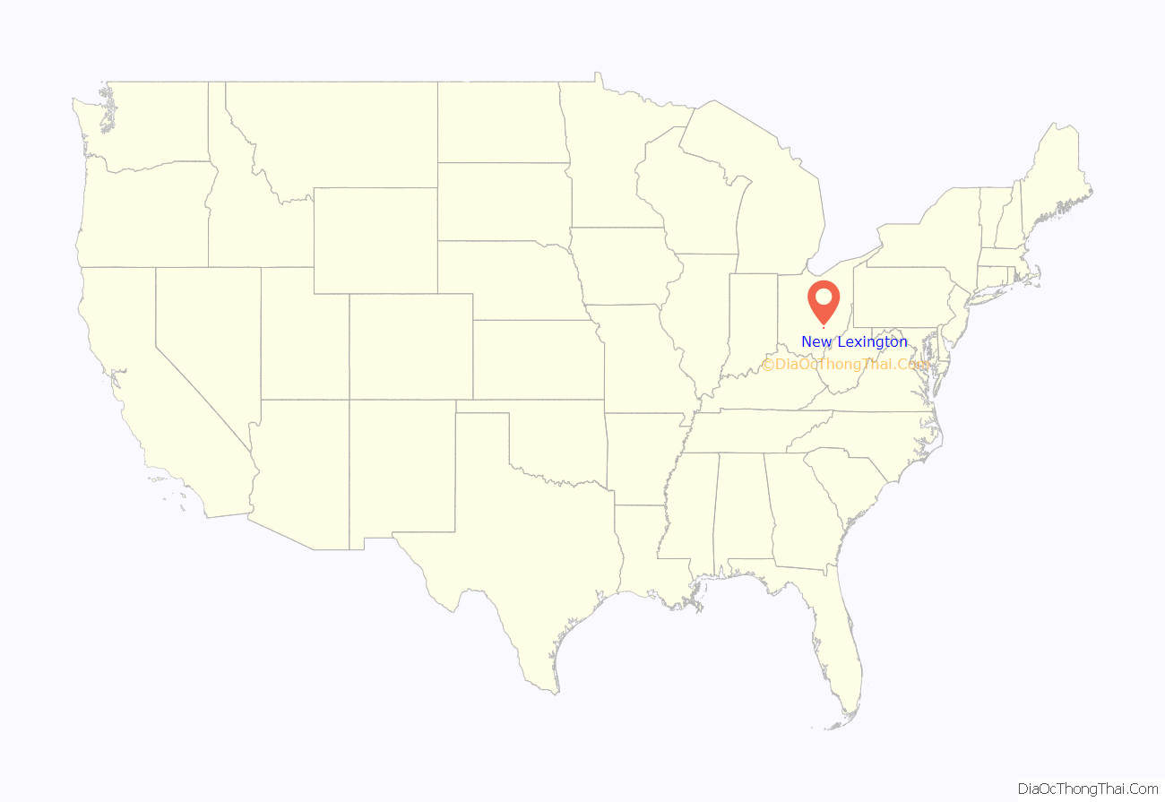
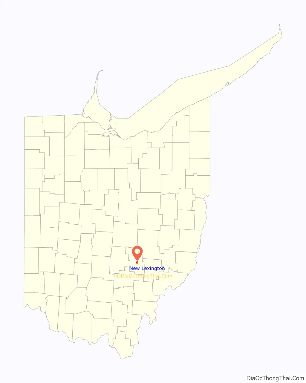
New Lexington location map. Where is New Lexington village?
History
New Lexington was laid out in 1817. The village was named after Lexington, Massachusetts. A post office called New Lexington has been in operation since 1829. The Perry County Courthouse that stands at the corner of Main Street and West Brown Street was erected in 1887 and was dedicated one year later. In 2020, New Lexington’s historical Main Street underwent a massive renovation project that delivered new brick sidewalks, trash cans, benches, trees, and decorative street lighting. The project cost $2.1 million and was made possible through the Streetscape Grant.
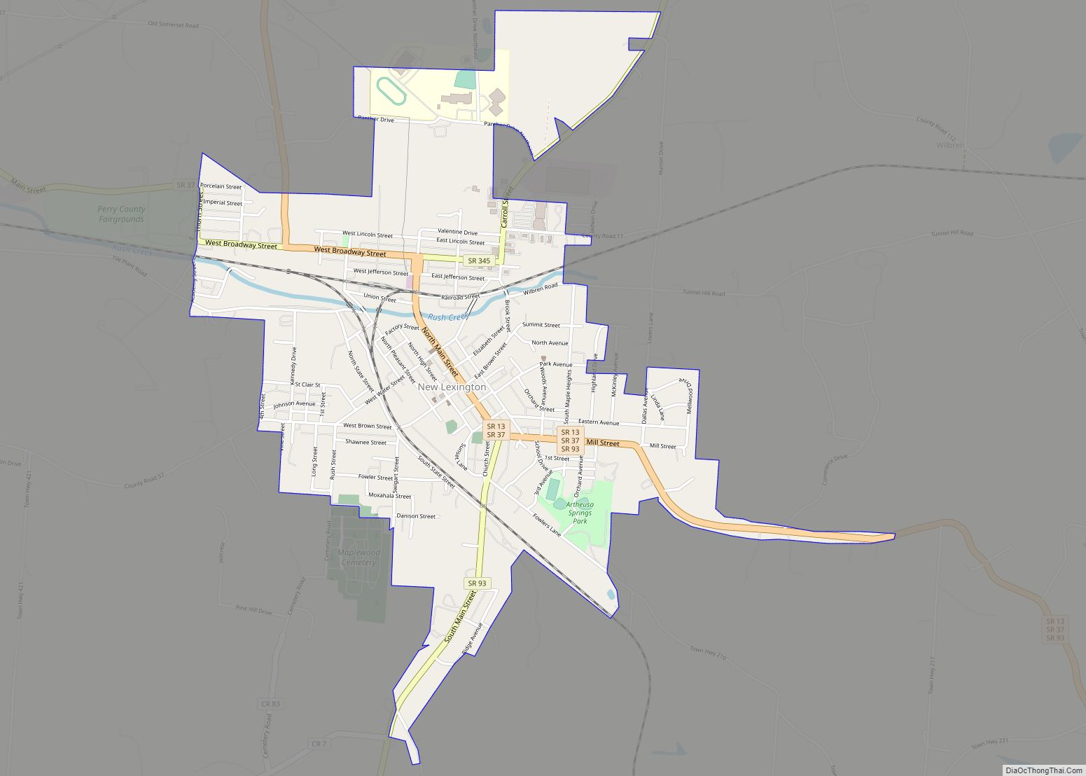
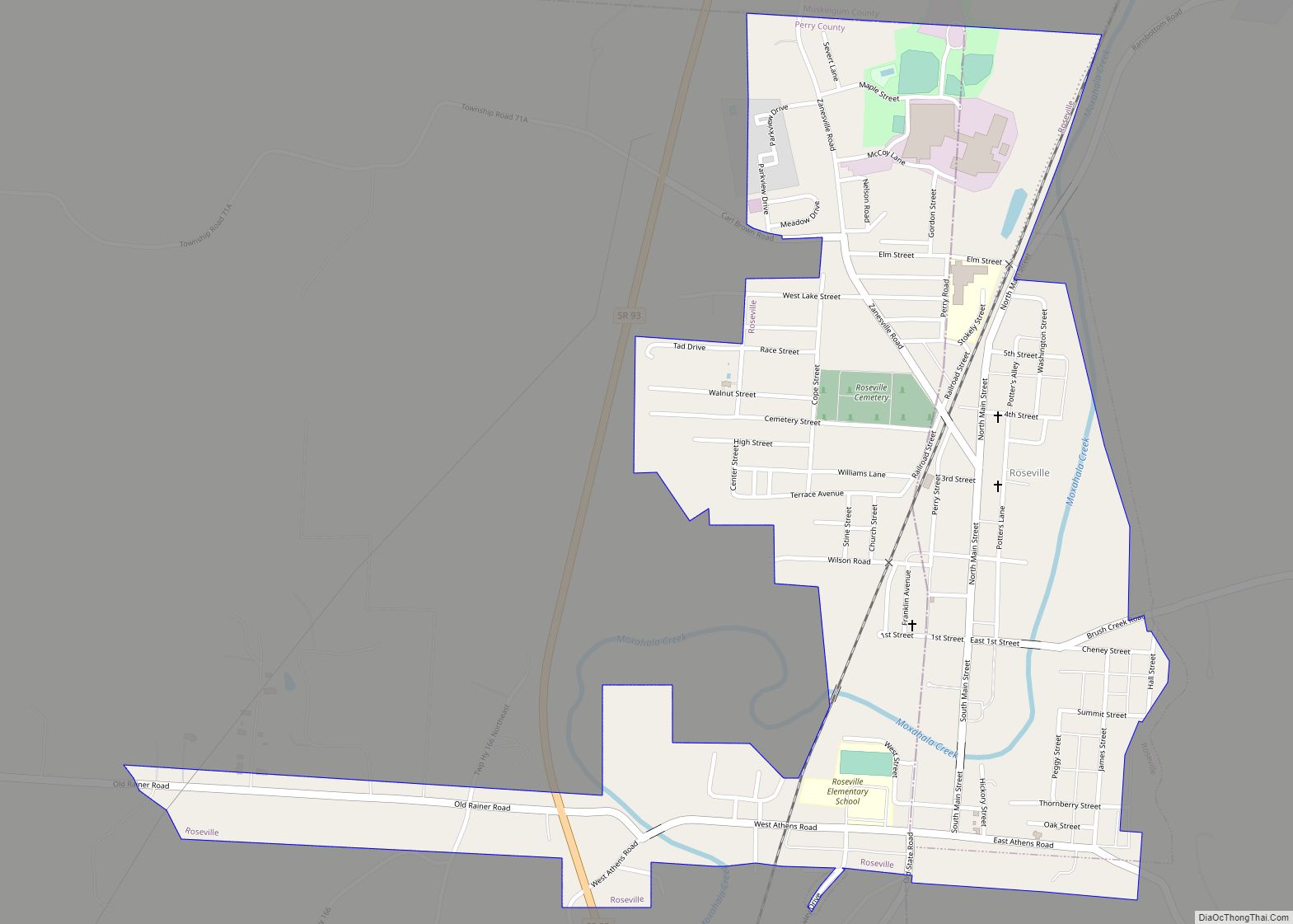
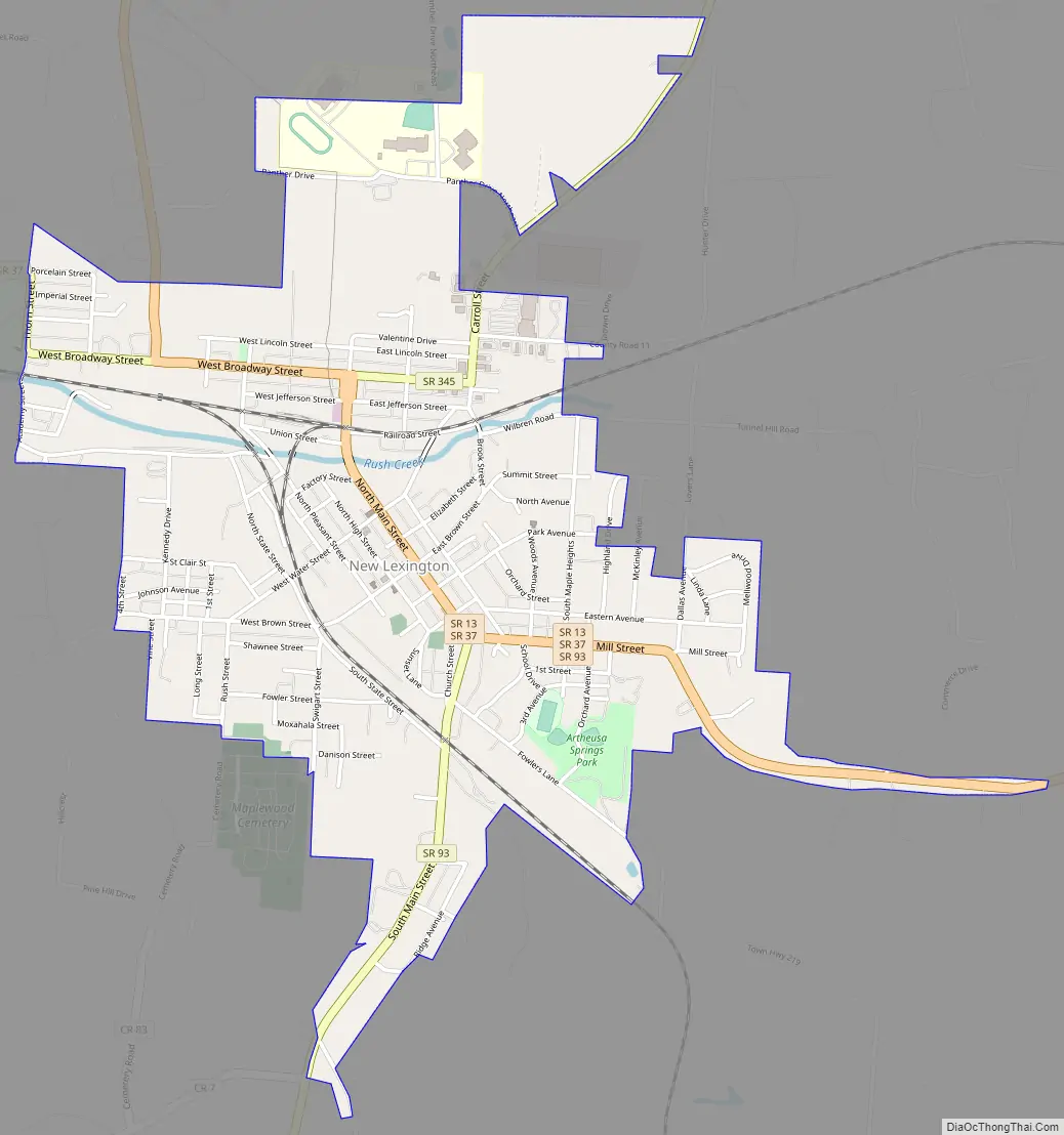
New Lexington Road Map
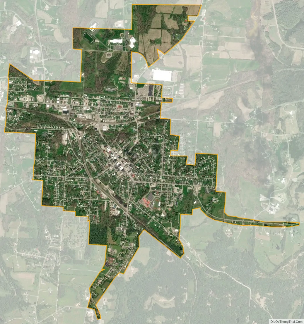
New Lexington city Satellite Map
Geography
New Lexington is located at 39°42′57″N 82°12′38″W / 39.71583°N 82.21056°W / 39.71583; -82.21056 (39.715913, -82.210452).
According to the United States Census Bureau, the village has a total area of 1.95 square miles (5.05 km), all land.
Climate
See also
Map of Ohio State and its subdivision:- Adams
- Allen
- Ashland
- Ashtabula
- Athens
- Auglaize
- Belmont
- Brown
- Butler
- Carroll
- Champaign
- Clark
- Clermont
- Clinton
- Columbiana
- Coshocton
- Crawford
- Cuyahoga
- Darke
- Defiance
- Delaware
- Erie
- Fairfield
- Fayette
- Franklin
- Fulton
- Gallia
- Geauga
- Greene
- Guernsey
- Hamilton
- Hancock
- Hardin
- Harrison
- Henry
- Highland
- Hocking
- Holmes
- Huron
- Jackson
- Jefferson
- Knox
- Lake
- Lake Erie
- Lawrence
- Licking
- Logan
- Lorain
- Lucas
- Madison
- Mahoning
- Marion
- Medina
- Meigs
- Mercer
- Miami
- Monroe
- Montgomery
- Morgan
- Morrow
- Muskingum
- Noble
- Ottawa
- Paulding
- Perry
- Pickaway
- Pike
- Portage
- Preble
- Putnam
- Richland
- Ross
- Sandusky
- Scioto
- Seneca
- Shelby
- Stark
- Summit
- Trumbull
- Tuscarawas
- Union
- Van Wert
- Vinton
- Warren
- Washington
- Wayne
- Williams
- Wood
- Wyandot
- Alabama
- Alaska
- Arizona
- Arkansas
- California
- Colorado
- Connecticut
- Delaware
- District of Columbia
- Florida
- Georgia
- Hawaii
- Idaho
- Illinois
- Indiana
- Iowa
- Kansas
- Kentucky
- Louisiana
- Maine
- Maryland
- Massachusetts
- Michigan
- Minnesota
- Mississippi
- Missouri
- Montana
- Nebraska
- Nevada
- New Hampshire
- New Jersey
- New Mexico
- New York
- North Carolina
- North Dakota
- Ohio
- Oklahoma
- Oregon
- Pennsylvania
- Rhode Island
- South Carolina
- South Dakota
- Tennessee
- Texas
- Utah
- Vermont
- Virginia
- Washington
- West Virginia
- Wisconsin
- Wyoming