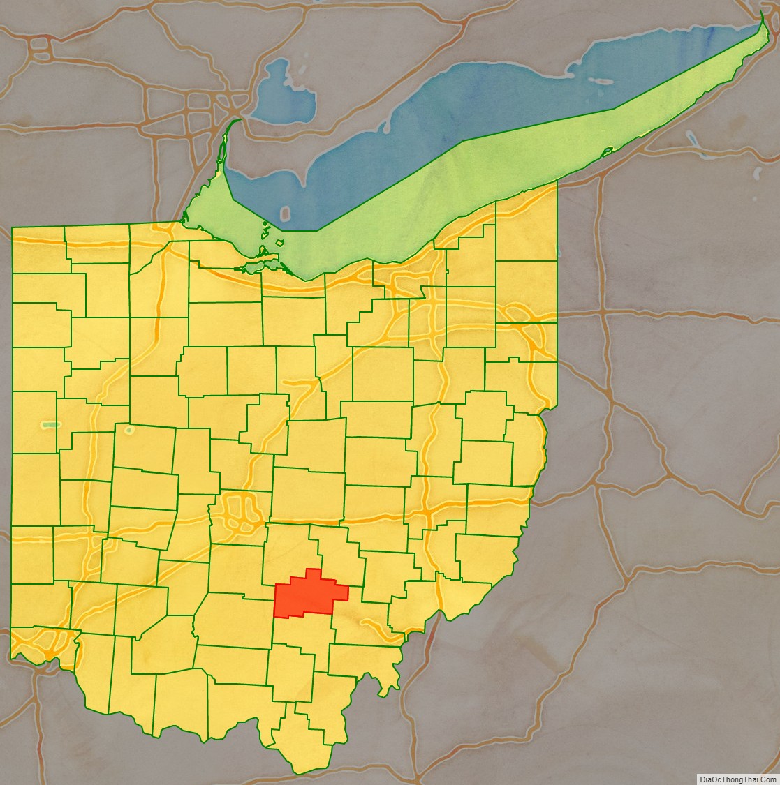
Hocking County is a county located in the U.S. state of Ohio. As of the 2020 census, the population was 28,050. Its county seat is Logan. The county was organized on March 1, 1818, from land given by Athens, Fairfield, and Ross counties. Its name is from the Hocking River, the origins of which are disputed but is said to be a Delaware Indian word meaning “bottle river”. Hocking County is included in the Columbus, OH Metropolitan Statistical Area.
| Name: | Hocking County |
|---|---|
| FIPS code: | 39-073 |
| State: | Ohio |
| Founded: | March 1, 1818 |
| Named for: | Hocking River, perhaps from the Lenape language for “bottle river” |
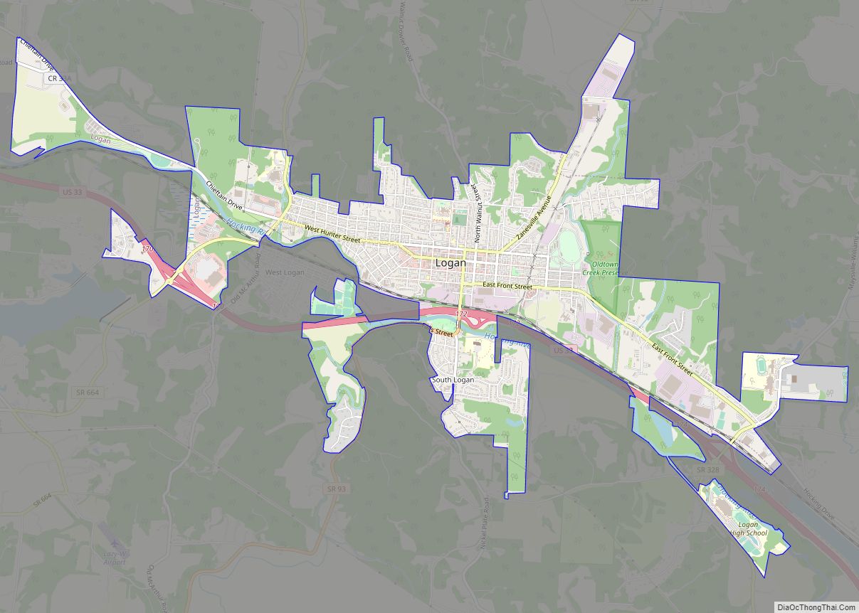
| Seat: | Logan |
| Largest city: | Logan |
| Total Area: | 424 sq mi (1,100 km²) |
| Land Area: | 421 sq mi (1,090 km²) |
| Total Population: | 28,050 |
| Population Density: | 66/sq mi (25/km²) |
| Time zone: | UTC−5 (Eastern) |
| Summer Time Zone (DST): | UTC−4 (EDT) |
| Website: | www.co.hocking.oh.us |
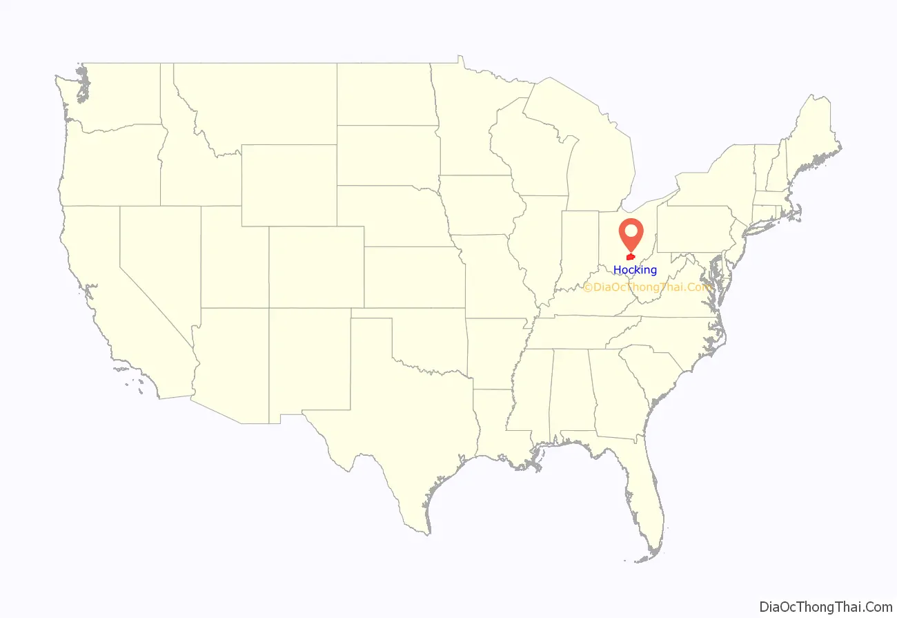
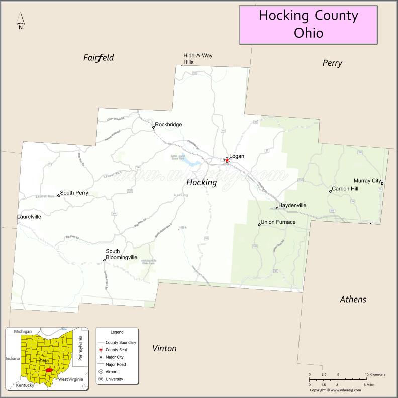
Hocking County location map. Where is Hocking County?
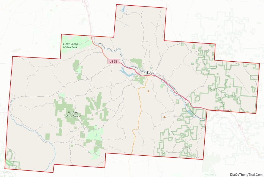
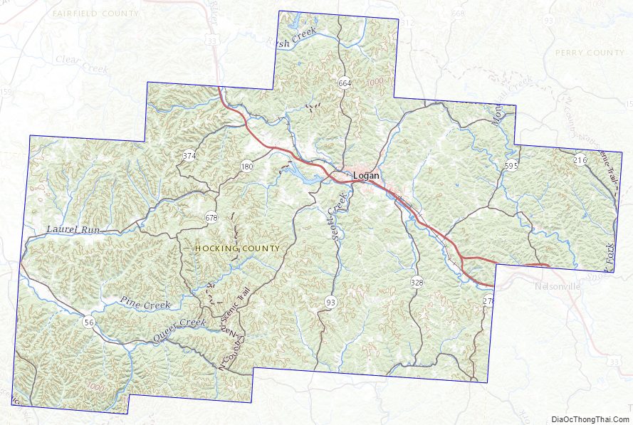
Hocking County Road Map
Geography
According to the U.S. Census Bureau, the county has a total area of 424 square miles (1,100 km), of which 421 square miles (1,090 km) is land and 2.3 square miles (6.0 km) (0.5%) is water.
Waterways
The major waterway of Hocking County is the Hocking River, which flows roughly from WNW to ESE, arising in Fairfield County and flowing from Hocking County into Athens County. This river drains about half the county. To the southwest, much of the rest of the county is drained by Salt Creek, which flows from there into Vinton County. A small part of the southeastern county is drained by Raccoon Creek, which also flows into Vinton County. The easternmost area of the county is within the Monday Creek watershed. A small area in the north of the county is drained by Rush Creek.
Adjacent counties
- Perry County (northeast)
- Athens County (southeast)
- Vinton County (south)
- Ross County (southwest)
- Pickaway County (west)
- Fairfield County (northwest)
National protected area
- Wayne National Forest (part)
Hocking County Topographic Map
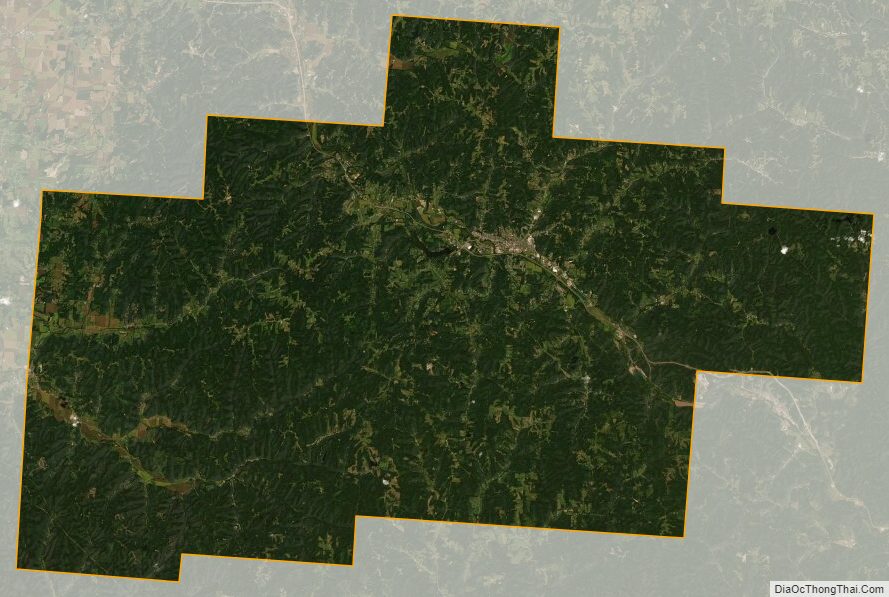
Hocking County Satellite Map
Hocking County Outline Map