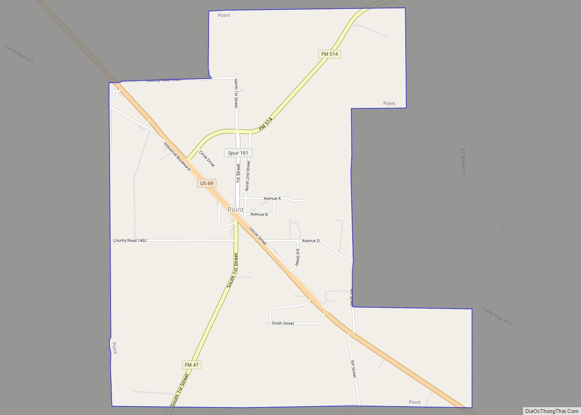
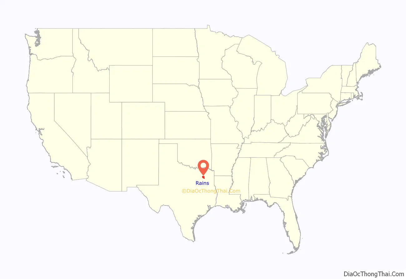
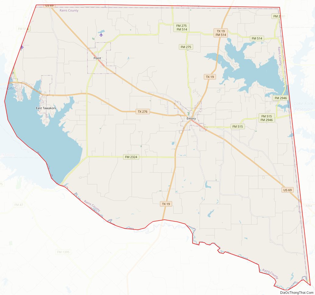
Rains County is a county located in the U.S. state of Texas. As of the 2020 census, its population was 12,164. Its seat is Emory. The county (and county seat) are named for Emory Rains, a Texas state legislator.
In 1970, Recorded Texas Historic Landmark Number 10860 was placed in the county courthouse lawn.
| Name: | Rains County |
|---|---|
| FIPS code: | 48-379 |
| State: | Texas |
| Founded: | June 9, 1870 |
| Named for: | Emory Rains |
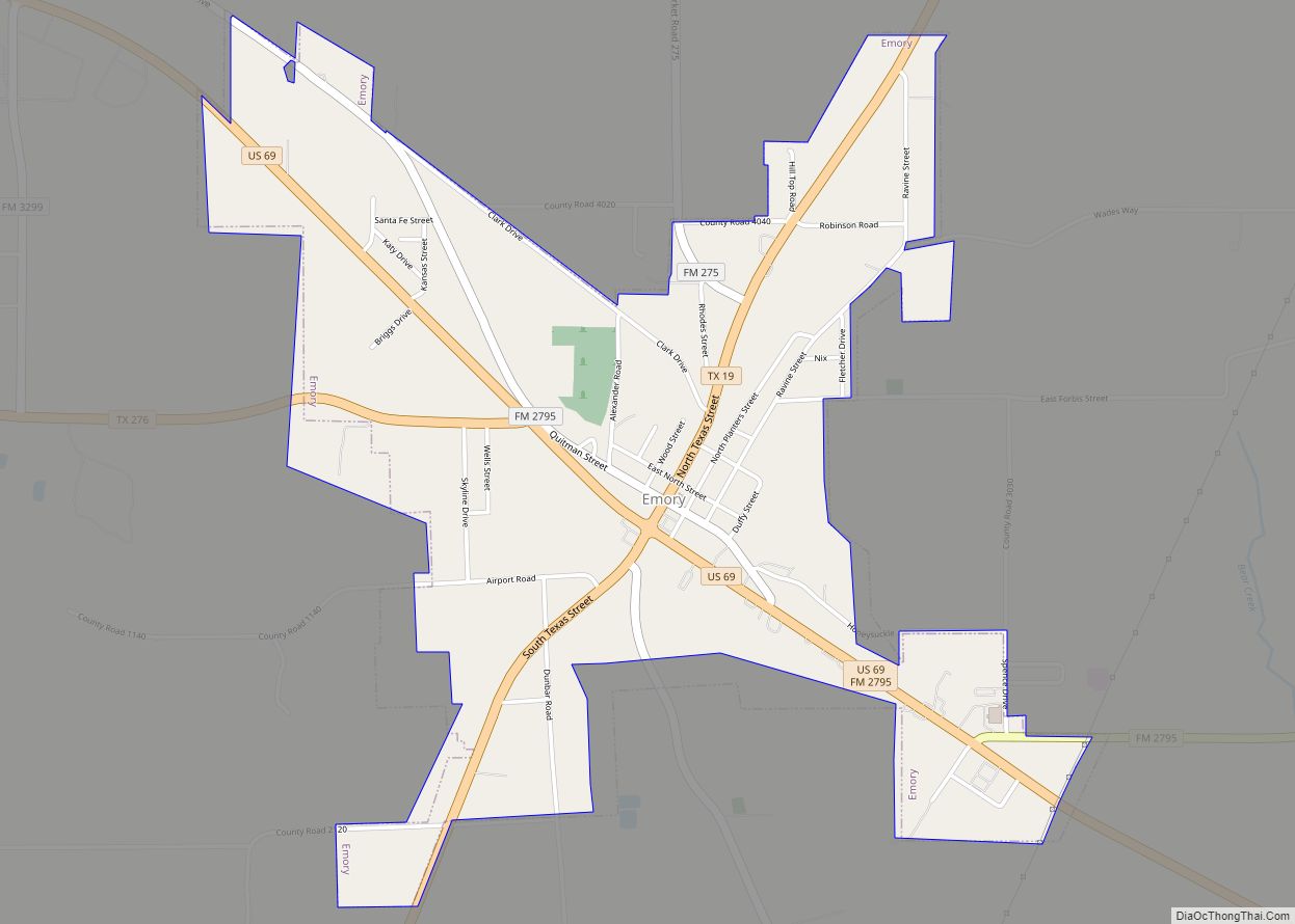
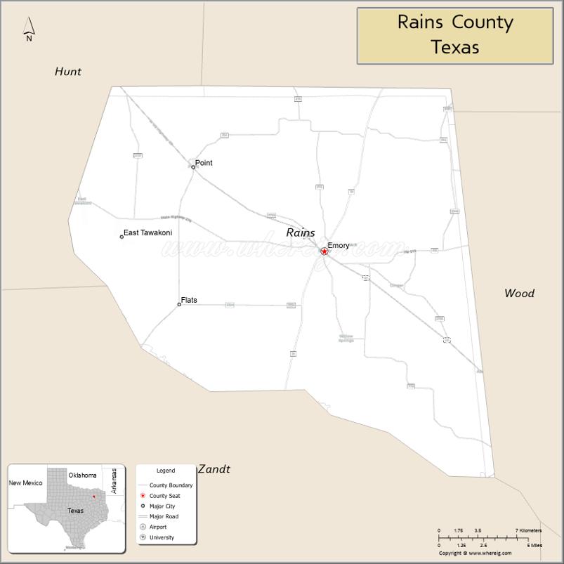
| Seat: | Emory |
| Largest city: | Emory |
| Total Area: | 259 sq mi (670 km²) |
| Land Area: | 229 sq mi (590 km²) |
| Total Population: | 12,164 |
| Population Density: | 47/sq mi (18/km²) |
| Time zone: | UTC−6 (Central) |
| Summer Time Zone (DST): | UTC−5 (CDT) |
| Website: | www.co.rains.tx.us |
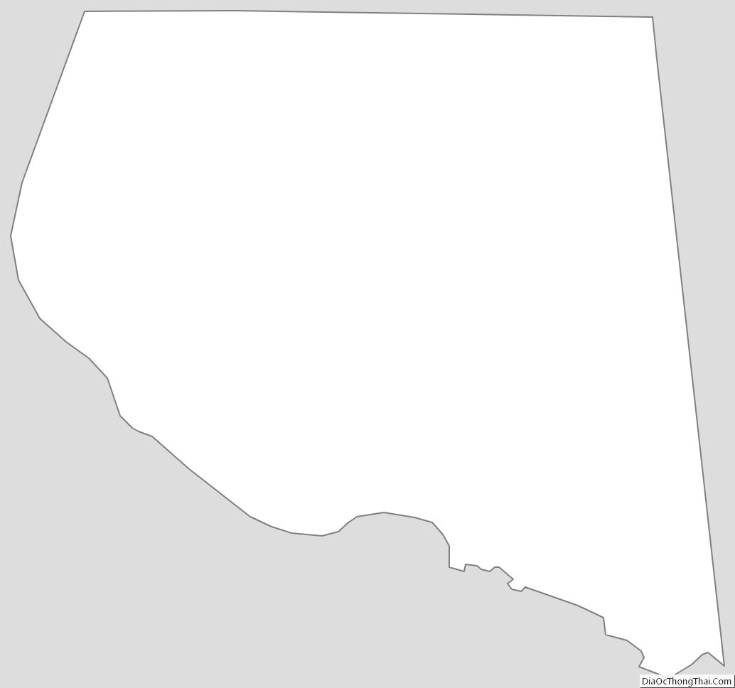
Rains County location map. Where is Rains County?
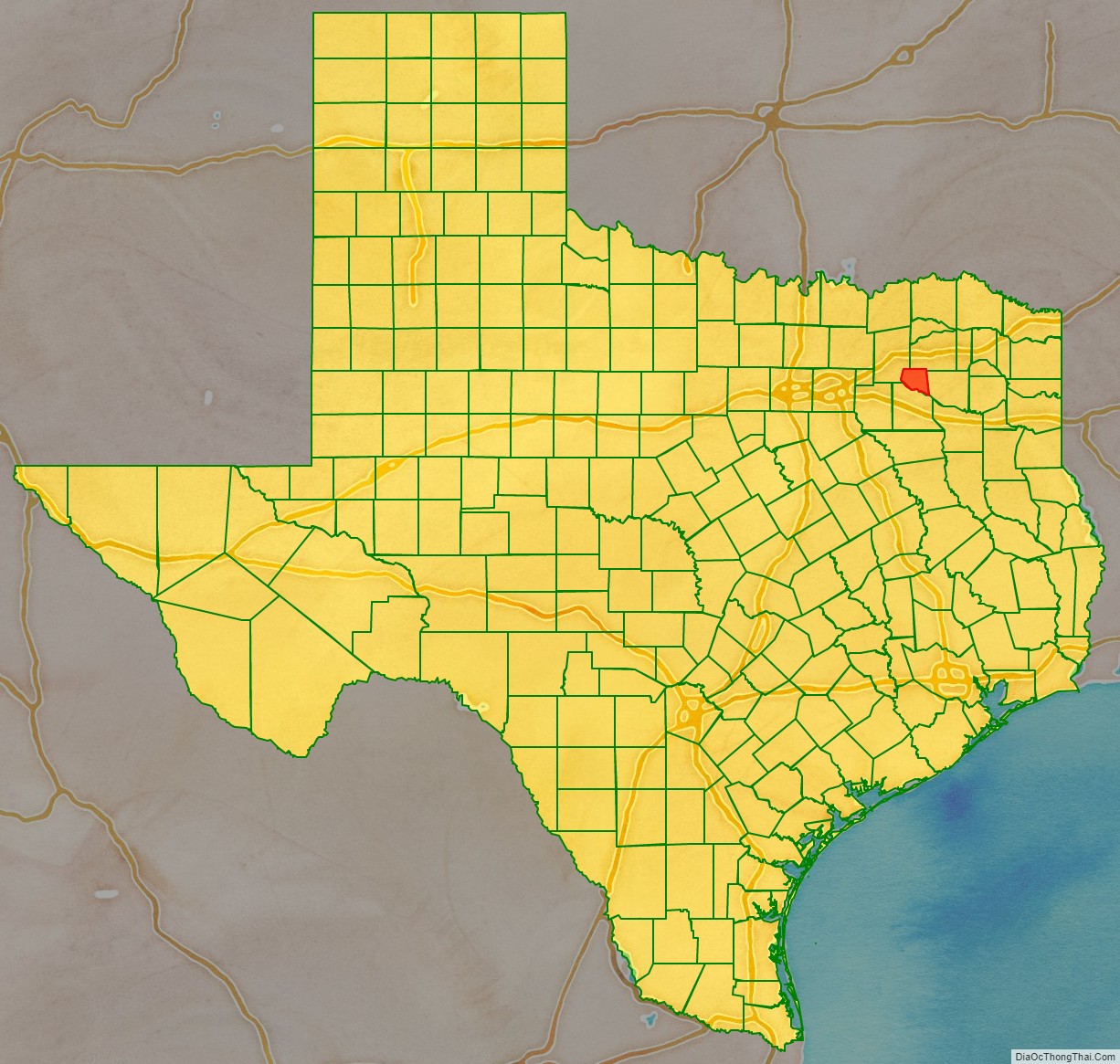
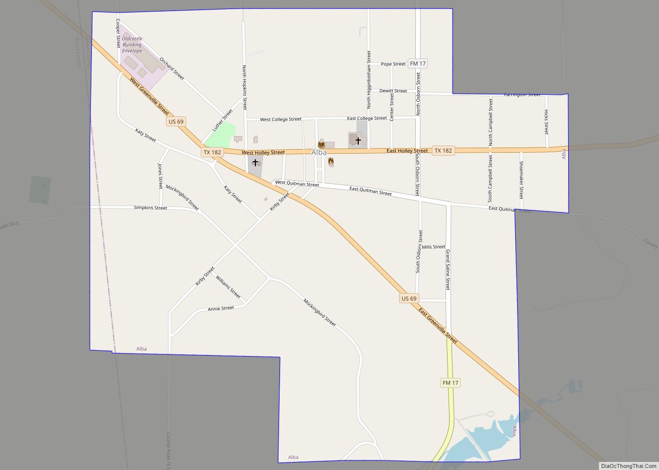
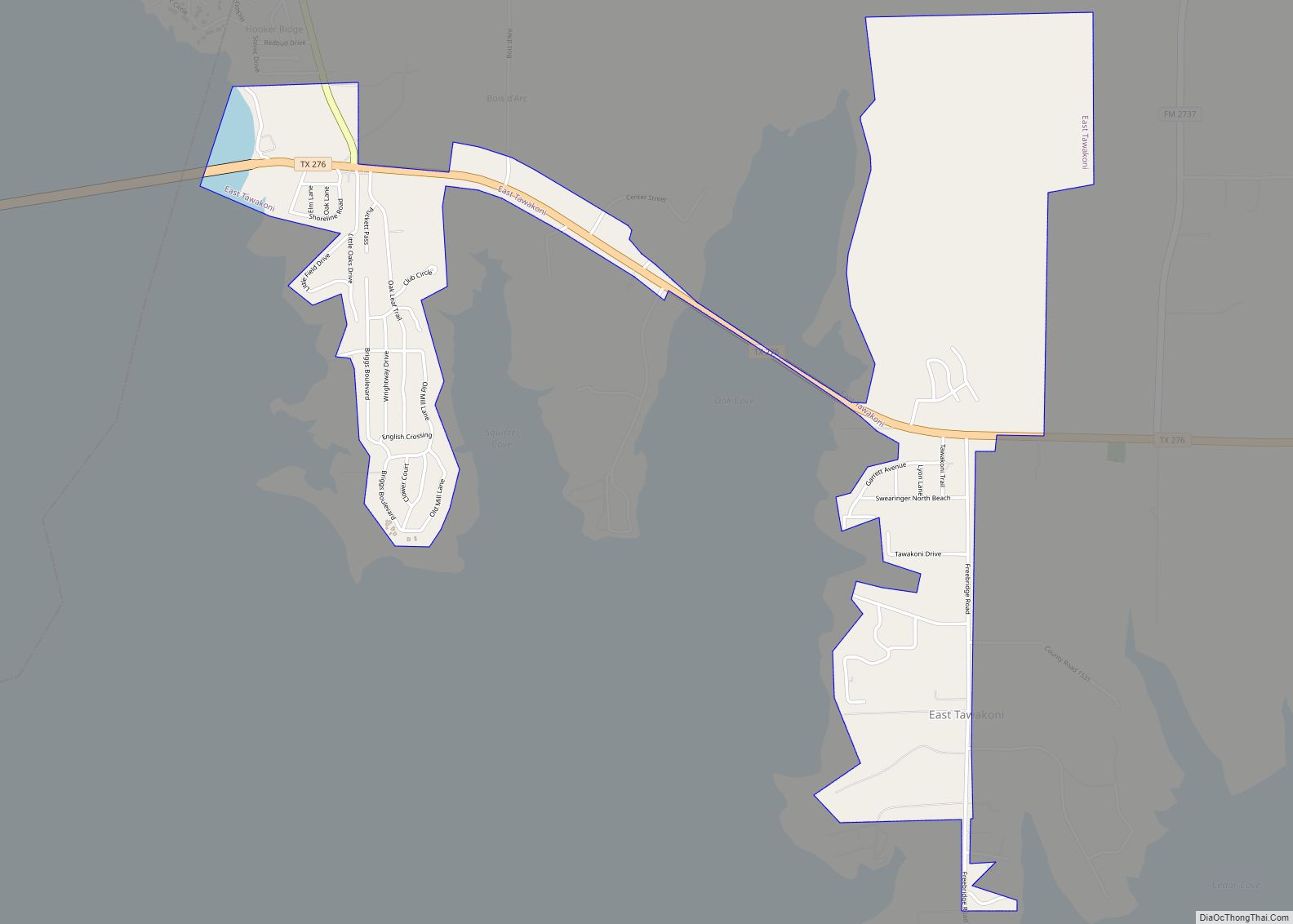
Rains County Road Map
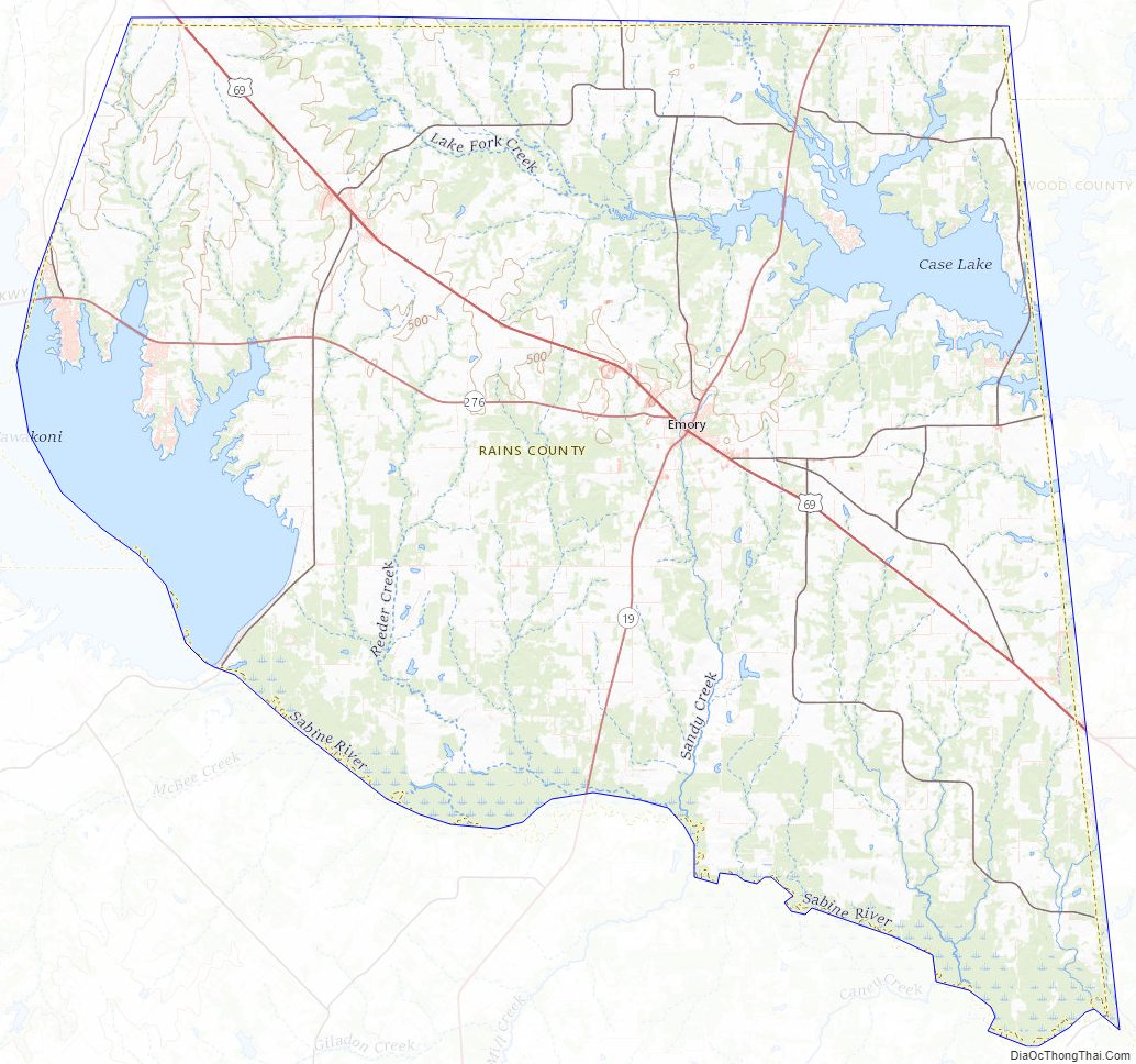
Geography
According to the U.S. Census Bureau, the county has a total area of 259 square miles (670 km), of which 29 square miles (75 km) (11%) are covered by water. It is the fourth-smallest county in Texas by land area and fifth-smallest by total area.
Major highways
- U.S. Highway 69
- State Highway 19
- State Highway 276
Minor highways
- Farm to Market Road 47
- Farm to Market Road 275
- Farm to Market Road 513
- Farm to Market Road 514
- Farm to Market Road 515
- Farm to Market Road 779
- Farm to Market Road 2081
- Farm to Market Road 2324
- Farm to Market Road 2737
- Farm to Market Road 2795
- Farm to Market Road 2946
- Farm to Market Road 3274
- Farm to Market Road 3299
Adjacent counties
- Hopkins County (north)
- Wood County (east)
- Van Zandt County (southwest)
- Hunt County (northwest)
Rains County Topographic Map
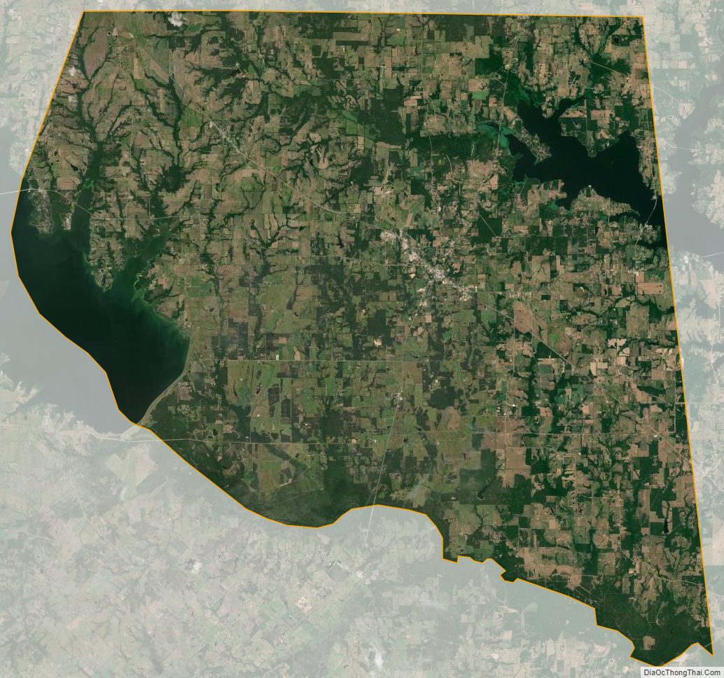
Rains County Satellite Map
Rains County Outline Map