| Name: | Van Zandt County |
|---|---|
| FIPS code: | 48-467 |
| State: | Texas |
| Founded: | 1848 |
| Named for: | Isaac Van Zandt |
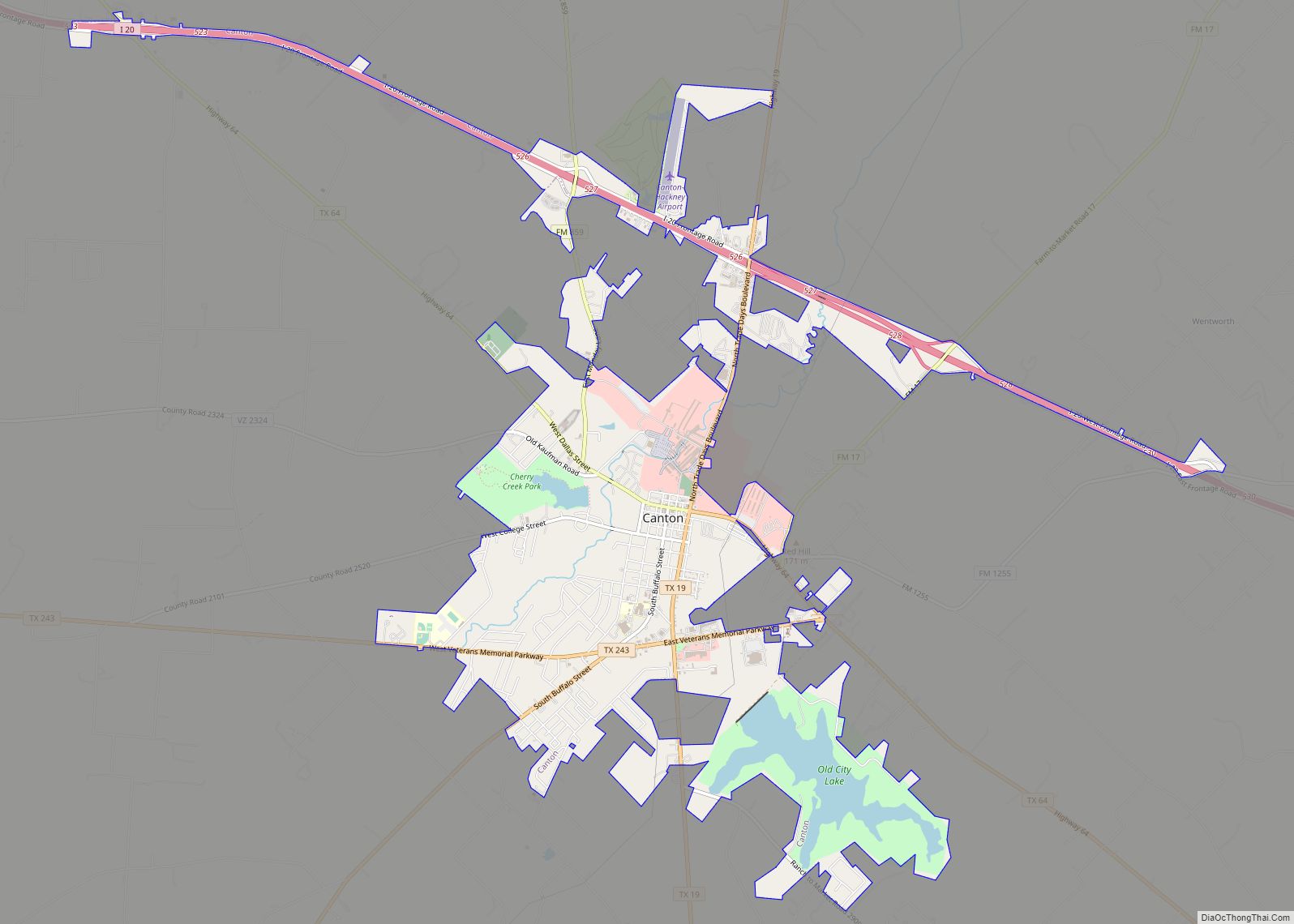
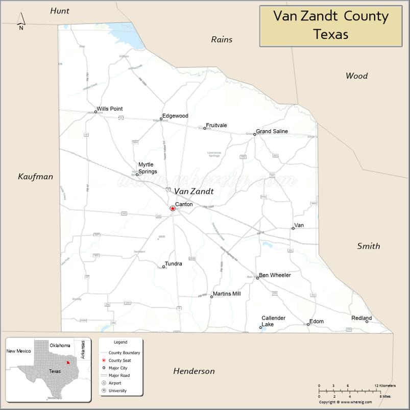
| Seat: | Canton |
| Largest city: | Canton |
| Total Area: | 860 sq mi (2,200 km²) |
| Land Area: | 843 sq mi (2,180 km²) |
| Total Population: | 59,541 |
| Population Density: | 69/sq mi (27/km²) |
| Time zone: | UTC−6 (Central) |
| Summer Time Zone (DST): | UTC−5 (CDT) |
| Website: | www.vanzandtcounty.org |
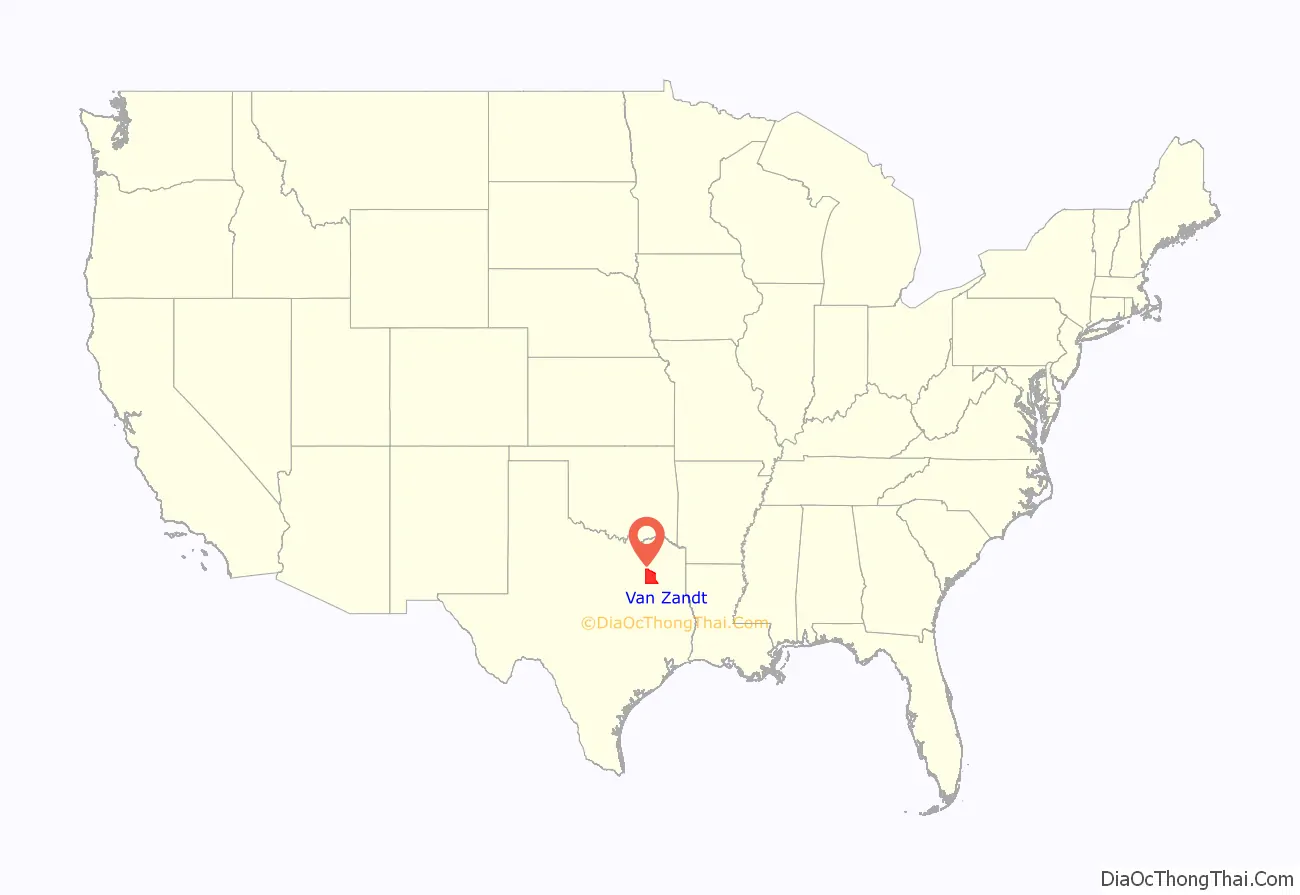
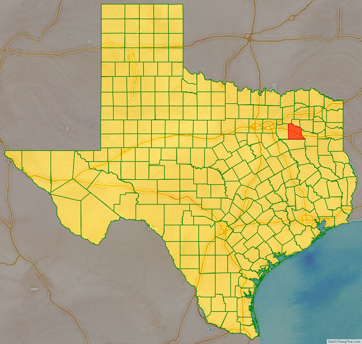
Van Zandt County location map. Where is Van Zandt County?
History
Van Zandt County is commonly known as the Free State of Van Zandt. The title was particularly prevalent through the Reconstruction Era, but is still in use today. Many versions of the county’s history may account for this moniker, and historians, even within the county and throughout its existence, do not agree how exactly it became known as the Free State.
One story of how the Free State of Van Zandt came to be originates with the county’s formation. In 1848, Henderson County was split into three counties: Kaufman, Van Zandt, and what remained as Henderson County. Henderson County had been deeply in debt, yet the new Van Zandt County was founded without any obligations. Many believed that this was a mistake on the state’s part, and bitter citizens and politicians from Henderson County referred to the new county as the Free State.
Van Zandt County tried on two distinct occasions to separate itself from Texas. The first was in 1861 when Texas seceded from the United States. About 350 citizens of Van Zandt County met to protest the secession. The practice of slavery was infrequent in the county. Slave owners, worried about losing their slaves in the Civil War, refused to bring their slaves to Van Zandt, because slavery was so uncommon there. The majority of Van Zandt wanted to stay with the Union, and reasoned that if Texas could secede from the United States, they could secede from Texas, and began organizing a government until they were threatened with military intervention. Although the secession was unsuccessful, the title of “Free State” stuck.
After Texas re-entered the Union after the Civil War, Van Zandt County again tried to secede from Texas, the Confederate States of America, and the United States. A convention was held in 1867 in which the citizens elected delegates, and the delegates voted for secession, and penned a Declaration of Independence modeled after the United States Declaration of Independence. The event was seen as a rebellion by the nation, and when word reached General Sheridan, he dispatched a cavalry unit to quell it. The citizens of Van Zandt called an emergency meeting that ended with the delegates declaring war on the United States. The wooded landscape at the time made moving difficult for horses, so the citizens of Van Zandt, familiar with the area, were able to ambush the unit, until they retreated. The citizens, elated with their victory, celebrated with an excess of alcohol. During their celebration, they were surrounded by Sheridan’s troops, and were put in anklets and in a rough prison of wooden posts. Two ex-Confederate soldiers, W.A. Allen and Hardy Allen, were in the group, and W.A. Allen used a hidden knife to wear down the anklets. A combination of the beginning of the rainy season and a decreasing of the guard to one man allowed the prisoners to easily escape. After that, not much action on the part of Van Zandt or the United States was taken in the issue. Arrest warrants were sent, but none was carried out, and none of the prisoners went to trial.
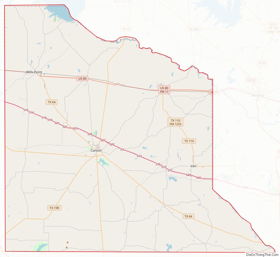
Van Zandt County Road Map
Geography
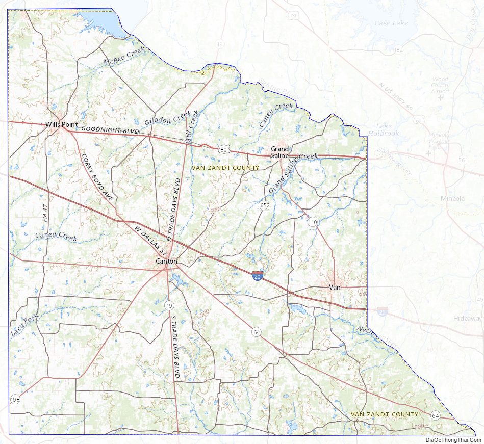
According to the U.S. Census Bureau, the county has a total area of 860 sq mi (2,200 km), of which 17 square miles (44 km) (2.0%) are covered by water. Van Zandt County is unique in topography. The western and northwestern parts of the county are in the eastern edge of the Texas Blackland Prairies, the central part of the county is located in the post oak belt of Northeast Texas, and the eastern part of the county stretches into the East Texas Piney Woods. Two major rivers, the Neches and the Sabine, flow through Van Zandt County. Van Zandt County is referred to as the “Gateway to East Texas” due to its diverse topography.
Major highways
- Interstate 20
- U.S. Highway 80
- State Highway 19
- State Highway 64
- State Highway 110
- State Highway 198
Adjacent counties
- Rains County (north)
- Wood County (northeast)
- Smith County (east)
- Henderson County (south)
- Kaufman County (west)
- Hunt County (northwest)
Van Zandt County Topographic Map
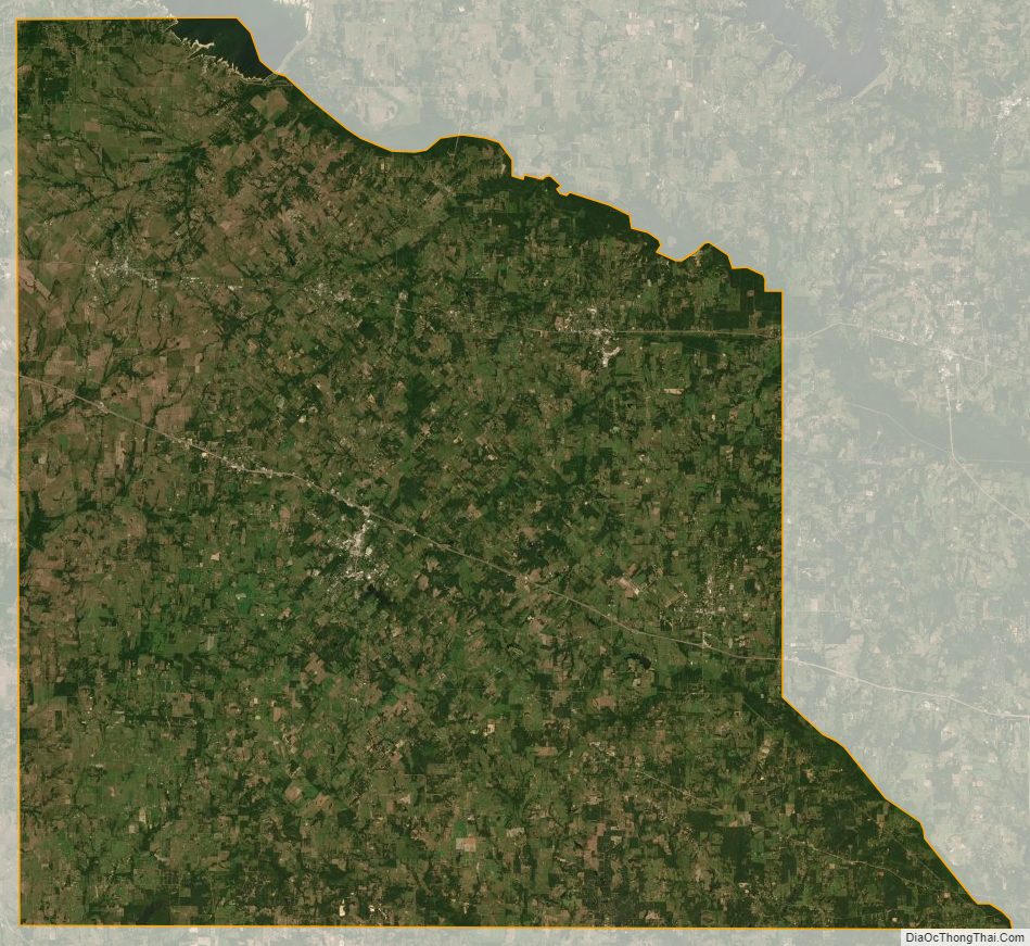
Van Zandt County Satellite Map
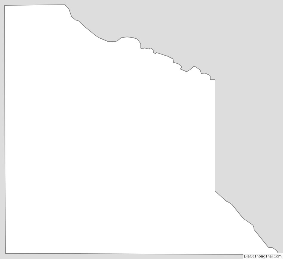
Van Zandt County Outline Map