Robertson County is a county located in the U.S. Commonwealth of Kentucky. As of the 2020 census, the population was 2,193. Its county seat is Mount Olivet. The county is named for George Robertson, a Kentucky Congressman from 1817 to 1821. It is Kentucky’s smallest county by both total area and by population.
| Name: | Robertson County |
|---|---|
| FIPS code: | 21-201 |
| State: | Kentucky |
| Founded: | 1867 |
| Named for: | George Robertson |
| Seat: | Mount Olivet |
| Largest city: | Mount Olivet |
| Total Area: | 100 sq mi (300 km²) |
| Land Area: | 100 sq mi (300 km²) |
| Total Population: | 2,193 |
| Population Density: | 22/sq mi (8.5/km²) |
| Time zone: | UTC−5 (Eastern) |
| Summer Time Zone (DST): | UTC−4 (EDT) |
| Website: | www.robertsoncounty.ky.gov |
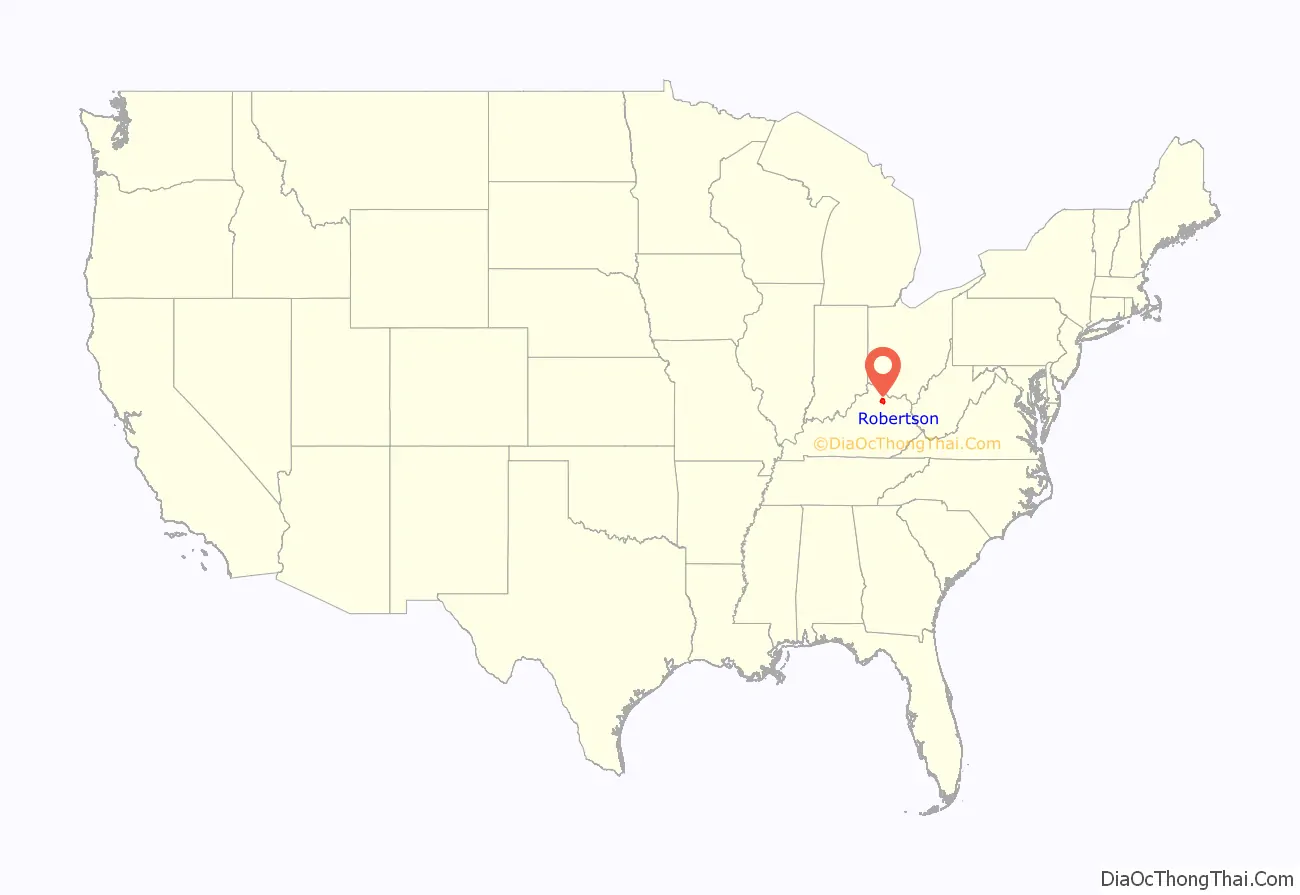
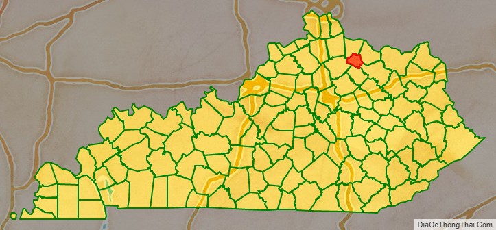
Robertson County location map. Where is Robertson County?
History
Robertson County was formed on February 11, 1867, from portions of Bracken County, Harrison County, Mason County and Nicholas County. It was named after George Robertson, a judge and member of Congress.
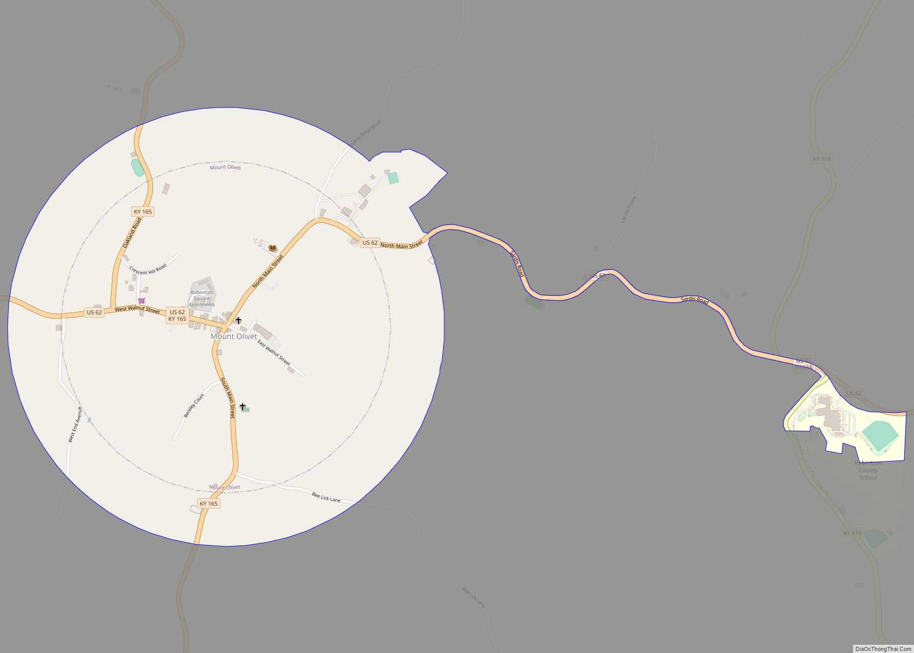
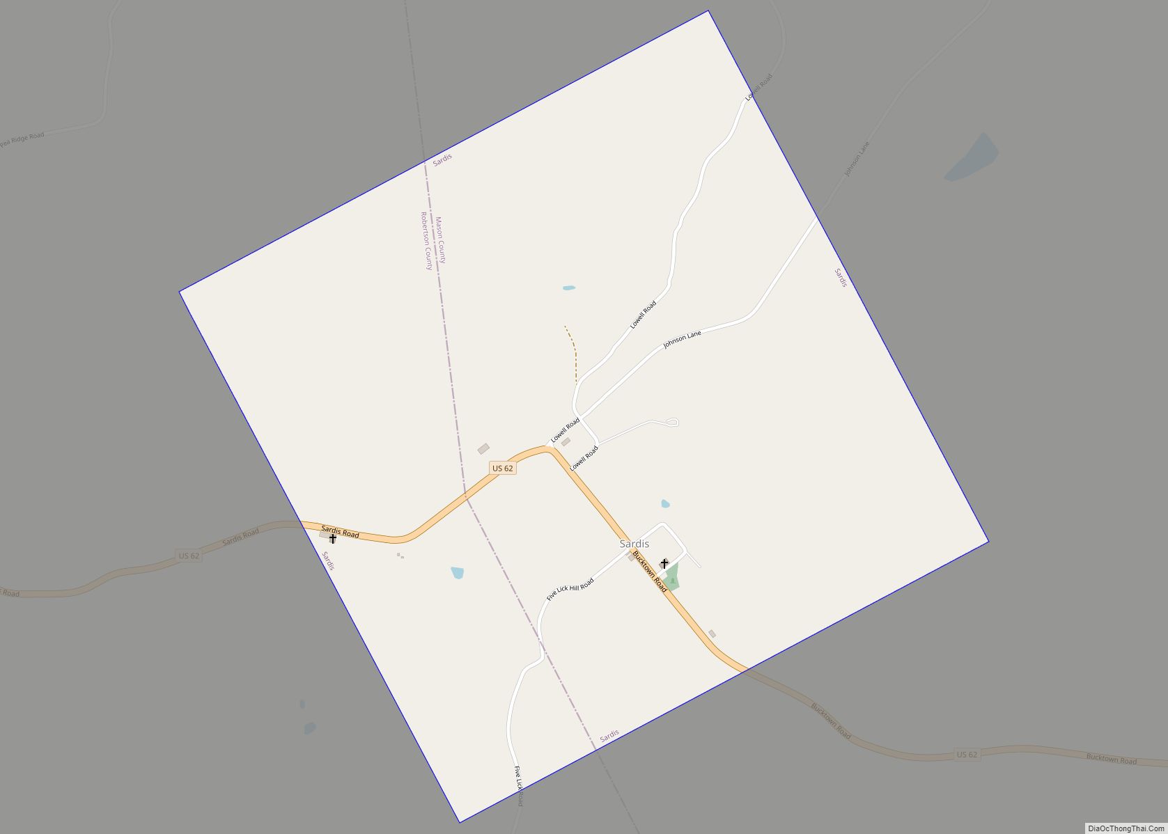
Robertson County Road Map
Geography
According to the U.S. Census Bureau, the county has a total area of 100 square miles (260 km), of which 100 square miles (260 km) is land and 0.2 square miles (0.52 km) (0.2%) is water. It is the smallest county by area in Kentucky.
Adjacent counties
- Bracken County (north)
- Mason County (northeast)
- Fleming County (southeast)
- Nicholas County (south)
- Harrison County (west)


