Bracken County is a county located in the U.S. state of Kentucky. As of the 2020 census, the population was 8,400. Its county seat is Brooksville. The county was formed in 1796. Bracken County is included in the Cincinnati-Middletown, OH-KY-IN Metropolitan Statistical Area.
| Name: | Bracken County |
|---|---|
| FIPS code: | 21-023 |
| State: | Kentucky |
| Founded: | 1796 |
| Named for: | William Bracken |
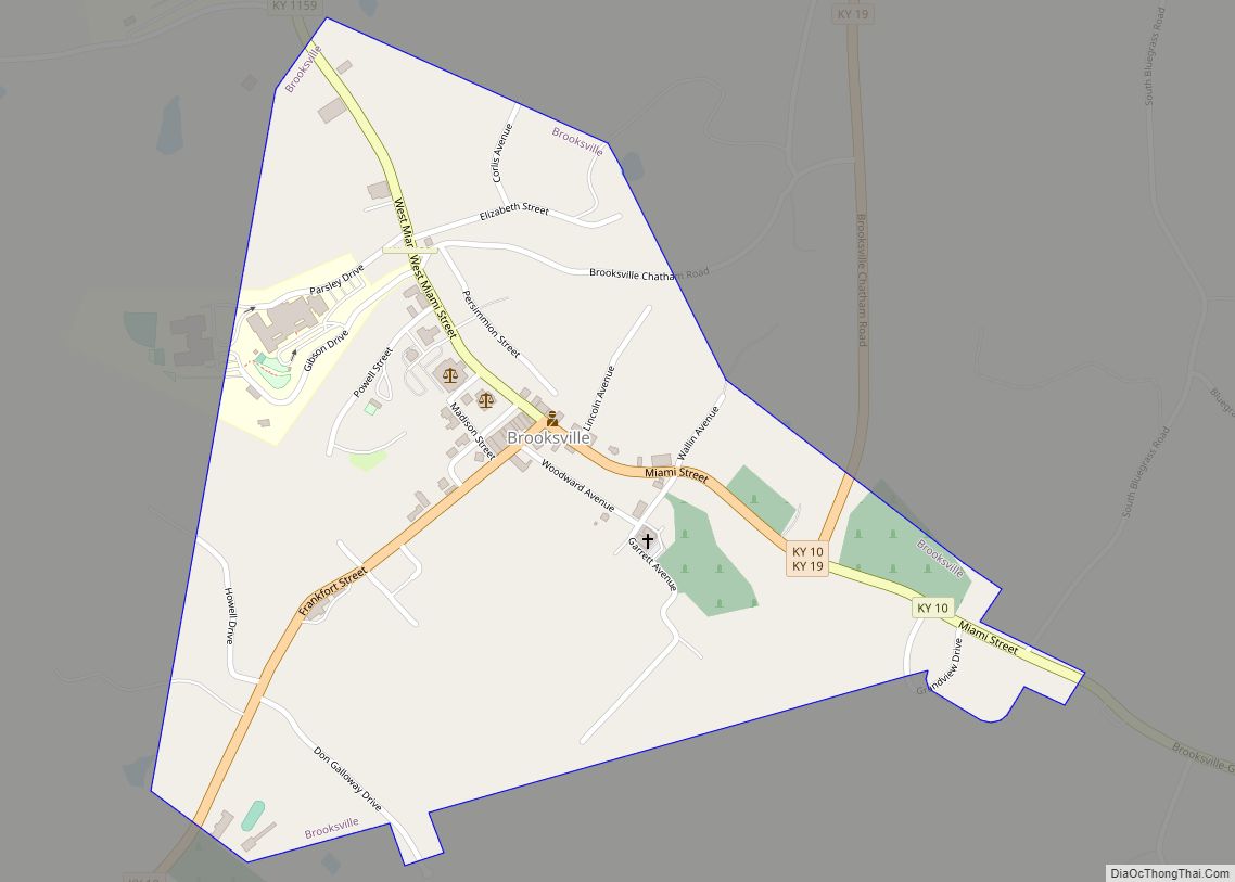
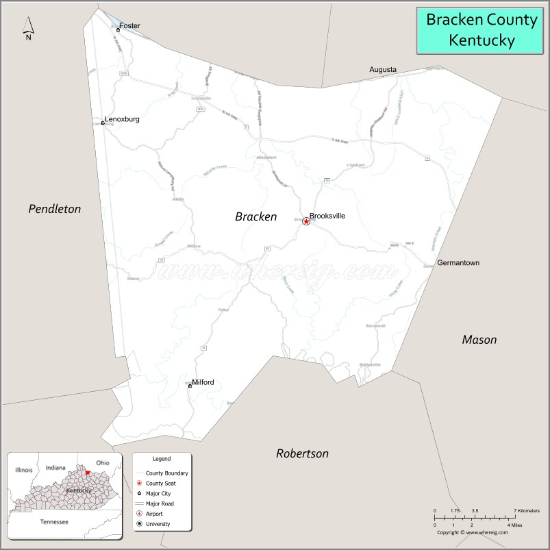
| Seat: | Brooksville |
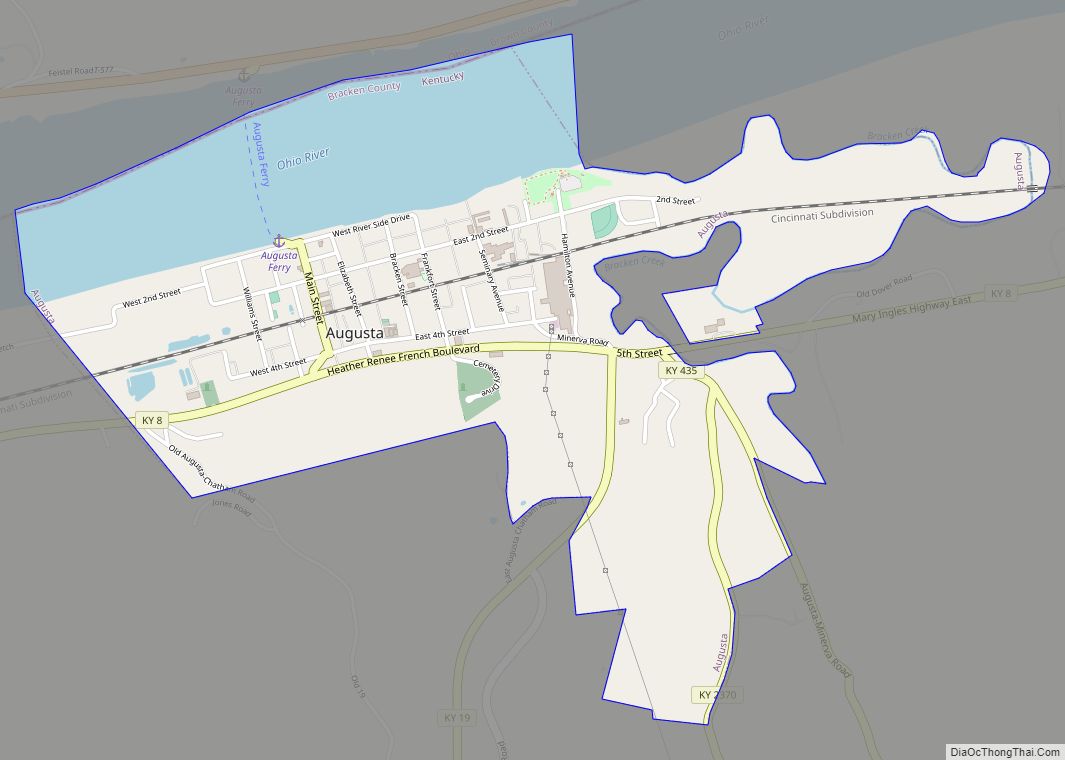
| Largest city: | Augusta |
| Total Area: | 209 sq mi (540 km²) |
| Land Area: | 206 sq mi (530 km²) |
| Total Population: | 8,400 |
| Population Density: | 40/sq mi (16/km²) |
| Time zone: | UTC−5 (Eastern) |
| Summer Time Zone (DST): | UTC−4 (EDT) |
| Website: | www.brackencounty.ky.gov |
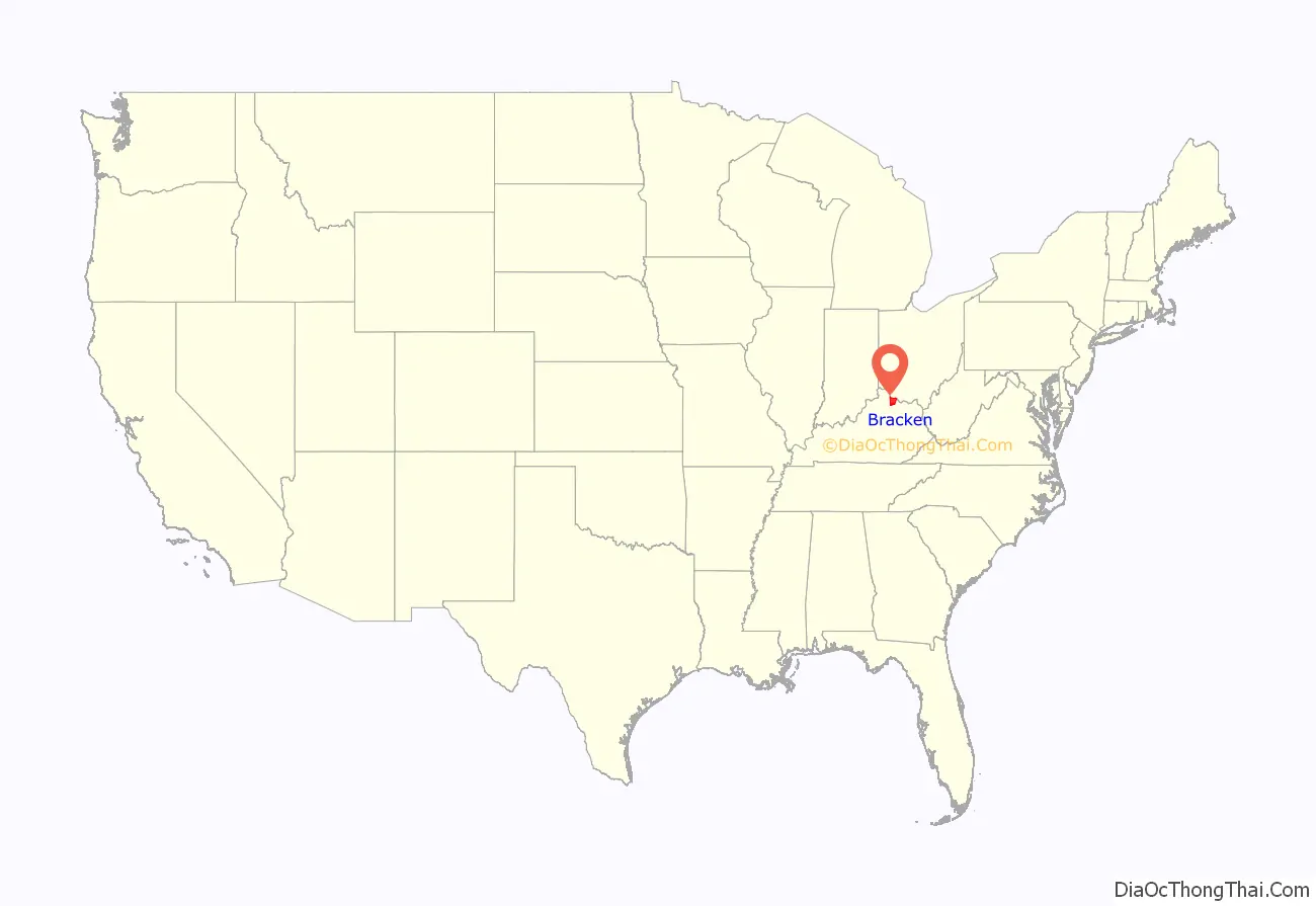
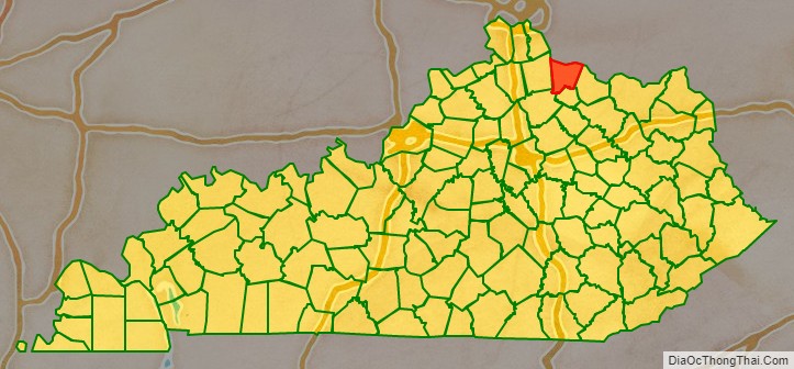
Bracken County location map. Where is Bracken County?
History
Bracken County was organized as Kentucky’s 23rd county in 1796 from parts of Mason and Campbell counties. It was named after two creeks, the Big and Little Bracken, which in turn were named for Matthew Bracken, an 18th-century explorer and surveyor who visited the area in 1773. He was later killed by Indians during the Northwest Indian War. The county originally extended to southern Nicholas County, north to the Ohio River, west to the Licking River and east to Dover, Kentucky.
Several early settlers were veterans of the American Revolutionary War, including Captain Abner Howell, who brought his family came from Pennsylvania. He died in Bracken County in 1797.
The county government moved from Augusta to Woodward’s Crossing (now Brooksville) in 1833.
Bracken was the birthplace of John Gregg Fee, founder of Berea College and Kentucky’s most noted abolitionist. He was a graduate of Augusta College and Lane Theological Seminary. In 1822 Augusta College was founded as the first Methodist college in the world.
Anti-slavery activists in Bracken County played a major role in the movement known as the Underground Railroad. There are several Underground Railroad sites in the Augusta area. A network of citizens sympathetic to escaping slaves helped them cross the Ohio River to nearby Ripley, Ohio and other points north.
Bracken County’s economy was largely agricultural. Its chief crops before the Civil War were tobacco and corn. White burley tobacco, a light, adaptable leaf that revolutionized the industry, was first sold at the 1867 St. Louis Fair by the farmer Mr. Webb from Higginsport, Ohio. He had produced it in 1864 from Bracken County seed and developed the type. It became a major product of central Kentucky and central Tennessee.
Agriculture remains vital to the economy, with farms occupying 83.8 percent of the land area in 1982. Commodities include wheat, hay, and milk. Burley tobacco production in 1988 amounted to 5,406,000 pounds. Agricultural receipts in 1986 totaled $19,158,000.
Historic schools
Augusta:
- Bracken Academy
- Augusta Methodist College
Brooksville:
- Saint James Elementary and High School
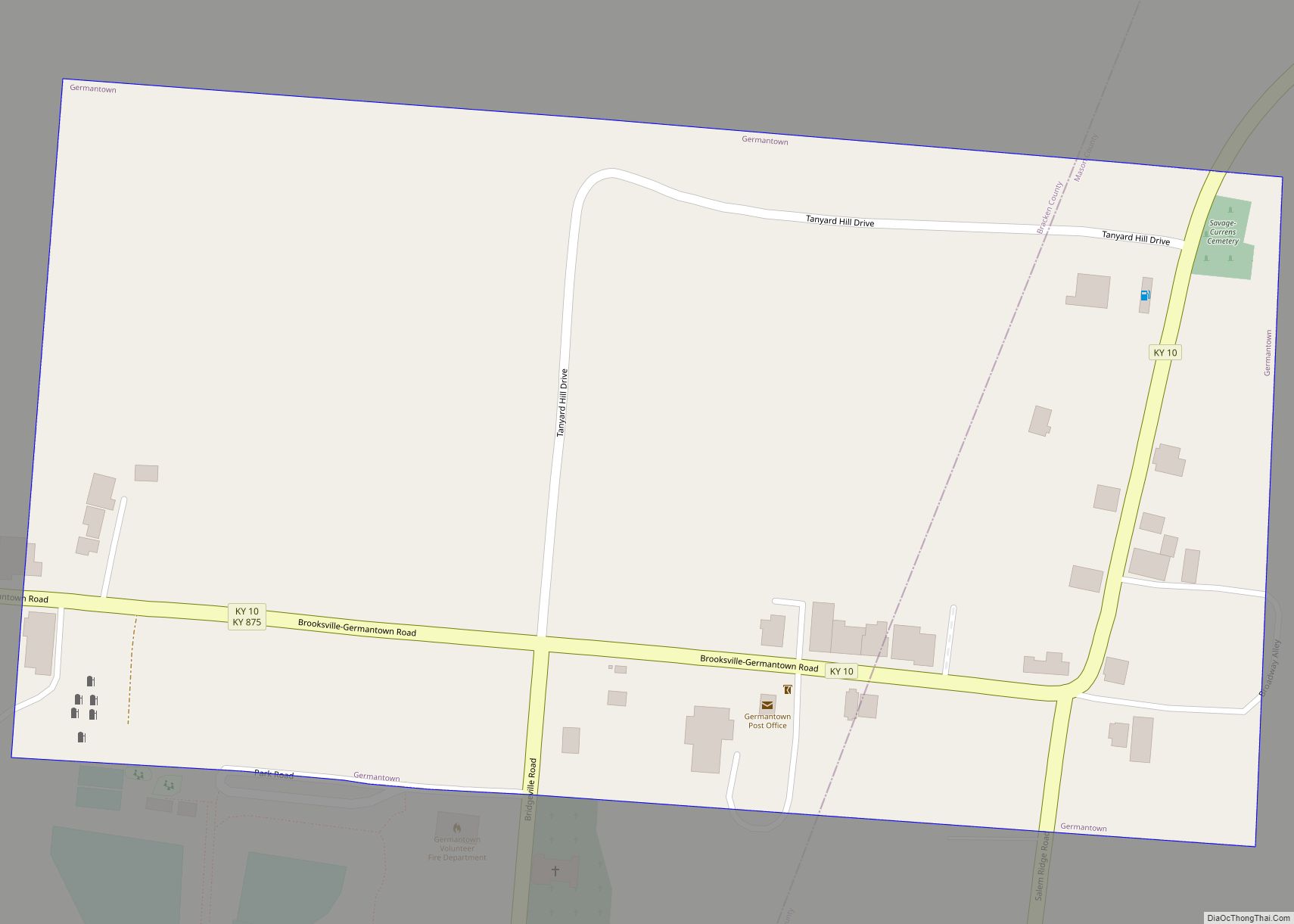
Germantown:
- Germantown College
Milford:
- Milford Graded and High School
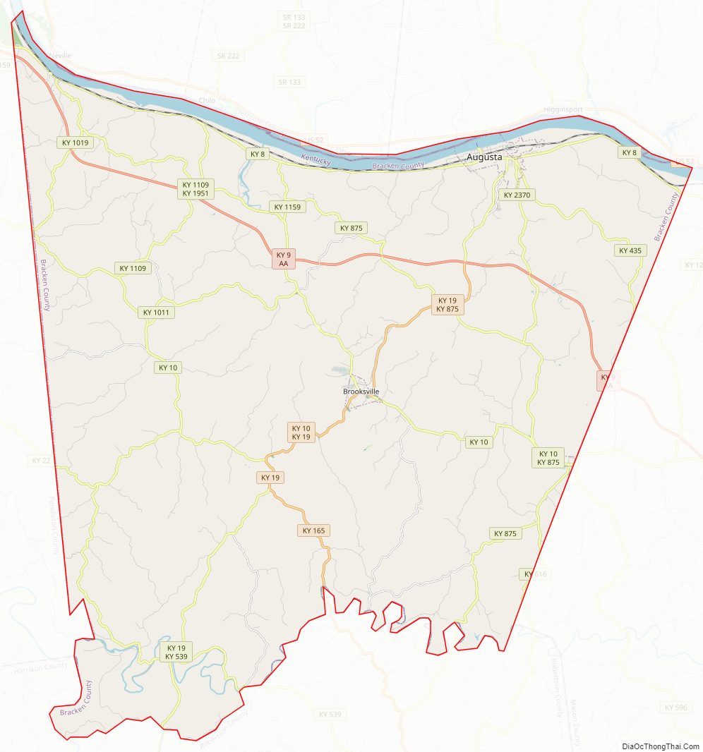
Bracken County Road Map
Geography
According to the U.S. Census Bureau, the county has a total area of 209 square miles (540 km), of which 206 square miles (530 km) is land and 3.3 square miles (8.5 km) (1.6%) is water.
Adjacent counties
- Clermont County, Ohio (north – across the Ohio River)
- Brown County, Ohio (northeast – across the Ohio River)
- Mason County (east)
- Robertson County (south)
- Harrison County (southwest)
- Pendleton County (west)
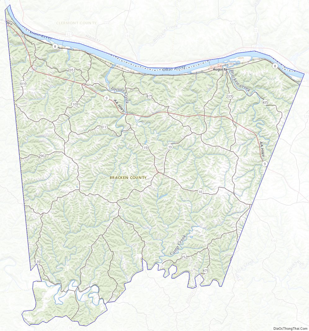
Bracken County Topographic Map
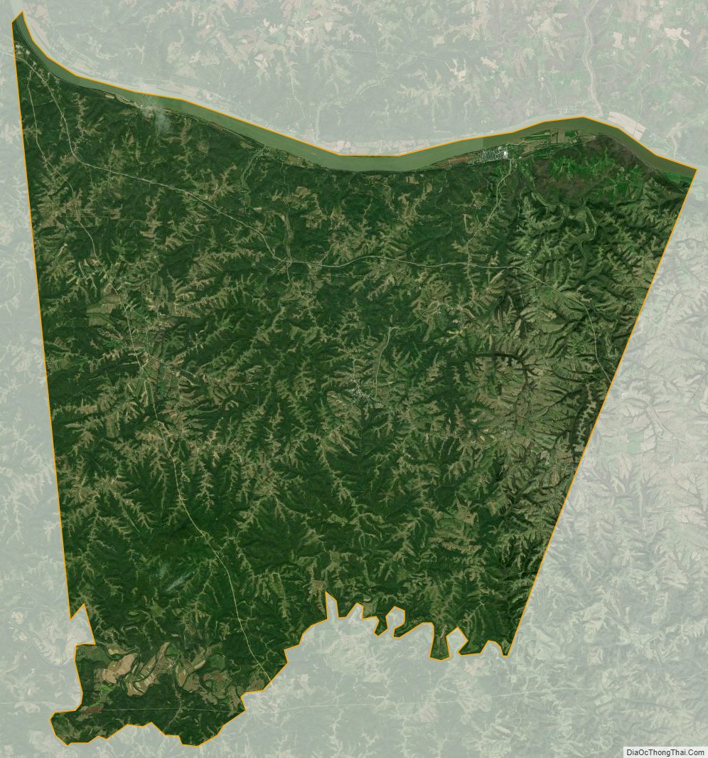
Bracken County Satellite Map
Bracken County Outline Map