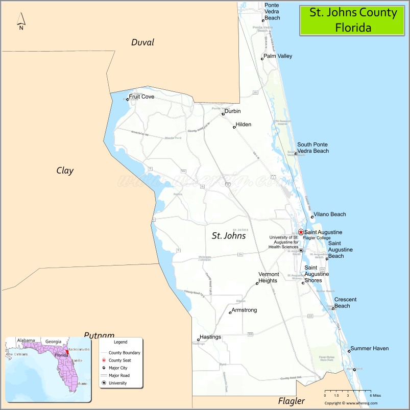
St. Johns County is a county in the northeastern part of the U.S. state of Florida. As of the 2020 United States Census, its population was 273,425. The county seat and largest incorporated city is St. Augustine. St. Johns County is part of the Jacksonville metropolitan area.
The county was established in 1821. It is one of the two original counties established after Florida was ceded to the United States, at the start of the Florida Territorial period, and corresponded roughly to the former colonial province of East Florida. It was named for the St. Johns River, which runs along its western border.
Today, St. Johns County primarily comprises residential bedroom communities for those who commute to Jacksonville. Tourism, primarily associated with St. Augustine and the many golf courses in the area, is the chief economic industry.
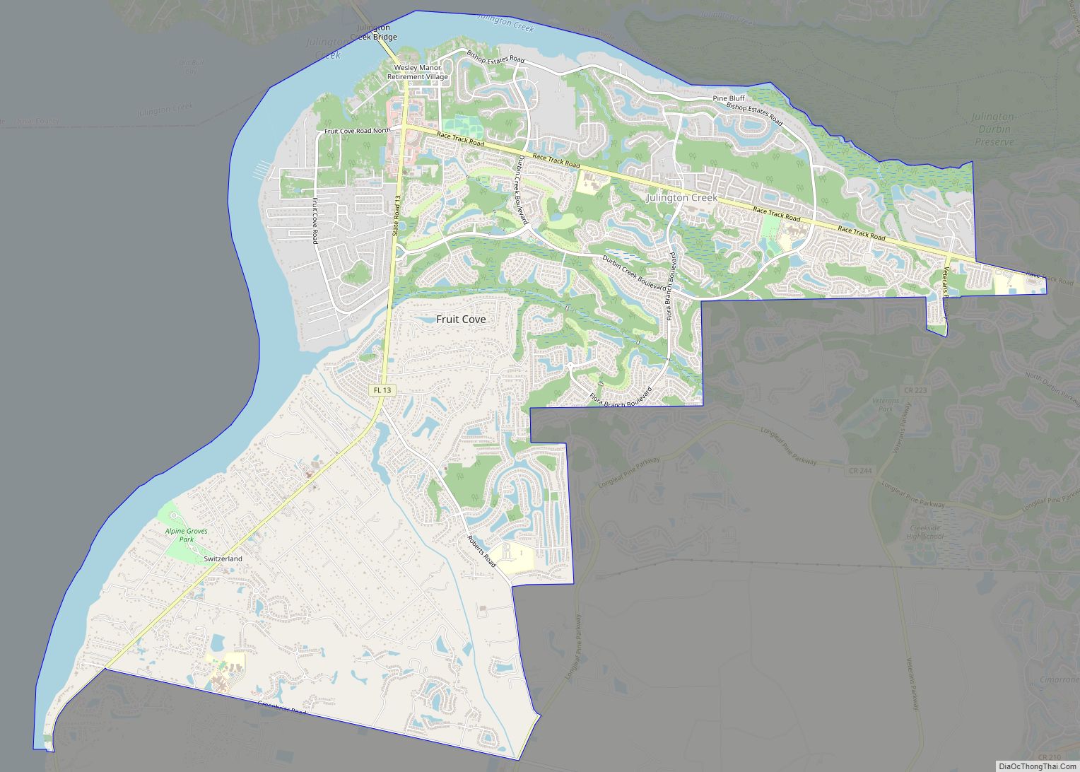
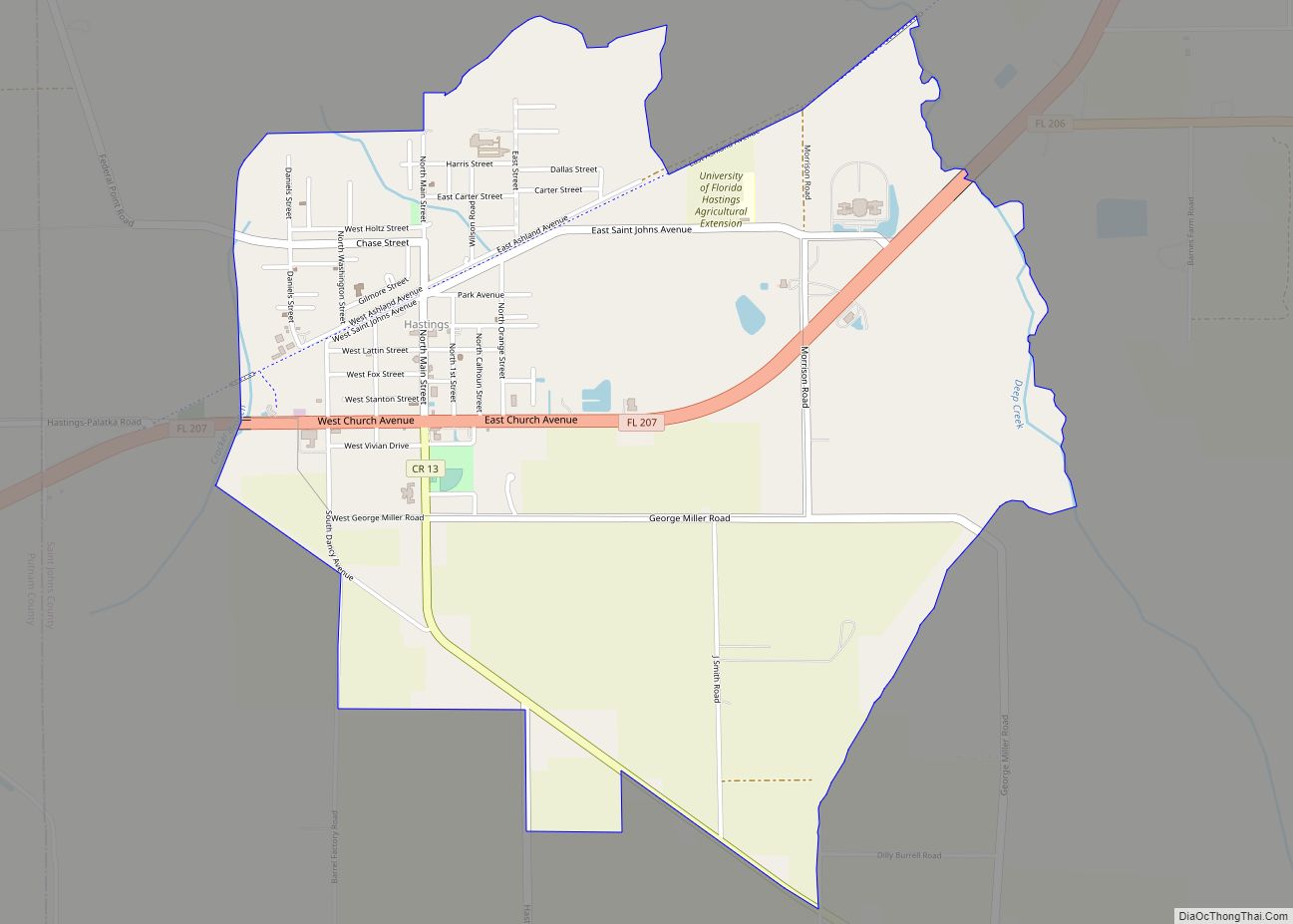
There is also an unincorporated community named Saint Johns in northwestern St. Johns County.
| Name: | St. Johns County |
|---|---|
| FIPS code: | 12-109 |
| State: | Florida |
| Founded: | July 21, 1821 |
| Named for: | San Juan del Puerto |
| Seat: | St. Augustine |
| Largest city: | St. Augustine |
| Total Area: | 822 sq mi (2,130 km²) |
| Land Area: | 601 sq mi (1,560 km²) |
| Total Population: | 273,425 |
| Population Density: | 455/sq mi (176/km²) |
| Time zone: | UTC−5 (Eastern) |
| Summer Time Zone (DST): | UTC−4 (EDT) |
| Website: | www.sjcfl.us |
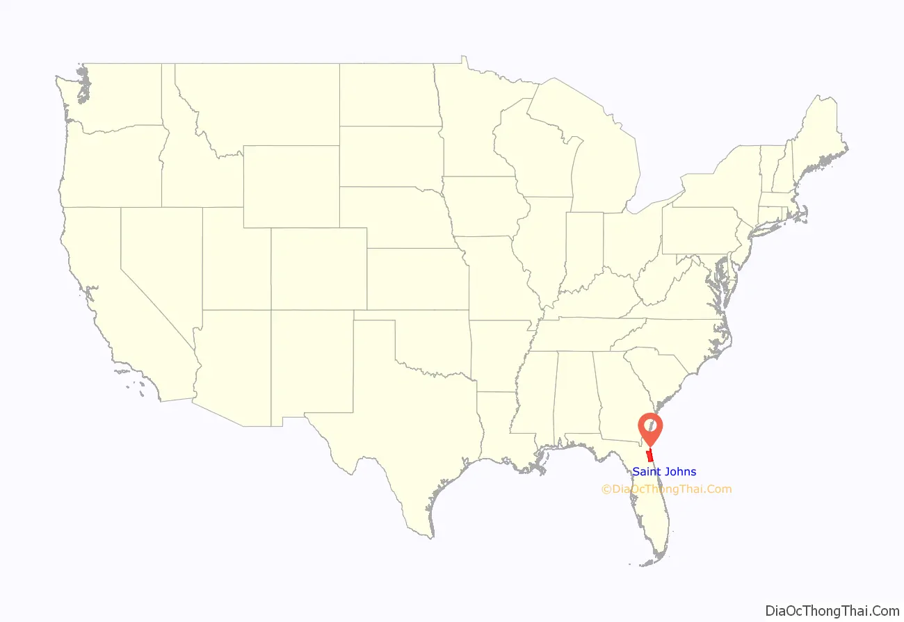
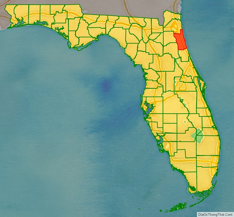
St. Johns County location map. Where is St. Johns County?
History
St. Johns County’s history begins in 1821, when Colonel Robert Butler received Spanish East Florida from Captain-General Colonel José M. Coppinger. Butler represented Major General Andrew Jackson, federal military commissioner for the Florida provinces (las Floridas) with the powers of governor, exercising the powers of the Captain General and the Intendants of the Island of Cuba and the governors of the said provinces, respectively, who ordained that all the country east of the river Suwannee should be designated the County of St. Johns.
St. Johns was established, along with Escambia County (in the former West Florida province), on July 21, 1821, 11 days after Butler received Florida for the United States, and five days after the city of St. Augustine was incorporated.
The name Saint John’s was derived from the Spanish mission (c. 1580) San Juan del Puerto (“Saint John of the Harbor”). The U.S. Department of the Interior dropped the apostrophe in 1932 because an apostrophe implied ownership.
It was a huge county, encompassing most of peninsular Florida, more than 39,000 square miles; it was 475 miles long by 165 miles wide. Much of the land was uninhabited. Saint Augustine (1565) was the oldest permanent European settlement, and there were Native Americans in the county as well.
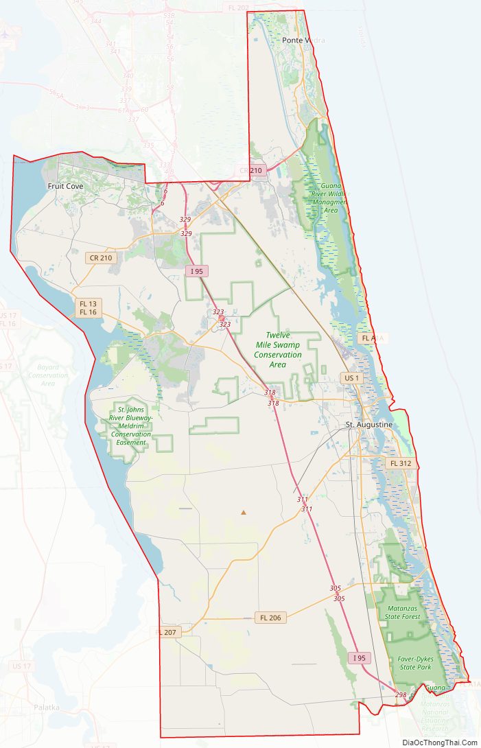
St. Johns County Road Map
Geography
According to the U.S. Census Bureau, the county has an area of 822 square miles (2,130 km), of which 601 square miles (1,560 km) is land and 221 square miles (570 km) (26.9%) is water.
Adjacent counties
- Duval County, Florida – north
- Flagler County, Florida – south
- Putnam County, Florida – southwest
- Clay County, Florida – west
National protected areas
- Castillo de San Marcos National Monument
- Fort Matanzas National Monument
- Guana Tolomato Matanzas National Estuarine Research Reserve
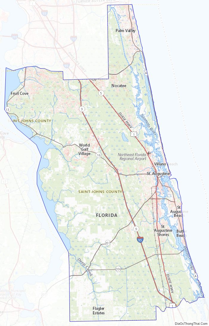
St. Johns County Topographic Map
St. Johns County Satellite Map
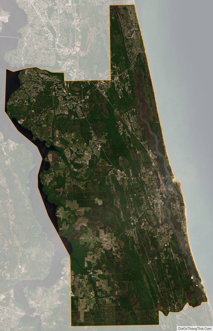
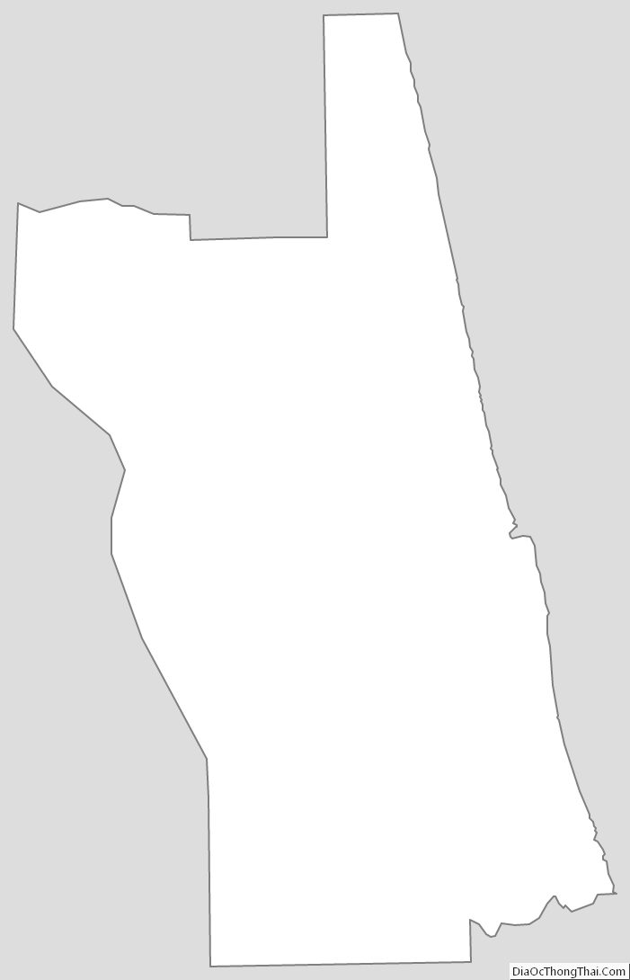
St. Johns County Outline Map