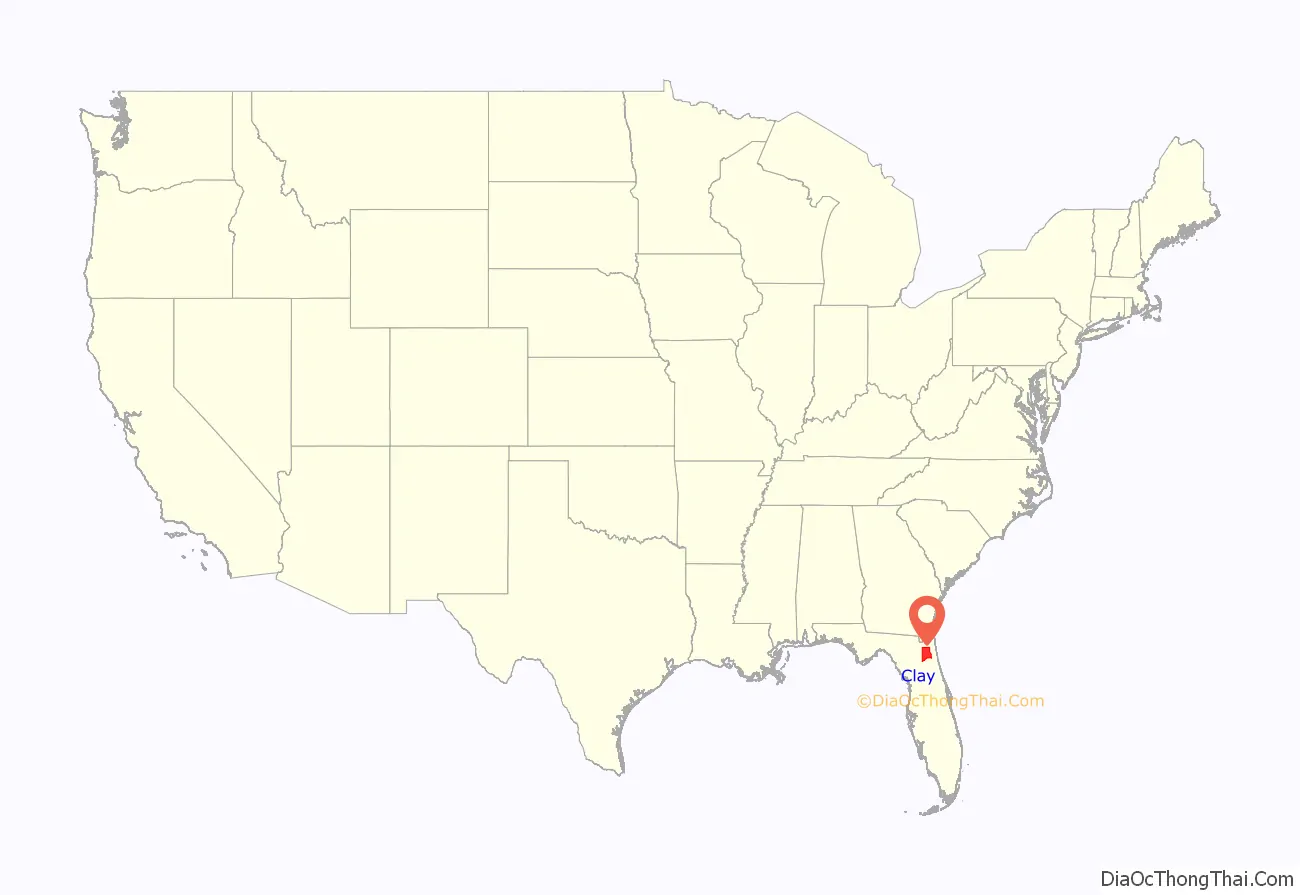
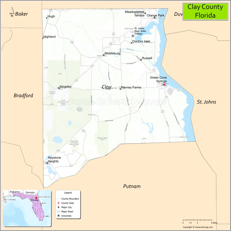
Clay County is located in the northeastern part of the U.S. state of Florida. As of 2020, the population was 218,245. Its county seat is Green Cove Springs. It is included in the Jacksonville metropolitan statistical area. It is named in honor of Henry Clay, a famous American statesman, member of the United States Senate from Kentucky, and United States Secretary of State in the 19th century.
| Name: | Clay County |
|---|---|
| FIPS code: | 12-019 |
| State: | Florida |
| Founded: | December 31, 1858 |
| Named for: | Henry Clay |
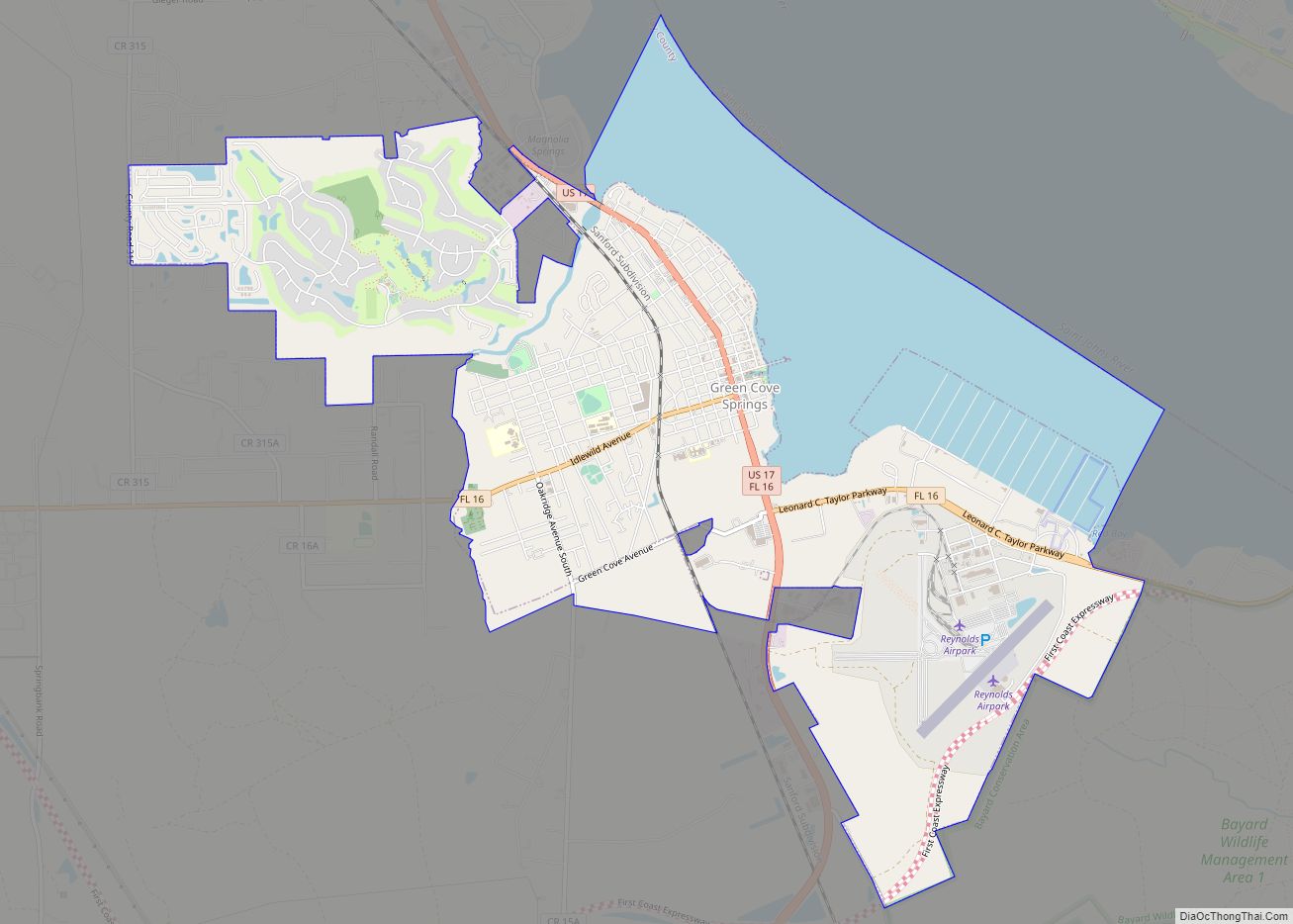
| Seat: | Green Cove Springs |
| Largest city: | Green Cove Springs |
| Total Area: | 644 sq mi (1,670 km²) |
| Land Area: | 604 sq mi (1,560 km²) |
| Total Population: | 218,245 |
| Population Density: | 352/sq mi (136/km²) |
| Time zone: | UTC−5 (Eastern) |
| Summer Time Zone (DST): | UTC−4 (EDT) |
| Website: | www.claycountygov.com |
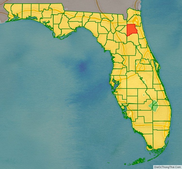
Clay County location map. Where is Clay County?
History
Early in the 19th century, Zephaniah Kingsley built his prosperous Laurel Grove Plantation, planting oranges and trading slaves, where Orange Park is today.
Clay County was created on December 31, 1858, from a section of Duval County. The area was once a popular destination for tourists because of its hot springs and mild climate. Steamboats brought them to various hotels in Green Cove Springs, such as the St. Elmo, Clarendon, and Oakland. President Grover Cleveland was the most prominent of such tourists and had spring water shipped to the White House. Clay County’s popularity among tourists peaked during the last three decades of the 19th century. Tourism later waned because of Henry Flagler’s extension of the Florida East Coast Railway to other destinations such as Palm Beach and Miami.
The military has also played an important role in Clay County history. In 1939, Camp Blanding opened on Kingsley Lake in southwest Clay County. The Florida National Guard developed this 28,000-acre (110 km) complex. During World War II, it trained over 90,000 troops and became the fourth-largest “city” in the state. In Green Cove Springs, Lee Field was a flight training center. After World War II, Lee Field became a base for the mothball fleet. Although Lee Field closed in the early 1960s, Camp Blanding continues to operate today as a base for military training. Clay County is also a popular choice of residence for military personnel stationed on bases in nearby Duval County (NAS Jacksonville, NS Mayport, and, before it closed, NAS Cecil Field).
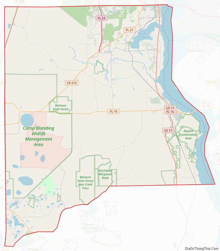
Clay County Road Map
Geography
According to the U.S. Census Bureau, the county has a total area of 644 square miles (1,670 km), of which 604 square miles (1,560 km) are land and 39 square miles (100 km) (6.1%) are covered by water.
Adjacent counties
- Alachua County, Florida – southwest
- Duval County, Florida – north
- St. Johns County, Florida – east
- Putnam County, Florida – south
- Bradford County, Florida – west
- Baker County, Florida – northwest
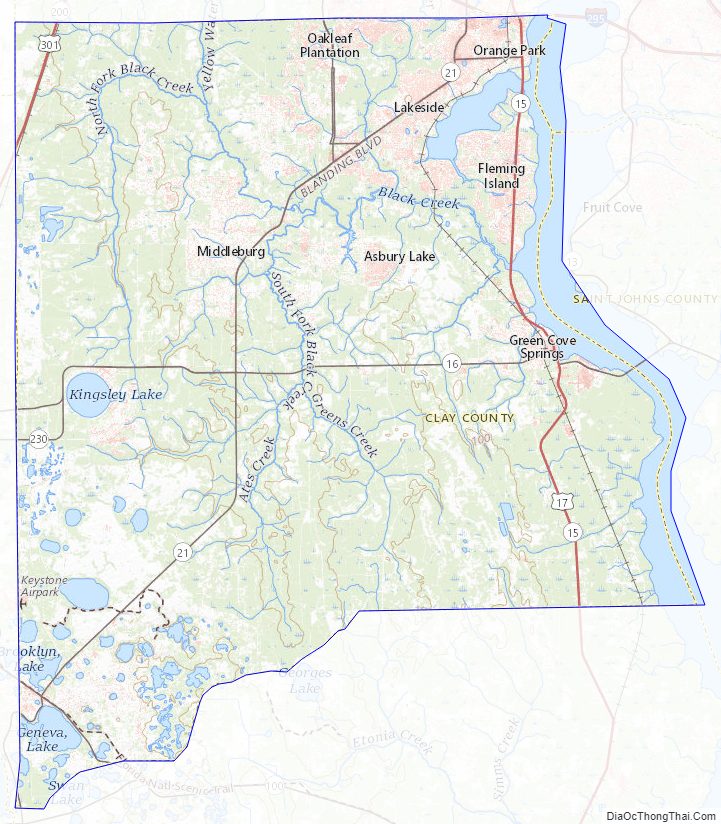
Clay County Topographic Map
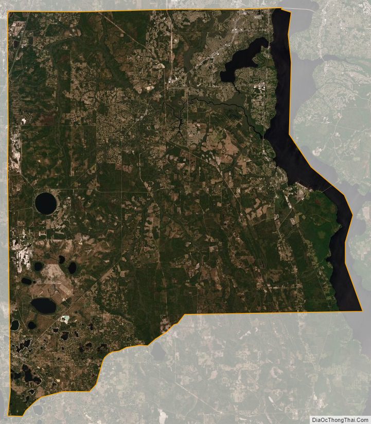
Clay County Satellite Map
Clay County Outline Map