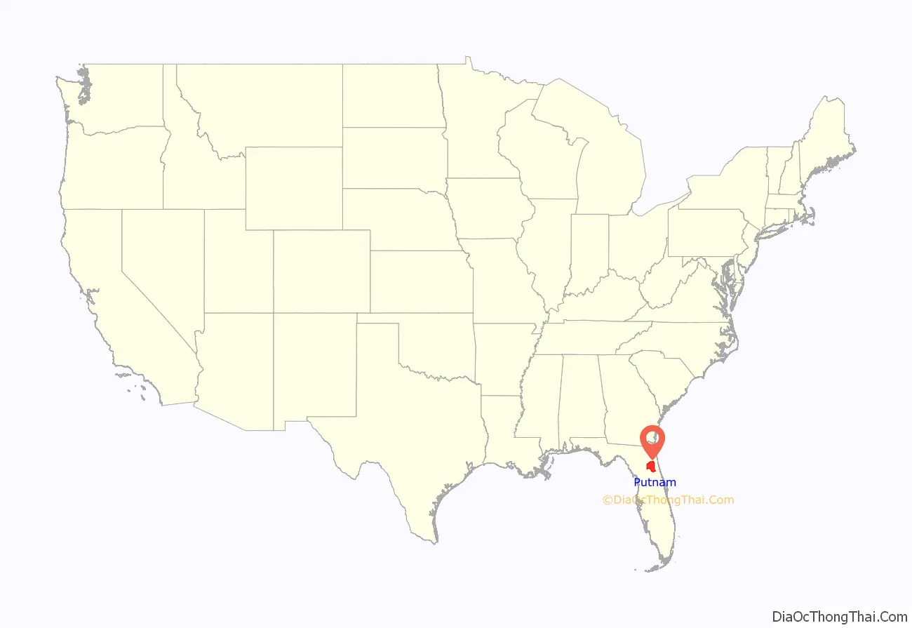
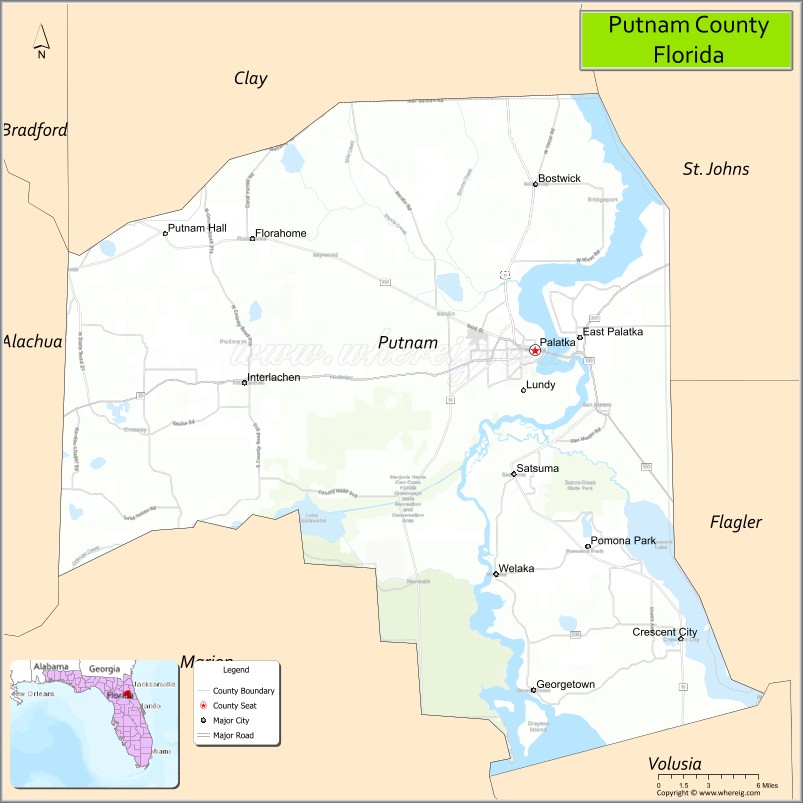
Putnam County is a county located in the northern part of the state of Florida. As of the 2020 census, the population was 73,321. Its county seat is Palatka.
Putnam County comprises the Palatka, FL Micropolitan Statistical Area, which is included in the Jacksonville–St. Marys-Palatka, FL-GA Combined Statistical Area. The county is centrally located between Jacksonville, Gainesville, St. Augustine, and Daytona Beach.
| Name: | Putnam County |
|---|---|
| FIPS code: | 12-107 |
| State: | Florida |
| Founded: | January 18, 1849 |
| Named for: | Benjamin A. Putnam |
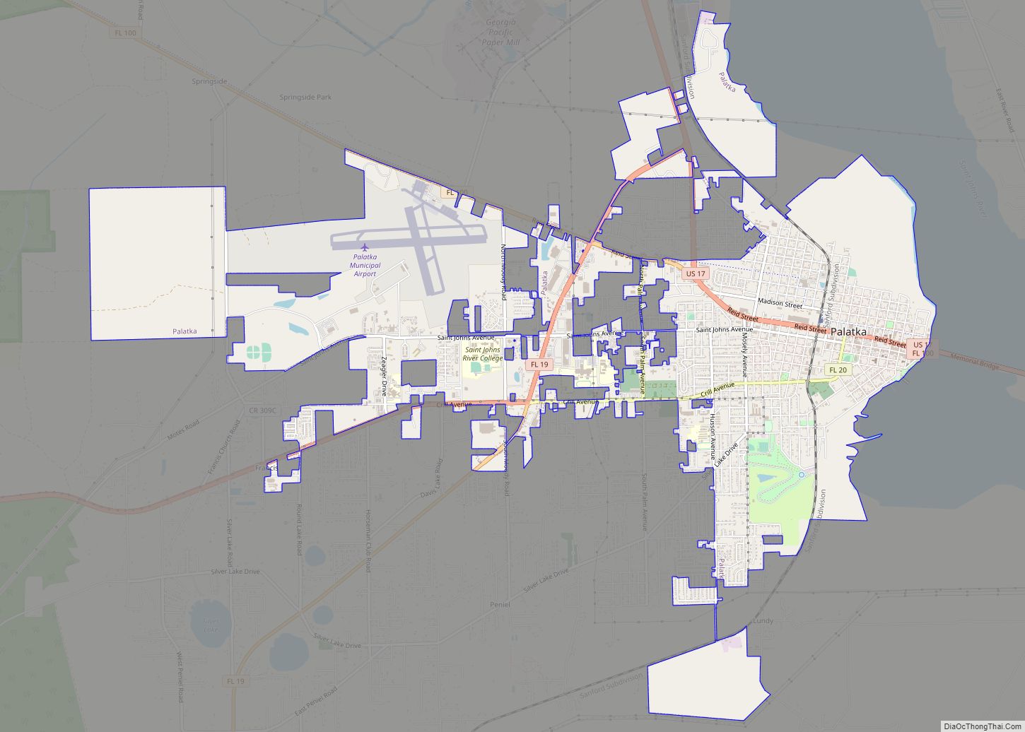
| Seat: | Palatka |
| Largest city: | Palatka |
| Total Area: | 827 sq mi (2,140 km²) |
| Land Area: | 728 sq mi (1,890 km²) |
| Total Population: | 73,321 |
| Population Density: | 101/sq mi (39/km²) |
| Time zone: | UTC−5 (Eastern) |
| Summer Time Zone (DST): | UTC−4 (EDT) |
| Website: | main.putnam-fl.com |
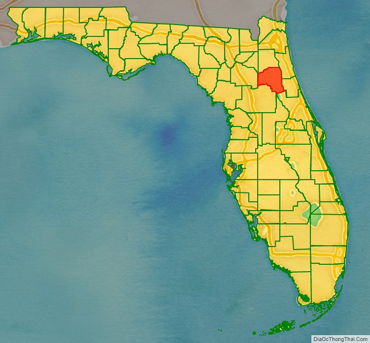
Putnam County location map. Where is Putnam County?
History
Putnam County was created in 1849. It was Florida‘s 28th county created from parts of St. Johns, Alachua, Orange, Duval, and Marion counties. The county was named for Benjamin A. Putnam, who was an officer in the First Seminole War, a lawyer, Florida legislator, and the first president of the Florida Historical Society. The Putnam County Historical Society has determined that Benjamin A. Putnam is the grandson of Israel Putnam, for whom other counties and places in the United States are named. Benjamin A. Putnam died in the county seat of Palatka in 1869.
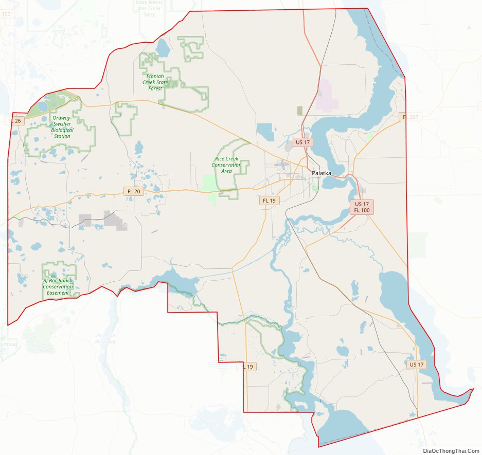
Putnam County Road Map
Geography
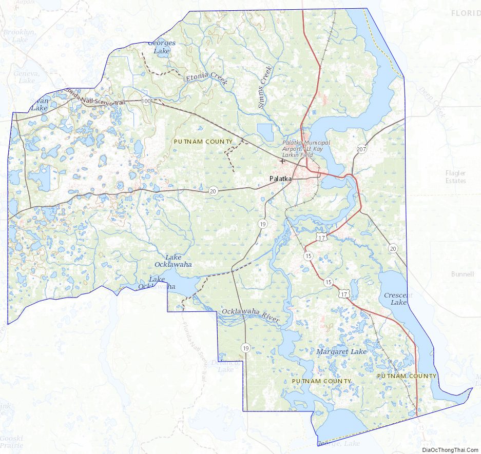
According to the U.S. Census Bureau, the county has a total area of 827 square miles (2,140 km), of which 728 square miles (1,890 km) is land and 99 square miles (260 km) (12.0%) is water.
The county contains various sinkhole lakes such as Lake Barco and Lake Suggs, where unconsolidated deposits on the surface have slumped into the highly soluble limestone of the upper Floridan aquifer.
Adjacent counties
- Clay County, Florida – north
- St. Johns County, Florida – northeast
- Flagler County, Florida – east
- Volusia County, Florida – southeast
- Marion County, Florida – southwest
- Alachua County, Florida – west
- Bradford County, Florida – northwest
National protected area
- Ocala National Forest (part)
State Park
- Ravine Gardens
- Dunns Creek
Putnam County Topographic Map
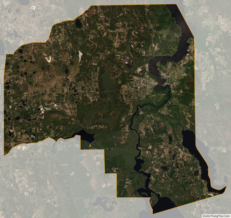
Putnam County Satellite Map
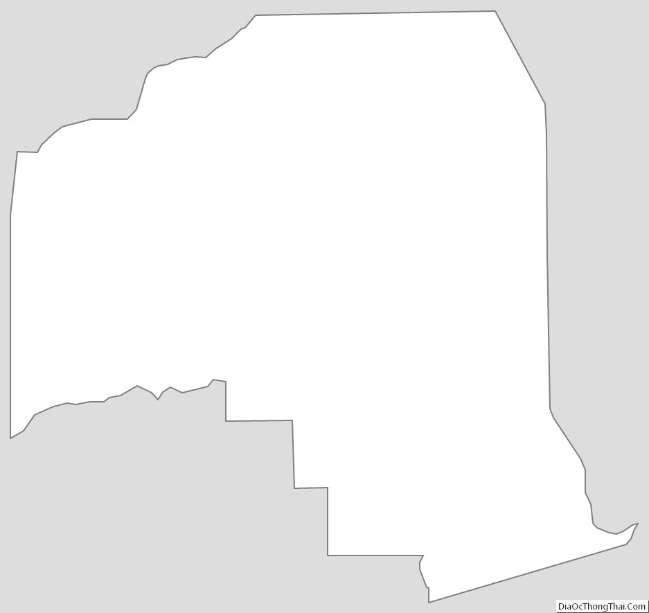
Putnam County Outline Map