Flagler County is a county located in the northeastern portion of the U.S. state of Florida. As of the 2020 census, the population was 115,378. Its county seat is Bunnell, and the largest city is Palm Coast. Created in 1917 from portions of Saint Johns and Volusia Counties, it was named for Henry Flagler, who built the Florida East Coast Railway.
Flagler County is included in the Deltona–Daytona Beach–Ormond Beach, FL metropolitan statistical area, and is also included in the Orlando-Deltona-Daytona Beach, FL Combined Statistical Area.
| Name: | Flagler County |
|---|---|
| FIPS code: | 12-035 |
| State: | Florida |
| Founded: | April 28, 1917 |
| Named for: | Henry Flagler |
| Seat: | Bunnell |
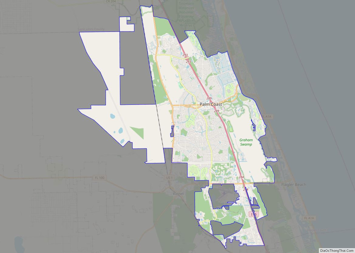
| Largest city: | Palm Coast |
| Total Area: | 571 sq mi (1,480 km²) |
| Land Area: | 485 sq mi (1,260 km²) |
| Total Population: | 115,378 |
| Population Density: | 238/sq mi (92/km²) |
| Time zone: | UTC−5 (Eastern) |
| Summer Time Zone (DST): | UTC−4 (EDT) |
| Website: | www.flaglercounty.org |
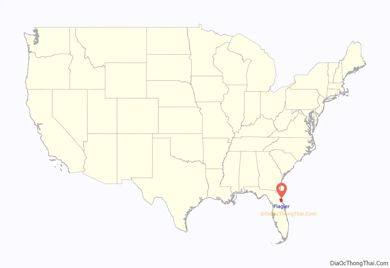
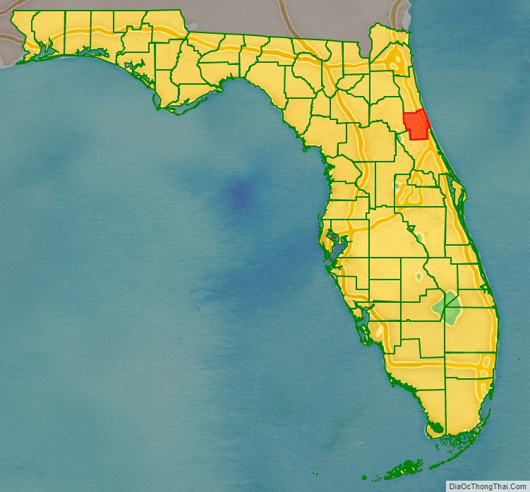
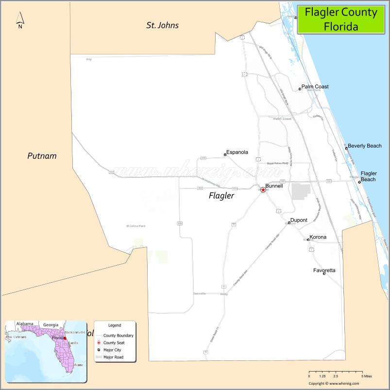
Flagler County location map. Where is Flagler County?
History
In 1974, Marco Polo Park, a theme park off Interstate 95 opened. It was never profitable and closed soon after.
In 1998, when two brush fires threatened to become one huge brush fire in Flagler County, a mandatory evacuation was ordered for the entire county. This was the first and so far the only time a whole county was evacuated in Florida for a wildfire.
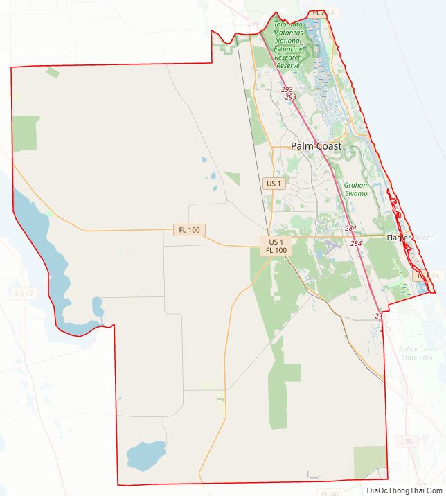
Flagler County Road Map
Geography
According to the U.S. Census Bureau, the county has a total area of 571 square miles (1,480 km), of which 485 square miles (1,260 km) is land and 85 square miles (220 km) (15.0%) is water.
Adjacent counties
- St. Johns County, Florida – north
- Volusia County, Florida – south
- Putnam County, Florida – west
Parks and gardens
- Belle Terre Park
- Betty Steflik Preserve Archived September 26, 2009, at the Wayback Machine
- Bings Landing Archived September 26, 2009, at the Wayback Machine
- Bird of Paradise Nature Reserve
- Bull Creek Campground Archived September 26, 2009, at the Wayback Machine
- Bulow Creek State Park
- Bulow Plantation Ruins Historic State Park
- Central Park in Town Center
- Children’s Memorial Garden
- Gamble Rogers Memorial State Recreation Area
- Graham Swamp Preserve Archived September 26, 2009, at the Wayback Machine
- Haw Creek Preserve / Russell Landing Archived September 26, 2009, at the Wayback Machine
- Heroes Memorial Park
- Herschel King Park Archived September 26, 2009, at the Wayback Machine
- Hidden Trails Park Archived September 26, 2009, at the Wayback Machine
- James F. Holland Memorial Park
- Jungle Hut Park Archived September 26, 2009, at the Wayback Machine
- Lehigh Trail Archived September 26, 2009, at the Wayback Machine
- Longs Landing Estuary
- Malacompra Park Archived September 26, 2009, at the Wayback Machine
- Moody Homestead Park Archived September 26, 2009, at the Wayback Machine
- Old Dixie Park Archived September 26, 2009, at the Wayback Machine
- Old Salt Park Archived September 26, 2009, at the Wayback Machine
- Palm Coast Community Center & Park
- Palm Coast Linear Park
- Princess Place Preserve Archived September 26, 2009, at the Wayback Machine
- Ralph Carter Park
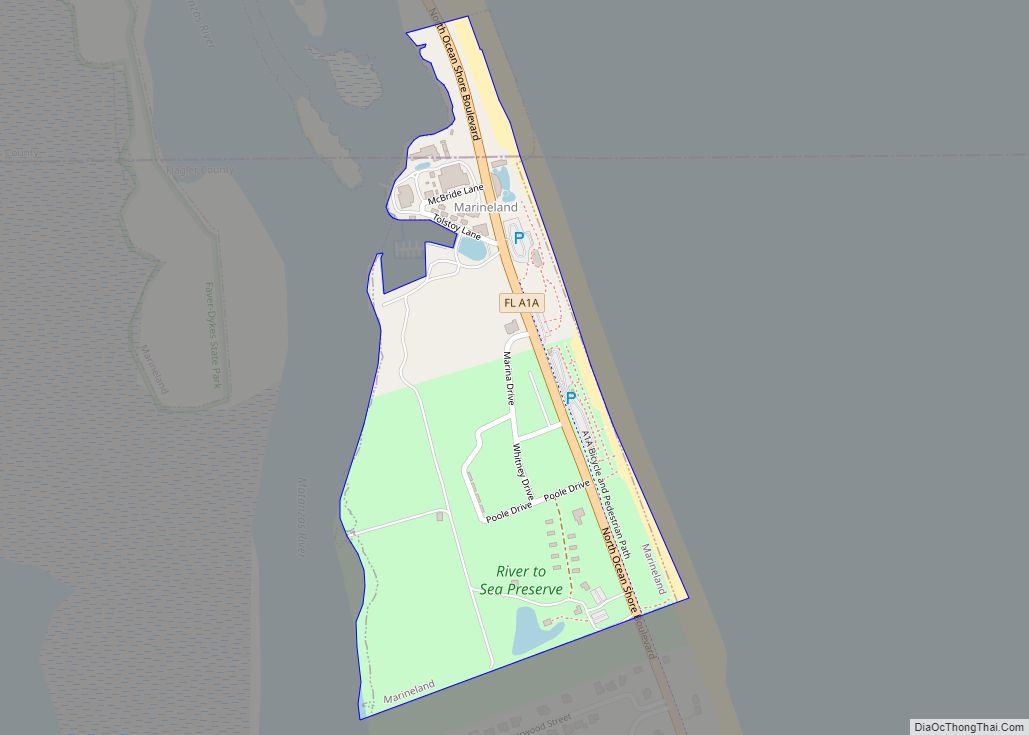
- River to Sea Preserve Archived September 26, 2009, at the Wayback Machine
- Seminole Woods Neighborhood Park
- Shell Bluff Park Archived September 26, 2009, at the Wayback Machine
- Silver Lake Park
- St. Joe Walkway
- Varn Park Archived September 26, 2009, at the Wayback Machine
- Veteran’s Park
- Wadsworth Park Archived September 26, 2009, at the Wayback Machine
- Washington Oaks State Gardens
- Waterfront Park
- Wickline Park
Rivers and waterways
- Atlantic Ocean
- Dead Lake
- Crescent Lake
- Intracoastal Waterway
- Matanzas River
- Pellicer Creek
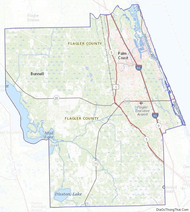
Flagler County Topographic Map
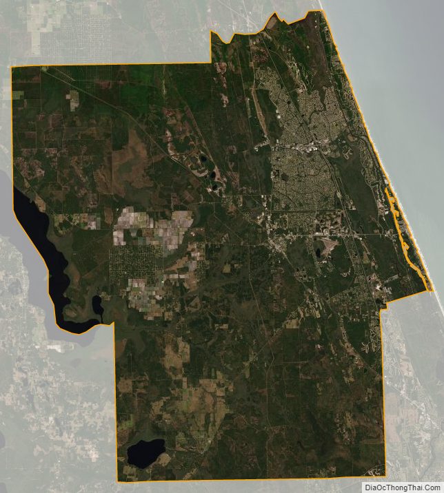
Flagler County Satellite Map
Flagler County Outline Map