Saunders County is a county in the U.S. state of Nebraska. As of the 2010 United States Census, the population was 22,278. Its county seat is Wahoo.
Saunders County is included in the Omaha–Council Bluffs metropolitan area.
In the Nebraska license plate system, Saunders County is represented by the prefix 6 (the county had the sixth-largest number of vehicles registered in the state when the license plate system was established in 1922).
| Name: | Saunders County |
|---|---|
| FIPS code: | 31-155 |
| State: | Nebraska |
| Founded: | 1856 |
| Named for: | Alvin Saunders |
| Seat: | Wahoo |
| Largest city: | Wahoo |
| Total Area: | 760 sq mi (2,000 km²) |
| Land Area: | 750 sq mi (1,900 km²) |
| Total Population: | 22,278 |
| Population Density: | 28.4/sq mi (11.0/km²) |
| Time zone: | UTC−6 (Central) |
| Summer Time Zone (DST): | UTC−5 (CDT) |
| Website: | saunderscounty.ne.gov |
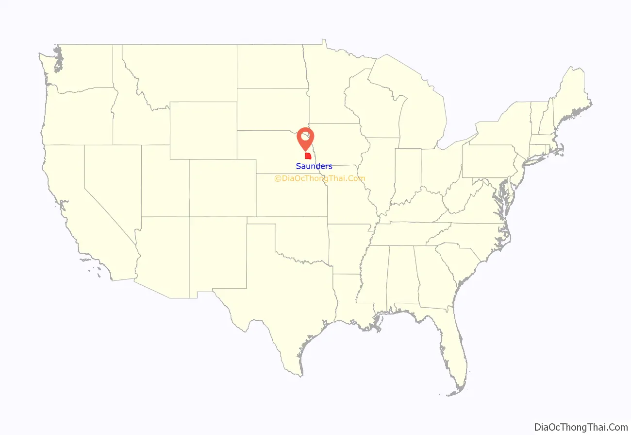
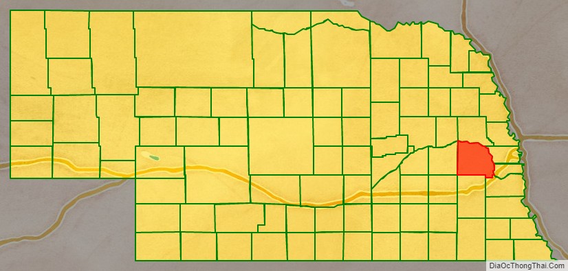
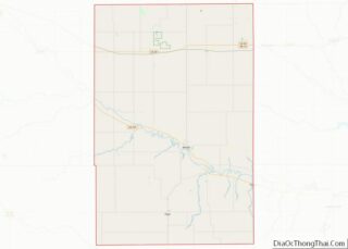
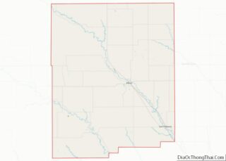
Saunders County location map. Where is Saunders County?
History
Saunders County was established by an 1856 act of the Nebraska Territorial Legislature, and was organized in 1866; its boundaries were redefined in 1858. It was originally named Calhoun County after John Calhoun, surveyor general of Kansas and Nebraska. Other sources contend that it was named for John C. Calhoun of South Carolina. In 1862, during the American Civil War, it was renamed after Nebraska territorial governor Alvin Saunders.
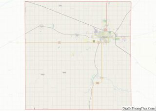
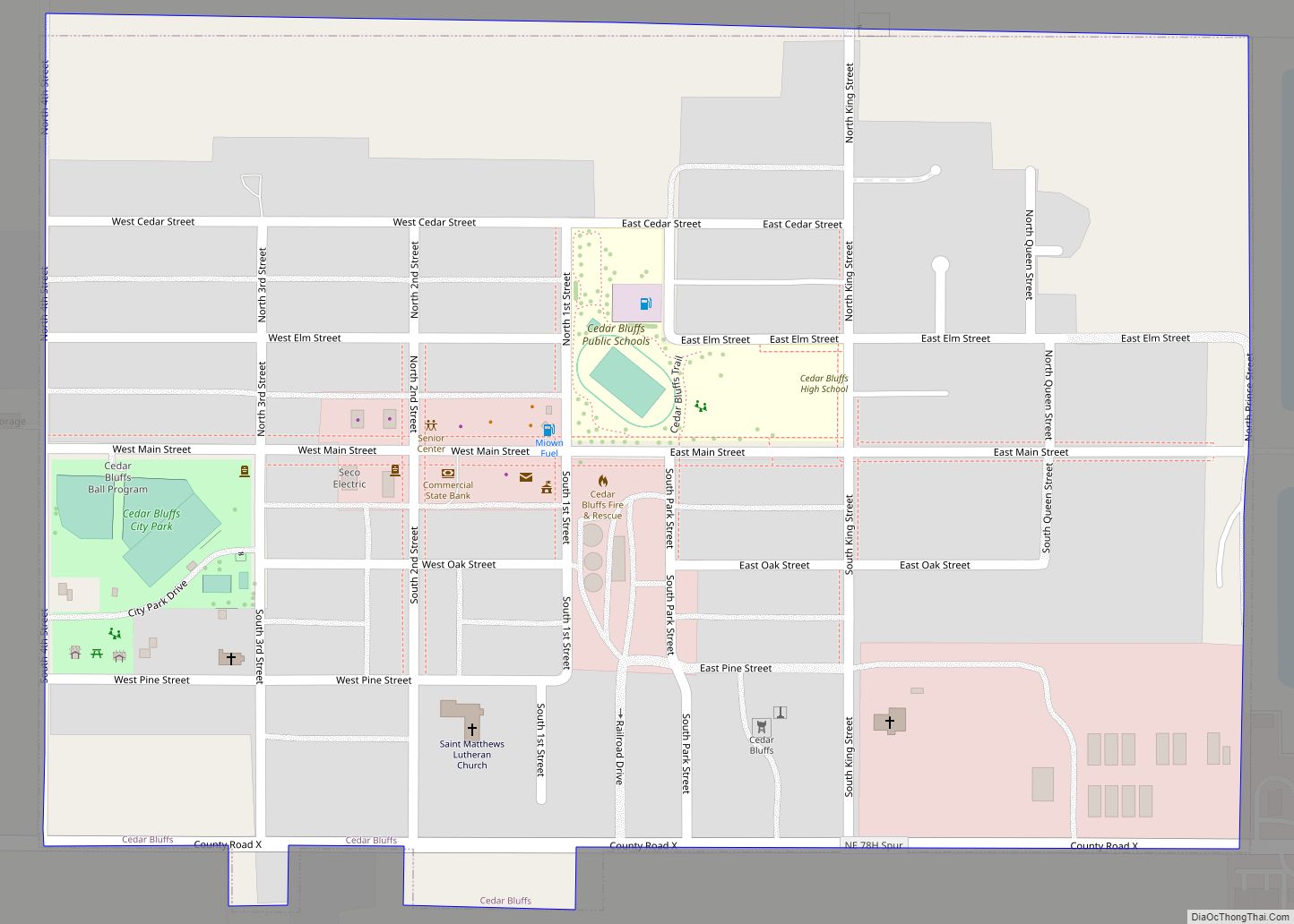
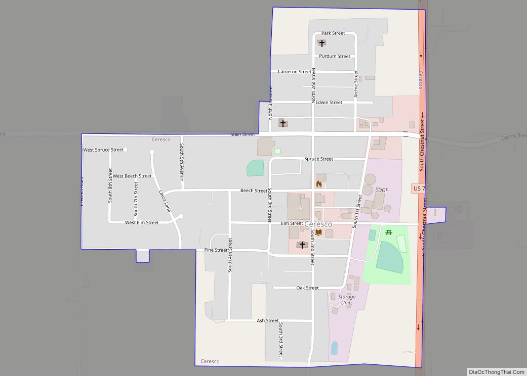
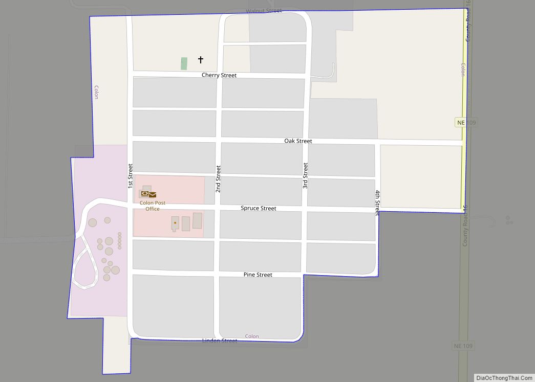
Saunders County Road Map
Geography
Saunders County is bordered on the north and east by the Platte River. Several local drainages move runoff water from the county eastward into the Platte. The county terrain is composed of low rolling hills, which slope eastward and northeastward to the river valley. The county has an area of 760 square miles (2,000 km), of which 750 square miles (1,900 km) is land and 9.6 square miles (25 km) (1.3%) is water.
Major highways
- U.S. Highway 6
- U.S. Highway 77
- Nebraska Highway 64
- Nebraska Highway 66
- Nebraska Highway 79
- Nebraska Highway 92
- Nebraska Highway 109
Adjacent counties
- Douglas County – east
- Sarpy County – east
- Cass County – southeast
- Lancaster County – south
- Butler County – west
- Dodge County – north
Protected areas
- Bramble State Wildlife Management Area
- Czechland Lake Recreation and Wildlife Management Area
- Jack Sinn Memorial State Wildlife Management Area
- Memphis Lake State Recreation Area
- Pioneer State Recreation Area
