Map of Alpine CDP

Map of Alpine CDP, Arizona

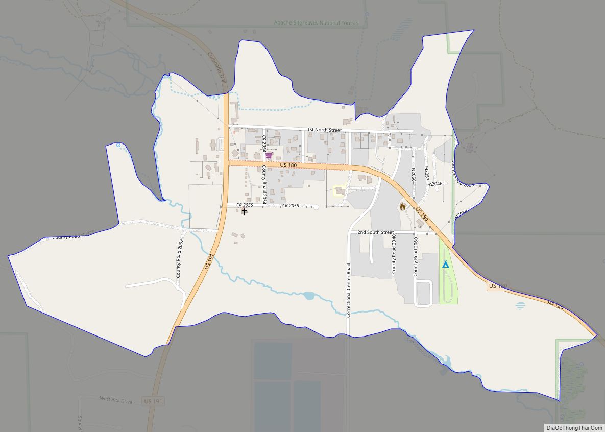
Alpine is a census-designated place in Apache County, Arizona, United States, in Bush Valley in the east central part of the state. As of the 2010 census, it had a population of 145. It is located near the eastern border of the state. Alpine CDP overview: Name: Alpine CDP LSAD Code: 57 LSAD Description: CDP … Read more

Map of Apache Junction city

Map of Apache Junction city

Apache Junction (Western Apache: Hagosgeed) is a city in Pinal and Maricopa counties in the state of Arizona. As of the 2020 census, the population was 38,499, most of whom lived in Pinal County. It is named for the junction of the Apache Trail and Old West Highway. The area where Apache Junction is located … Read more

Map of Anthem CDP

Map of Anthem CDP

Anthem is a master-planned community partially located within Phoenix and partially located within a census-designated place (CDP), New River. The community is entirely located in Maricopa County, Arizona, United States, within the Phoenix Metropolitan Area. As of the 2020 census, the population of the Anthem CDP was 23,190. Anthem CDP overview: Name: Anthem CDP LSAD … Read more

Map of Antares CDP

Map of Antares CDP

Antares is an unincorporated community and census designated place (CDP) in Mohave County, Arizona, United States. As of the 2020 census, it had a population of 132. It exists along part of historic U.S. Route 66. Antares CDP overview: Name: Antares CDP LSAD Code: 57 LSAD Description: CDP (suffix) State: Arizona County: Mohave County Elevation: … Read more

Map of Arizona City CDP

Map of Arizona City CDP

Arizona City is a census-designated place (CDP) in southwestern Pinal County, Arizona, United States. It is located near the junction of Interstate 8 and Interstate 10 at the midpoint between Phoenix and Tucson, approximately 60 miles (97 km) from the downtown of both cities. The population was 10,475 as of the 2010 U.S. Census. It is … Read more

Map of Arivaca CDP

Map of Arivaca CDP

Arivaca (O’odham: Ali Wa:pk) is an unincorporated community in Pima County, Arizona, United States. It is located 11 miles (18 km) north of the Mexican border and 35 miles (56 km) northwest of the port of entry at Nogales. The European-American history of the area dates back at least to 1695, although the community was not founded … Read more

Map of Arivaca Junction CDP

Map of Arivaca Junction CDP

Arivaca Junction is a census-designated place (CDP) in Pima County, Arizona, United States. The population was 1,090 at the 2010 census. As of July 1, 2015, it had an estimated population of 1,065. Arivaca Junction has an estimated elevation of 3,140 feet (960 m) above sea level. Arivaca Junction CDP overview: Name: Arivaca Junction CDP LSAD … Read more

Map of Ash Fork CDP

Map of Ash Fork CDP

Ash Fork is a census-designated place in Yavapai County, Arizona, United States. Its population was 396 at the 2010 U.S. Census, down from 457 in 2000. Ash Fork CDP overview: Name: Ash Fork CDP LSAD Code: 57 LSAD Description: CDP (suffix) State: Arizona County: Yavapai County Elevation: 5,181 ft (1,579 m) Total Area: 2.31 sq mi (5.98 km²) Land Area: … Read more

Map of Arlington city

Map of Arlington CDP, Arizona

Arlington is an unincorporated community and census-designated place (CDP) in Maricopa County, Arizona, United States, located 43 miles (69 km) west of downtown Phoenix on old U.S 80. It follows the street numbering system of Phoenix. As of the 2020 census, the population was 150, down from 194 at the 2010 census. Arlington CDP overview: Name: … Read more

Map of Arizona Village CDP

Map of Arizona Village CDP

Arizona Village is a census-designated place (CDP) on the Fort Mojave Indian Reservation in Mohave County, Arizona, United States. The population was 1,057 at the 2020 census, up from 946 in 2010 and 351 in 2000. Arizona Village CDP overview: Name: Arizona Village CDP LSAD Code: 57 LSAD Description: CDP (suffix) State: Arizona County: Mohave … Read more

Map of Avra Valley CDP

Map of Avra Valley CDP

Avra Valley (O’odham: Ko:jĭ Pi Bak) is a census-designated place (CDP) in Pima County, Arizona, United States. The population was 6,050 at the 2010 census, up from 5,038 in 2000. Avra Valley CDP overview: Name: Avra Valley CDP LSAD Code: 57 LSAD Description: CDP (suffix) State: Arizona County: Pima County Elevation: 1,919 ft (585 m) Total Area: … Read more

Map of Avondale city

Map of Avondale city, Arizona

Avondale is a city in Maricopa County, Arizona, United States, adjacent to Phoenix. As of the 2020 census, the population of the city was 89,334, up from 76,238 in 2010 and 35,883 in 2000. Avondale, incorporated in 1946, has experienced rapid residential and commercial growth in the years since 1980. Once primarily a sparsely populated … Read more