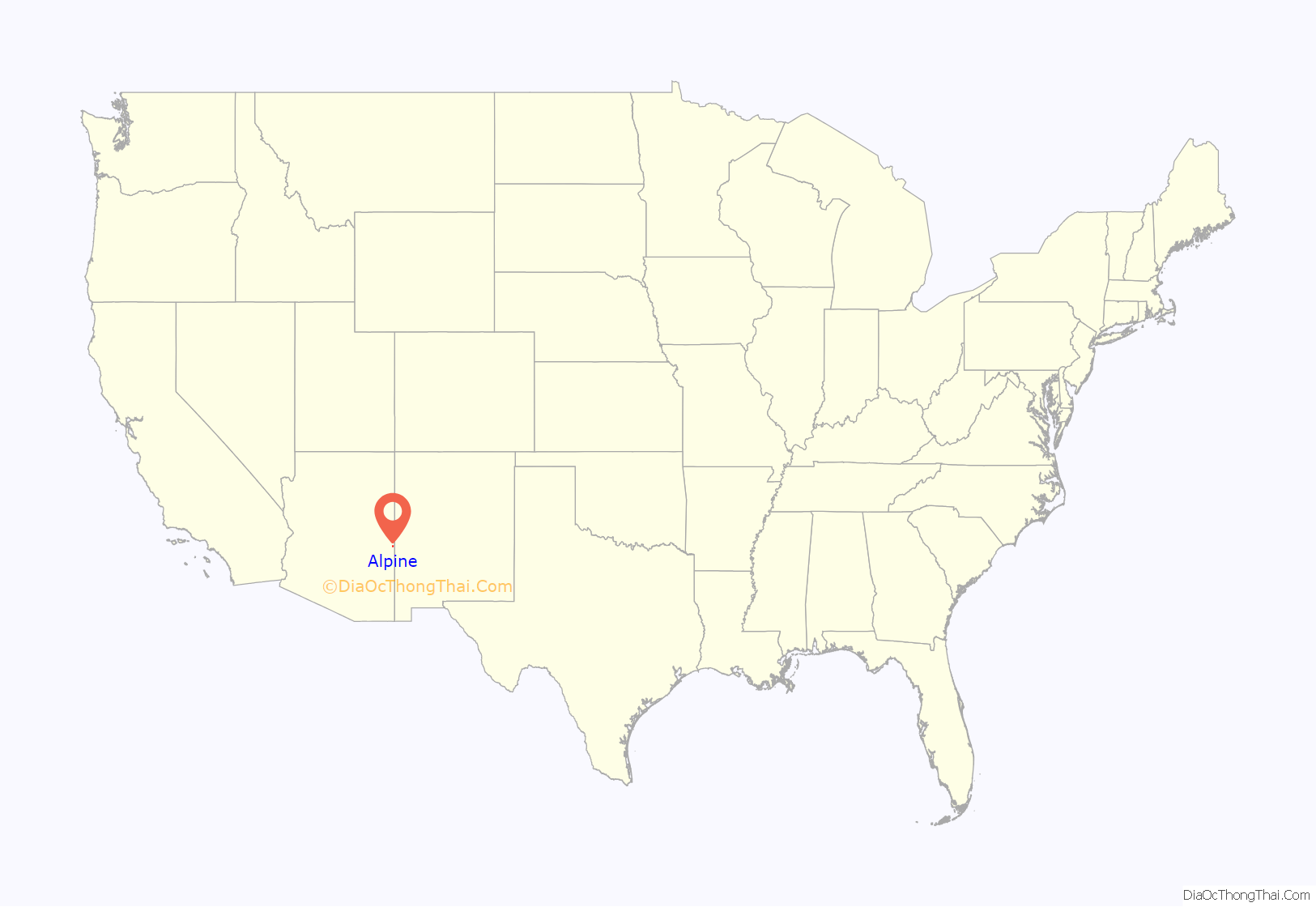
Alpine is a census-designated place in Apache County, Arizona, United States, in Bush Valley in the east central part of the state. As of the 2010 census, it had a population of 145. It is located near the eastern border of the state.
| Name: | Alpine CDP |
|---|---|
| LSAD Code: | 57 |
| LSAD Description: | CDP (suffix) |
| State: | Arizona |
| County: | Apache County |
| Elevation: | 8,012 ft (2,442 m) |
| Total Area: | 0.56 sq mi (1.46 km²) |
| Land Area: | 0.56 sq mi (1.46 km²) |
| Water Area: | 0.00 sq mi (0.00 km²) |
| Total Population: | 146 |
| Population Density: | 258.41/sq mi (99.72/km²) |
| ZIP code: | 85920 |
| Area code: | 928 |
| FIPS code: | 0401920 |
Online Interactive Map
Click on ![]() to view map in "full screen" mode.
to view map in "full screen" mode.
Alpine location map. Where is Alpine CDP?
History
Located approximately 75 miles south of the Navajo Nation, Alpine was settled in 1876 by Anderson Bush, a European-American who built a log house there. He originally used it as a trading post known as “Fort Bush”. Bush sold his holdings in 1879 to William Maxwell and Fred Hamblin, Mormon settlers who established the town as a Mormon community. They named the community for its lofty elevation.
The Alpine post office has the ZIP code of 85920.
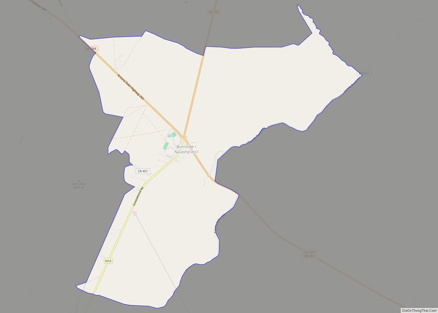
Alpine Road Map
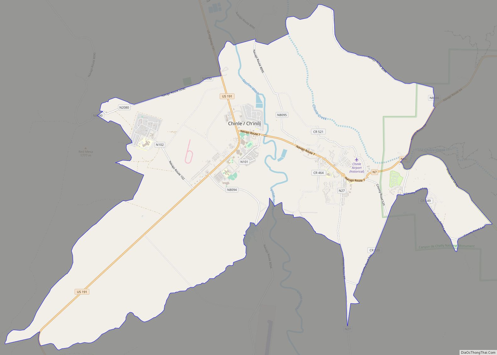
Alpine city Satellite Map
Geography
Alpine is located at an elevation of 8,050 feet (2,450 m) above sea level in the eastern end of the White Mountains and surrounded by the Apache-Sitgreaves National Forest. Alpine is near the headwaters of the San Francisco River and six miles from the New Mexico border. Alpine is a popular destination for hunting, fishing, and camping. As of 1960, it was the highest place in the United States where farming was successfully conducted.
See also
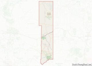
Map of Arizona State and its subdivision: Map of other states:- Alabama
- Alaska
- Arizona
- Arkansas
- California
- Colorado
- Connecticut
- Delaware
- District of Columbia
- Florida
- Georgia
- Hawaii
- Idaho
- Illinois
- Indiana
- Iowa
- Kansas
- Kentucky
- Louisiana
- Maine
- Maryland
- Massachusetts
- Michigan
- Minnesota
- Mississippi
- Missouri
- Montana
- Nebraska
- Nevada
- New Hampshire
- New Jersey
- New Mexico
- New York
- North Carolina
- North Dakota
- Ohio
- Oklahoma
- Oregon
- Pennsylvania
- Rhode Island
- South Carolina
- South Dakota
- Tennessee
- Texas
- Utah
- Vermont
- Virginia
- Washington
- West Virginia
- Wisconsin
- Wyoming
