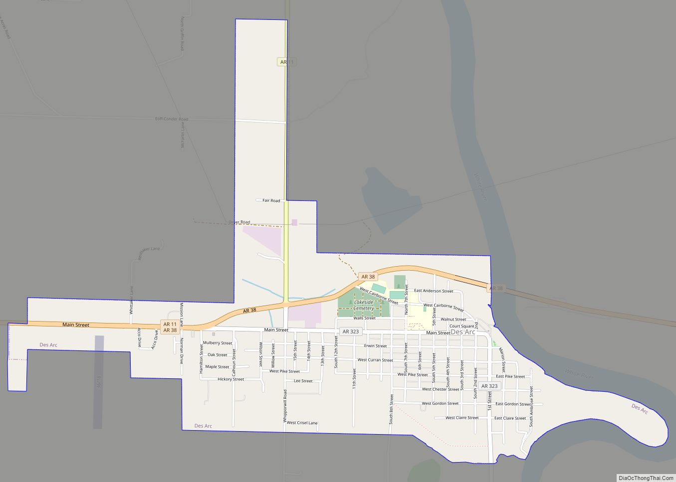
Map of Dermott city

Map of Dermott city

Dermott is a city in Chicot County, Arkansas, United States. The population was 2,316 at the 2010 census. Dermott was incorporated in 1890. Dermott was home to the Dermott Crawfish Festival. Dermott city overview: Name: Dermott city LSAD Code: 25 LSAD Description: city (suffix) State: Arkansas County: Chicot County Elevation: 141 ft (43 m) Total Area: 3.49 sq mi … Read more

Map of Denning town

Map of Denning town

Denning is a town in Franklin County, Arkansas, United States. It is part of the Fort Smith, Arkansas–Oklahoma Metropolitan Statistical Area. The population was 314 at the 2010 census, up from 270 at the 2000 census. Denning town overview: Name: Denning town LSAD Code: 43 LSAD Description: town (suffix) State: Arkansas County: Franklin County Elevation: … Read more

Map of Diaz city

Map of Diaz city

Diaz is a city in Jackson County, Arkansas, United States. The population was 1,318 at the 2010 census. Diaz city overview: Name: Diaz city LSAD Code: 25 LSAD Description: city (suffix) State: Arkansas County: Jackson County Elevation: 233 ft (71 m) Total Area: 5.94 sq mi (15.39 km²) Land Area: 5.92 sq mi (15.33 km²) Water Area: 0.03 sq mi (0.06 km²) Total Population: 1,224 Population … Read more

Map of Diamond City city

Map of Diamond City

Diamond City is a city in northeast Boone County, Arkansas, United States. The population was 782 at the 2010 census. It is part of the Harrison Micropolitan Statistical Area. Diamond City overview: Name: Diamond City LSAD Code: 25 LSAD Description: city (suffix) State: Arkansas County: Boone County Elevation: 804 ft (245 m) Total Area: 2.82 sq mi (7.30 km²) Land … Read more

Map of DeWitt city

Map of DeWitt city, Arkansas

DeWitt is the second largest city in Arkansas County, Arkansas, United States, which also serves as the county seat of the southern district of Arkansas County. Population was 3,292 at the time of the 2010 census. The city is located on the Arkansas Grand Prairie, known for rice farming and duck hunting. DeWitt is home … Read more

Map of Dover city

Map of Dover city, Arkansas

Dover is a small town in Pope County, Arkansas, United States. The population was 1,378 at the 2010 census. Dover is located in the Arkansas River Valley, and is part of the Russellville Micropolitan Statistical Area. Seven miles north of the county seat, Russellville, it has several churches, a grocery store, emergency services—a volunteer fire … Read more

Map of Donaldson town

Map of Donaldson town, Arkansas

Donaldson is a town in Hot Spring County, Arkansas, United States. The population was 301 at the 2010 census. Donaldson town overview: Name: Donaldson town LSAD Code: 43 LSAD Description: town (suffix) State: Arkansas County: Hot Spring County Elevation: 230 ft (70 m) Total Area: 0.59 sq mi (1.53 km²) Land Area: 0.59 sq mi (1.53 km²) Water Area: 0.00 sq mi (0.00 km²) Total Population: … Read more

Map of Dierks city

Map of Dierks city

Dierks is a city in Howard County, Arkansas, United States. The population was 916 as of the 2020 census, down from 1,133 in 2010. Dierks city overview: Name: Dierks city LSAD Code: 25 LSAD Description: city (suffix) State: Arkansas County: Howard County Elevation: 443 ft (135 m) Total Area: 1.92 sq mi (4.97 km²) Land Area: 1.92 sq mi (4.97 km²) Water Area: … Read more

Map of Dyess town

Map of Dyess town

Dyess is a town in Mississippi County, Arkansas, United States. The town was founded as Dyess Colony in 1934 as part of the Roosevelt administration’s agricultural relief and rehabilitation program and was the largest agrarian community established by the federal government during the Great Depression. It was the boyhood home of country singer Johnny Cash. … Read more

Map of Dyer city

Map of Dyer city, Arkansas

Dyer is a city in Crawford County, Arkansas, United States. It is part of the Fort Smith, Arkansas–Oklahoma Metropolitan Statistical Area. The population was 876 at the 2010 census. Dyer city overview: Name: Dyer city LSAD Code: 25 LSAD Description: city (suffix) State: Arkansas County: Crawford County Elevation: 430 ft (130 m) Total Area: 2.94 sq mi (7.62 km²) Land … Read more

Map of Dumas city

Map of Dumas city, Arkansas

Dumas is a city in Desha County, Arkansas, United States. The population was 4,706 at the 2010 census. Dumas city overview: Name: Dumas city LSAD Code: 25 LSAD Description: city (suffix) State: Arkansas County: Desha County Elevation: 164 ft (50 m) Total Area: 2.91 sq mi (7.53 km²) Land Area: 2.91 sq mi (7.53 km²) Water Area: 0.00 sq mi (0.00 km²) Total Population: 4,001 Population … Read more

Map of East End CDP

Map of East End CDP

East End is a census-designated place (CDP) in Saline County, Arkansas, United States. The population was 6,998 at the 2010 census. It is part of the Little Rock–North Little Rock–Conway Metropolitan Statistical Area. East End CDP overview: Name: East End CDP LSAD Code: 57 LSAD Description: CDP (suffix) State: Arkansas County: Saline County Elevation: 351 ft … Read more