Des Arc /ˈdɛz.ɑːrk/ DEZ-ark is a city on the White River in the Arkansas Delta, United States. It is the largest city in Prairie County, Arkansas, and the county seat for the county’s northern district. Incorporated in 1854, Des Arc’s position on the river has shaped its culture, history, and economy, beginning as a major lumber shipping port but leaving the city vulnerable to major floods in 1927 and 1937. As river shipping declined, Des Arc was bypassed by railroads, Interstate highways, and much of the post-industrial society. Des Arc’s history is preserved by seven listings on the National Register of Historic Places, and the region’s history is interpreted at Lower White River Museum State Park. The city’s population stopped growing in the 1980s and has been declining since, with a population of 1,717 at the 2010 Census.
| Name: | Des Arc city |
|---|---|
| LSAD Code: | 25 |
| LSAD Description: | city (suffix) |
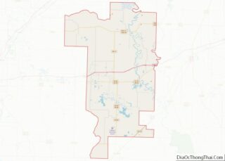
| State: | Arkansas |
| County: | Prairie County |
| Incorporated: | 1854 |
| Elevation: | 200 ft (61 m) |
| Total Area: | 2.11 sq mi (5.46 km²) |
| Land Area: | 2.10 sq mi (5.45 km²) |
| Water Area: | 0.01 sq mi (0.02 km²) |
| Total Population: | 1,905 |
| Population Density: | 906.28/sq mi (349.83/km²) |
| ZIP code: | 72040 |
| Area code: | 870 |
| FIPS code: | 0518550 |
| GNISfeature ID: | 0076785 |
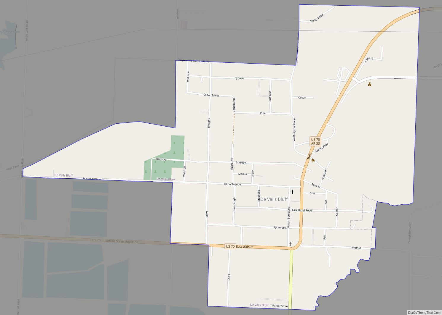
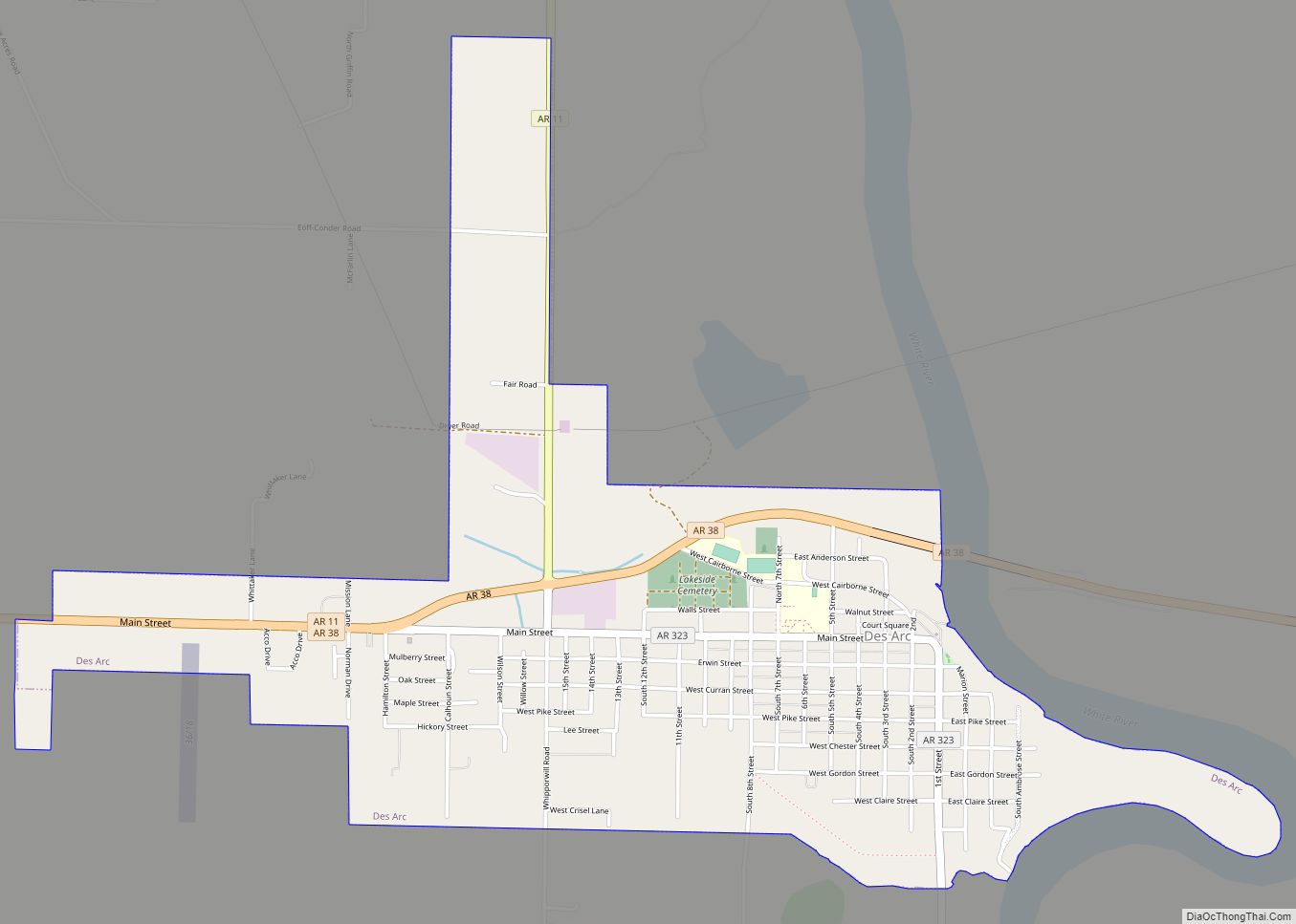
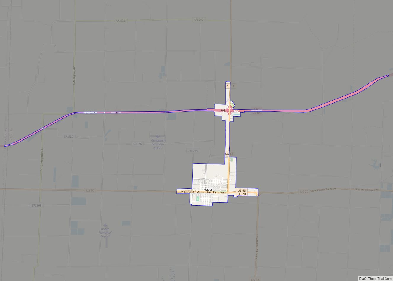
Online Interactive Map
Click on ![]() to view map in "full screen" mode.
to view map in "full screen" mode.
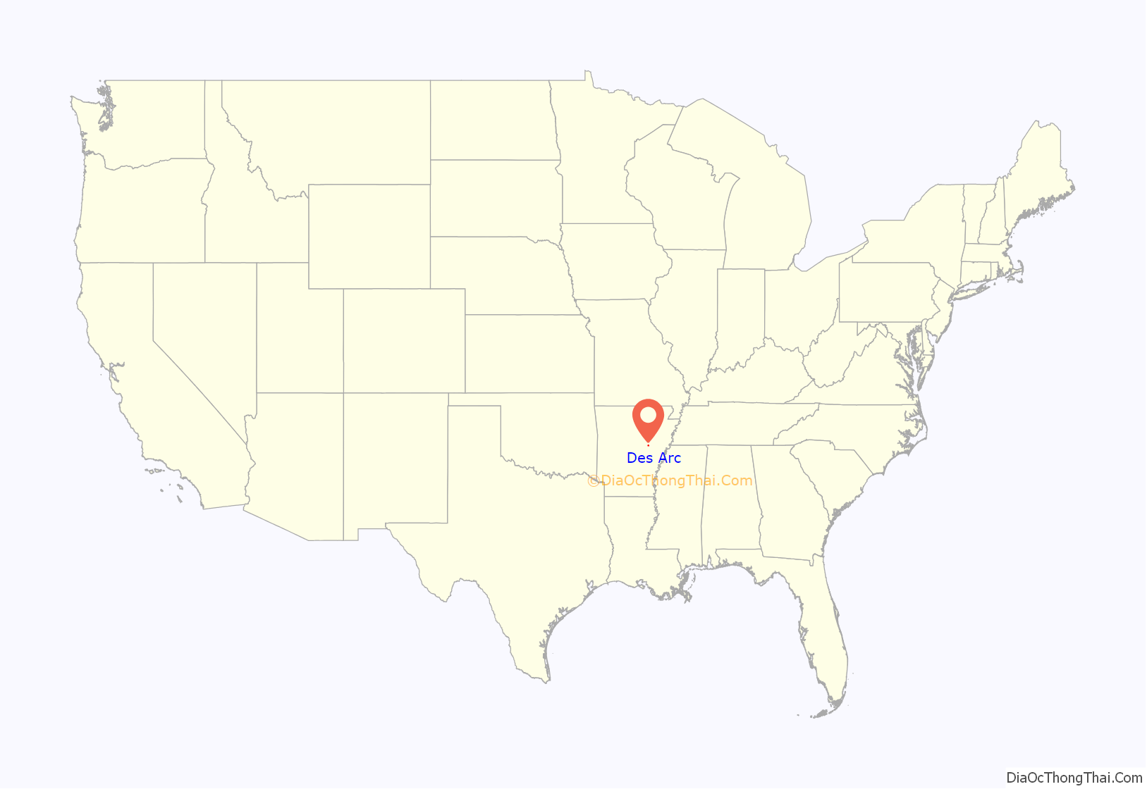
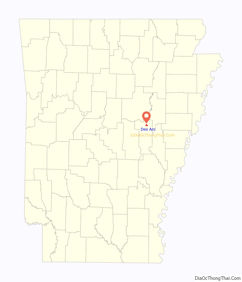
Des Arc location map. Where is Des Arc city?
History
White settlement in the area began in the Lower White River Valley while the area was within French Louisiana, which lasted from 1686-1763. French from Canada and South Louisiana passed through the area while hunting and trapping bears and other animals. They shipped furs and bear oil downriver to Arkansas Post, which was the only established settlement in the region, then likely onto New Orleans. During this period, several places were named by the French, including Des Arc and other places in Prairie County such as La Grue.
Des Arc was founded in 1854. A map shows the original town included 80 residential blocks, and two blocks for a commercial district. The gridded street pattern has never been fully developed, though most of the streets and blocks match the 1854 plan. The gridded east-west street pattern began with a street named McNulty Street in the north, near where present-day Highway 38 is located along the northern edge of the city. The southernmost east-west street was Barrier Street. The town ran from Foster Street (present-day First Street) on the eastern side, to present-day Eighth Street.
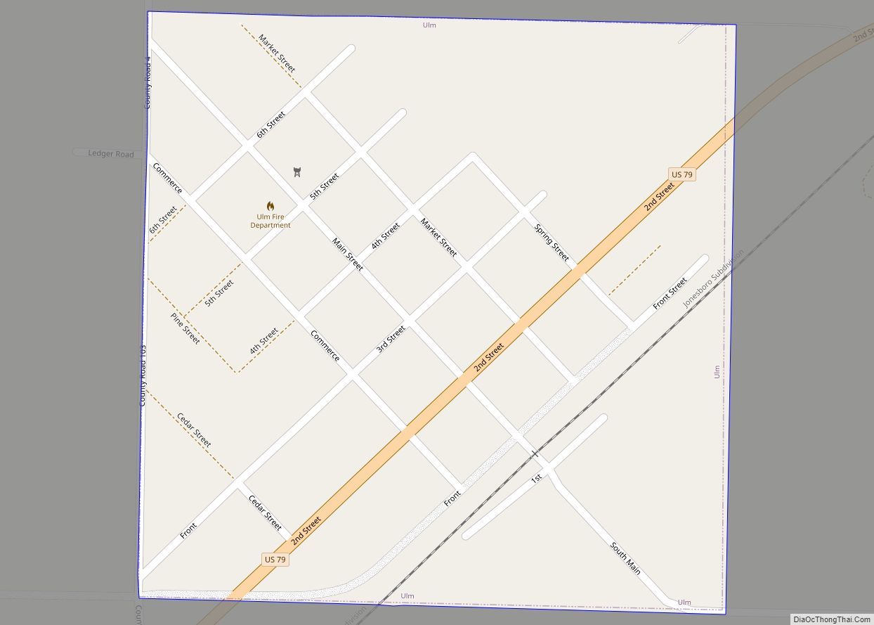
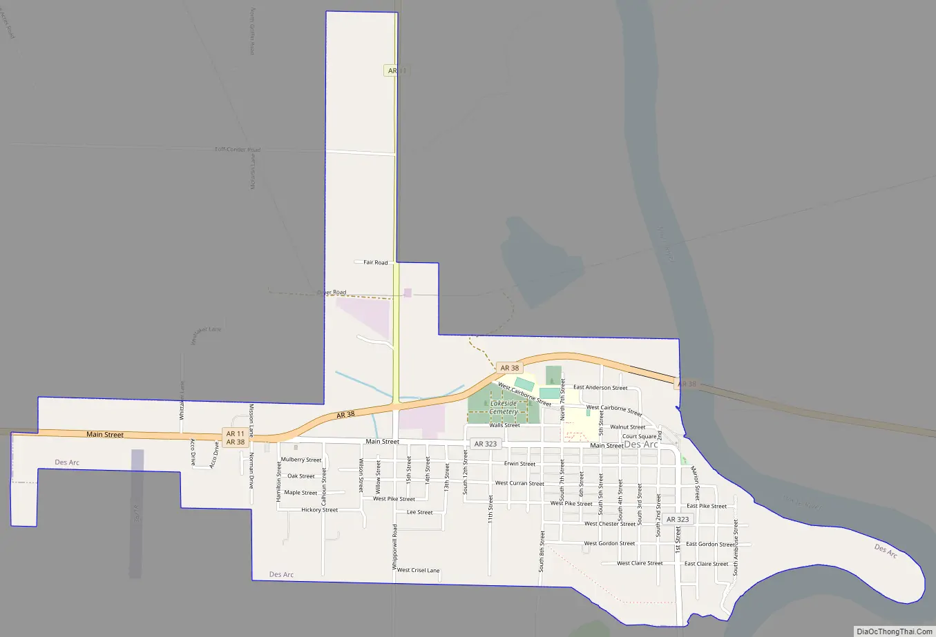
Des Arc Road Map
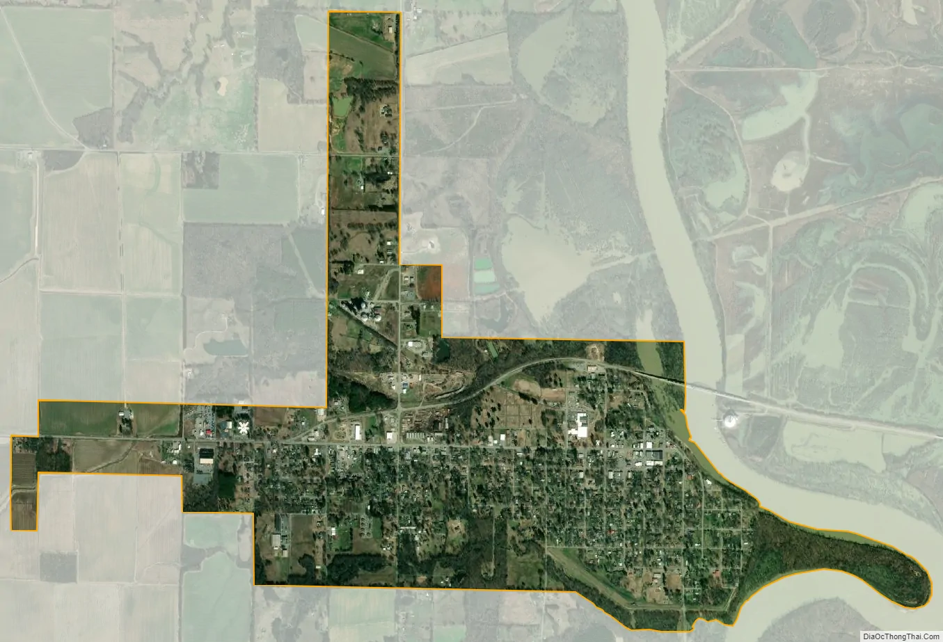
Des Arc city Satellite Map
Geography
Des Arc is located in the Lower White River segment of the Arkansas Delta (in Arkansas, usually referred to as “the Delta”). The Arkansas Delta is a subregion of the Mississippi Alluvial Plain, which is a flat area consisting of rich, fertile sediment deposits from the Mississippi River between Louisiana and Illinois. The White River Lowlands contain swamps and forests, in contrast to southern portions of Prairie County within the Grand Prairie, a subdivision of the Arkansas Delta known today for rice farming and aquaculture.
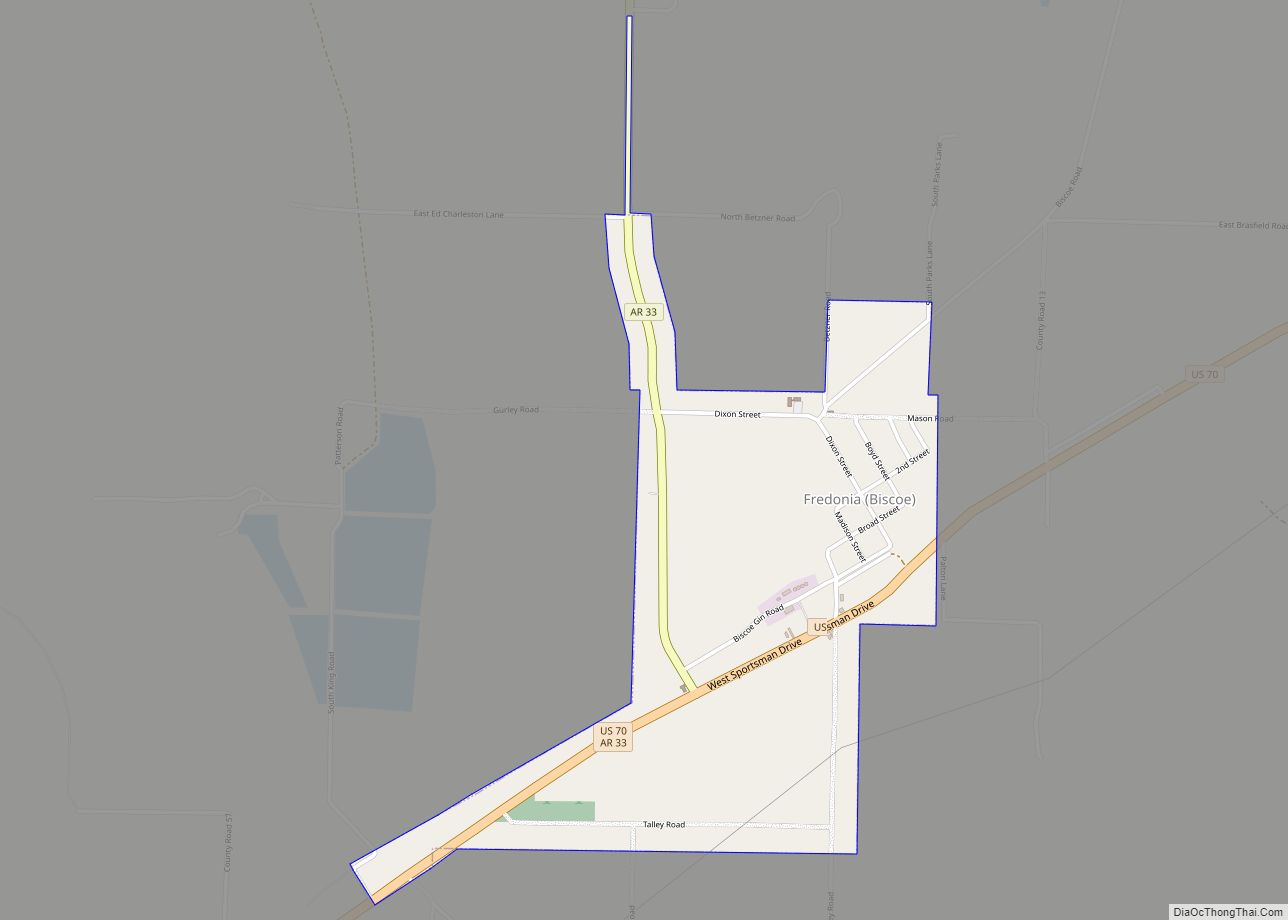
According to the United States Census Bureau, the city has a total area of 2.0 square miles (5.2 km), of which 2.0 square miles (5.2 km) is land and 0.49% is water. Des Arc is located approximately 60 miles (97 km) east of Little Rock and 95 miles (153 km) west of Memphis, Tennessee. Within Prairie County, Des Arc is the northernmost city, located 10–15 miles (16–24 km) north of Hazen, DeValls Bluff, and Fredonia (Biscoe).
Climate
Prairie County has a humid subtropical climate (Köppen Cfa). Prairie County experiences all four seasons, although summers can be extremely hot and humid and winters are mild with little snow. July is the hottest month of the year, with an average high of 92 °F (33.3 °C) and an average low of 73 °F (22.8 °C). Temperatures above 100 °F (38 °C) are not uncommon. January is the coldest month with an average high of 48 °F (8.9 °C) and an average low of 31 °F (−0.6 °C). The highest temperature was 109 °F (42.8 °C), and the lowest temperature recorded was −5 °F (−21 °C). Record snowfall in Des Arc occurred January 7, 1912, with 18 inches (46 cm).
See also
Map of Arkansas State and its subdivision:- Arkansas
- Ashley
- Baxter
- Benton
- Boone
- Bradley
- Calhoun
- Carroll
- Chicot
- Clark
- Clay
- Cleburne
- Cleveland
- Columbia
- Conway
- Craighead
- Crawford
- Crittenden
- Cross
- Dallas
- Desha
- Drew
- Faulkner
- Franklin
- Fulton
- Garland
- Grant
- Greene
- Hempstead
- Hot Spring
- Howard
- Independence
- Izard
- Jackson
- Jefferson
- Johnson
- Lafayette
- Lawrence
- Lee
- Lincoln
- Little River
- Logan
- Lonoke
- Madison
- Marion
- Miller
- Mississippi
- Monroe
- Montgomery
- Nevada
- Newton
- Ouachita
- Perry
- Phillips
- Pike
- Poinsett
- Polk
- Pope
- Prairie
- Pulaski
- Randolph
- Saint Francis
- Saline
- Scott
- Searcy
- Sebastian
- Sevier
- Sharp
- Stone
- Union
- Van Buren
- Washington
- White
- Woodruff
- Yell
- Alabama
- Alaska
- Arizona
- Arkansas
- California
- Colorado
- Connecticut
- Delaware
- District of Columbia
- Florida
- Georgia
- Hawaii
- Idaho
- Illinois
- Indiana
- Iowa
- Kansas
- Kentucky
- Louisiana
- Maine
- Maryland
- Massachusetts
- Michigan
- Minnesota
- Mississippi
- Missouri
- Montana
- Nebraska
- Nevada
- New Hampshire
- New Jersey
- New Mexico
- New York
- North Carolina
- North Dakota
- Ohio
- Oklahoma
- Oregon
- Pennsylvania
- Rhode Island
- South Carolina
- South Dakota
- Tennessee
- Texas
- Utah
- Vermont
- Virginia
- Washington
- West Virginia
- Wisconsin
- Wyoming