DeWitt is the second largest city in Arkansas County, Arkansas, United States, which also serves as the county seat of the southern district of Arkansas County. Population was 3,292 at the time of the 2010 census. The city is located on the Arkansas Grand Prairie, known for rice farming and duck hunting. DeWitt is home to the DeWitt School District and the DeWitt Municipal Airport.
| Name: | DeWitt city |
|---|---|
| LSAD Code: | 25 |
| LSAD Description: | city (suffix) |
| State: | Arkansas |
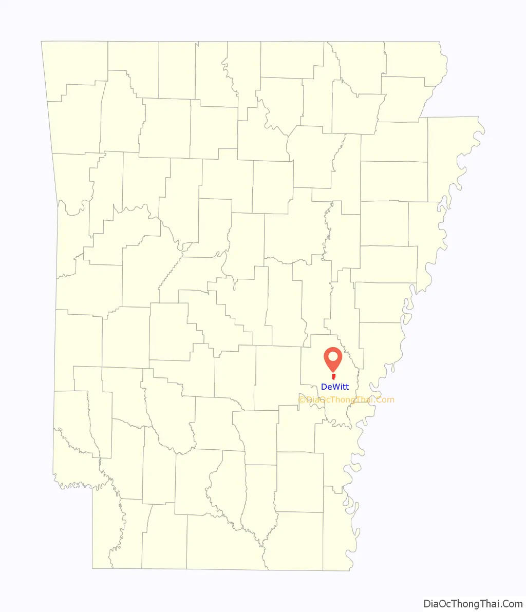
| County: | Arkansas County |
| Incorporated: | January 26, 1876 |
| Elevation: | 190 ft (58 m) |
| Total Area: | 2.99 sq mi (7.75 km²) |
| Land Area: | 2.99 sq mi (7.75 km²) |
| Water Area: | 0.00 sq mi (0.00 km²) |
| Total Population: | 3,056 |
| Population Density: | 1,021.39/sq mi (394.32/km²) |
| ZIP code: | 72042 |
| Area code: | 870 |
| FIPS code: | 0518790 |
| GNISfeature ID: | 0048411 |
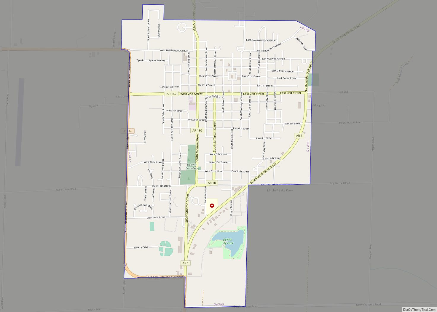
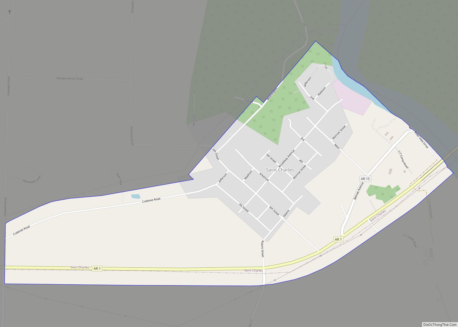
Online Interactive Map
Click on ![]() to view map in "full screen" mode.
to view map in "full screen" mode.
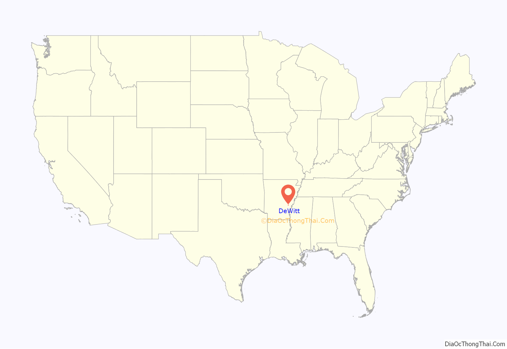
DeWitt location map. Where is DeWitt city?
History
The Arkansas County Quorum Court determined Arkansas Post, which had served as county seat since 1813, was no longer centrally located within the county following creation of several Southeast Arkansas counties. A new, more centrally located town was proposed to become county seat. Founded February 19, 1853, the name DeWitt was picked out of a hat after being submitted by an admirer of the sixth governor of New York, DeWitt Clinton, one of many localities named for Clinton during the period. The town was platted in 1854, and has had a post office since 1856. The city was incorporated in 1875.
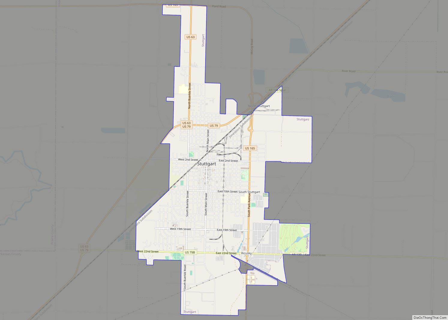
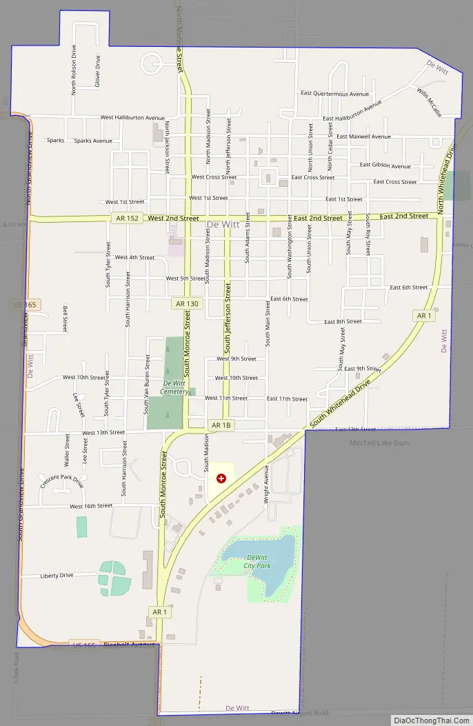
DeWitt Road Map
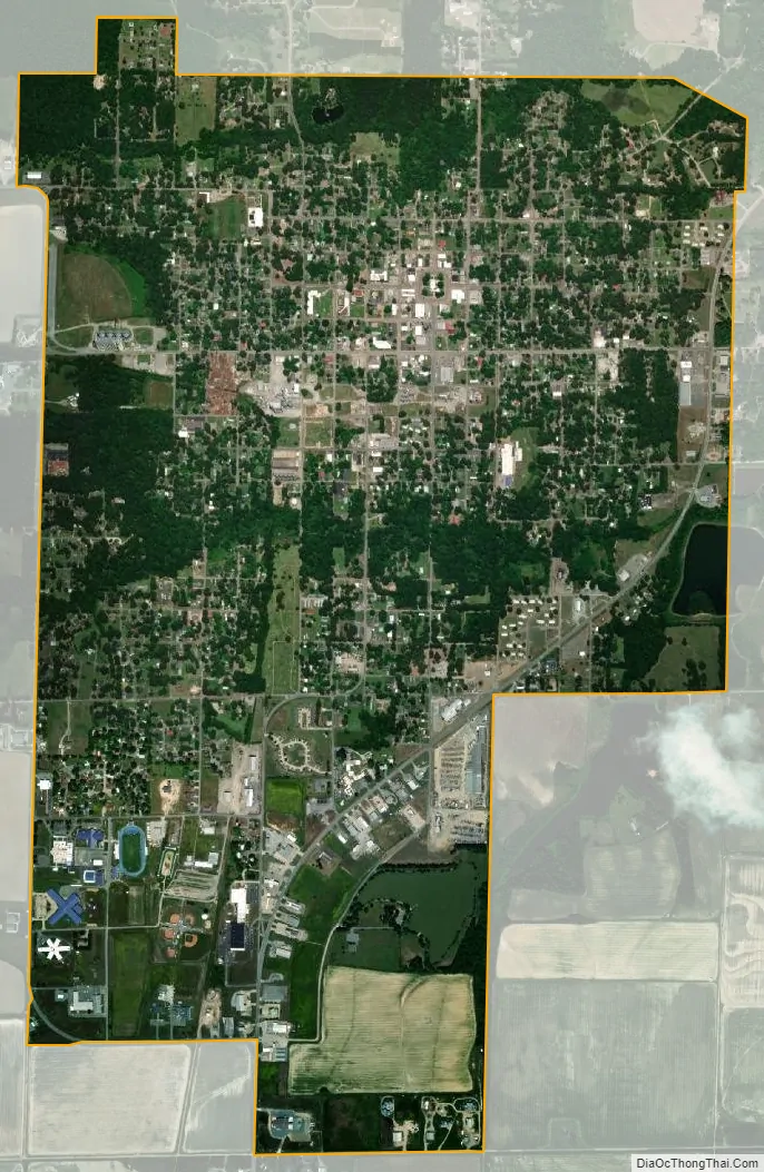
DeWitt city Satellite Map
Geography
DeWitt and Arkansas County are located in the Arkansas Delta (in Arkansas, usually referred to as “the Delta”) a subregion of the Mississippi Alluvial Plain, which is a flat area consisting of rich, fertile sediment deposits from the Mississippi River between Louisiana and Illinois.
Within the Delta, Arkansas County is almost entirely within the Grand Prairie subregion, historically a flat grassland plain underlain by an impermeable clay layer (the Stuttgart soil series). Prior to the 19th century, flatter areas with slowly to very slowly permeable soils (often containing fragipans) supported Arkansas’s largest prairie, covered in prairie grasses and forbs, with oaks covering the low hills and ridges, and pockets of floodplains with bottomland hardwood forests. This region was a sharp contrast to the bottomland forests that once dominated other parts of the Mississippi Alluvial Plain. Cropland has now largely replaced the native vegetation. Distinctively, rice is the main crop; soybeans, cotton, corn, and wheat are also grown. The rice fields provide habitat and forage for large numbers and many species of waterfowl; duck and goose hunting occurs at this important spot along the Mississippi Flyway.
DeWitt is located at 34°17′29″N 91°20′13″W / 34.29139°N 91.33694°W / 34.29139; -91.33694 (34.291477, -91.336983). According to the United States Census Bureau, the city has a total area of 2.6 square miles (6.7 km), all land.
See also
Map of Arkansas State and its subdivision:- Arkansas
- Ashley
- Baxter
- Benton
- Boone
- Bradley
- Calhoun
- Carroll
- Chicot
- Clark
- Clay
- Cleburne
- Cleveland
- Columbia
- Conway
- Craighead
- Crawford
- Crittenden
- Cross
- Dallas
- Desha
- Drew
- Faulkner
- Franklin
- Fulton
- Garland
- Grant
- Greene
- Hempstead
- Hot Spring
- Howard
- Independence
- Izard
- Jackson
- Jefferson
- Johnson
- Lafayette
- Lawrence
- Lee
- Lincoln
- Little River
- Logan
- Lonoke
- Madison
- Marion
- Miller
- Mississippi
- Monroe
- Montgomery
- Nevada
- Newton
- Ouachita
- Perry
- Phillips
- Pike
- Poinsett
- Polk
- Pope
- Prairie
- Pulaski
- Randolph
- Saint Francis
- Saline
- Scott
- Searcy
- Sebastian
- Sevier
- Sharp
- Stone
- Union
- Van Buren
- Washington
- White
- Woodruff
- Yell
- Alabama
- Alaska
- Arizona
- Arkansas
- California
- Colorado
- Connecticut
- Delaware
- District of Columbia
- Florida
- Georgia
- Hawaii
- Idaho
- Illinois
- Indiana
- Iowa
- Kansas
- Kentucky
- Louisiana
- Maine
- Maryland
- Massachusetts
- Michigan
- Minnesota
- Mississippi
- Missouri
- Montana
- Nebraska
- Nevada
- New Hampshire
- New Jersey
- New Mexico
- New York
- North Carolina
- North Dakota
- Ohio
- Oklahoma
- Oregon
- Pennsylvania
- Rhode Island
- South Carolina
- South Dakota
- Tennessee
- Texas
- Utah
- Vermont
- Virginia
- Washington
- West Virginia
- Wisconsin
- Wyoming