Augusta is a city in Woodruff County, Arkansas, United States, located on the east bank of the White River. The population was 2,199 at the 2010 census. The city is the county seat of Woodruff County. Augusta city overview: Name: Augusta city LSAD Code: 25 LSAD Description: city (suffix) State: Arkansas County: Woodruff County Founded: ... Read more
Arkansas Cities and Places
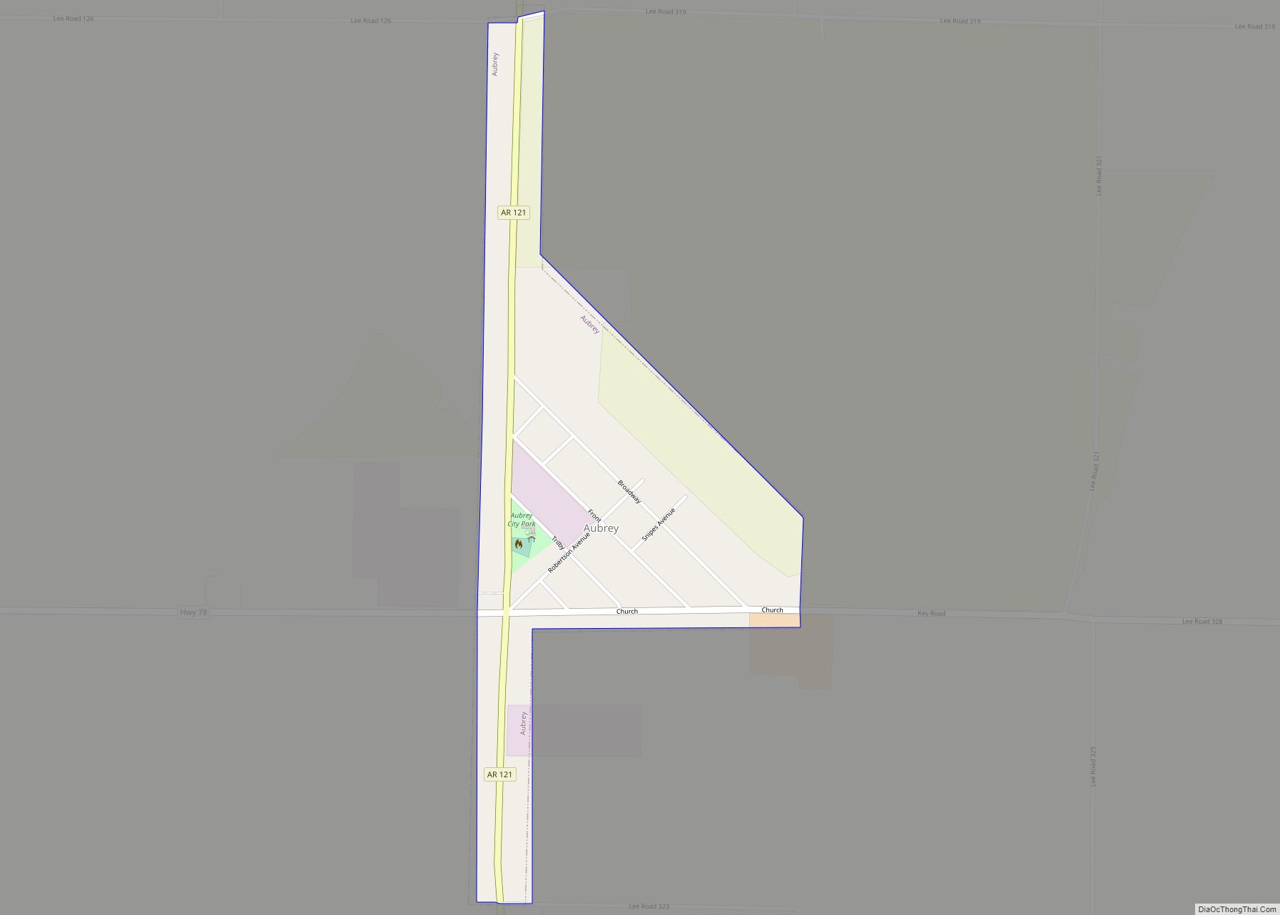
Aubrey is a town in Lee County, Arkansas, United States. The population was 170 at the 2010 census. Aubrey town overview: Name: Aubrey town LSAD Code: 43 LSAD Description: town (suffix) State: Arkansas County: Lee County Elevation: 200 ft (60 m) Total Area: 0.33 sq mi (0.86 km²) Land Area: 0.33 sq mi (0.86 km²) Water Area: 0.00 sq mi (0.00 km²) Total Population: 108 Population ... Read more
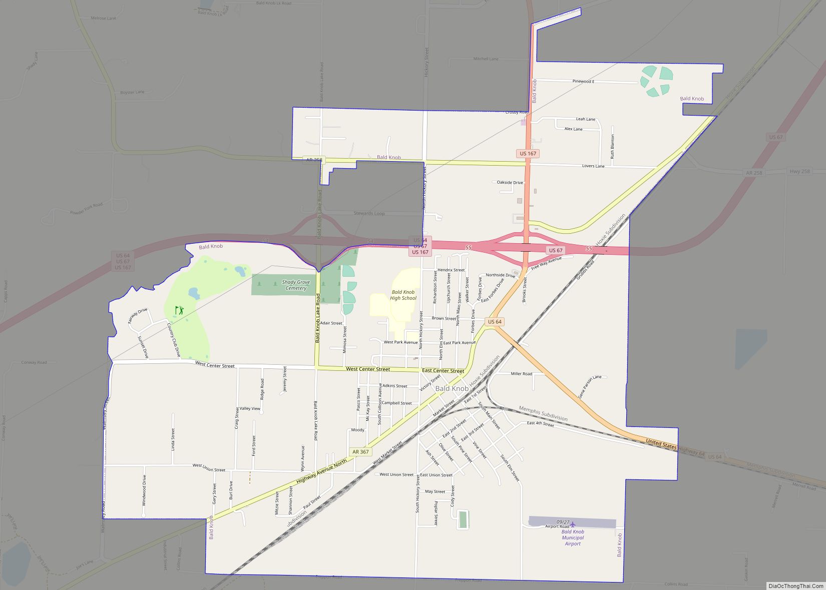
Bald Knob is a city in White County, Arkansas, United States. The population was 2,897 at the 2010 census. Located at the intersection of two of the state’s natural regions, Bald Knob is often promoted as “where the Ozarks meet the Delta”. Bald Knob is known for its yearly Home Fest held during Mother’s Day ... Read more
Avoca is a town in Benton County, Arkansas, United States. The population was 487 at the 2020 census. It is part of the Northwest Arkansas region. It is named after the town of Avoca in Ireland. Avoca town overview: Name: Avoca town LSAD Code: 43 LSAD Description: town (suffix) State: Arkansas County: Benton County Elevation: ... Read more
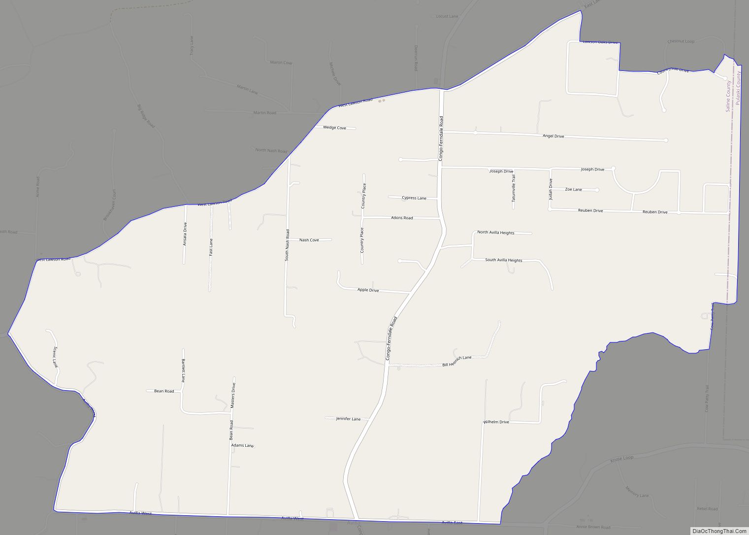
Avilla is a census-designated place in Saline County, Arkansas, United States. Per the 2020 census, the population was 1,325. Avilla CDP overview: Name: Avilla CDP LSAD Code: 57 LSAD Description: CDP (suffix) State: Arkansas County: Saline County Elevation: 505 ft (154 m) Total Area: 6.35 sq mi (16.44 km²) Land Area: 6.33 sq mi (16.38 km²) Water Area: 0.02 sq mi (0.06 km²) Total Population: 1,325 ... Read more
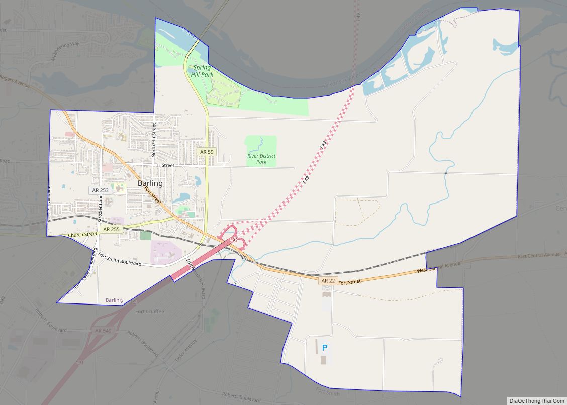
Barling is a city in Sebastian County, Arkansas, United States. It is part of the Fort Smith, Arkansas–Oklahoma Metropolitan Statistical Area. As of the 2020 Census the population was 4,782, ranking it eighth in the Greater Fort Smith Area. Barling was incorporated in 1956. Barling city overview: Name: Barling city LSAD Code: 25 LSAD Description: ... Read more
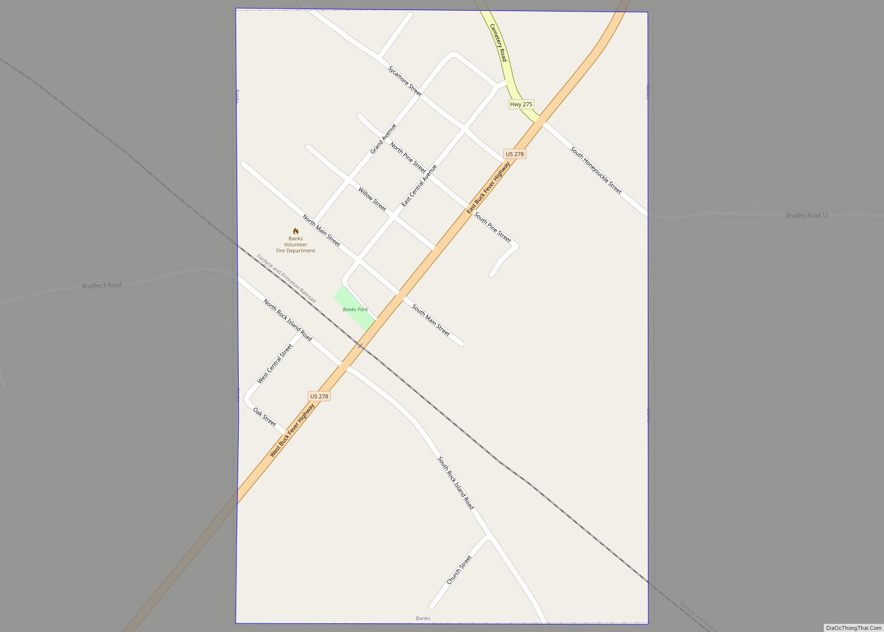
Banks is a town in Bradley County, Arkansas, United States. As of the 2010 census the population was 124. Banks town overview: Name: Banks town LSAD Code: 43 LSAD Description: town (suffix) State: Arkansas County: Bradley County Elevation: 207 ft (63 m) Total Area: 0.38 sq mi (0.97 km²) Land Area: 0.38 sq mi (0.97 km²) Water Area: 0.00 sq mi (0.00 km²) Total Population: 87 ... Read more
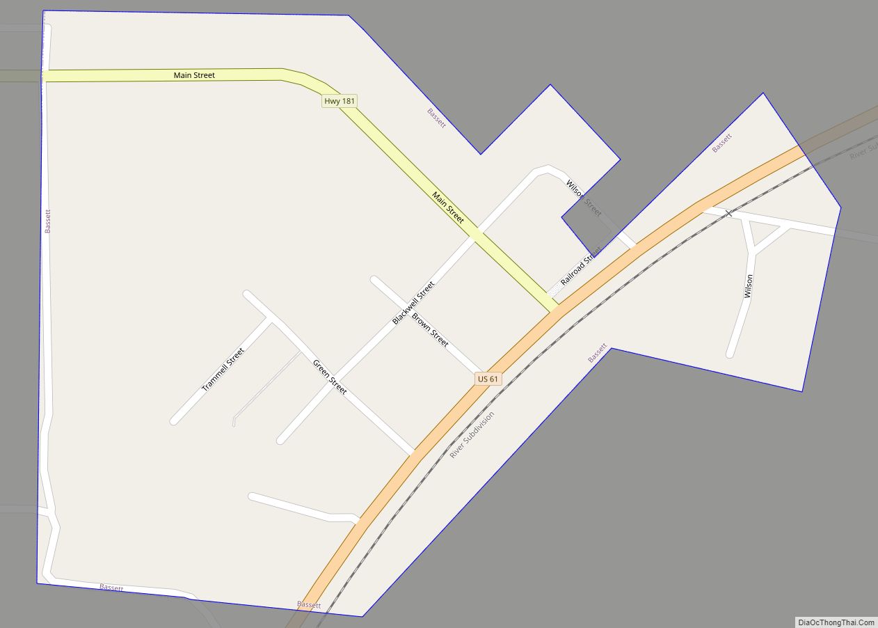
Bassett is a town in Mississippi County, Arkansas, United States. The population was 124 at the 2020 census, down from 173 in 2010. Bassett town overview: Name: Bassett town LSAD Code: 43 LSAD Description: town (suffix) State: Arkansas County: Mississippi County Incorporated: 1965 Elevation: 236 ft (72 m) Total Area: 0.24 sq mi (0.63 km²) Land Area: 0.24 sq mi (0.63 km²) Water ... Read more
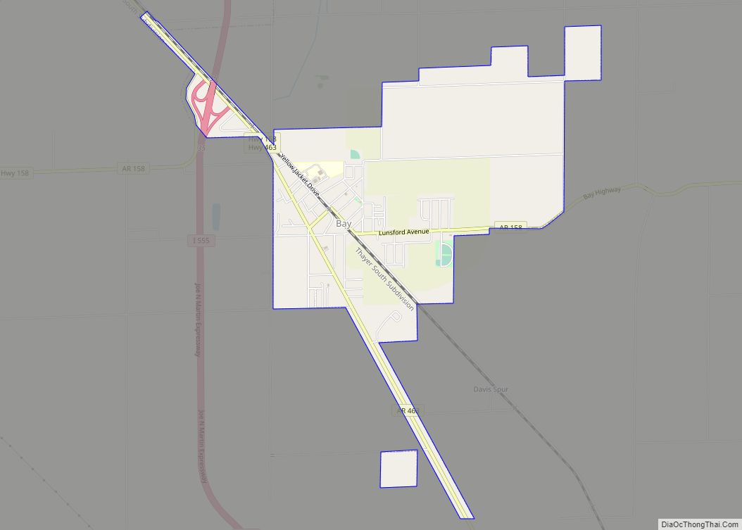
Bay is a city in Craighead County, Arkansas, United States. The population was 1,876 at the 2020 census. It is included in the Jonesboro Metropolitan Statistical Area. Bay city overview: Name: Bay city LSAD Code: 25 LSAD Description: city (suffix) State: Arkansas County: Craighead County Elevation: 230 ft (70 m) Total Area: 3.10 sq mi (8.02 km²) Land Area: 3.09 sq mi ... Read more
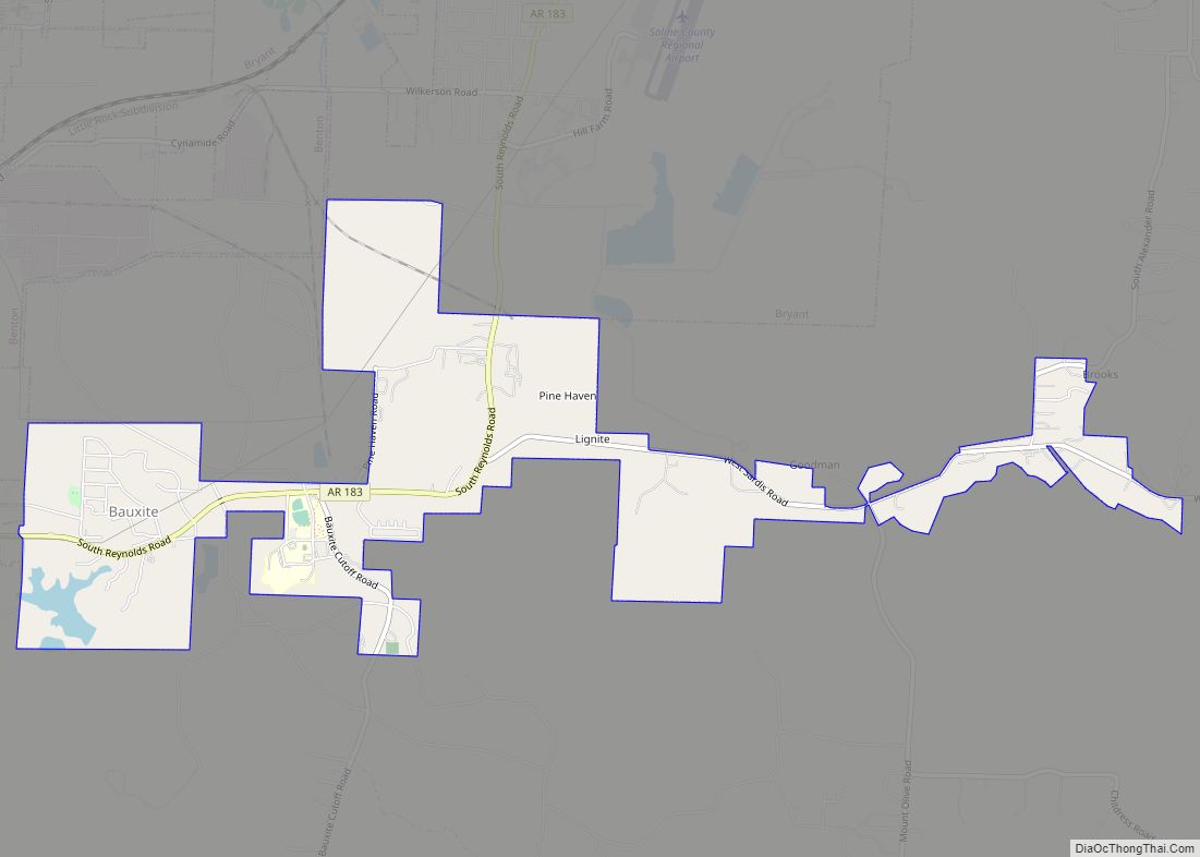
Bauxite is a city in Saline County, Arkansas, United States. Located within Central Arkansas, the city is named for bauxite, the source ore for aluminum, which was found in abundant quantities in the area and became a source of aluminium refining. The city’s population boomed during expanded aluminium production during World War II and shrank ... Read more
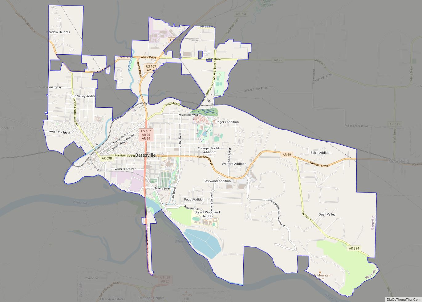
Batesville is the county seat and largest city of Independence County, Arkansas, United States, 80 miles (183 km) northeast of Little Rock, the state capital. According to the 2010 Census, the population of the city was 10,268. The city serves as a regional manufacturing and distribution hub for the Ozark Mountain region and Northeast Arkansas. Batesville ... Read more
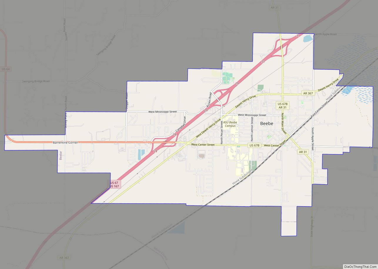
Beebe is a city in White County, Arkansas, United States. The population was 7,315 at the 2010 U.S. Census, making it the second most populous in the county. The city is home to Arkansas State University-Beebe. ASU-Beebe also has branch campuses in Heber Springs and Searcy and at Little Rock Air Force Base. Beebe city ... Read more

